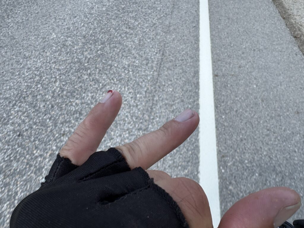
Adventure to find an adventurer 8 Aug 4:05 AM (2 months ago)
Still planning on finishing up the write-up about my Canadian adventure soon, but in the meantime I’ve had another adventure finding a true adventurer – Peter Frank – who is currently 3/4 of the way through 6000 miles on the Great Loop by canoe.
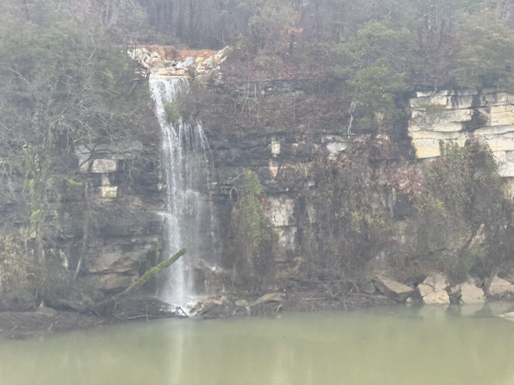
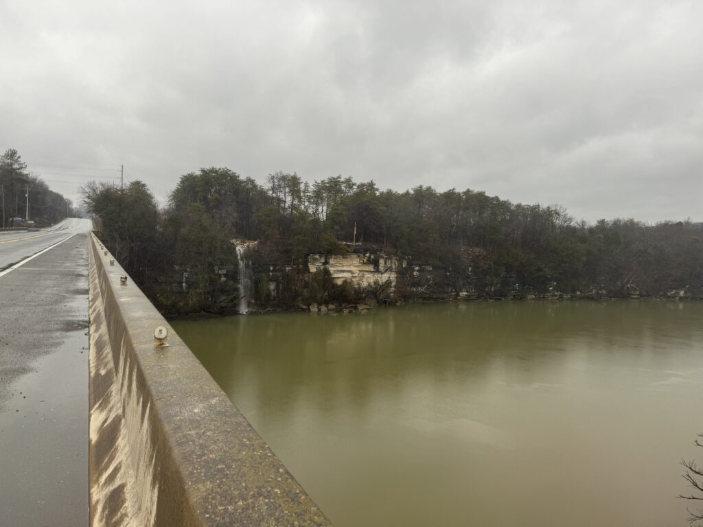
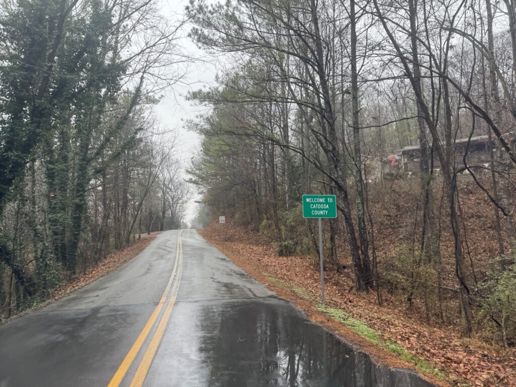
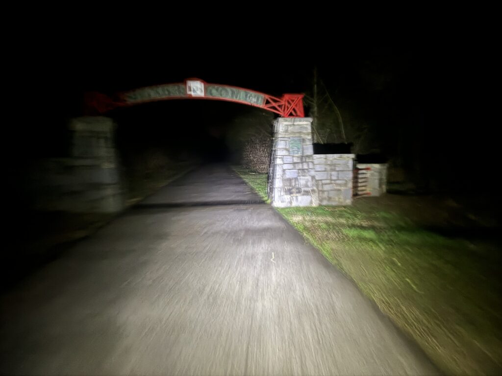
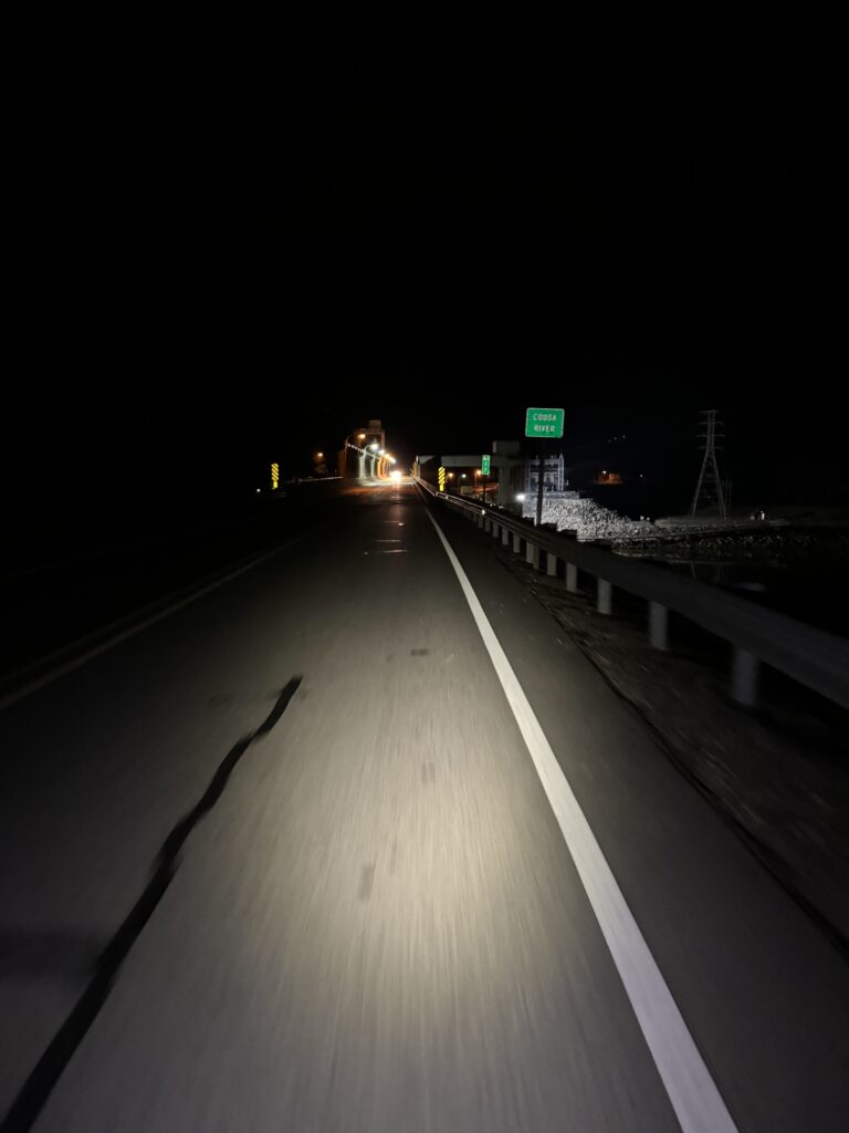
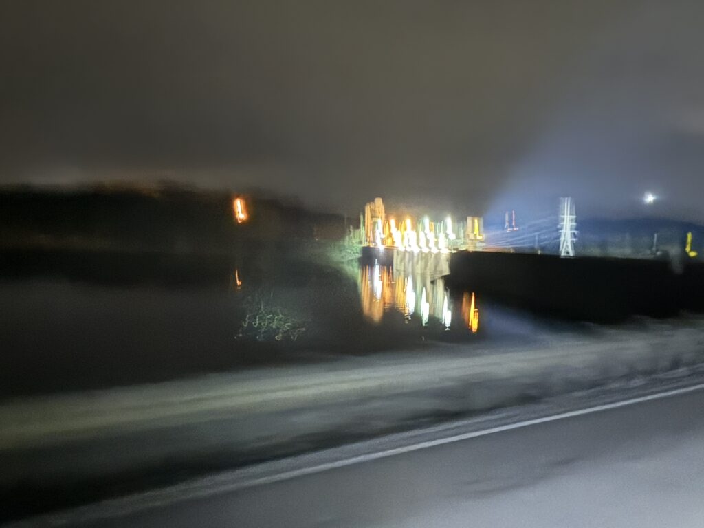
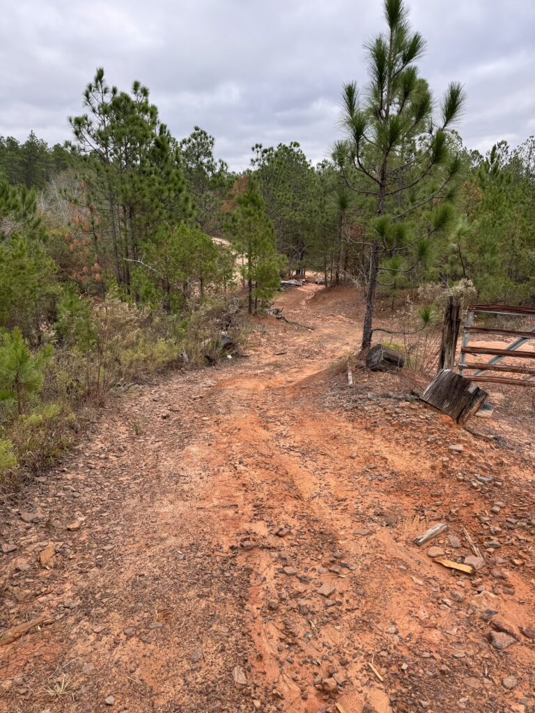
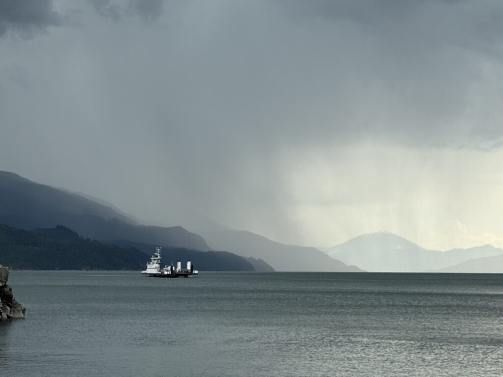
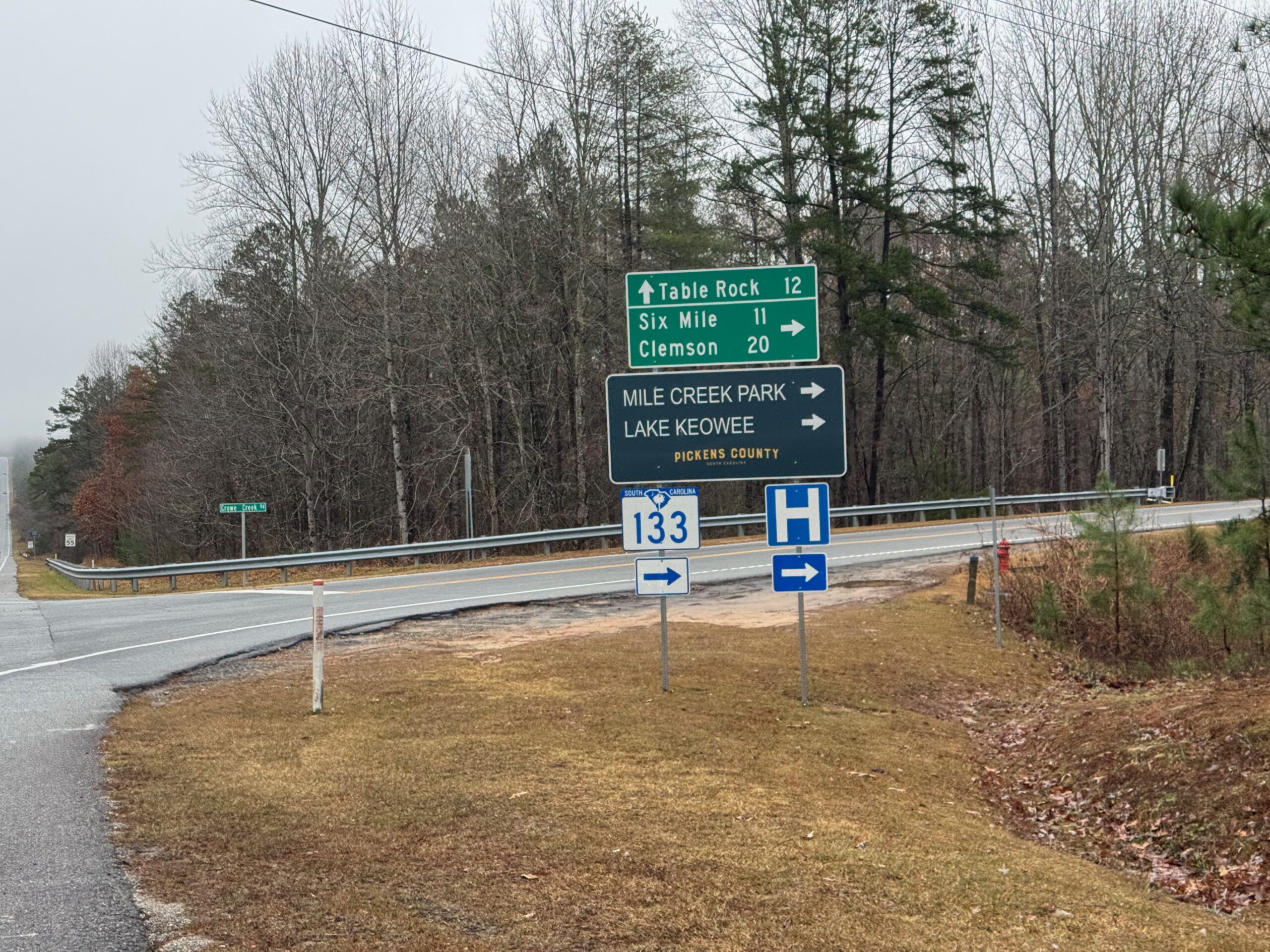
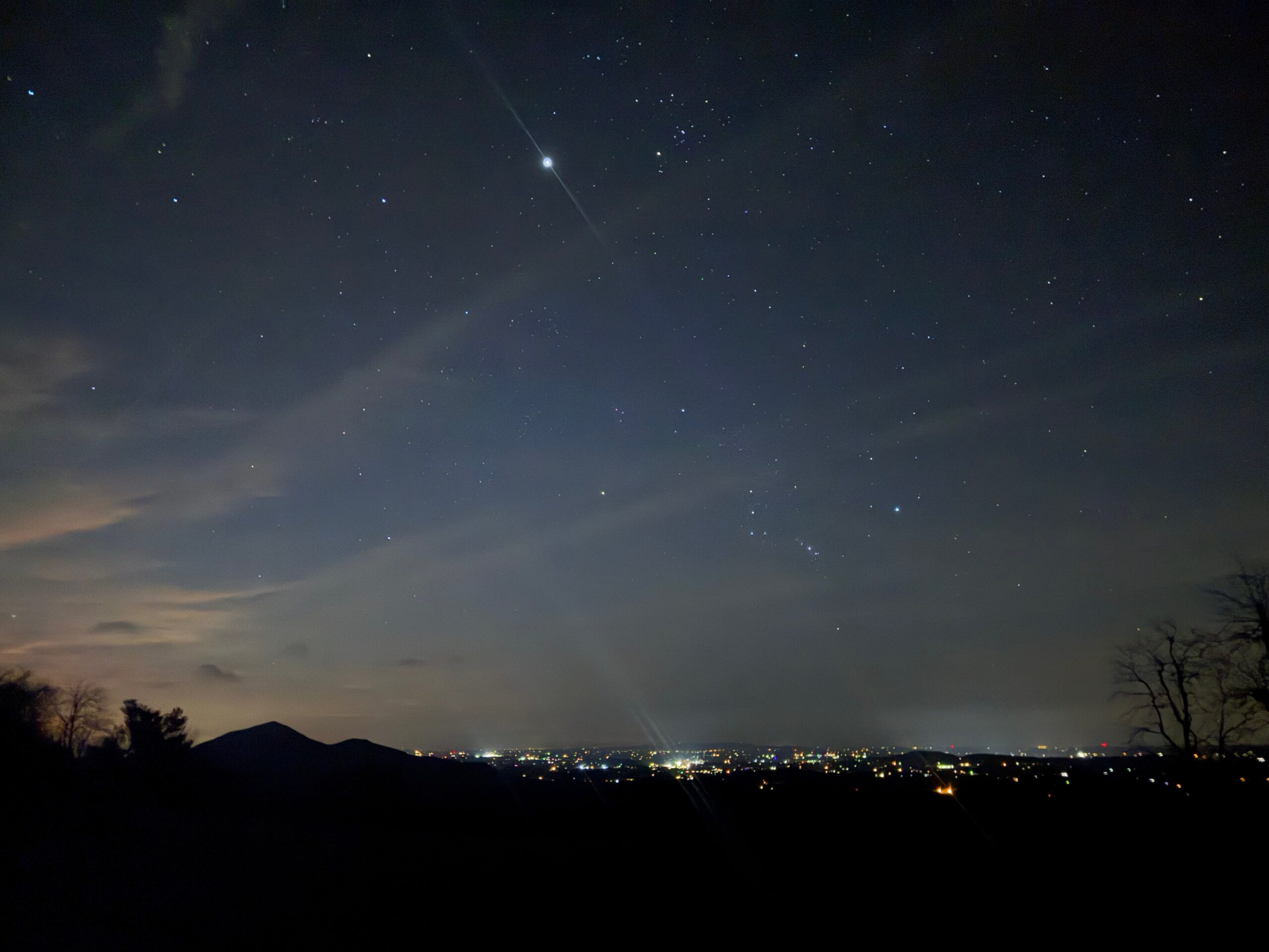
I tried to find Peter when he was near Columbus, MS a couple weeks ago, but the timing was off. This time I arrived right as he was canoeing by Clifton, TN. I left Birmingham around 1am and drove 100 miles northwest to Hamilton, AL.
I had a 260 mile route planned that first took me across the TN river at Florence, AL and then straight to Savannah, TN where I would follow the river until I found him – turning around in Clifton. But before I made it across the border to TN I saw that he was moving already, so I immediately did a Google Maps bicycling direction straight north to Clifton.
I thought for sure he would already be gone by the time I got there and my hope was that he would meet some people and hang out/resupply for a few minutes and maybe I would catch him as he was leaving. Instead, my progress through logging roads and old gravel roads was faster than expected. In fact, it looked like I was going to make it to Clifton with plenty of time.
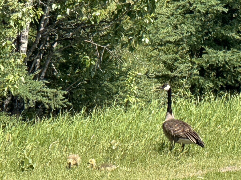
I was using some of the route I had planned for my return after Clifton and knew there was a fire tower, and my new biking directions were taking me right by it. Seeing I had at least a few minutes, I turned and rode the half mile up to the tower and climbed it. It was a really rough logging road with logging trucks. Thankfully the only one that passed was while I was up at the top of the tower.
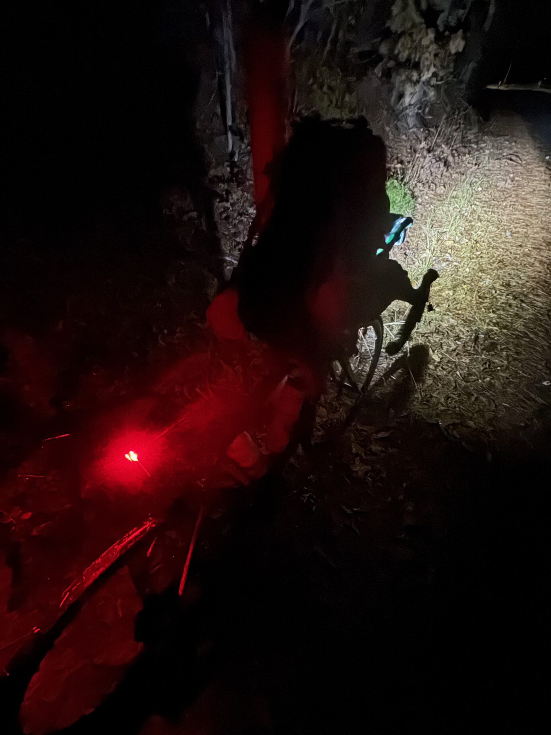
This took quite a bit of time, but I still was thinking I would be there ahead of him so I also stopped at a gas station to get supplies for myself and to give to Peter if he did stop and needed anything. He was really close by this point and as I finally made it to the river, there he was! I quickly dropped down to a city boat dock and waved and shouted encouragement as he canoed by in the middle of the river.
I thought he was going over to the other side (as there was a couple at a boat launch over on the other side), but he just continued right through the middle of the river. I think he waved but he may have just been resting with his paddle up in the air. It made me think on the way back how many people he must pass by every day cheering him on. I was excited to see him even if I didn’t get a chance to meet him.
There was another person on the dock with me who was from Clifton and had seen him at the marina on the far side of town, but drove down to see him again at the city dock. We chatted for a few minutes as I biked very slowly up the steep access road and she walked beside me (that’s how slow I was going).
It had gotten quite hot by this point, and not wanting to go back the exact same way I reverse some of the original parts of my route towards Savannah, but knew that I was already long on miles and looked for a good cut-off short of town. I found it, but it missed all the gas stations.
So by the time I made down Choate’s Creek and past Porter Creek’s swimming hole, I was long out of water. I thought about jumping into the swimming hole to at least cool my body off. And given the heat and humidity, I don’t think it would have made that much difference in how wet my clothes were. But I was hopeful to find something, and find something I did!
Jay’s Market didn’t even show up on Google Maps as a store, but it was there and open and cool inside with tables and chairs! While I resupplied this really friendly customer came in and was chatting with the clerk and me. We all ended up sitting down at the tables together and talking for a good solid 30 minutes. The clerk gave me some ice from a bag (they didn’t have an ice dispenser) and it was so perfect. It was great meeting this guy who was a retired tow boat worker. He told me there were generations of tow boat workers up there in Clifton and the surrounding towns. He knew about Peter from one of his buddies he had seen the day before and was talking about the canoe trip. I found this out when he asked what I was doing up there, and I told him about my mission to find Peter.
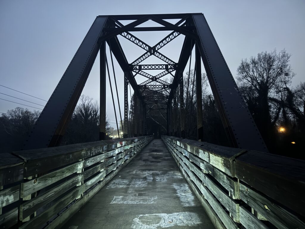
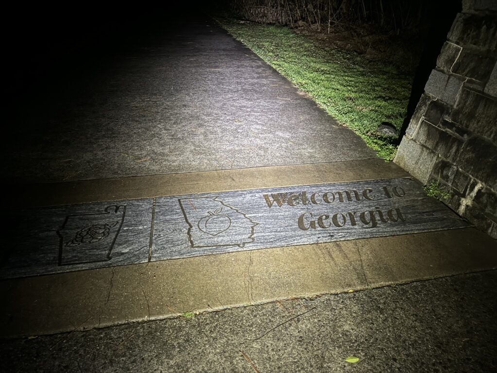
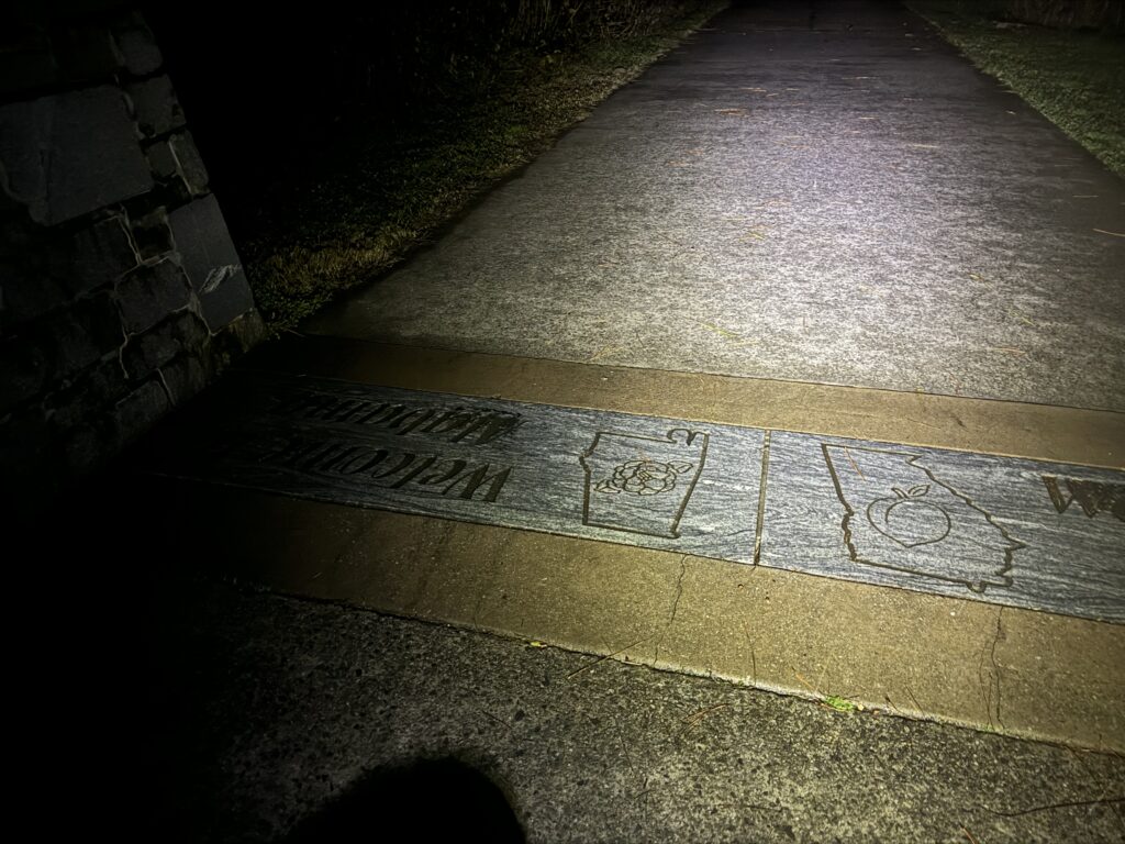
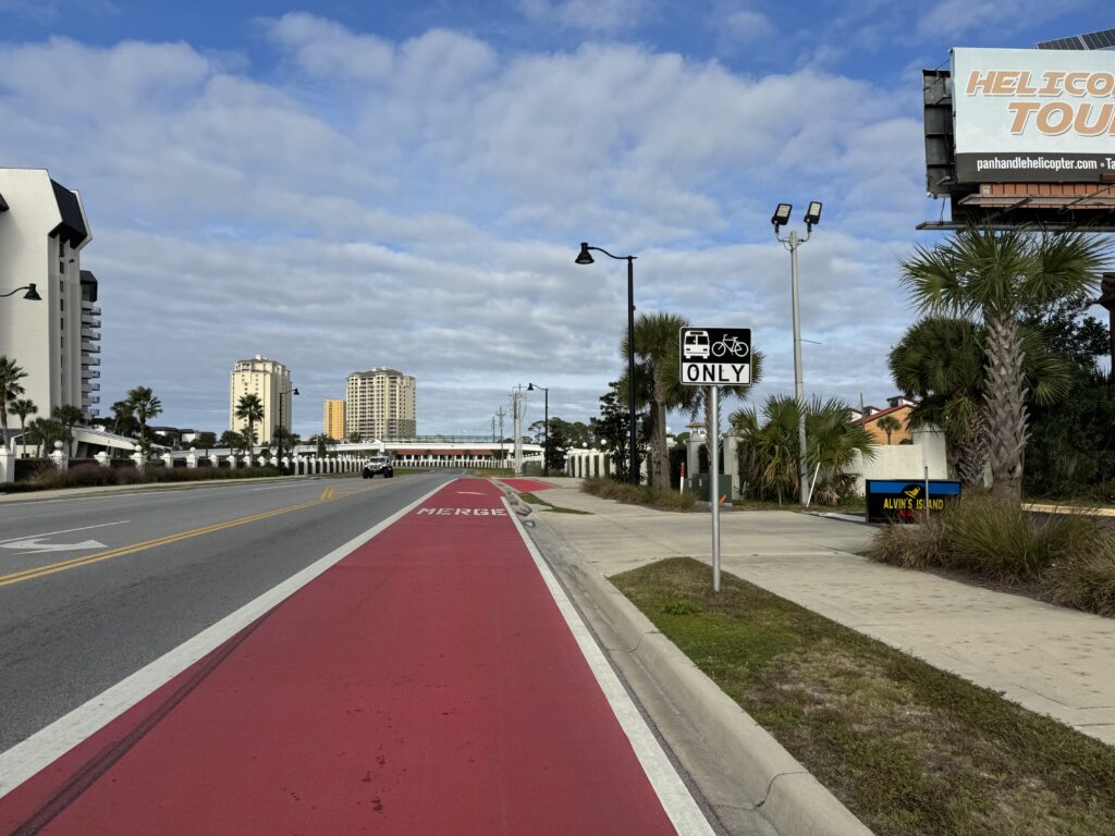
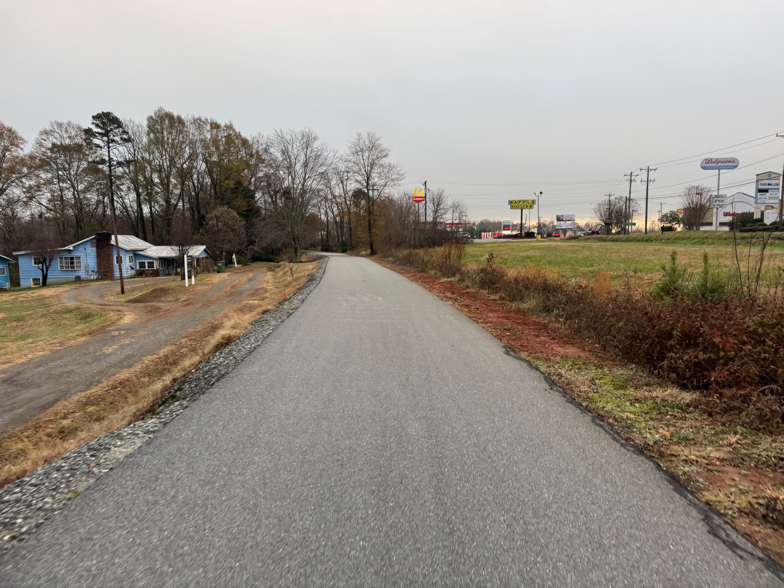
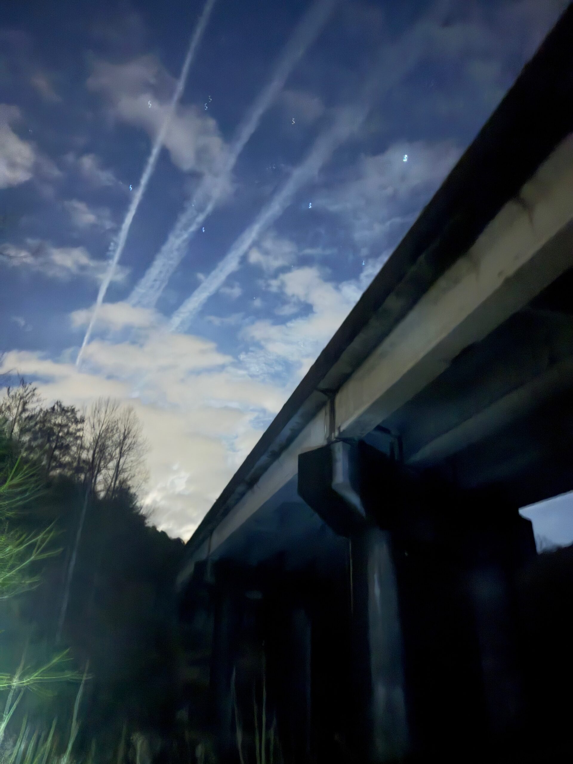
Even after this time in the AC and tons of liquids, it was now about 2pm and so unbelievably hot. I routed myself through Central north of Florence so I could come into town at the pedestrian bridge. It was a cool bridge with a tunnel like feel (to prevent suicides, I think). On the other side, the path was a mix of rails to trail in a couple spots and super steep old roads, hilariously not rails-to-trail or probably any kind of “bike path” regulation … no signs at all, just a nice 10-15% downhill followed by an equally steep uphill, all through a canyon forest. I could see the bike path pavement laid out on top of an old road bed pavement. It was so awesome and great to finally have some shade and get away from the traffic which was quite heavy at 5:30pm through Mussel Shoals and Tuscumbia.
Through Tuscumbia, I rode by the other side of Hellen Keller’s birthplace, and even though it was open on my way back I was too hot and tired to try and visit the cool looking estate called Ivy Green.
I refueled at a gas station knowing I had about 60 miles left with one stop in the middle. It was very, very rural and quite roads. I spent a lot of time with zero cars on a route that switched roads so many times. I was lucky that the gas station on Hwy 24 was still open. Lights were already out on half the store, but it was still unlocked and the clerk was packing things up. I said, “looks like you’re getting ready to close”. She said “yep, I’m out of here as soon as you leave”. She was friendly and told me to take my time, so i got the stuff I needed to make it the last 35 miles back to Hamilton.
It was super hilly with several thousand of the 14,000+ feet of climbing all in the last 35 mile stretch with very steep straight uphills, a relatively flat top, followed by a screaming fast descent on the other side. The only problem is that the roads varied between rough chip seal patched potholes to open potholes and the sun had already set so I had to take the downhills slower than I’d like since I couldn’t see anything out of my glasses given the humidty and low light.
I turned on County Rd 29 with a “Rebuild Alabama” sign and perfect fresh tarmac and kept wondering when it would run out, but the last 10 miles of the route were generally downhill and fast now that I didn’t have to worry about hitting potholes. It was the perfect way to end the adventure rolling up one last steep hill into downtown Hamilton, wandering around a little bit trying to find the car, and making it back before 9pm.


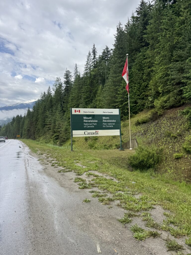
Canadian American data adventure summary – Part 1: Canadian writeup 7 Jul 10:40 AM (3 months ago)
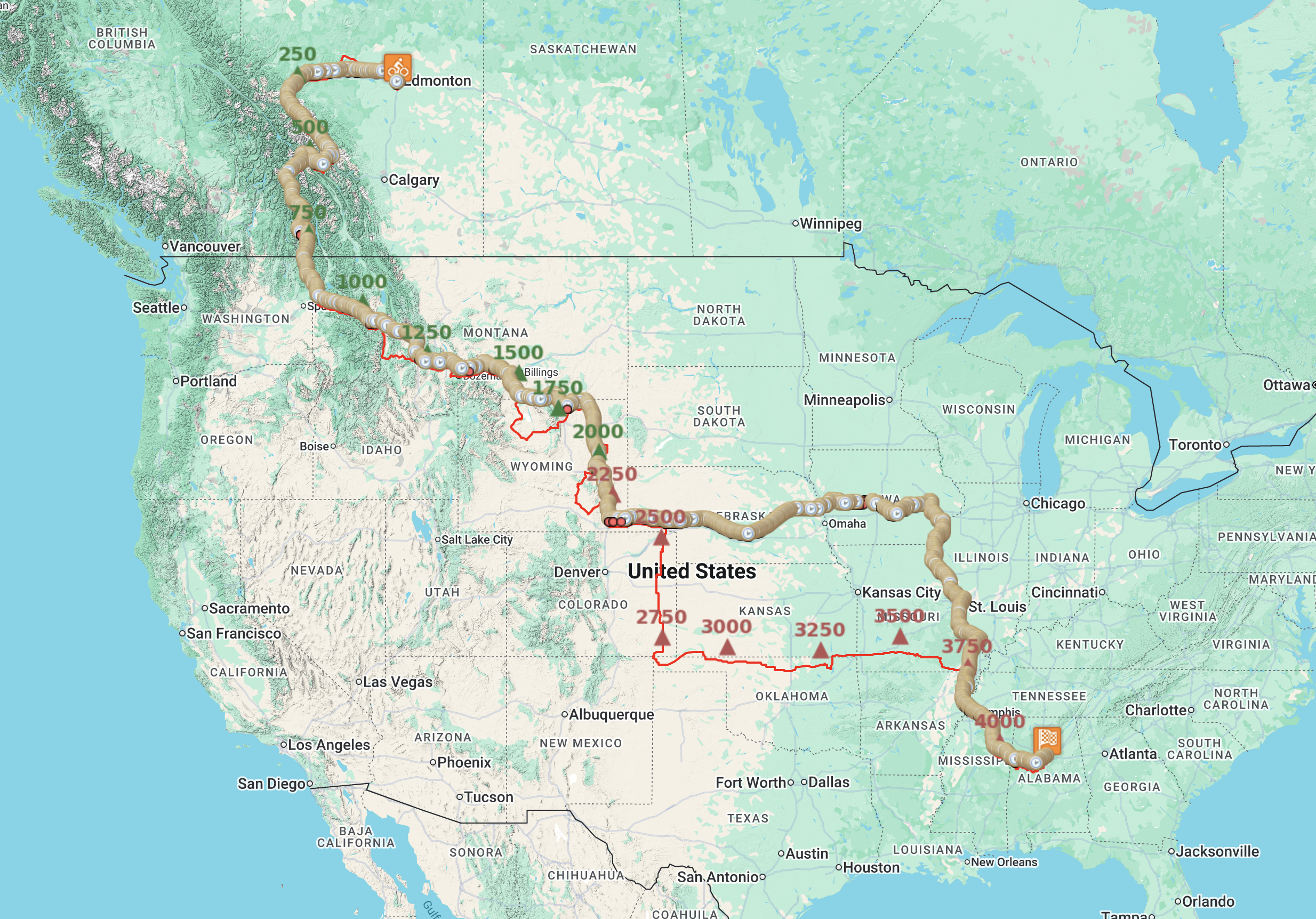
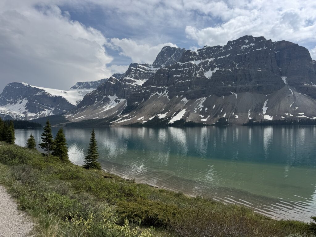
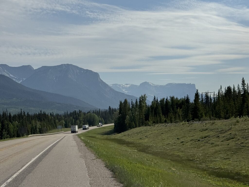
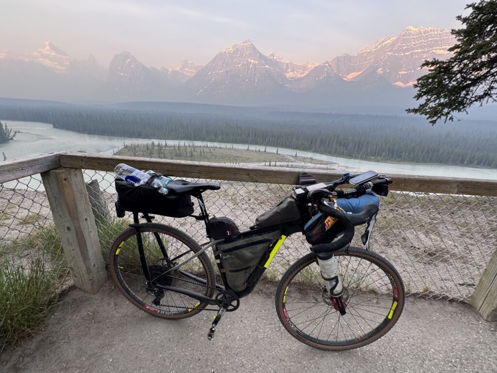
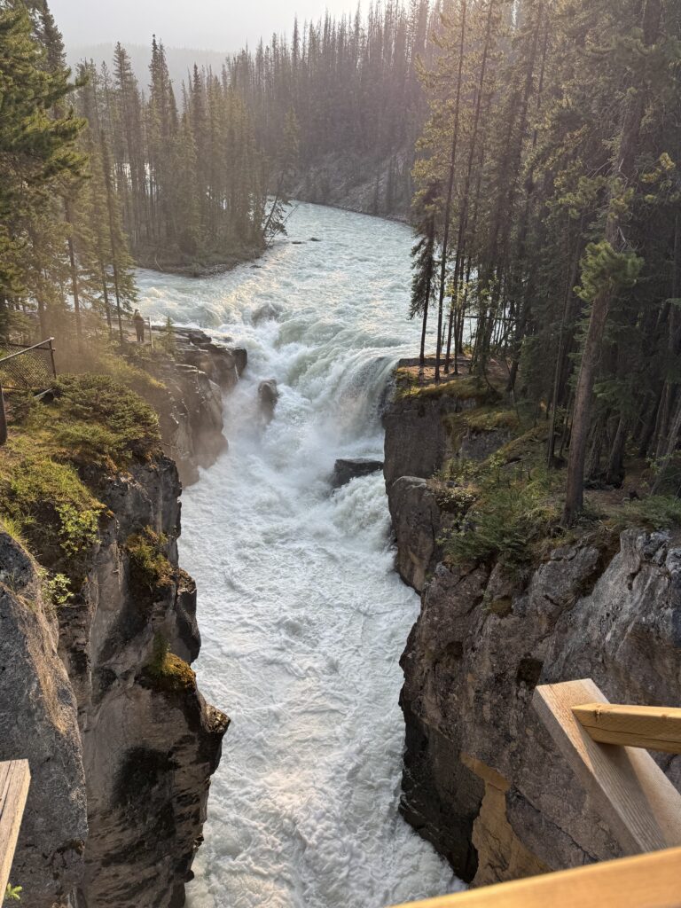
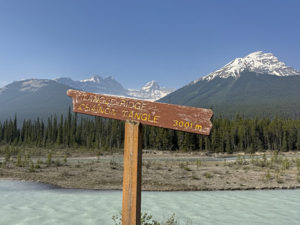
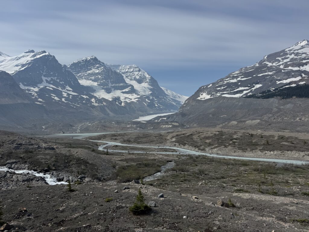
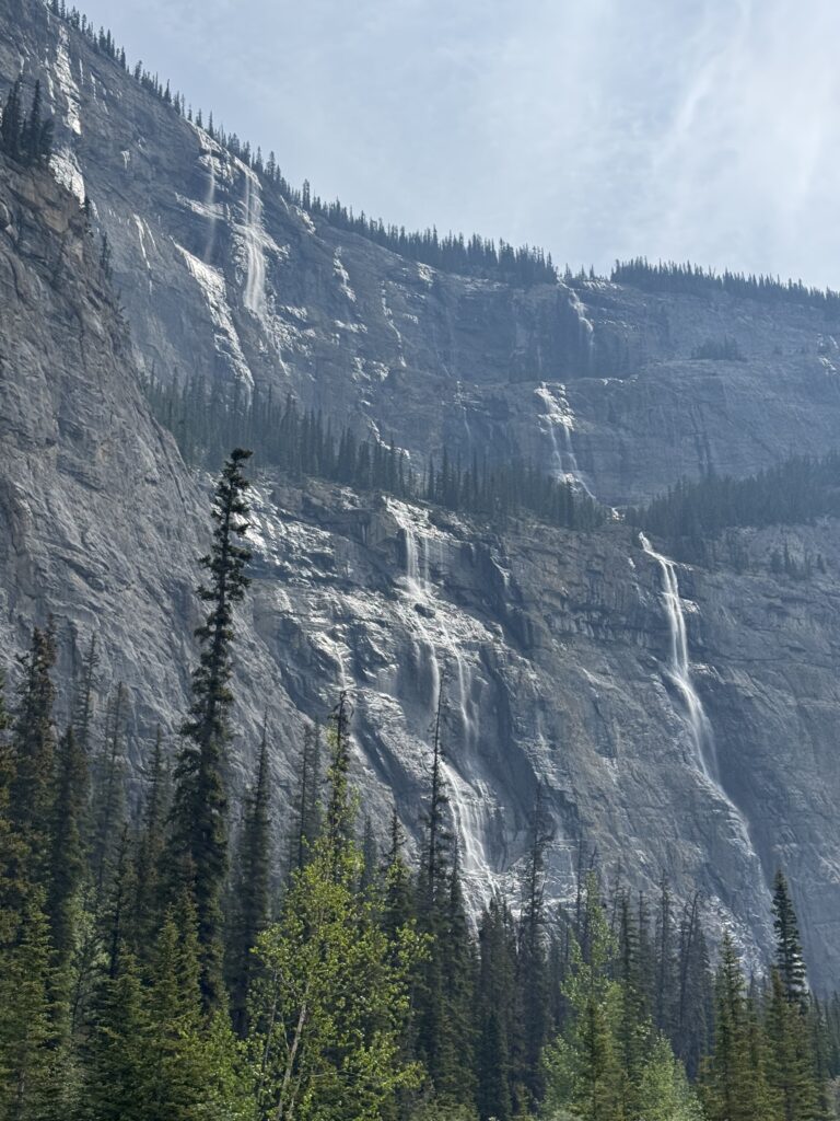
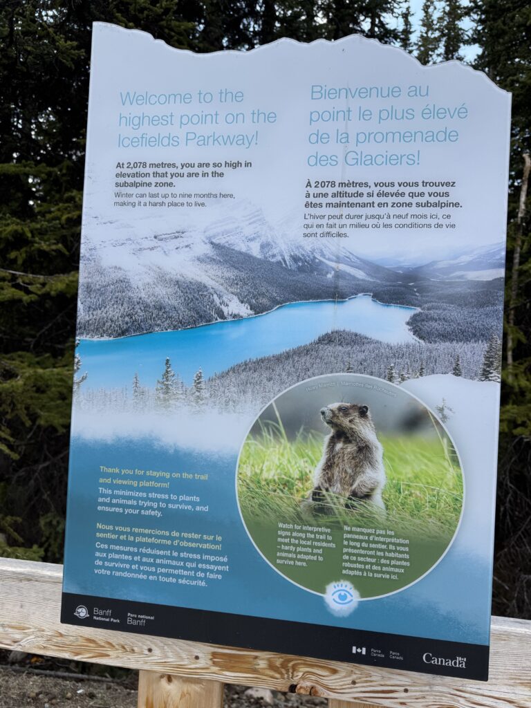
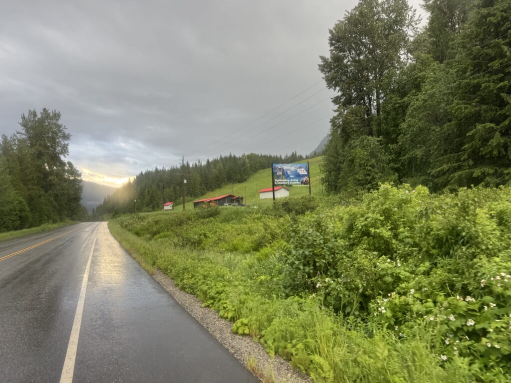
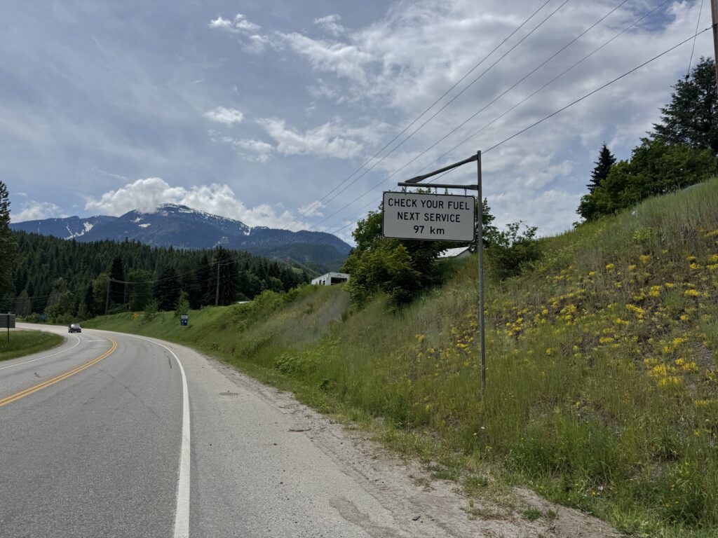
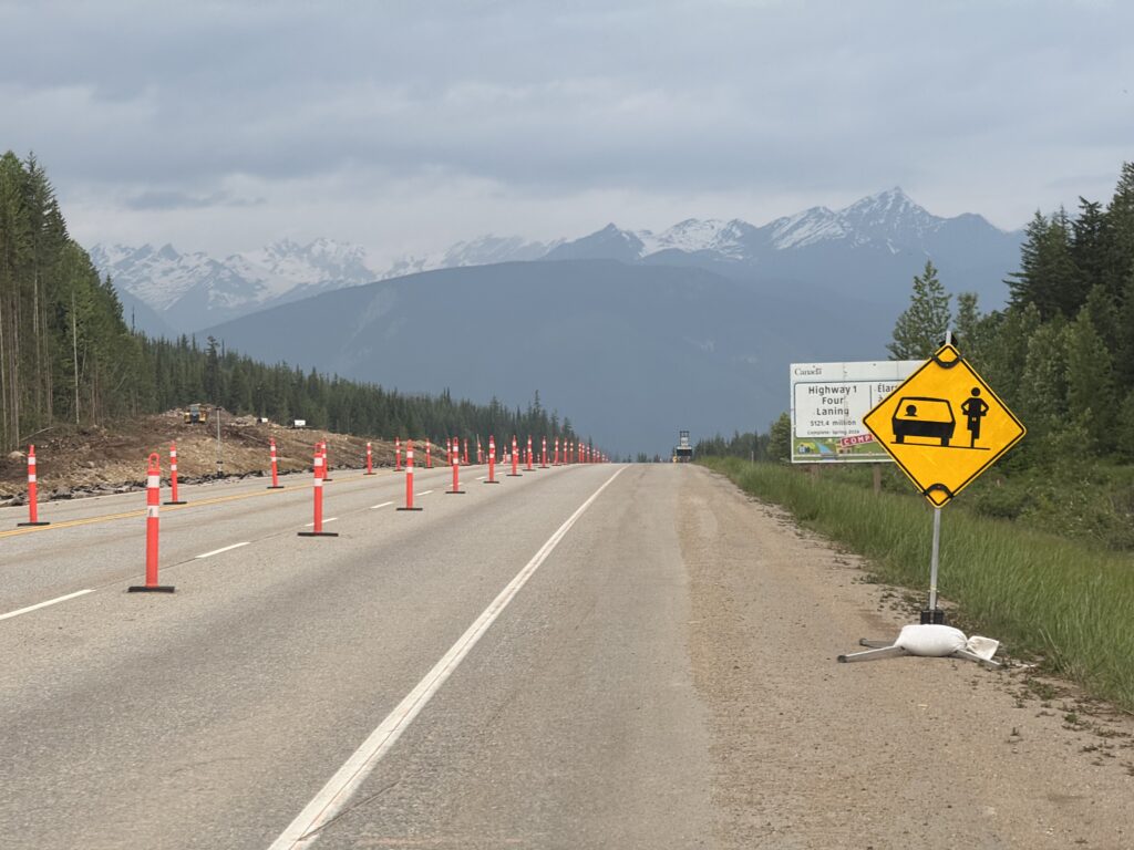
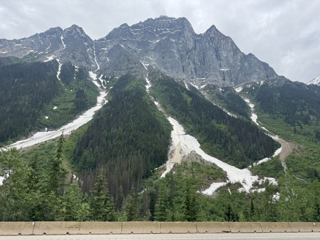
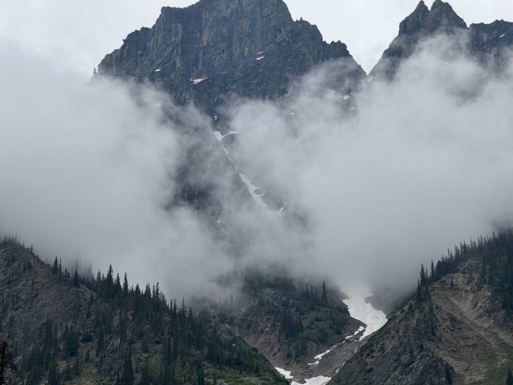
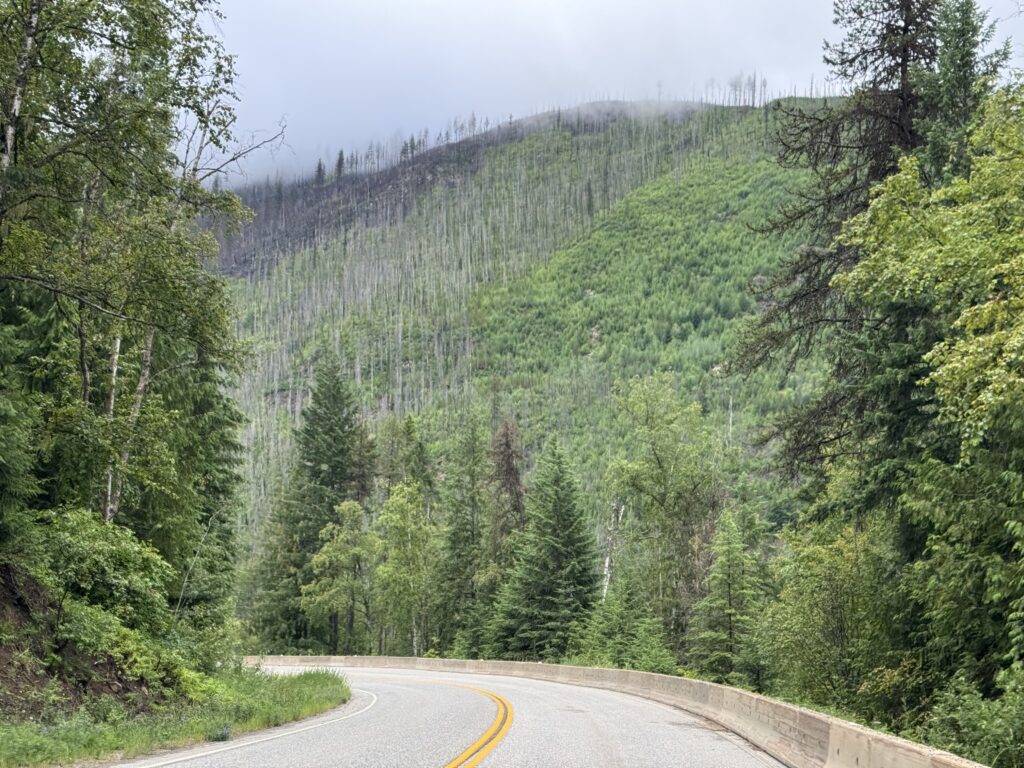
To avoid the risk of never getting around to writing up about my 3757 mile data adventure ride from Edmonton, Canada to Hoover, Alabama, I’m going to go ahead and post this with a stream of consciousness recap and split this up into a few different posts. This one is the Canadian summary, which was by far the highlight of the trip. The picture at the top of this post is taken from the Icefields Parkway, about 40 miles north of Lake Louise. The Icefields Parkway was easily the most spectacular part of the entire trip with so many snow covered mountains appearing around each bend in the road. This isn’t necessarily the best photo from that section, but it really captures all the parts … lots of mountains, lots of tourist vehicles, and good wide completely rumblestrip free shoulder for riding nearly 150 miles between Jasper and Lake Louise.
TLDR
3757 miles with 129,193 feet of climbing over 21.5 days
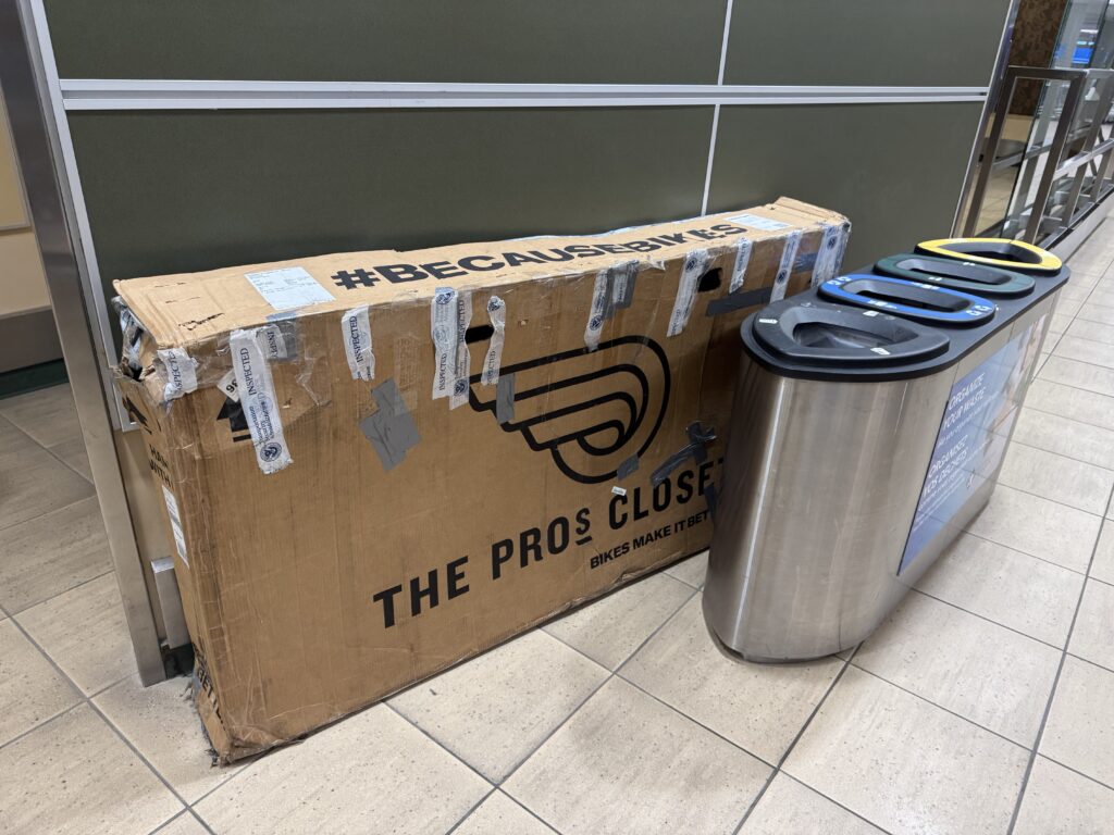
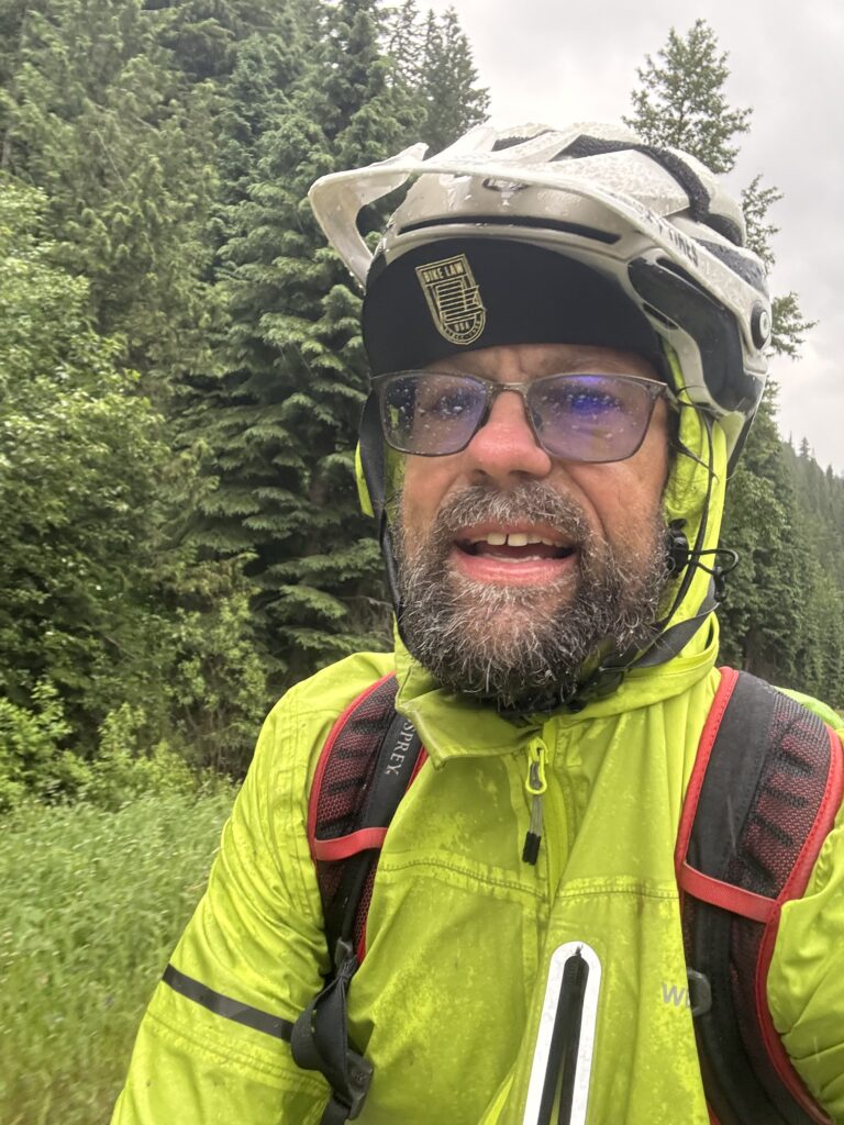
I flew on a one-way ticket from Birmingham, Alabama to Edmonton, Canada with my bike packed into a well-used cardboard shipping box. Upon landing at 10:30pm (still in daylight!), I assembled my bike in the airport and rode 3757 miles home to Hoover, Alabama finishing up the ride on my daily commute route home from work.
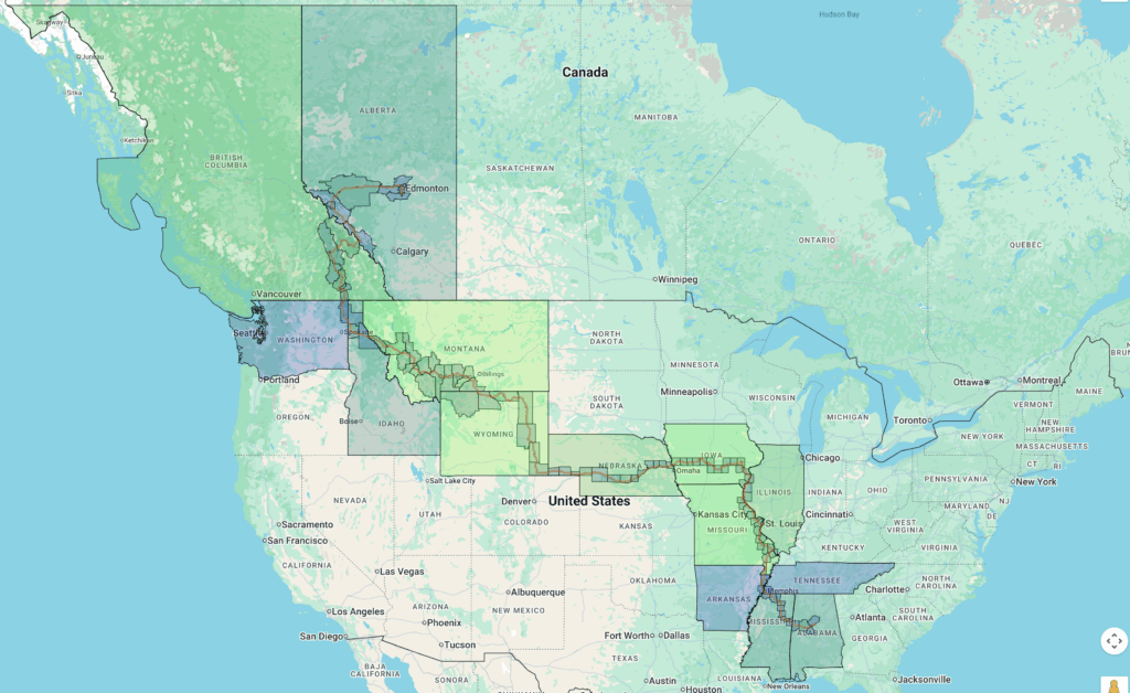
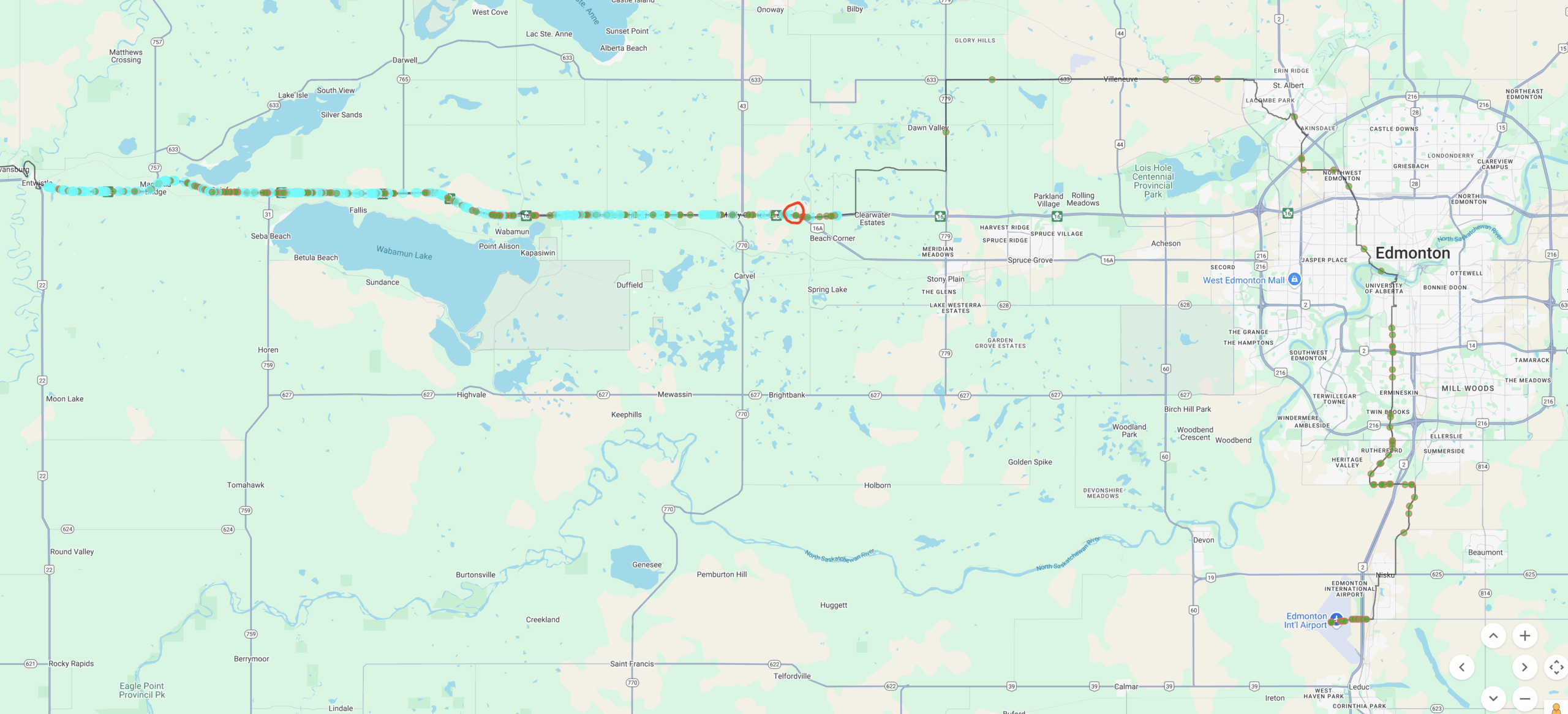
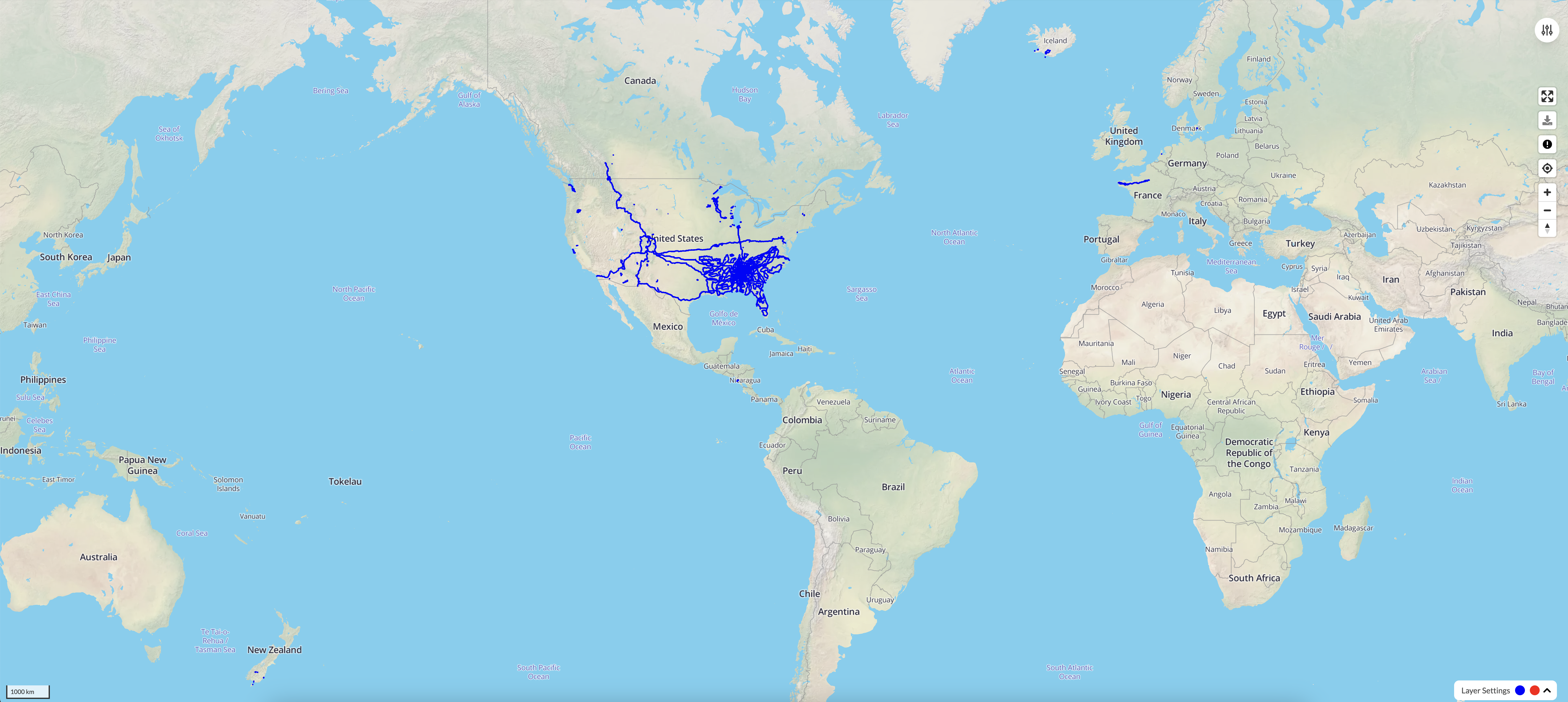
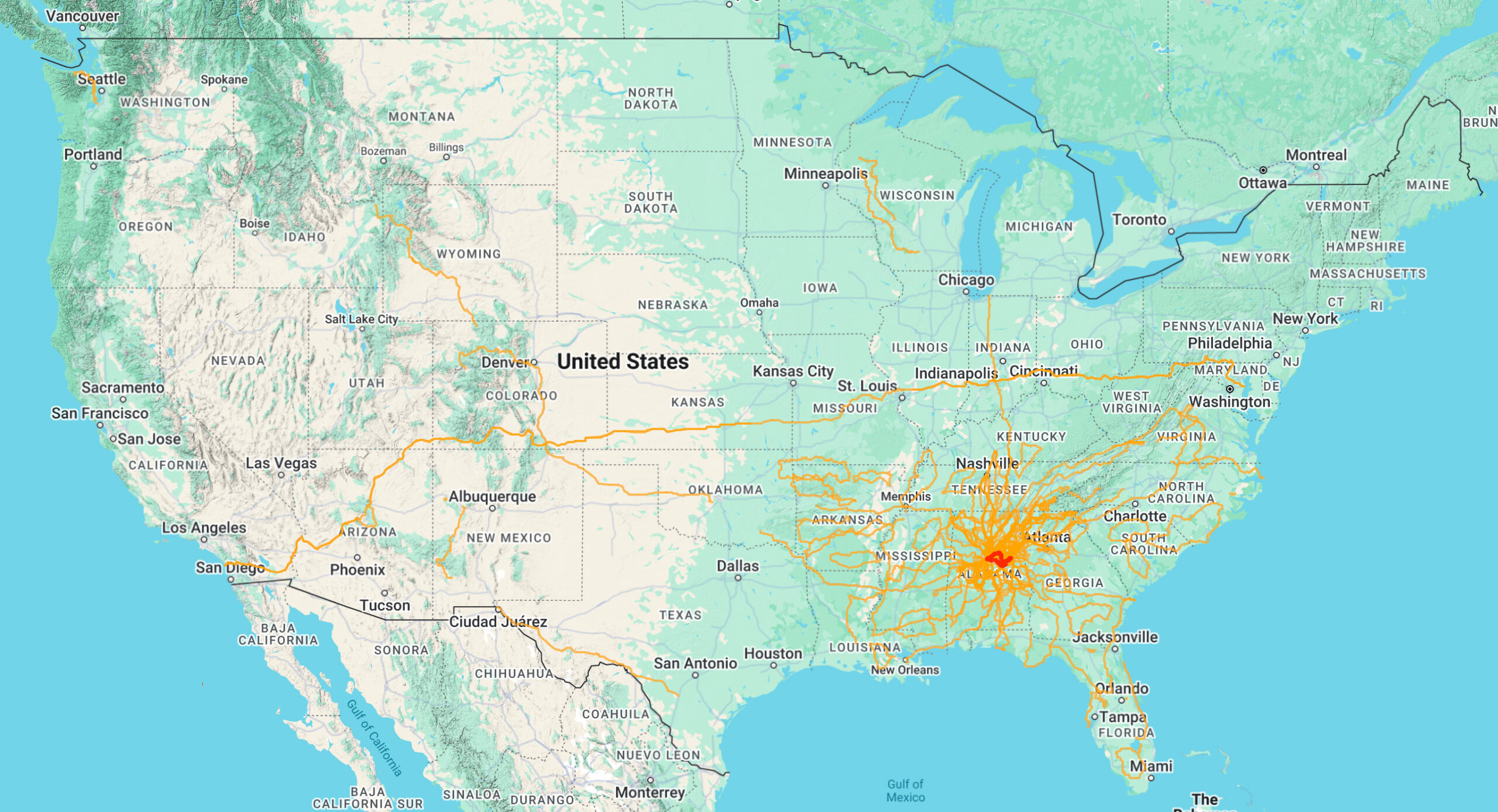
Absolutely amazing scenery with glacier covered mountain after glacier covered mountain and lots of rain in Canada eventually giving way to the “heat dome” that was affecting the east coast and central part of the USA and causing a very strong south wind which prevented me from making my way down through Eastern Colorado where I would have been battling a 20-30mph sustained headwind. Instead I opted to veer in a northeasterly direction so that I enjoyed a tailwind and cross-tailwind for a day before turning more eastward and a nasty battle with a crosswind. The map below shows my intended route (red) vs the actual route (little clock icons from my satellite tracker): https://pickuta.com/album/323
The wind never stopped blowing up from the South, but it did quiet down to a 5-10mph manageable but annoying headwind as I followed the Mississippi River south to reconnect with my original route in southern Missouri and Arkansas crossing the Mississippi River one final time in Memphis. It did get quite hot and I tried to switch to night riding but ended up pushing it a bit too far on the day I was going to transition and had a full leg lockup in a Dollar General at 1pm with 40 miles still left to ride into the outskirts of St Louis. I had to ride so slowly that I ended up riding completely through rush hour traffic before finally making it to my hotel. I recovered with a very short 100 mile day the next day so that I could be done by noon.
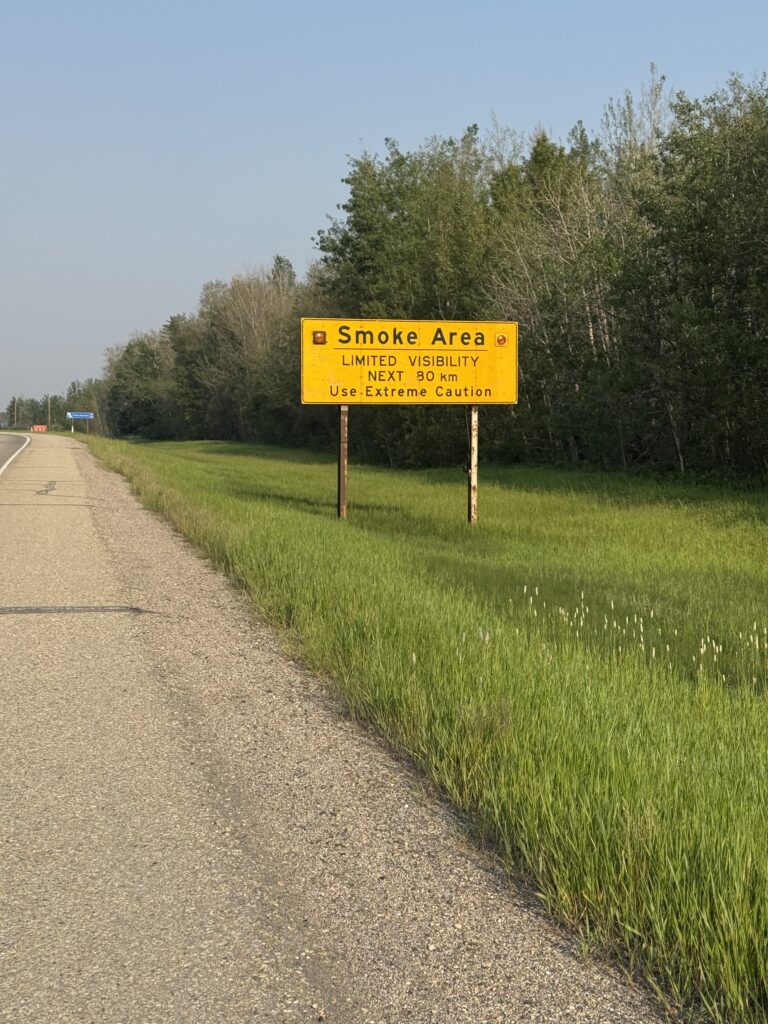
The last stretch through Mississippi involved daily afternoon thunderstorms I tried to finish ahead of or wait out or ride through. This at least kept the heat to more manageable levels. On the final long day I had planned, the afternoon thunderstorms never stopped so I got a hotel in Tuscaloosa rather than trying to ride through the rain all night long, which would have been dangerous and miserable way to finish the ride.
Instead, I got up the next morning to beautiful weather and promptly broke my rear shifter cable just outside of Tuscaloosa in a small town called Coaling that my friends who have ridden to/from Tuscaloosa with me many times will recognize as the little town with the water park and good water faucet. After about an hour of tinkering I was able to get my replacement cable (which I still had in my frame bag from the 2022 Tour Divide) installed to make it all the way home and not have to muscle up all the hills in my hardest gear.
I climbed the final hill to our house with my wife and son videoing and our good British friend Jane visiting us from Nicaragua cheering me on.
Daily TLDR
Click the image to jump to specific day and read all the details. I picked the best picture from each day.
Day 1: Edmonton to East Jasper
229.6mi, 7188 ft climbing, 16h 31m
Flight from Birmingham to Edmonton immediately followed by 230mi ride from Edmonton to Jasper with no sleep
Day 2: East Jasper to Golden, Canada
228.8mi, 10935 ft climbing, 17h 38m
Most amazing 150 mile stretch of Icefields Parkway you can imagine. Even in the dark the views in Jasper National Park were amazing.
Day 3: Golden to New Denver, Canada
176.94mi, 9934ft climbing, 13h 23m
Lots of traffic and construction on Trans Canada Hwy 1 leading to broken spoke, fixed in Revelstroke, lots of thunderstorms before and after ferries.
Day 4: New Denver, Canada to Couer d’Alene, USA
219.72 mi, 9826ft climbing, 16h 35m
Made it back home to the USA after one more fantastic day in the Nelson lakes area.
Day 1 – leaving on a jet plane and a bicycle
229.6mi, 7188ft climbing, 16h 31m – https://www.strava.com/activities/14761153928
1736 cars, 8.16 cars/mi, 1.9 cars/min, 62mph (avg passing), 106mph (max) – https://www.mybiketraffic.com/rides/view/391048
Timelapse videos (1/2 second frame interval = 15x realtime)
Night time (Edmonton) – https://youtu.be/kMYbpGcZRc8
Day time (Trans Canada Hwy 16) – https://youtu.be/APApfL1WsPc
Late afternoon (Hinton – East Jasper Hostel) – https://youtu.be/mkpmTKvMzfM
(These timelapse videos are 15x actual speed. This means if I slow down to 2mph at a stoplight or stopsign, it will look in the video as if I’m traveling through at 30mph! Despite what it may look like occasionally, I always slowed down to make 100% sure nobody is coming before rolling through and waited until it was clear before proceeding if there was traffic.)
My flight from Birmingham wasn’t even until 3pm, but after a quick layover in Denver, I was on the ground in Edmonton before sunset at 10:15pm and riding my bike by 11:30pm. Bike assembly went well with one exception, I had taken a picture of the seatpost so I could return it to exact same position, but the reference position was a strap that had come off. And in the dark, I couldn’t see a wear line either. So it took about 15 minutes of starting/stopping until I finally got the seat height close enough to get started. About 15 minutes later, I pulled over into a parking lot to make one final adjustment and after that never thought about the seat height again (so it must have been pretty close).
By this point it was after midnight about 20 miles south of Edmonton proper as the airport is quite a ways out of town. I continued on my northward trek into town and actually ran into several people riding or walking next to their bikes at 1 in the morning. These were definitely “bikes for transportation” people so I instantly connected with them. I love riding a bike both for fun and for transportation. This adventure really stretched both parts. Edmonton itself is pretty flat, but there was tons of construction making it tricky to ride. The one exception is the major river that cuts through downtown. It was several switchbacks to get down and then a circular climbing bike path bridge across the river before a steeper climb to get back up out of the river valley. I had started out with my rain pants on and just short sleeves, but the temp had dropped down into the mid 40s by this point so I stopped and pulled out my fingerless gloves with pullover mittens that I had bought during the early part of the Tour Divide in Seeley Lake, Montana in 2022. Those gloves have been the absolute best for both the “in between” weather as well as bitter cold weather.
I had tried to scope out 24 hour gas stations ahead of time using Google Maps and there weren’t very many. I had one “hop” that was going to end up being close to 75 miles long before the next 24 hour gas station so I definitely needed to stop and fill up at the one marked on my map on the west side of Edmonton. But it looked closed! Thankfully, it was open, but the way it worked is the gas station clerk does your shopping for you. You just tell them what you want, they go get it, and bring it back, and then you pay through the window. I got two big gatorades and hoped it would be enough to make it the distance (it was … especially given that the temp bottomed out at 38 degF that first night).
Once you get out of Edmonton proper, it gets rural very quickly. The roads are long and perfectly straight even though the terrain has already started to get quite a bit hillier by the time you get an hour or two west of town. Instead of random spread out houses, you ended up with random spread out neighborhoods where there would be zero or sometimes one house along a 5 mile stretch of road and at the next intersection there would be a small village of maybe 50 houses!
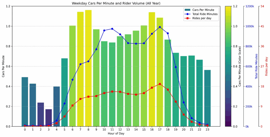
As far as traffic goes, you can see in the image above my journey up from the airport. Each green circle represents a car passing at normal speeds. Each teal colored circle represents a vehicle (most likely a truck) going more than 50mph faster than my current speed. You can see how relatively deserted my route northwest of Edmonton was from 1am – 3am, but how dramatically busy Trans Canada Highway 16 was starting from 4:50AM when I first joined it.
Thankfully, there was a huge shoulder. Here is a video of a truck passing and circled in red on the map above at the spot where I first joined the Canadian version of an interstate.
Sorry that the speeds are in metric, but I always forget to change it back to imperial whenever the Garmin radar decides to completely reset its settings.
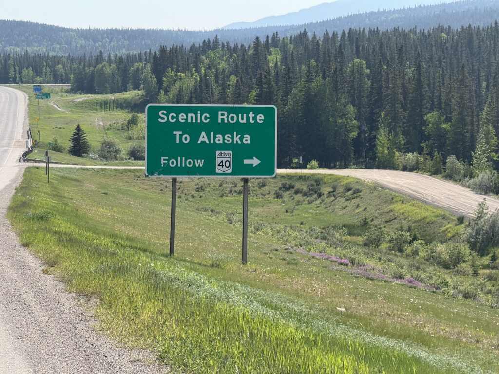
I got so sunburned on that first day because I made a miscalculation about the strength of the sun since I was so far north. But the sunrise started from about 3:30am and didn’t set until well after 10pm. I figured the angle of the sun would be lower, but it was actually higher in the sky and lasted longer. By the time I made it to Hinton, the last big town before Jasper national park I was pretty tired, but I got food for dinner from the McDonalds next to the sporting goods store where I could also buy some bear spray and sunscreen. An hour or so later after passing a sign directing me on a scenic route towards Alaska (no thanks, maybe another year), I made it to the hostel, got checked in, showered, and hit the bed for an early departure to make it through all the mountains the next day before dark.
Day 2 – Forest fires and the Icefields Parkway
228.8mi, 10935 ft climbing, 17h 38m – https://www.strava.com/activities/14772605640
1532 cars, 6.7 cars/mi, 1.4 cars/min, 51.6 mph (avg passing), 83.1mph (max) – https://www.mybiketraffic.com/rides/view/392204
Timelapse videos (1/2 second frame interval = 15x realtime)
Night time (Jasper national park to Jasper) – https://youtu.be/xdG2NGrXzlY
Day time (Jasper fire damage, alpenglow mountains, and Icefields Parkway) – https://youtu.be/yl619b1Sm_Q
Early morning 1:45AM departure beautiful mountain shadows in full moon sky followed by amazing mountains and scenery and wildlife all day along the Icefields parkway before crossing over into British Columbia and spending the night at a hostel in Golden.
The very nice lady running the East Jasper Hostel tried to convince me to take my time and sleep in, but I knew that I wanted to finish the long 225+ mile ride to Golden at a reasonable hour. I was in bed before 8pm, so I was still able to get a nice 5 hours of sleep and still out the door before 2am the next morning.
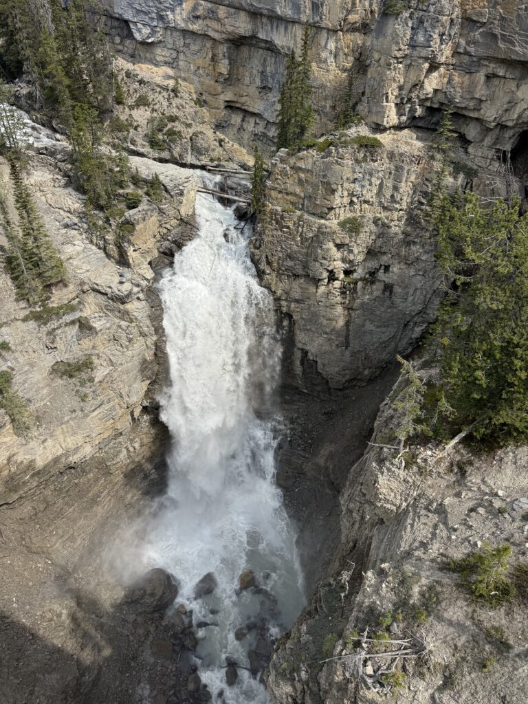
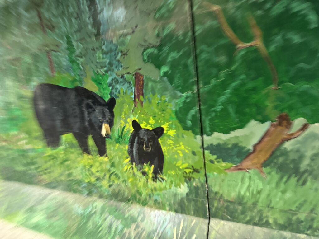
I was worried about bears on this stretch, even just leaving the hostel, because they had been visiting the hostel almost daily for the past week. But I didn’t see any as I left and made my way on to the highway through the national park. I was concerned that I would miss everything in the dark, but with a full moon (even one that was so low in the sky) and being far enough north that the nightime sky was not nearly as dark as normal, I could see all the mountains and lakes. I probably missed a bunch of distant waterfalls cascading off the mountains, but there was still so much to see.
The highway was quieter, but still relatively busy for the time I was riding it 2am – 4am. Most of the traffic was trucks with occasional cars. I have the exact data, but my ballpark estimate was about 1 vehicle every few minutes. This gave me time to turn my light to its lowest setting between cars and let my eyes adjust to see the amazing Milky Way as well as all the scenery around me.
Eventually, I made my way into the outskirts of Jasper and into the one 24 hour gas station I had marked on my map. It was almost 5am by this point, and I was able to go in and do my own shopping. I thought that there was potential for no resupply at all for the 150 mile stretch of the Icefields Parkway between Jasper and Lake Louise, so I stocked up with a lot of food and water. As it turns out, my scouting was correct that there were no gas stations, but there were three touristy stores/hotels that each had typical convenience store selection of food and drinks.
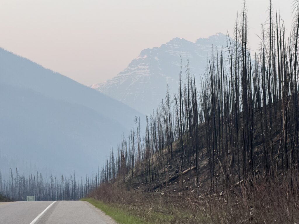
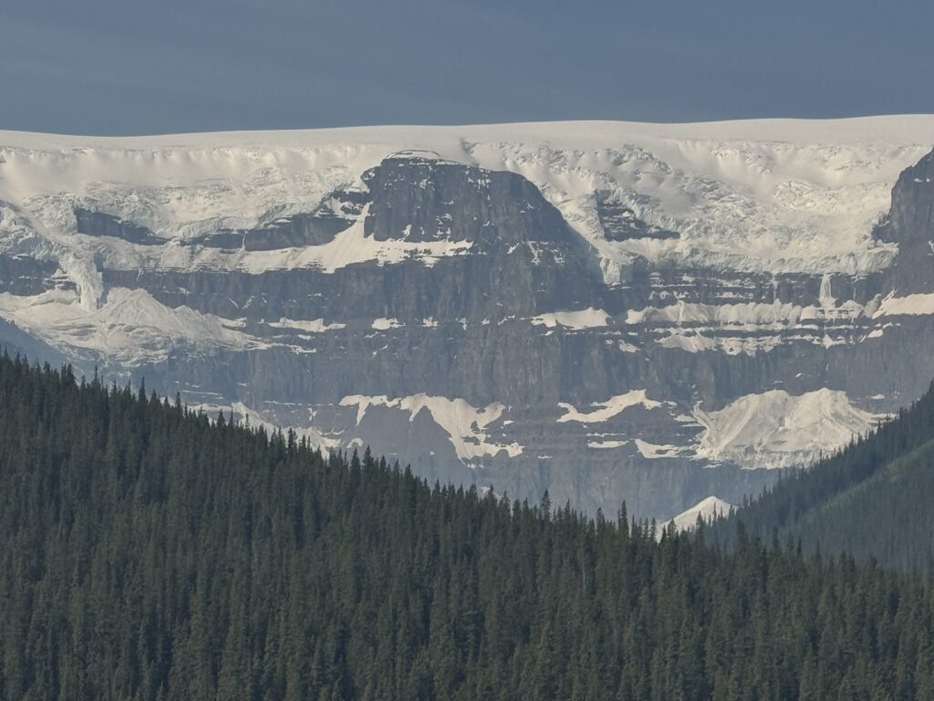
Forest Fire Damage
In July 2024, there was a massive forest fire that hit both the town of Jasper as well as huge chunk of the national park. By the time I left the gas station, it was light enough for me to start to see the remains of the fire a year later. The thing that struck the most is how many HOURS it took for me to completely ride through all of it. Every time I thought I was making it to the end, I would see a new wave of burnt pine trees on one or both sides of the road. As I left Jasper, I saw a sign confirming that there would be no gas for the next 200km.
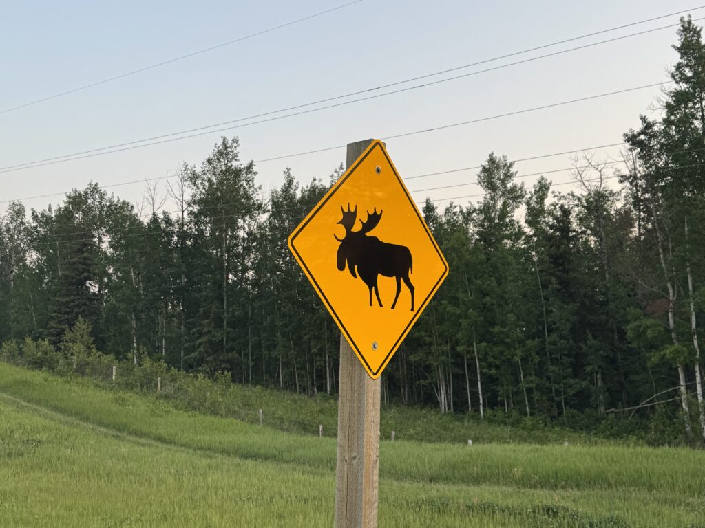
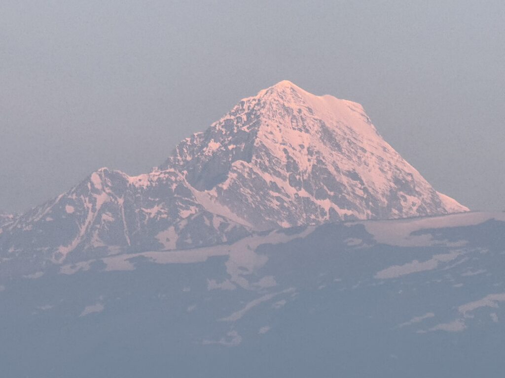
During this time, it kept getting brighter with the alpenglow lighting up the huge snow covered mountains. It was past sunrise, but with so many large mountains blocking the sun the alpenglow lasted well past sunrise. And it kept getting more and more spectacular. The temperature had stayed relatively mild during the night, but it dropped during this time, so that there were several descents where I was quite chilly. Towards the top of one of those descents, I saw a huge elk with massive rack of antlers grazing around a garbage can at a scenic rest area. I made a quick u-turn and snapped a couple pics before continuing on the descent.
Icefields Parkway
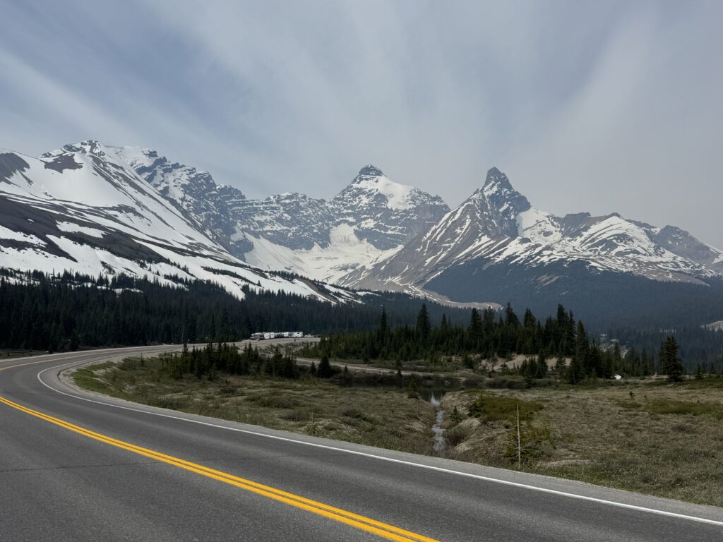
My favorite part of the entire trip was the next several hours of riding the Icefields Parkway. This stretch of highway was about 150 miles long starting out very quiet but eventually getting busy with tourists. Thankfully, the shoulder was wide and clean for most of the parkway so I never felt in danger from any of the cars or busses. No more commercial trucks as they all continued on the main Trans Canada highway instead of the parkway.
The scenery was spectacular. I was in awe from the alpenglow in the morning (see video above) until late afternoon when I finally made the turn onto Trans Canada Highway 1 to head to Golden. What strikes me the most about the Canadian Rockies is that they are more accessible and manageable than the Colorado Rockies. The mountains are sharp, jagged, snow covered with glaciers, waterfalls everywhere, but they also aren’t so big that it takes an entire day to ride by a single mountain (i.e., Colorado). Instead, it’s peak after peak appearing in the distance first, then 20 miles later you are riding right by it while other peaks have appeared. So many different peaks, each with their own unique glaciers, waterfall, shadows, and shape. The picture at the very top of this long post is from this section. I’ve linked to the youtube video below but it’s so good I’m embedding it here, too, to make sure anyone reading this far has seen it.
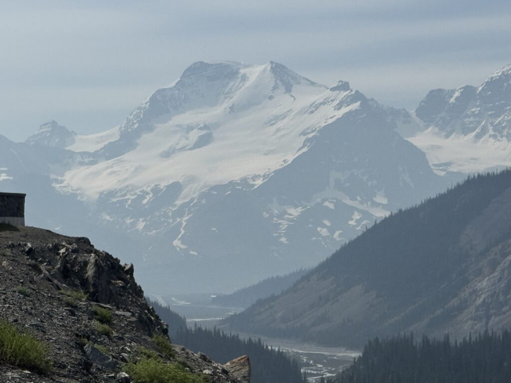
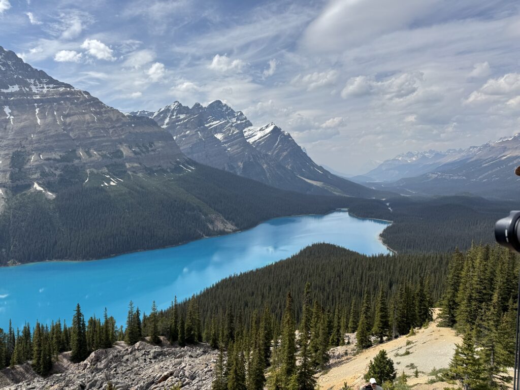
One of the highlights of this stretch was climbing up to 7000′ to see the Peyto Lake overlook. It’s a bright blue lake very similar to Lake Louise nestled behind the Columbia Icefields and glaciers. It was the was a big 2000+ foot climb after gradually climbing all day and the highest elevation for me in Canada. I had no idea what I was going to find, but there were throngs of tourists hiking to get to the overlook. It was indeed amazing and worth it! See youtube video below.
After this climb and overlook was a very long descent down towards Lake Louise. I made it to my turn onto Trans Canada Highway 1 with enough food/water to make it either to the end (which is what happened) or to a convenient gas station on Highway 1. I never found a gas station, so I was running on “fumes” so to speak by the time I made it to my hostel in Golden, Canada.
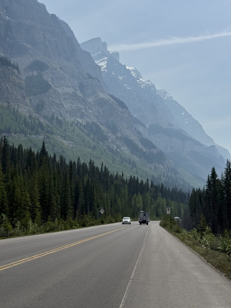
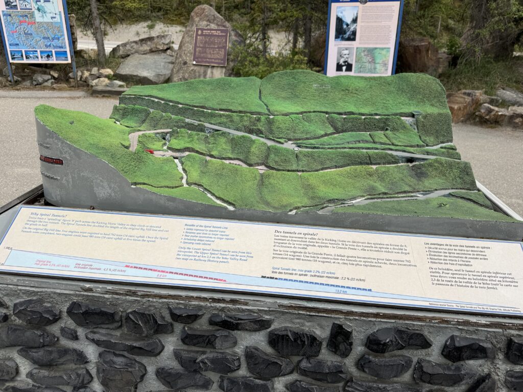
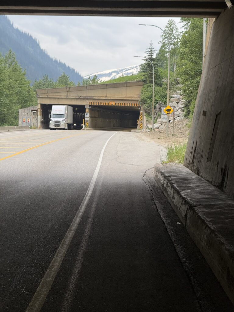
This is the national highway of Canada and was extremely busy. It was also quite hilly. I hit some very high speeds (45mph on a heavily loaded gravel bike) which may have contributed to breaking a spoke the next day. Amazingly, there were a lot of railroad tracks climbing the mountain I was descending. There was an exhibit with a 3d model of the 360 degree loop climbing tunnels to help the trains make the climb (and descent) at more manageable gradients. I was on the descent long enough to see several trains!
Amazing Golden hostel
The weather was turning, and it started to rain briefly a couple times. Then it really started to pick up right as I made it into Golden. Thankfully, it was only a few final minutes before I made it to the hostel.
The hostel was jam packed with people (no vacancy), but I had a single room reservation I had made a few weeks ago. Ann, the very kind manager, took me around and showed me everything and we figured out what to do with my bike. I had a lock with me, but he said I could keep it inside. The problem was that I would be leaving around 4:30AM the next morning. He said, “no problem”, and set his alarm to get up at that time to get the bike out of the storage closet.
Sure enough, bright and early, after I had already packed everything up from my room, I came down the stairs and Ann was there already with my bike! Still super thankful for this, Ann! But before all that, the night before, there were probably 20-30 people in the common area including the kitchen making dinner (it was 10pm). I had also seen a bunch of people I am sure were staying at the hostel at the grocery store which I had walked to in order to resupply for next day and pick up something I could microwave for dinner.
If you are looking for a good, cheap, and social place to stay, check out the Dreamcatcher Hostel in Golden, Canada.
Day 3 – broken spoke, ferries, and thunderstorms
176.94mi, 9934ft climbing, 13h 23m –
https://www.strava.com/activities/14782989096
728 cars, 4.2 cars/mi, 0.9 cars/min, 52.4 mph (avg passing), 89.7mph (max) – https://www.mybiketraffic.com/rides/view/393206
Timelapse videos (1/2 second frame interval = 15x realtime)
Day time (construction and traffic on Trans Canada 1 plus snowsheds) – https://youtu.be/hnt75fCH5Kk
Leaving the hostel by 4:45am, the sun was already up and traffic on Trans Canada Highway 1 was pretty busy. Golden is down in a river valley, so the first several miles of my ride was a long slow climb out of the valley. This started out as a four lane, but eventually made it to a section where they were working on converting the two lane into a four lane. This was a messy, tricky construction zone with lots of trucks.
Thankfully, the trucks were all crawling up the long climb I had done and blocking traffic behind them. So I could time the tricky sections with long gaps before the next “herd” of cars and trucks. Eventually I made it through the construction zone to an older section of two lane highway that had a decent (but not great) shoulder. It was through here that I noticed my wheel had gotten very wobbly, and it turns out I had broken a spoke. I did a quick search for bike shops and the closest was in Revelstroke about 45 miles on my route. As it turns out, I still had about 20 miles of climbing before 50 MILES of descending from 5000′ down to about 1000′ in the Columbia River gorge.
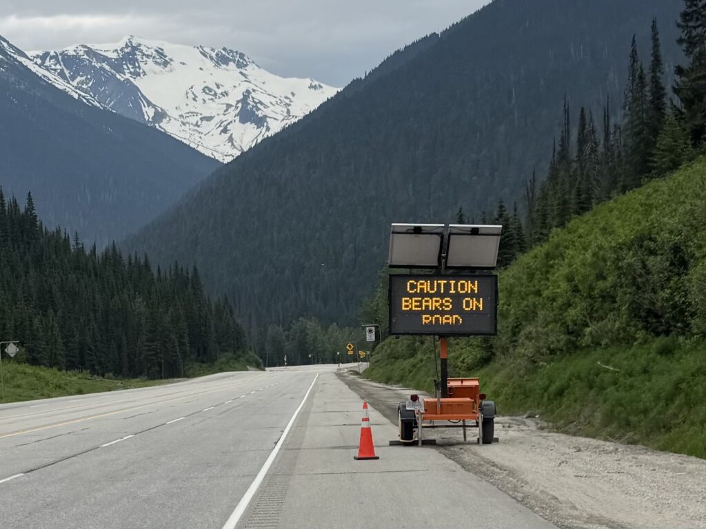
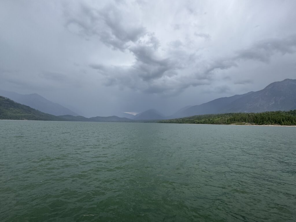
The length of the descent meant that it was pretty gradual, which I was thankful for, not wanting to have to use my brakes and also not wanting to go too fast with a broken rear spoke and wobbly wheel. There were storms in the area, but it stayed dry until a few miles into the descent after the flashing warning sign “Warning: bears on road”. I pulled over making sure to have my bear spray handy as I quickly pulled out my rain jacket and rain pants right as one of the storms started to pour.
About 10 miles later, I see a van with a bike trailer setting up a tent with supplies. I asked if they had a spoke wrench so I could try to adjust the wheel to remove some of the wobble, but that was with the mechanics in the follow vehicle. Follow vehicle? Sure enough, about 10 minutes after I left and continued on the descent, here comes a group of about 20 cyclists in the pouring down rain climbing slowly up the other way … on a Thursday. They all waved and even cheered I think? It continued to rain for another hour or so, but eventually stopped, got sunny and hot … STILL ON THE DESCENT.
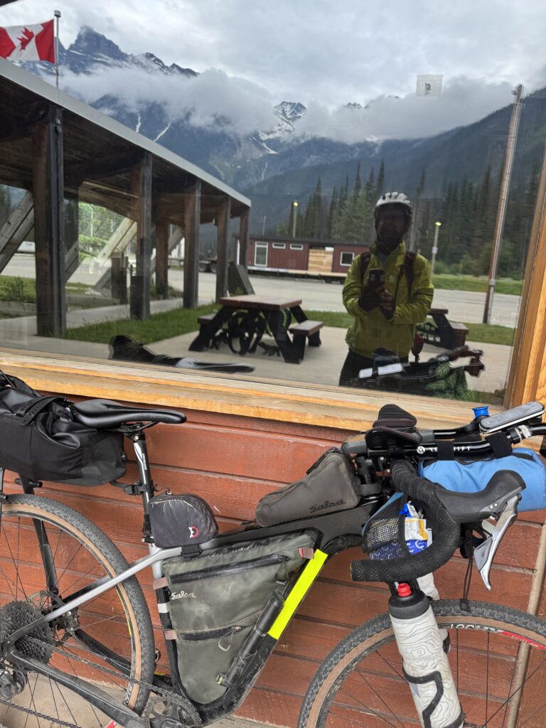
It was dry and sunny in Revelstroke and had not even rained as I made my way straight to the bike shop, where a mechanic from New Zealand investigated and told me he could get me all fixed up. He pointed me towards a cafe a couple blocks away and before I had even finished my food, he called to tell me the wheel was ready. It was great chatting with him about New Zealand (Kristine and I vacationed there in 2018) and about my current adventure to Alabama.
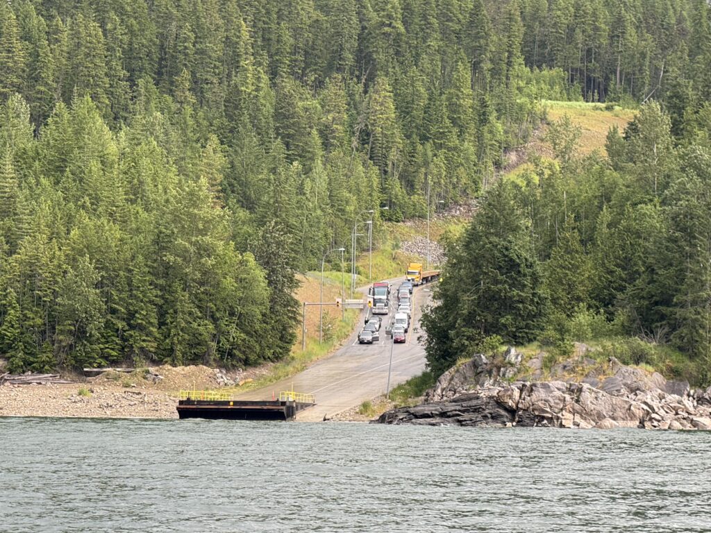
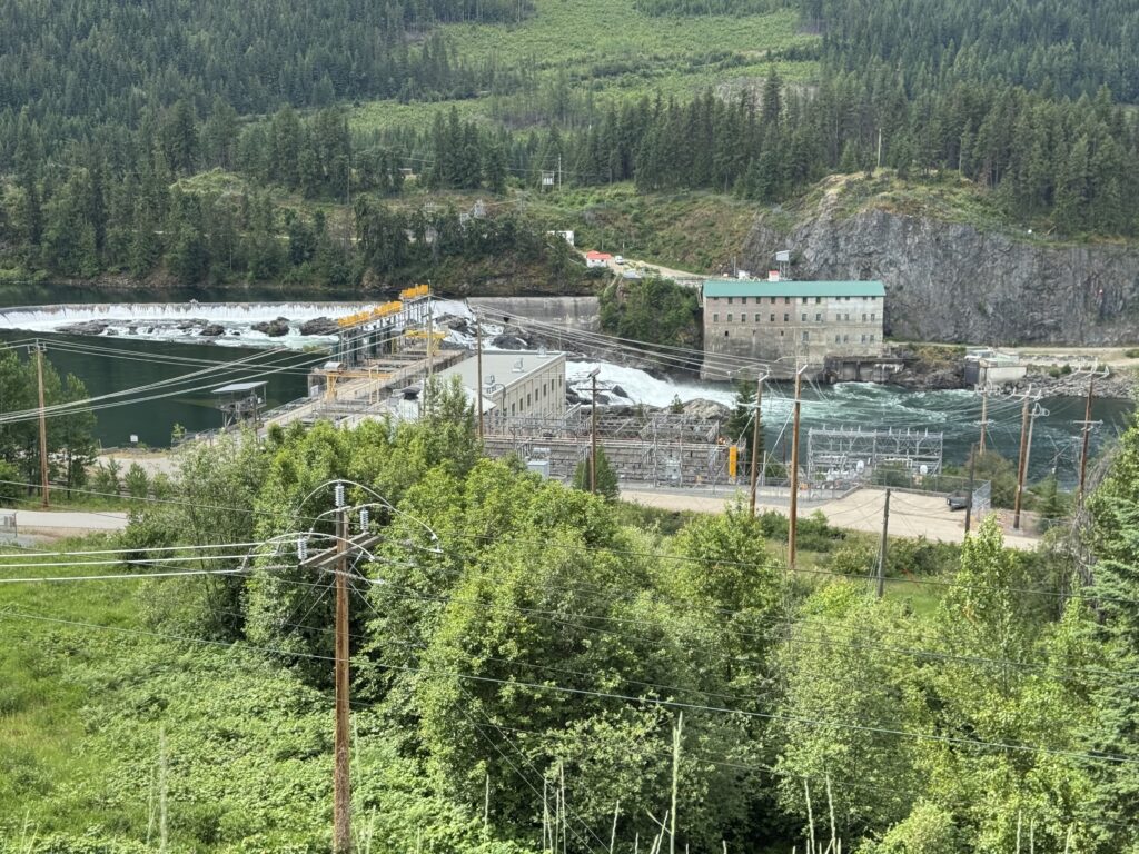
Water ferry and more storms
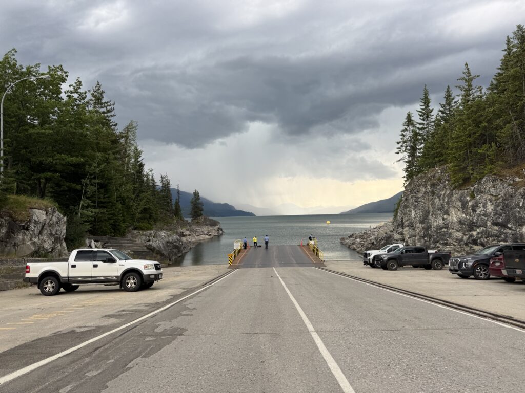
As I left Revelstroke, I made my way out of town and across a huge span of the Columbia River on a one-lane bridge! Unbelievable. It stayed hot and dry as I climbed well over 1000 feet out of the river valley to the highway heading down to the ferry. The gorge itself was too steep for them to build a road, so they built the road quite high up on the side of the mountain. Roughly I climbed about half of the 30 mile route parallel to the river and then descended the other half. I had exactly 3 hours to get there and made it with about 20 minutes to spare (given all the climbing).
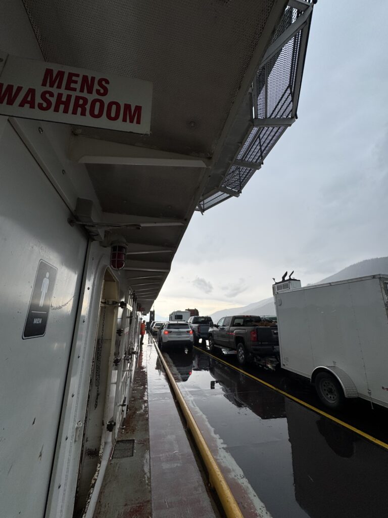
I chatted with a couple in a jeep in front of me who were going to be camping out but uncertain because of the storms. While we were chatting, one of the attendants came up and told me I could wait down at the dock instead of in line with the cars. There, all the deckhands were waiting for the incoming ferry, which came in shortly just ahead of a wall of rain and lightning. I had put on all my rain gear while I was waiting, and then signaled I could go ahead up onto the ferry before all the cars.
Because the ferry was only about 20 minutes long, there was only an indoor bathroom and no other indoor area at all for passengers. It didn’t matter, though, because the rain stopped about halfway across the river, and I wanted to get pictures and videos.
Landing on the other side was hilarious because the dock is on a 10% gradient hill. People in cars were cheering for me as I rode slowly past them waiting to board. What I didn’t realize is that the climb would go on for MILES not just past the dock. It ended up being a 3 mile 1,000 foot climb from the river up to presumably the best place they could build a road along the far side of the river as it was mostly just gently rolling after that.
Land ferry and more storms
Speaking of building a road, there was a big caution sign that said “Road Construction Expect 30 Minute Delays”. There was not a single car in sight once I made it out of the ferry terminal. I’m thinking “what could cause a 30 minute delay”. Well, as it turns out in about an hour I would finally make it to the construction zone where the road was being repaved.
There was a 10km stretch with only one lane open, and I was not allowed to ride through it. I found this out from the nice friendly young worker holding the Stop sign. We chatted for a bit and I found out he and the rest of the crew except for the person I would end up riding with were all from Vancouver Island (Victoria) and working the summer on construction crews in British Columbia.
When the lead car from traffic coming the other way (it was maybe 5 cars) turned around, the driver got out and she helped me get my bike into the back of hte pick-up truck. We had a great time chatting for about 15 minutes (max speed was maybe 30mph over the 10km stretch). She was the only one not from the island, and she was from much farther north in British Columbia. She was helping to pay for college with the construction work.
Just as we started to drive, it started to rain again, but by the time we made it to the dropoff point on the other side, it had stopped! So she saved me from riding through about 10km of rain. I still had about 30 miles to get to the next town and then another 30 miles from there to get to the Valhalla Inn, where I had already made a reservation for the night and called to confirm it would be OK if I got there late.
Wet soggy bears
I made it to the gas station just as a big thunderstorm rolled through. So I got a couple cups of hot coffee, lots of food and drink, and waited it out for a bit. Eventually, once the lightning had quieted down and it looked like a bit of a break, I put my rain gear on and took off in the rain … climbing, of course, always climbing.
Leaving the town of Nakusp which was back down closer to river level, I climbed again for another 10 miles but only gaining 1000 feet so not nearly as steep. The best part was coming across the top and then a few miles into the gradual descent, I came across FOUR bears. It was a mama bear and three cubs. The cub that saw me first took off away from the road. The mama and other two just looked up from where they were rooting in the grass and stared at me. I was very close to them and had not noticed them because it was raining pretty hard. Probably no more than 25 feet away from me, I could see how soaked they were from all the rain I had been riding in.
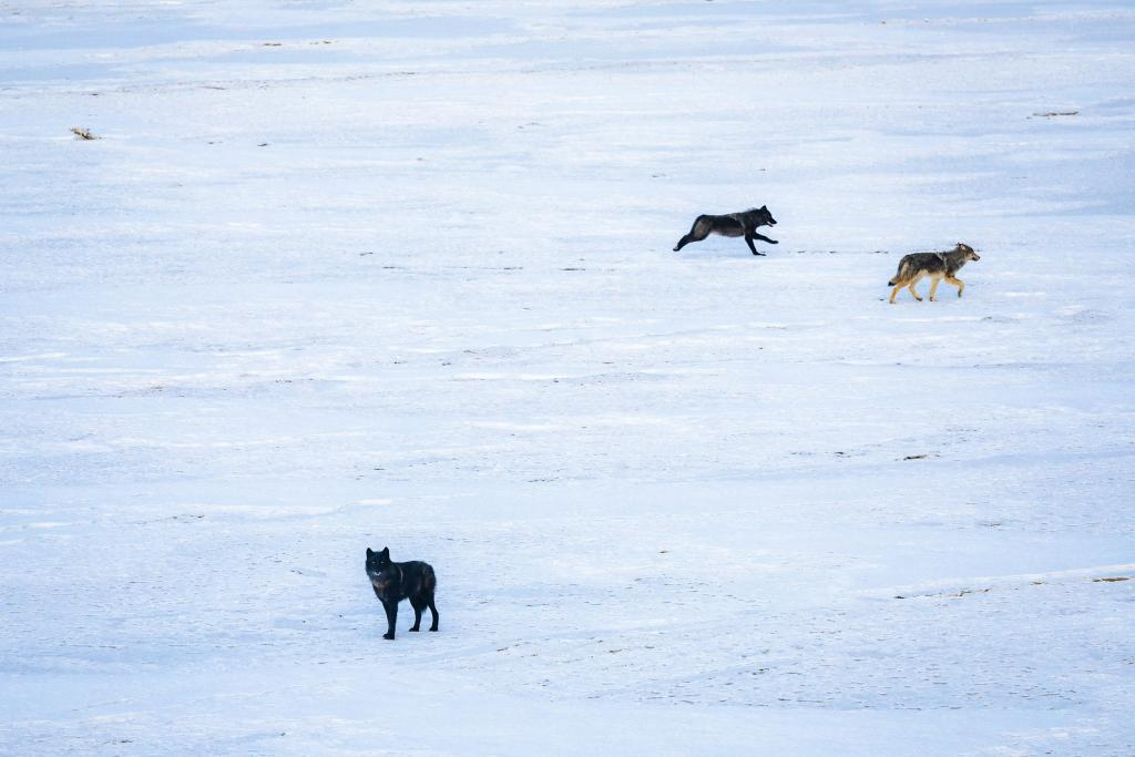
Speaking of wildlife, early in the morning at the start of the day, I might have seen a wolf wander across the road in front of me. It wasn’t a domesticated dog, but it looked a little on the small side for a wolf. Conversely, it seemed far too large for a wild coyote. So I’m not 100% sure, but it may have been a gray wolf as it very much had the same colors as the gray and tan wolf in the photo below.
I just kept on pedaling/coasting (it was downhill) and the last few miles into town were a much steeper descent all the way down to river level where I made it to the hotel before 8pm (much earlier than anticipated).
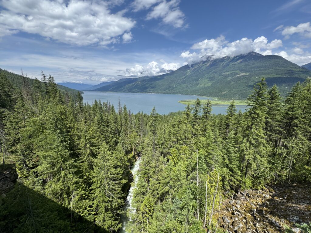
The workers there were very nice and said they kept the restaurant open for me, where I enjoyed excellent fish and chips which I ordered before heading back to my room for a quick shower and was ready when I made it back down to the restaurant. That place was so awesome. The climb that I did put me into a different river valley, so I was no longer in the Columbia River valley, but instead I was on the Slocan Lake in the Slocan River valley. If you are looking for a place to stay there (or even eat dinner), check out the Valhalla Inn in New Denver, British Columbia.
I am just now noticing that I spent Day 2 in Golden, Canada and then Day 3 in New Denver, Canada … you’d think I was in Colorado!

Day 4 – bike paths, traffic, and a rural crossing back into the USA
219.72 mi, 9826ft climbing, 16h 35m – https://www.strava.com/activities/14793462692
775 cars, 3.5 cars/mi, 0.8 cars/min, 46.0 mph (avg passing), 105.7mph (max) – https://www.mybiketraffic.com/rides/view/394214
Timelapse videos (1/2 second frame interval = 15x realtime)
Daytime (Canada) – https://youtu.be/dgLDKr78C6k
Late afternoon (USA) – https://youtu.be/T9iedF8GOE8
A slightly wet, foggy morning gave way to beautiful sunny skies. I stumbled upon a bike path alongside the road I was riding and found a rogue cut-in to get up to it. It was nice to be away from cars and alongside the river, but the gravel was deep and slow … not great when you’ve got 3,000+ miles to go!
So I hopped back over onto the road at the next crossing and road it until I saw the bike path again where it had switched to being a paved bike path. I was able to take this a good chunk of the way to Nelson, but not all the way as it ended alongside Trans Canada Hwy 3 where it got narrow at all the hydroelectric dams. This stretch had quite a bit more traffic and was a sketchy section to ride, but it still had a rideable shoulder (in most places).
It was through here that I noticed I had lost my right time trial bars armrest in all the rain from the day before. So when I finally made it to Nelson and stumbled across a craft/garden store, I went inside to see if there was something I could use for padding. The helpful store clerk pointed me at neon colored washi tape I could wrap around thick enough to form a padded rest. It was perfect!
Nelson, itself, is built on the side of a pretty big hill. So mistakes in navigation cost me a bit of climbing and descending as I was trying to find the grocery store. Eventually, I found it, and it was worth it. It was like a mini-mall with one section devoted to groceries but then all kinds of other sections for different kinds of stuff (home goods, etc…). In any case, I ended up getting an excellent sandwich and all the stuff I’d need to make it back into the USA with the border only about 45 miles away south of Nelson.
Climbing through the rain
By the time I left the store, it had started to rain pretty hard. I put on my rain pants but not my rain jacket because it was quite warm and I knew I would be climbing for a while. So I spent the next hour or so climbing up through the rain south towards the border. Eventually I made it to the last Canadian town I would see on this trip, Salmo “home of the stone murals”. I saw one and snapped a pic before continuing on the Hwy 3 with the first sign for the US border.
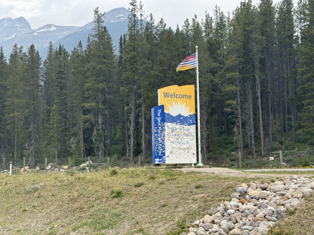
Hwy 3 itself stays in Canada, but after a few miles I came to the intersection with an arrow pointing to the right saying US border. I did not know that the US border was at the top of a somewhat steep and long climb. During the 45 minutes it took me to do the climb, I was not passed by a single car. So I knew that the border would not be busy. Sure enough, I arrived at the top with nobody trying to cross the border in either direction. I followed the signs and rode right up to the lone US border patrol guard.
I gave him my passport and thought I had explained everything pretty clearly. But when he said “when is your return flight?” I started over and explained again. Pretty soon into that explanation, he got it, and said something of the lines of “oh wow, you’ve got a long ways to go”. He told me that there was a hotel in Metaline Falls, but I told him I wanted to press on to Newport, Washington on the border of Idaho.
After he handed me my passport back and wished me good luck, I rode on and quickly saw an informational sign about grizzly bears and wound my way back down the mountain to Metaline Falls.
Birthdays and alcohol
I needed to resupply at the Metaline Falls gas station where I heard somebody telling the clerk that it was his birthday. I got my stuff and when he came outside to his motorcycle, I mentioned that it was my brother’s birthday, too (I had already texted him a happy birthday from in Canada earlier in the day).
This got the man to talking, but mid-sentence he said I’ve got to go and he hopped on his motorcycle and took off saying he was going to chase down his ex-wife who had told him she was going to meet him and give him a birthday present.
While I was eating my chips and drinking my coke, I couldn’t help but overhear two ladies talking about how much better their men were when they got out of jail after not drinking for a while. Or at least that’s the gist of the conversation. This was at a gas station that had more than half the store devoted to wine and beer. And this being next to both a liquor store and a bar.
Now it could have been the weirdest of coincidences, but my first impression of the town was that some of the people of Metaline Falls may have a drinking problem.
No room at the inn
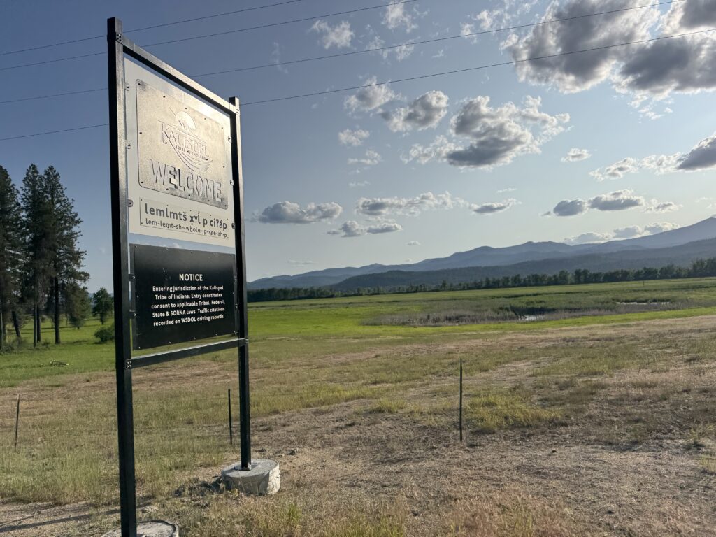
My route south to Newport took me through a large Native American reservation – the Kalispell Tribe. It was also still part of a national forest (I think) or the national forest came right up to the road I was riding as I stopped at a vault toilet with an information sign that felt like it was national forest.
In any case, when I made it to the next gas station, it was quite busy and the clerk checking me out said there was a national gathering happening the next day at the reservation. I had not booked any places to stay yet and when I checked google maps lodging, there was no availability at all in Newport. All the hotels were booked!
I resigned myself to an extra 50 miles of riding down to Coure d’Alene, but was somewhat consoled by the fact I could book a nice hotel there, do laundry for the first time, and sleep in a bit. Also that town is the easiest name to pronounce once you have heard, but I still have to look it up everytime to see how it’s spelled. I took my time and had a nice dinner at McDonald’s in Newport right after sunset at 9pm. Then I settled in and rode nearly four more hours to get to Coure d’Alene by 1am. There was a surprising amount of traffic out late on Friday night so it stayed pretty busy the whole way there. It was not a great ride.
But what made it quite a bit better, though, was my friend Stephen Peters texting me to see how I was doing. We ended up texting (voice text) back and forth for a while with him giving me updates of life back home and me telling him about the craziness of my adventure so far.
A Canadian-American Data Adventure 8 Jun 8:32 AM (4 months ago)
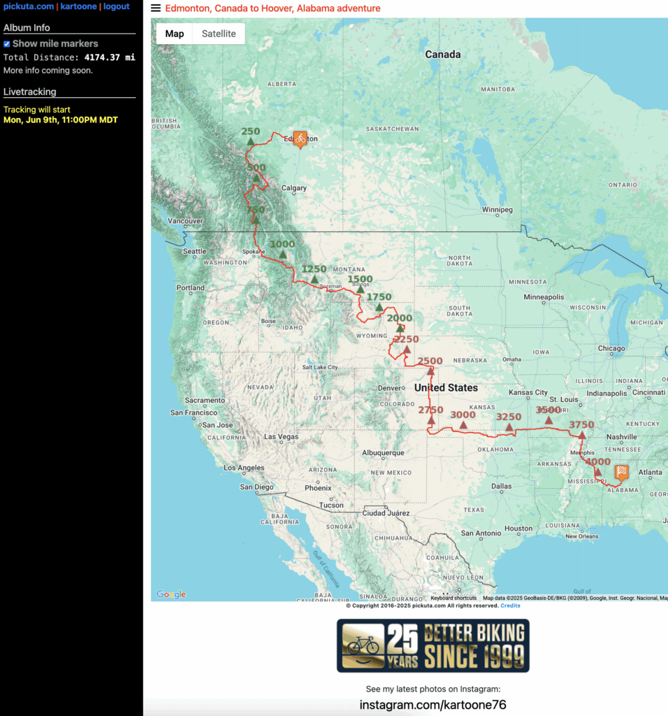
Tomorrow is the big day! The featured post image above is a map of my 4,173 mile route from Edmonton, Canada to Hoover, Alabama riding in two Canadian provinces, and 14 American states.
The goal is 1) adventure and 2) data … so I am calling this my Canadian-American Data Adventure. I am raising funds for https://peopleforbikes.org as they are a great organization helping improve the cycling infrastructure here in the USA.
Lateral Passing Data
I have been collecting vehicle data on https://mybiketraffic.com for many years now. I have traffic volume and speed data from rides from all over the world (98 countries). But I do not have any lateral passing data, which is a new feature I plan to add later this summer. Check out all my existing data here:
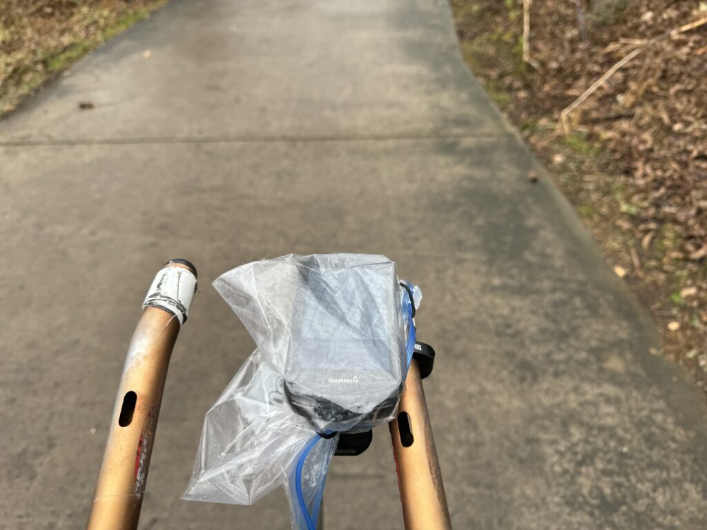
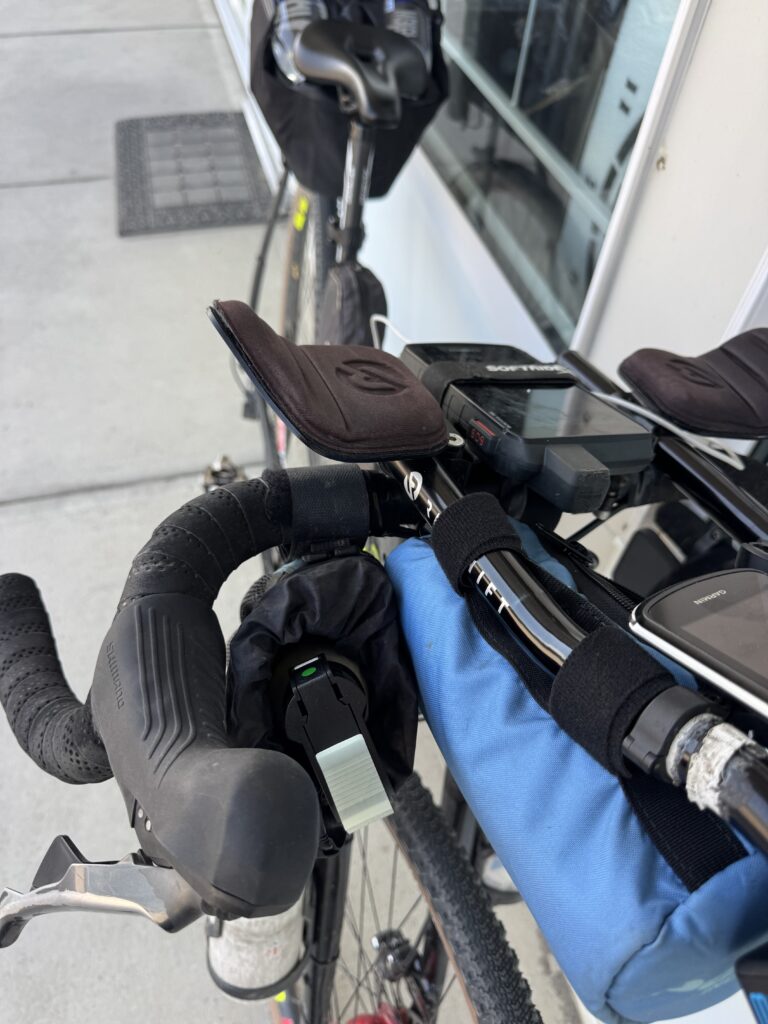
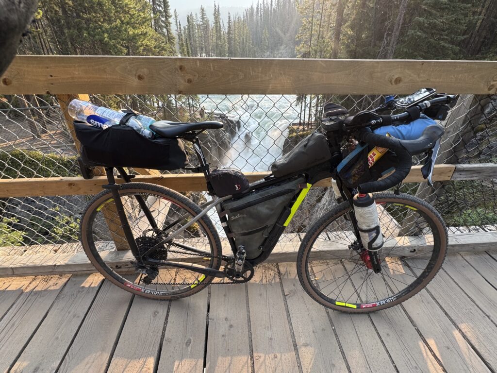
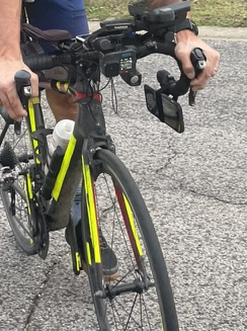
The primary data I will be collecting is lateral passing data from vehicles as they pass me on the ride. I will post a detailed analysis of all the data from this one ride along with an explanation of my setup. But as a TLDR, I wrote an iOS app that connects directly to the Garmin Varia radar. When a car gets within a few meters of passing, the iOS app starts snapping images and LiDAR depth maps at 4 frames per second. This is usually good enough to get three frames and depth maps of a car as it passes. A picture of my setup is shown below.

Live Tracking
I am so excited about this trip. I will be posting about a million pictures every day (slight exaggeration) to this website where you can not only see the pictures but see my progress. A small stopwatch clock will appear every time my satellite tracker uploads my location (approximately once every 10 minutes). You can click “pickuta.com” in the top left to see a list of my other adventures to see pictures and what the tracking looks like.
2024 statistics and maps 11 Jan 9:12 AM (9 months ago)
I used to call this post my “season statistics” or “season summary” in reference to the cycling racing season. I would calculate all my statistics from December 1 of the prior year to November 30th of the current year. This was based on the Eddie Borysewicz cycling training book called “Bicycle Road Racing”, from which I learned how to train and race road bikes in the early 90s.
Several years ago when I stopped focusing on regular bike racing and switched over to ultra distance races and adventures, I started doing these statistics based on the calendar year. My current focus is riding in all the counties in all the states (starting in the southeast and east of the Mississippi River). So I will start with an update on that front since I added a new state to the tally this year – Arkansas! See all the maps of all the rides in all the states I’ve completed below.
USA State/county update (RIDES ONLY)
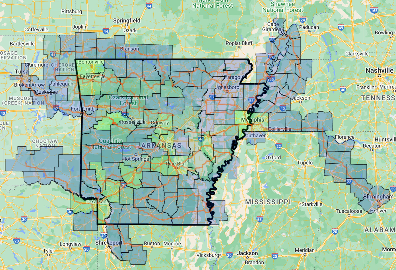
2024 – 186 counties in 10 states with one new state completed: Arkansas
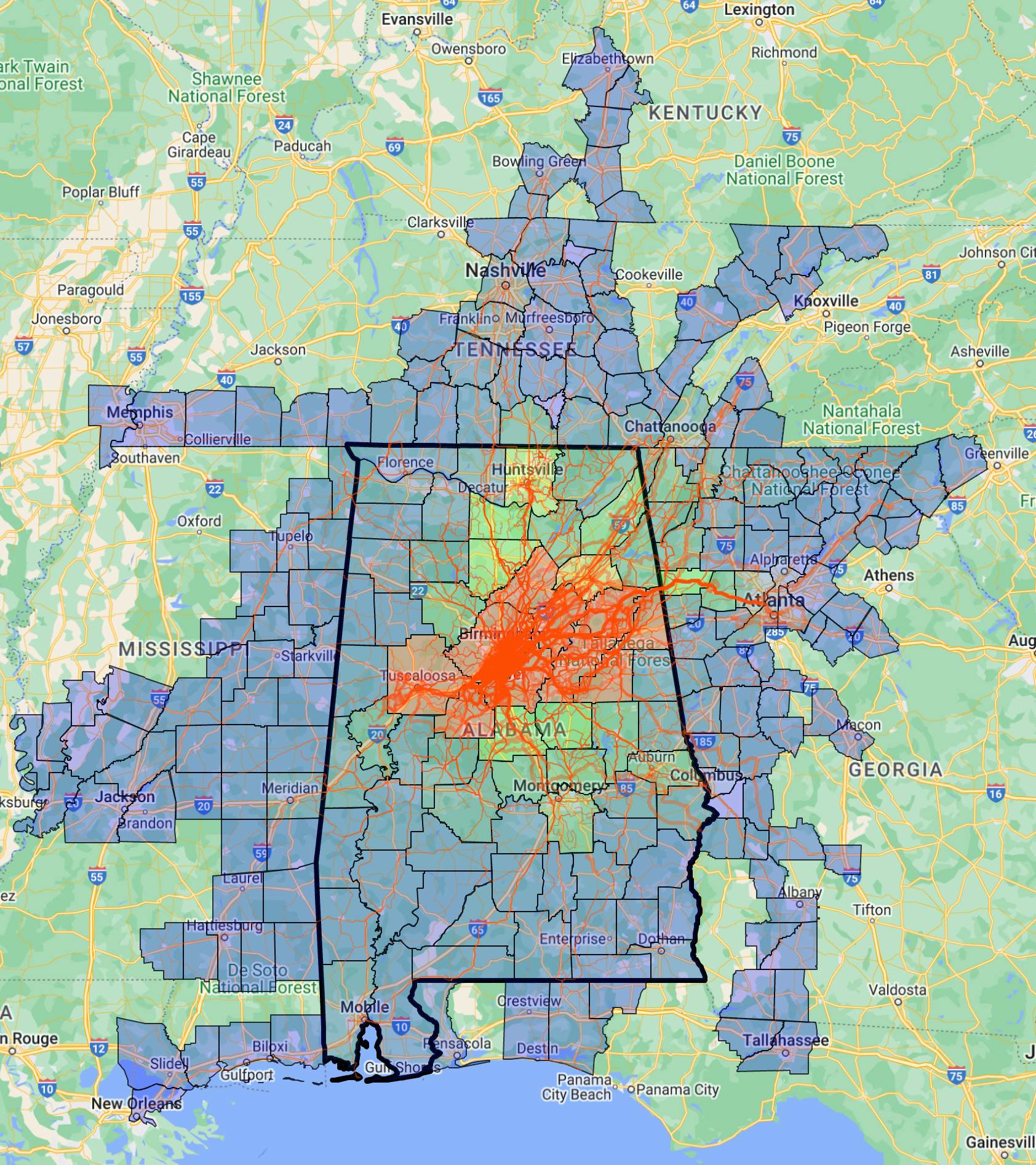
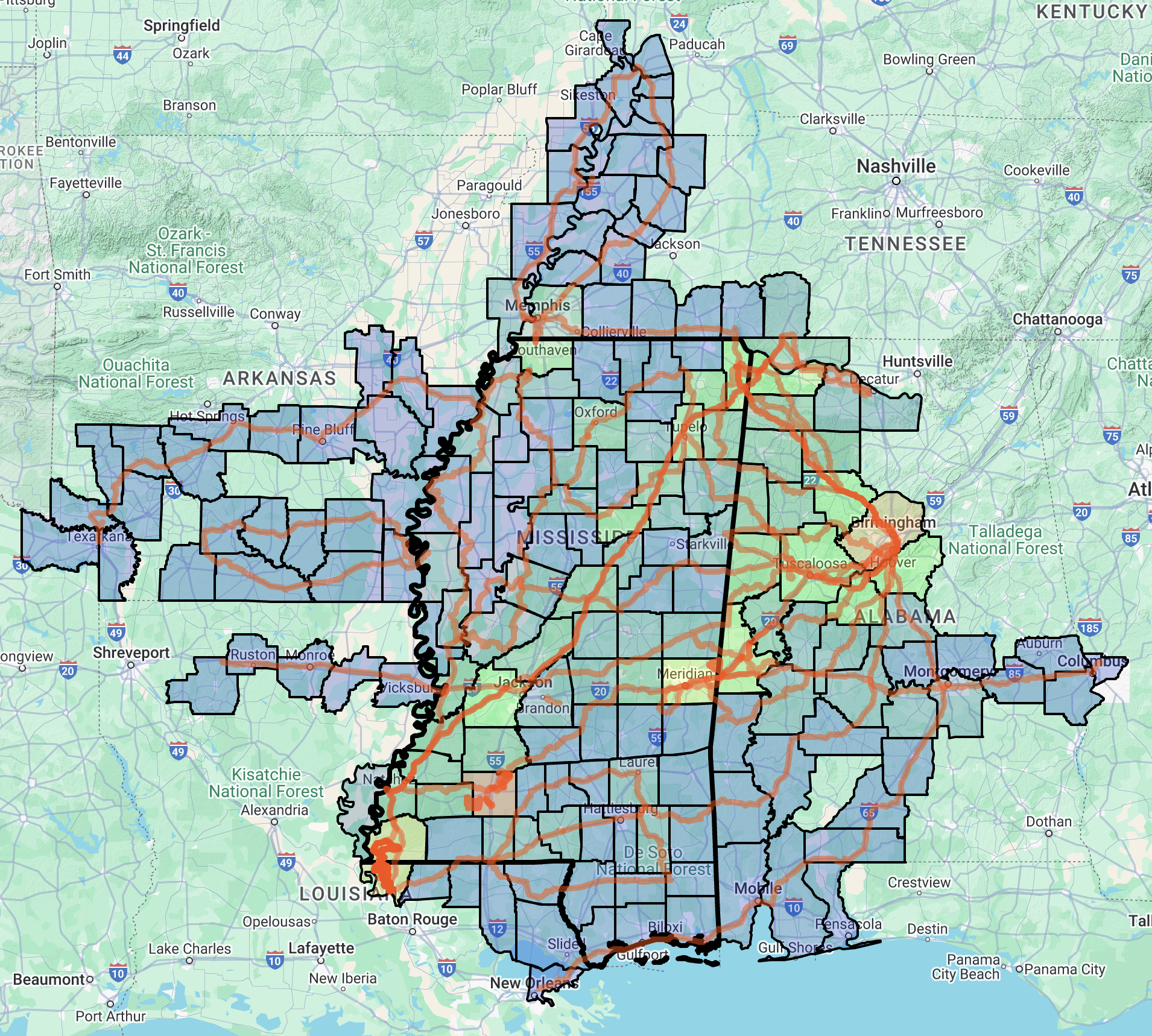
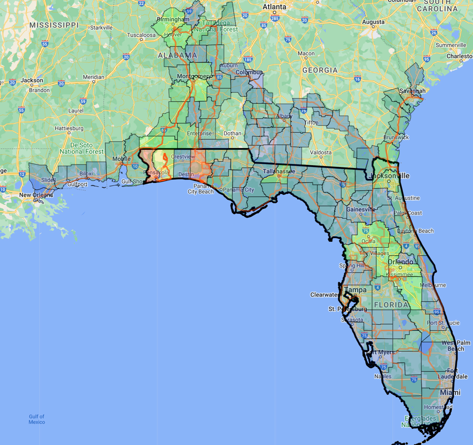
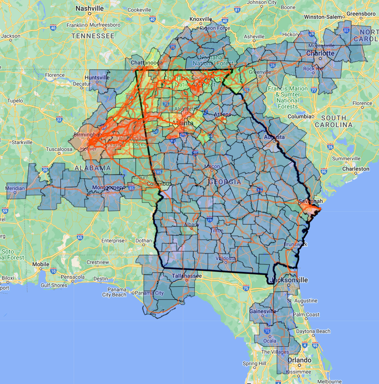
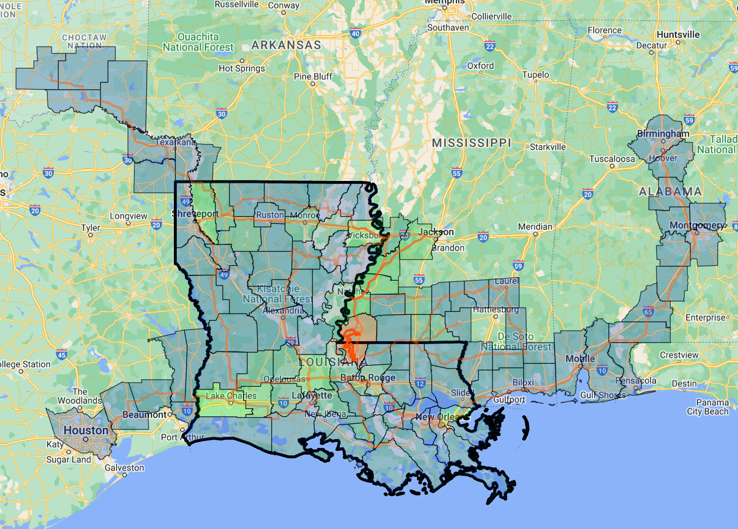
Lifetime – 1158 counties in 38 states with eight states completed in this order: Alabama (2016), Mississippi (2021), Florida (2021), Georgia (2022), Louisiana (2022), Tennessee (2022), South Carolina (2023), and Arkansas (2024) – I’ve included a gallery of maps below showing all the rides in all eight states that I’ve completed. The amount of labor that went into creating these maps and also doing the rides is pretty high, so please appreciate each one, lol. The map at the top of this post is my lifetime rides covering 1158 counties in 38 states.
| STATE | COMPLETED | RIDES | STATES | DISTANCE | CLIMBING |
| Alabama | 2016 | 6,015 | 9 | 255,995 mi. | 25,308,114 ft. |
| Mississippi | 2021 | 64 | 11 | 9,768 mi. | 402,620 ft. |
| Florida | 2021 | 63 | 6 | 6,584 mi. | 153,560 ft. |
| Georgia | 2022 | 224 | 7 | 27,752 mi. | 1,767,352 ft. |
| Louisiana | 2022 | 27 | 7 | 4,184 mi. | 120,459 ft. |
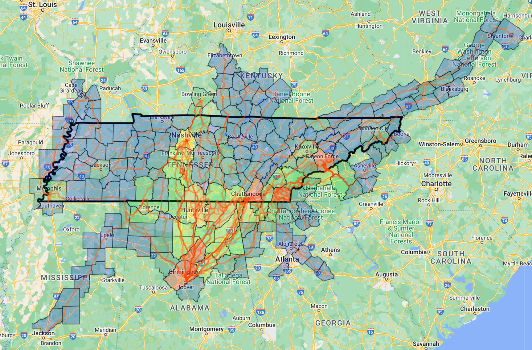
| Tennessee | 2022 | 117 | 11 | 15,470 mi. | 1,078,993 ft. |
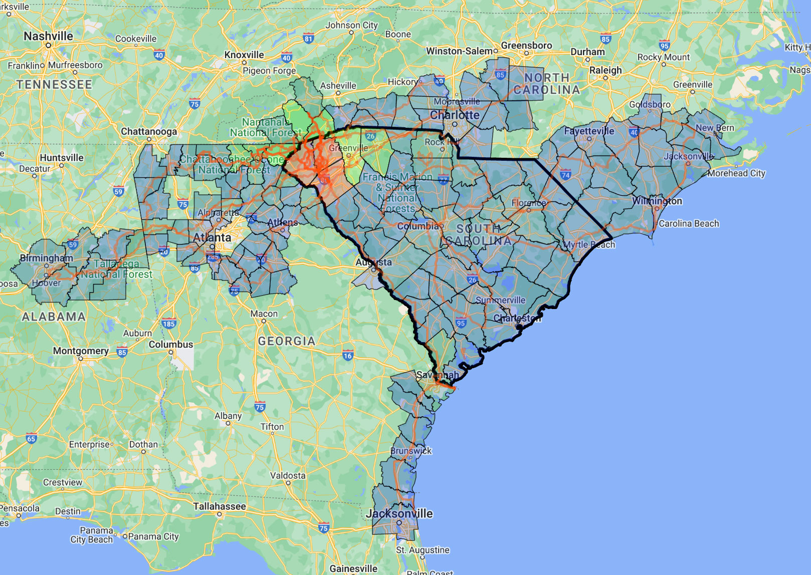
| South Carolina | 2023 | 53 | 5 | 6,562 mi. | 433,097 ft. |
| Arkansas | 2024 | 22 | 10 | 4,347 mi. | 173,189 ft. |
Click on the links above to open an interactive version of each map in a new tab.
COUNTRY UPDATE (rides only)
2024 – 2 countries including one new country: Iceland
Lifetime – 9 countries – USA (6600 rides), New Zealand (13 rides), Canada (6 rides), Nicaragua (5 rides), France (4 rides), Iceland (4 rides), Mexico (2 rides), Denmark (2 rides), The Netherlands (1 ride)
wandrer
I found out towards the end of the year that I am currently leading the USA in terms of number of unique miles ridden out of 36,423 USA wandrers, which is tracked by a cool website called wandrer.earth. As it turns out, I’ve ridden almost 1% of all the roads and bikeable trails in the entire USA, which translates into 58,386 miles out of a total possible 6,404,813 miles of trails and roads being tracked (via Open Street Maps). They wrote up a fun blog post from a zoom interview I did for the website.
totals
2024 – 21,458 miles with 1,333,681 ft of climbing over 1430h 34m
Lifetime (on Strava) – 318,375 miles with 28,681,149 ft of climbing over 22,444h 58m tracked on 6818 rides since November 2008. Note that I started riding more seriously in 1993 and rode a few thousand miles in 1994, well over 5000 thousand miles in 1995, and about 10,000 miles annually in 1996, 1997, and 1998. My riding took a nose dive in graduate school scaled back to a couple thousand miles annually until I started riding again seriously in 2005 where I didn’t quite make 10,000 miles. But I averaged right about 10,000 miles in 2006, 2007, and 2008. Using these rough estimates, my current lifetime mileage is approximately 405,375 lifetime miles. I do have detailed records for 1995 and 1996 (paper records) and Microsoft database records for 1997 and 1998. I stopped tracking completely during graduate school (so no records from 1999-2004). But I took a picture of my bike computer at the end of each year starting in 2005 before resetting the odometer for the next year. I also switched over to Polar software and started tracking data from my heartrate monitor in 2007 and 2008 before getting the Garmin and switching all tracking to Strava in 2009.
eddingtons
With a lifetime goal of 256, I made a lot of progress this year bumping my Eddington number up to 221 … sounds close to 256, right? Well, no. I still need to ride 102 more rides of at least 256 miles to get that number all the way up to 256. That being said, I did 24 rides 256 miles or longer this year and 23 last year. So very optimistically and assuming no injuries or other major changes, I should make it to an Eddington number of 256 by early 2030. This is one of the challenges with the Eddington number – goal setting! At the moment it seems like I have set my “lifetime” goal of 256 at far too small a number. But who knows if I’m going to make it to the year 2030, especially given the inherent dangers of riding a bicycle on modern roads where everyone is distracted and in a hurry. So I’m already trying to keep my long rides/days closer to 300 miles, which is truly a stretch goal, but I will be thankful to make it to 256 hopefully.
THe highlights
With 24 rides of at least 256 miles, there were a lot of epic adventures this year. As I get older, the fresher a memory is, the more meaningful it is. So I’ve got to say one of the highlights of this year was definitely yesterday’s completion of the Festive 500 with a 256 mile ride after flying home from Minneapolis, especially since I got to finish the last 14 miles riding with my son locally and showing him my commute route home from work.
But the best highlight of the year was riding my bike last month from my house in Hoover, Alabama on a long commute to Staunton, Virginia to rabbit-sit for my daughter for a couple days while she was out of town and then help her with the drive back home to Alabama. Half of the “fun” of these adventures is planning out the route. One road in particular that I had been looking forward to and changed the entire setup of my bike for was a road called “Buffalo Rd” climbing up from the James River in Buchanan, Virginia up and over a small pass before dropping down into Lexington, Virginia. It was easily the highlight of the entire trip and included unexpectedly herding some cows. See below:
Finishing Arkansas
Another highlight was definitely all my rides in Arkansas this year to finish out riding in all the counties in Arkansas. I completed about a dozen rides totaling 1,975 miles spread out over several breaks in school and over the summer. The culminating final ride after an earlier failed weekend (shortened route and missed some counties due to LOTs of rain) was a beautiful (but cold) fall break 550 mile weekend in October where I was the first in my family to find the Tsuchinshan-ATLAS comet which was visible all over the southeast after sunset. I found the comet while crossing the top of a large Ozark mountain and looking back one last time thinking it was too late. But there it was, right there as clear as day.

Iceland
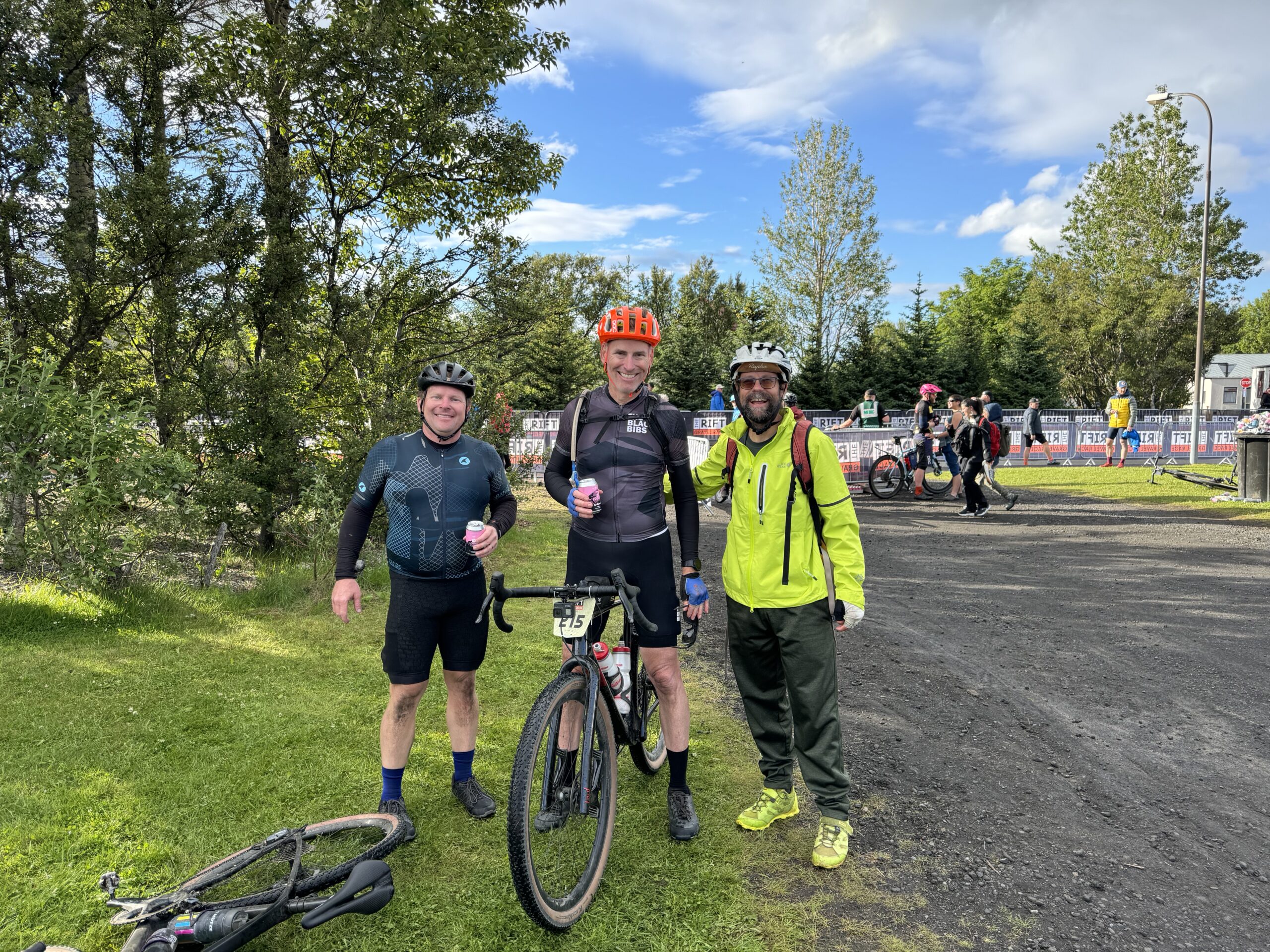
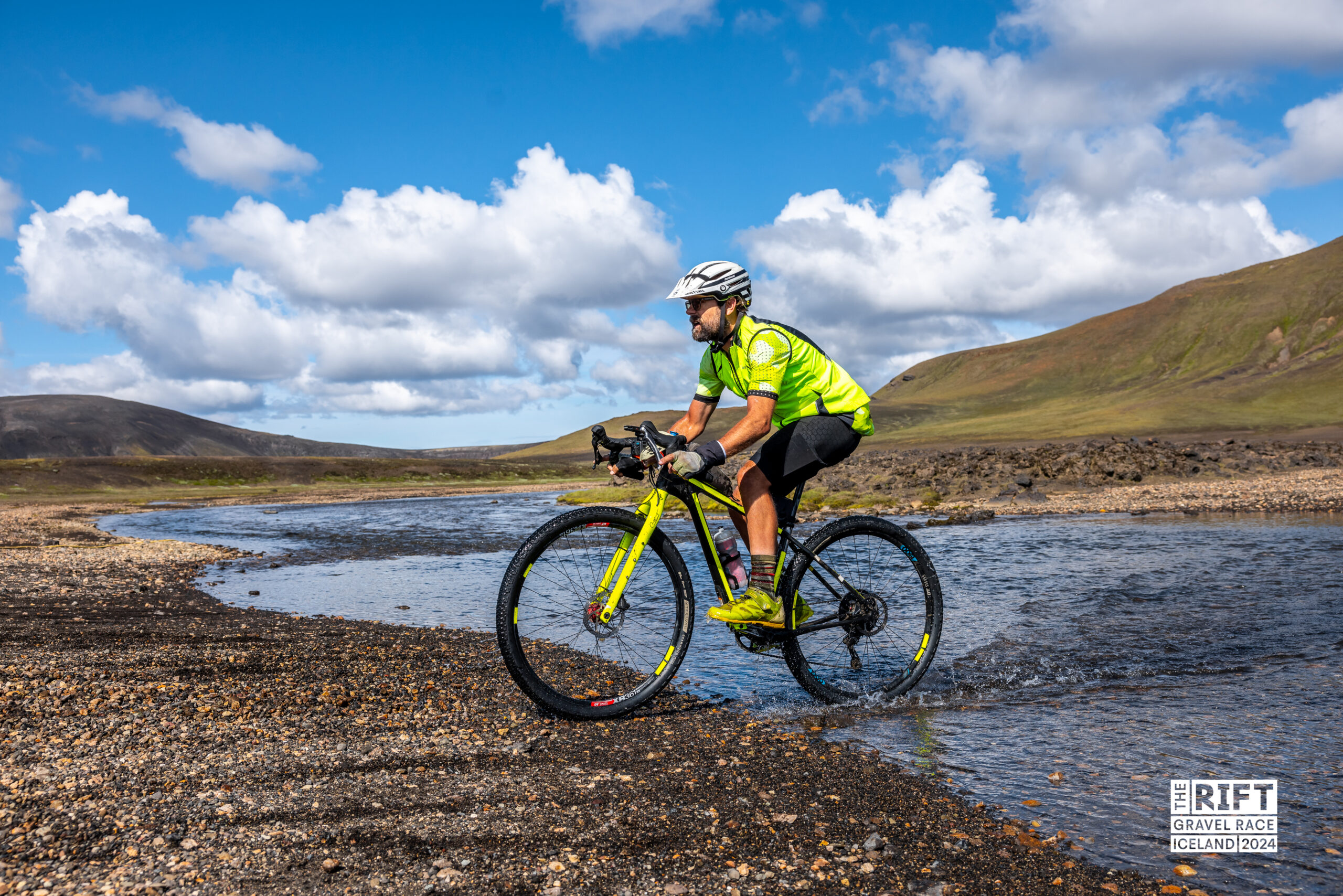
I raced The Rift towards the end of summer in Iceland. It was my first time in Iceland even though everyone else from my family has been there at least once. My friends Michael Staley and Rick Swagler convinced me to go over and do the race with them that they had done the previous year called “The Rift”. The name is based on how the race spans two different continental plates that are pulling apart. While the race itself was awesome and just about as traditional a “gravel race” as you can imagine but in the context of incredible scenery of glaciers and volcanoes, the highlight for the trip for me was definitely traveling all around Iceland hiking and biking with my wife and son.
The Crowdstrike software attack that took down airline reservation systems happened on the day we were leaving to come back so Delta rebooked us on a flight THREE DAYS later. So we did get three bonus days that Delta ended up mostly reimbursing. My daughter was busy studying and living her best life in Oxford for a Virginia study abroad program for college students, so she missed out on this trip to Iceland but we hope to go back again!
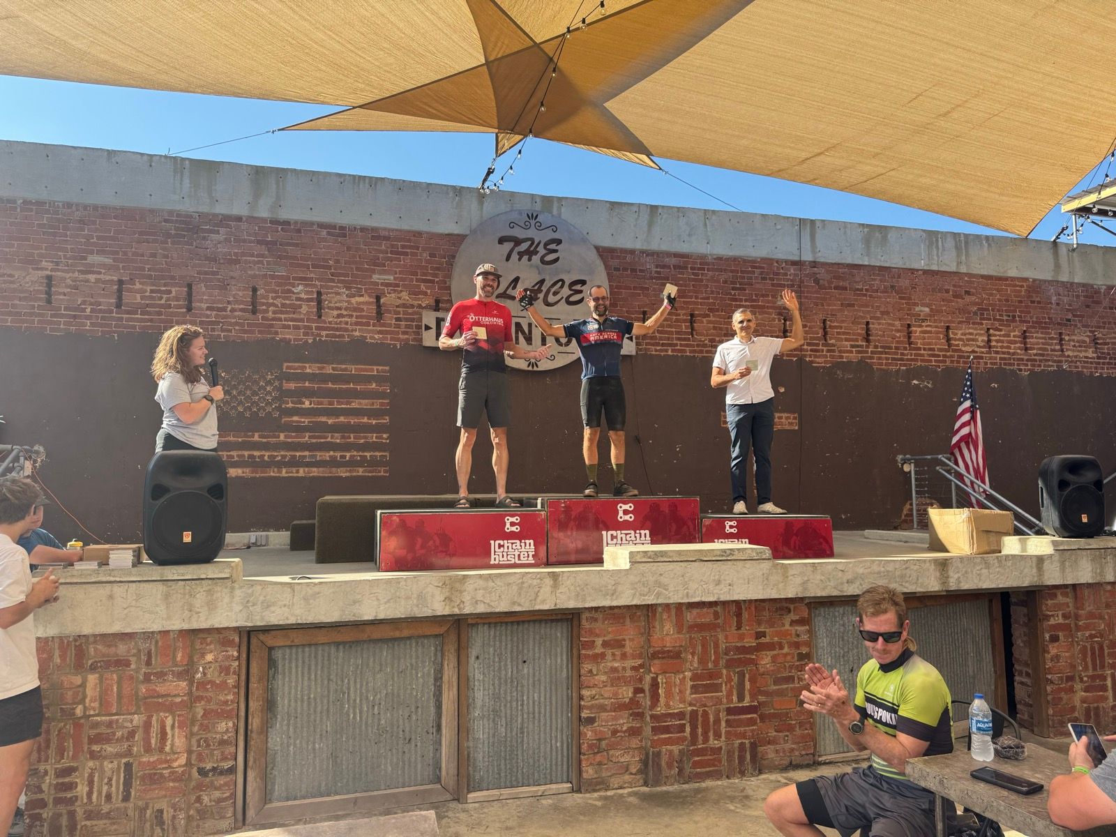
Winning a bicycle race
Another highlight was winning the Shake and Bake gravel race (masters), my first bicycle race to win since the 2016 Skyway Epic 100 when I was in the best shape of my life. This year, I rode to the race, won the race, and then rode home on a long enough route to still count towards my Eddington 256 goal. Interestingly, I rode almost exactly 256 miles without having to add on anything at the end, which I kept laughing at from about 80 miles away doing the calculations in my head based on current distance and how much farther to go. It always changes a bit if you do any route deviations or GPS drift. And I wasn’t sure if there would be any route changes during the race or how accurate the race course was on ridewithgps. So it surprised me (and made me laugh) that every 10-15 miles I would recalculate what my total distance was looking like and it was 256 on the money. Then when I climbed up the hill to my house, it didn’t tick over from 259.9 until shortly after I made it to my driveway. So I kept on going and as soon as it ticked over, I turned around and rode back leading to ride of 256.08 miles on Strava.
University of Montevallo cycling team
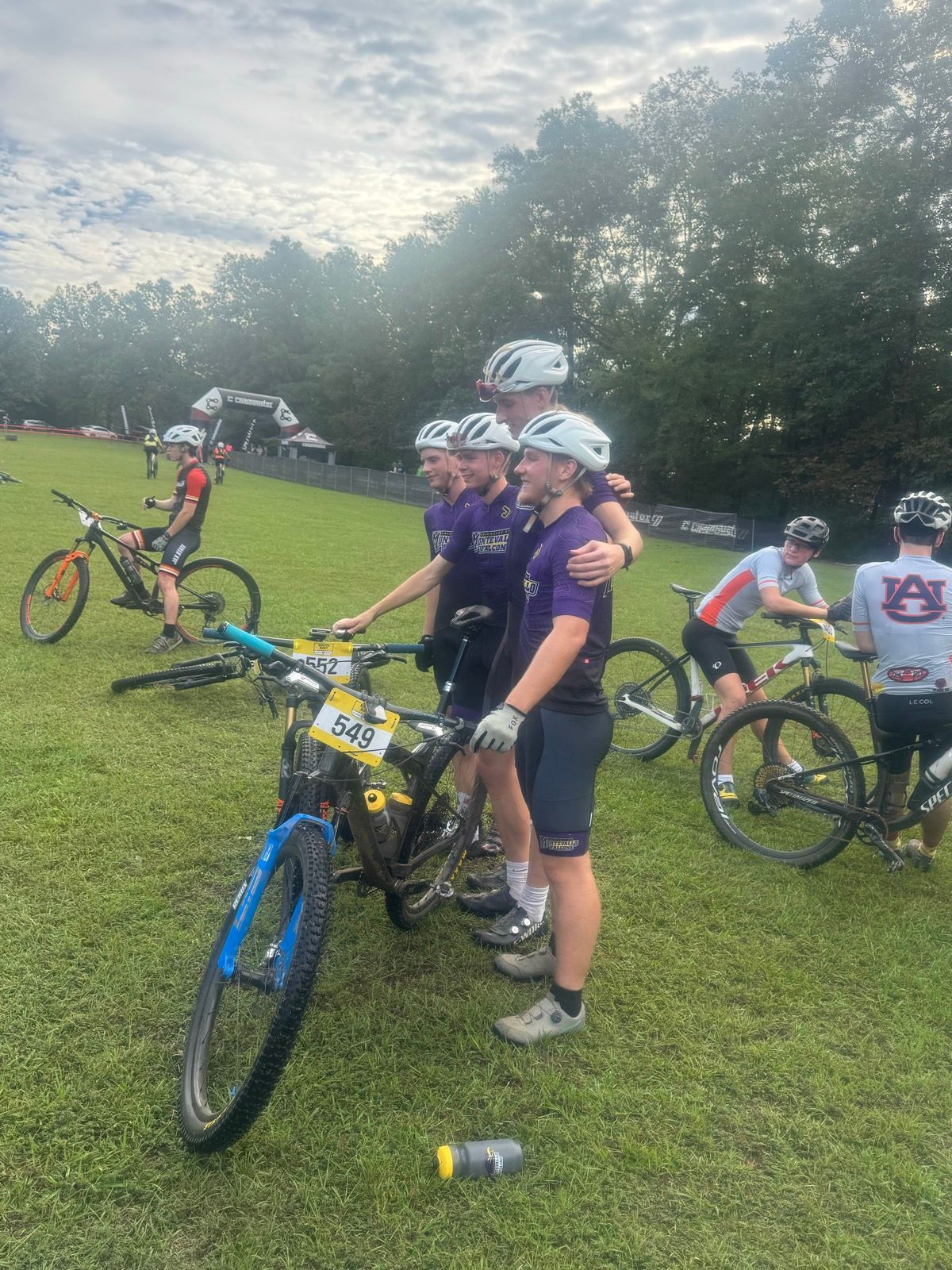
The last highlight for the year was getting to see my son sign with the UoM cycling team in the spring and then start training and racing with them in the fall. It has been so awesome to see him succeeding and making friends at his first year in college at a great school. Plus, I got into all kinds of adventures randomly riding to/from Montevallo (which is not outside the range of a commute home from work … albeit a bit on the long side) as well as riding down to Auburn to see him race.
A weather adventure commute to Virginia 21 Dec 2024 8:59 AM (10 months ago)
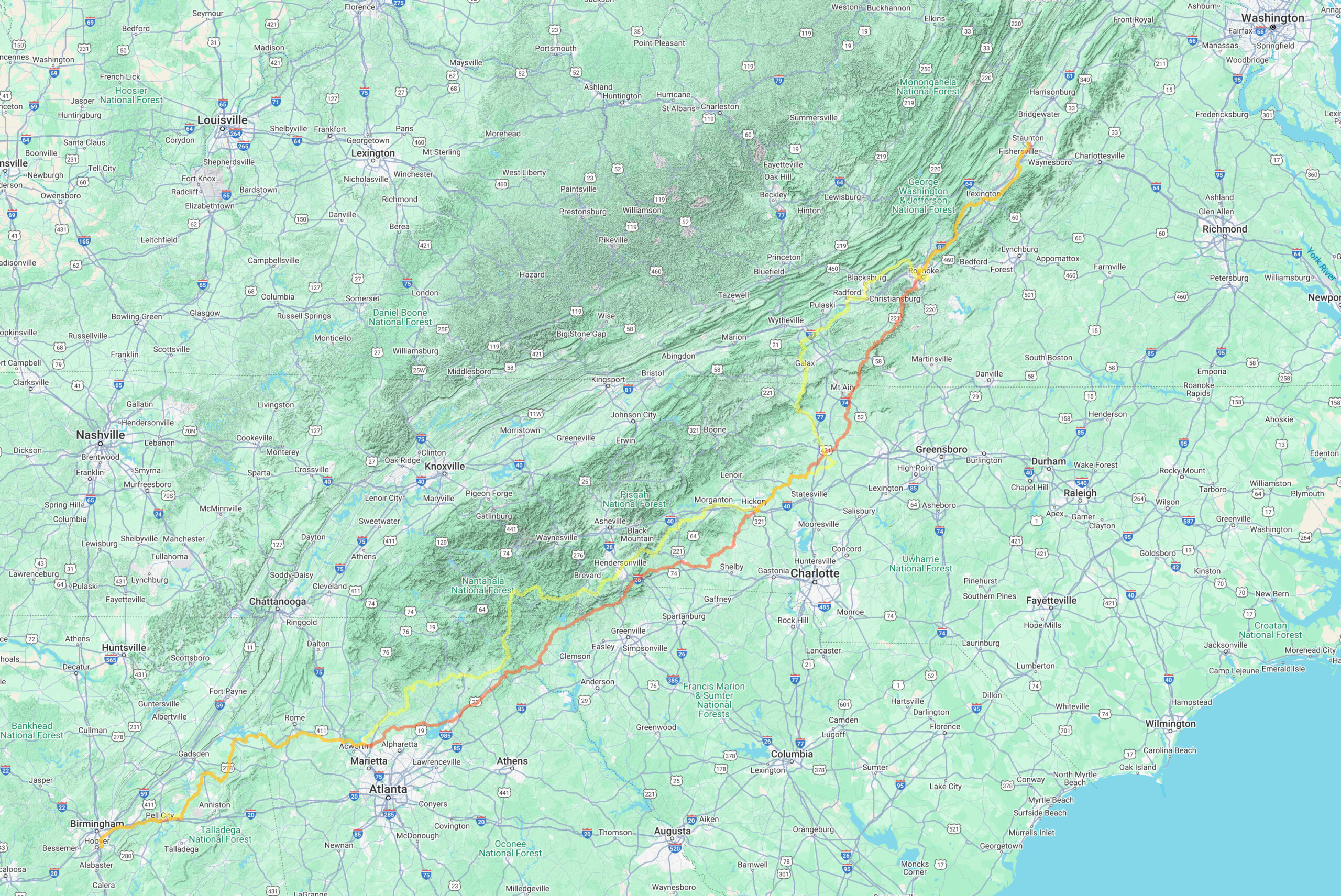
Intended route – 885 miles from Hoover, AL to Staunton, VA w/ ~50k ft climbing
Actual route – 760 miles from Hoover to Staunton w/ 44k ft climbing
At the end of September, Hurricane Helene strengthened rapidly in the Gulf of Mexico and then came ashore in a rural part of the gulf coast of Florida before heading north across Georgia, South Carolina, and curving back around across North Carolina into Tennessee dumping record amounts of rain over the entire Appalachian area.
Fast forward almost three months later, and I found myself detouring around closed roads, hike-a-biking through peanut butter mud, turning around at missing bridges, and riding on one-lane roads with the other lane at risk of collapsing from landslide washouts. And this was all on my alternate route that after a current storm forced me to cut day 1 short or risk hypothermia when the forecasted two hours of drizzle turned into 12 hours of all-day cold rain and fog.
Why was I biking to Virginia? My daughter had tickets to a show last night in NYC and needed someone to look after her pet rabbit. Also, after she gets back from NYC today, I can help her drive home to Alabama for Christmas break. NYC represented some logistical headaches that my amazing grad school friend and roommate, Radu, was able to help resolve. Thank you Radu!
Day 1: rain, rain, and more cold rain
Intended route – 267 miles from Hoover, AL to Dahlonega, GA
Actual route – 200 miles from Hoover, AL stopping early in Woostock, GA
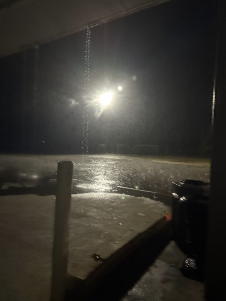
I delayed my start on Day 1 choosing to leave at midnight instead of 8pm the night before to wait out the main part of a weather system covering nearly the entire central part of the country bringing rain from the Gulf of Mexico and snow in Wisconsin, Chicago, and Michigan.
I left in a light drizzle that was stopping, but very wet roads from the rain that had just come through. The roads had even started to dry a bit by the time I made it past Leeds about 30 miles into a 267 mile ride from Birmingham, Alabama to Dahlonega, Georgia. Unfortunately, I caught up with the back end of the system and ended up riding along with it for 200 miles before stopping in a gas station, drinking coffee, shivering, and on hold with customer service to cancel my hotel reservation. Thankfully, they did, and I was able to rebook in North Atlanta (Woodstock).
Day 2: memory lane and Hurricane Helene damage through NC/SC
Intended route – 259 miles from Dahlonega, GA to Hickory, NC
Actual route – 270 miles from Woodstock, GA to Hickory, NC
I was able to get caught up by re-routing myself directly from Woodstock, GA to Hickory, NC using Google Maps. In my original route from Dahlonega, I had routed myself up into North Carolina missing South Carolina completely. But this was more mileage and more climbing from a starting point much closer to Hickory than basically the north side of Atlanta. Unbelievably, after a relatively long hotel stay from 3pm to midnight, it was still drizzling and HEAVY fog as I left the hotel. This made for very wet roads, but the temperature was a bit warmer at midnight than when I had stopped.
PEANUT BUTTER MUD OUTSIDE GAINESVILLE, GEORGIA
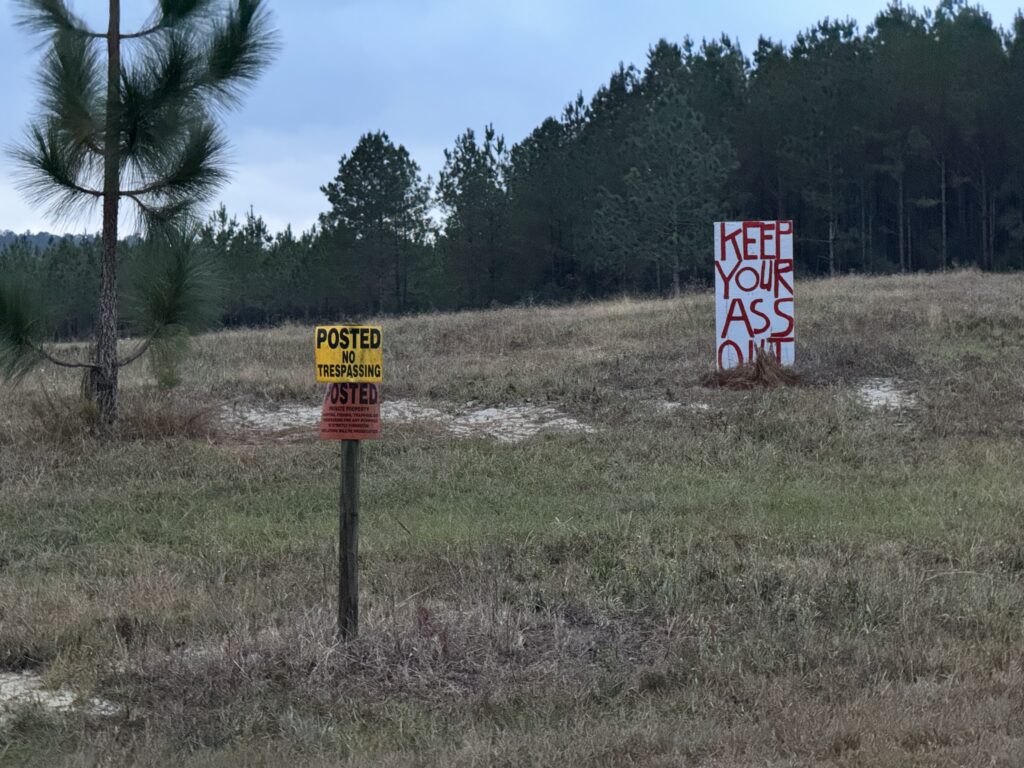
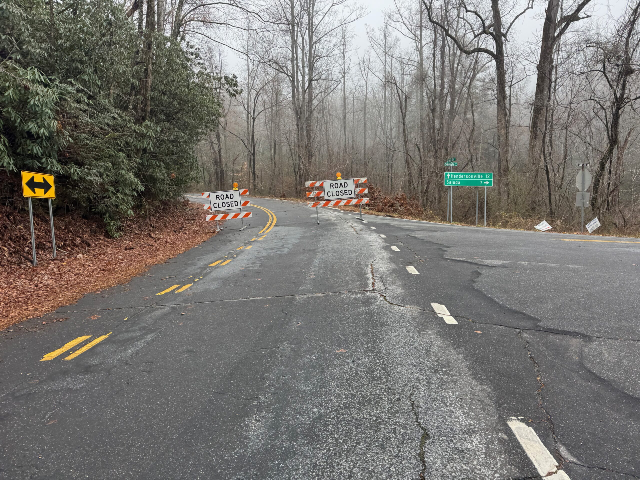
I got into a rhythm through the endless hills near Lake Lanier and had made it 60 miles up through Gainesville, Georgia long before morning rush hour traffic when I ran into my first major obstacle – a couple miles of dirt/gravel road with 1/2 mile of hike-a-bike peanut butter mud in the middle. I saw the “Road Closed, Local Traffic Only” sign and decided to go anyway thinking that worst case I would turn around. But then shortly before making it to the closed section, I went down a steep hill and was chased by some dogs. So I decided to commit to making it through and rode around the first set of “Road Closed” signs. Yes, that’s right, GA DOT really tried to warn me as I would come across a second set of “Road Closed” signs about a mile farther up. Initially, the dirt was mixed with some sort of gravel so that none of the mud was sticking and was kinda smooth in places. I was still generally going downhill so I was riding pretty fast when I saw a set of signs up ahead shining in my headlights (it was still a couple hours before sunrise). I thought to myself, “oh good, that was nothing!” thinking I had made it through the closed section.
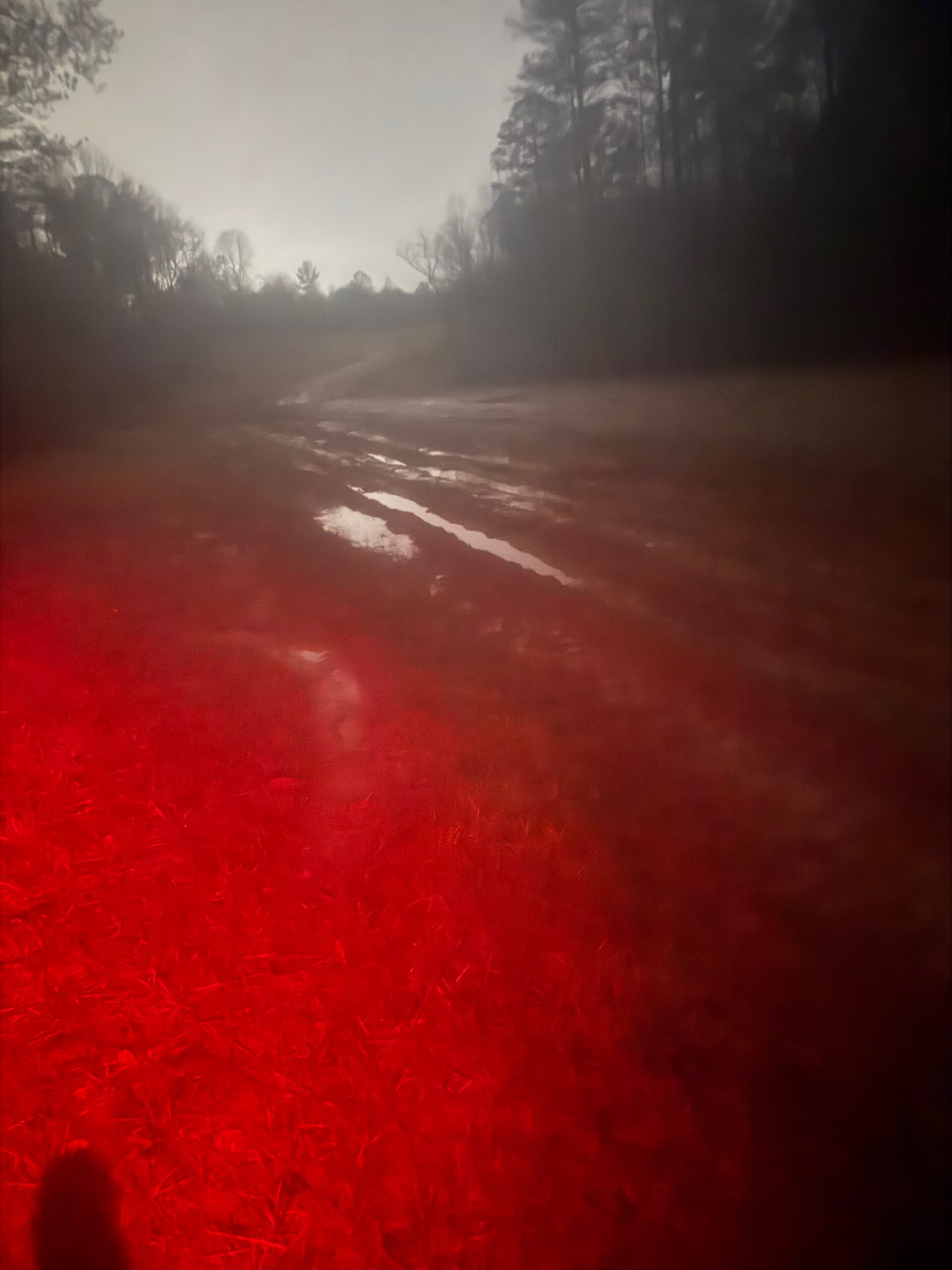
But as I approached, I realized it was another set of “Road Closed” signs. This was at the top of where the road took a steeper turn downhill. I went around those signs and the road was immediately less gravelly and much more dirt/muddy. I thought “this is not good”, but continued anyway. At first it was steep and still rideable. As I neared the bottom going slowly riding my brakes hard because I was worried about what I would find, sure enough, I could see immediately in front of me what I dreaded – nasty peanut butter mud. I slammed on the brakes coming to a complete stop with about half a wheel revolution into the mud. That was enough to completely coat the tire in mud. I stepped off the bike into “suck your shoe” off mud and mucked my way over to the side to the steep embankment 50 foot climb up to some railroad tracks. There were tons of small trees I could hold onto as I decided to climb up to the tracks but I slipped and fell early and decided that I wasn’t 100% sure if the tracks were at the top or if they might be down the other side. I decided to make my way sideways through the trees a few steps and then back down to get around the worst of the mud and onto some grass.
I was able to carry my bike and stomp through the grass until I reached the landslide area, which is presumably why the entire road was closed. They had already planted grass and a netting over the steep slide but apparently hadn’t worked on the road yet (hence all the mud). I was able to make my way carefully across and lo and behold at 4:30 in the morning here comes somebody on an ATV as I resumed my hiking in the grass alongside the mud. The road was quite wide from how they had cleared everything out. I figured he would have said something to me but he just drove his ATV through all the mud on by me up the hill. Thankfully, on this side of the mud, the hill out of the valley was shorter and less than a quarter mile later I was able to hop back on my bike after squirting water to get the mud off my SPD cleats, ride the rest of the way up and between the road closed signs on the far side. I had made it!
crossing South Carolina
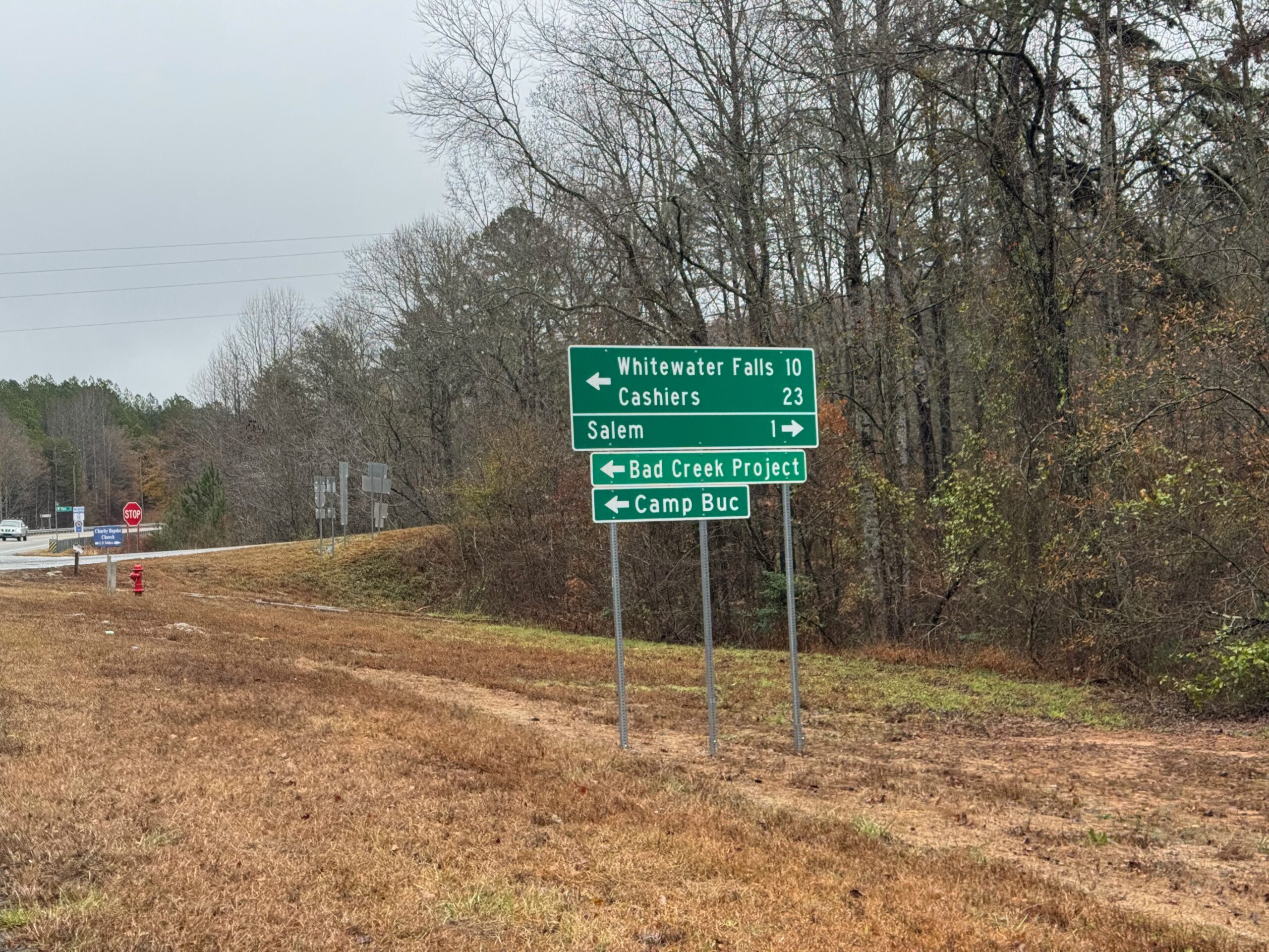
In this new route, I went right through the corner of South Carolina where I spent all my years riding while a student at Clemson, and even more recently where we would spend fall break vacation when our kids were little. Each mile I rode brought back memories from some adventure such as the three 200 mile roundtrip rides I did to the top of Brasstown Bald from Clemson, or the many times climbing Sassafras Mountain, or numerous adventures up to Highlands, NC (one time where I had to beg an apple off a farmer after getting bit by a dog while riding ahead of my exhausted friends after many miles of gravel on our road bikes to get the car to come back and rescue them) or Whitewater Falls or Ceaser’s Head. Or perhaps the best memory of all was passing by the spot where I turned around to head back to Clemson on my very first bike ride in South Carolina as an 18 year old freshman in college.
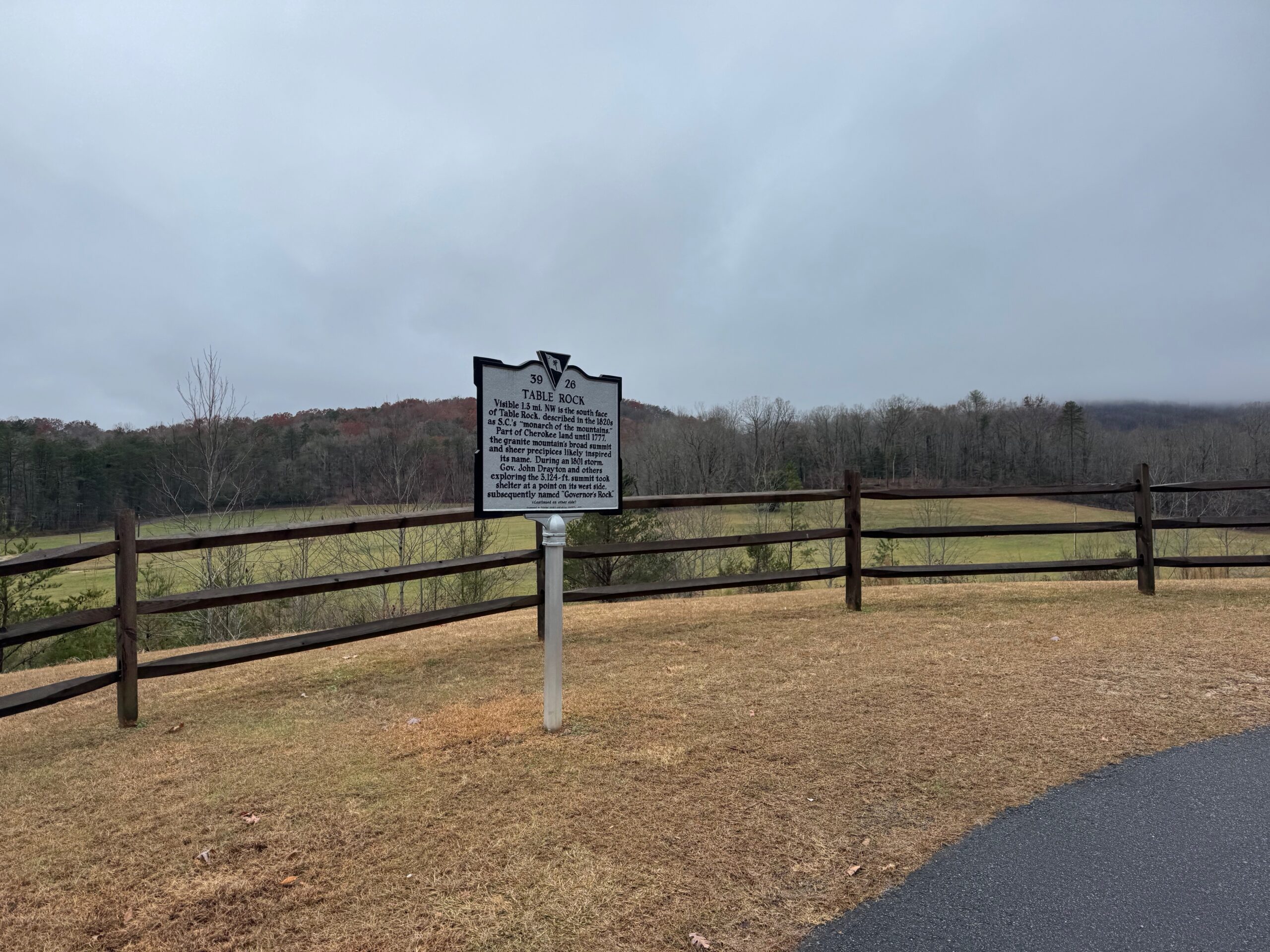
This was all on SC-11, the scenic highway which all of those adventures crossed over but rarely used because it does not forbid commercial traffic. Even back then in the 90s there were a LOT of trucks that drove very fast. There is a bike lane now, and I felt fine on it, but there were still a lot of trucks and traffic for a Monday from about 10am to 1pm crossing through Oconee, Pickens, and Greenville counties. There were tons of memories, but no views because of all the cloud cover.
As soon as I left SC-11 in Greenville county, I hit the Saluda grade, which I had only ridden a couple times during the Dividing Waters Road Race. I ended up having one of my best results as a college student in a USCF Pro/1/2 field with a strong Navigators pro team presence. I finished somewhere in the top 10 and took home a little bit of prize money which was unusual for me to finish well enough to win any money in my college racing days. The race finished at the top of a long climb to the SC/NC border known as the Saluda Grade. This area is popular with Greenville cyclists and is part of the Saluda Bakery ride, which I never did while I was a student at Clemson because it was a bit far away to even get to the start.
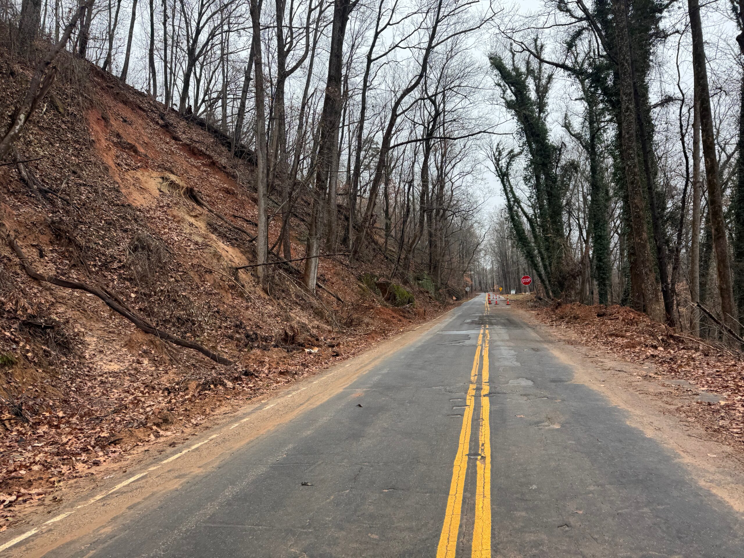
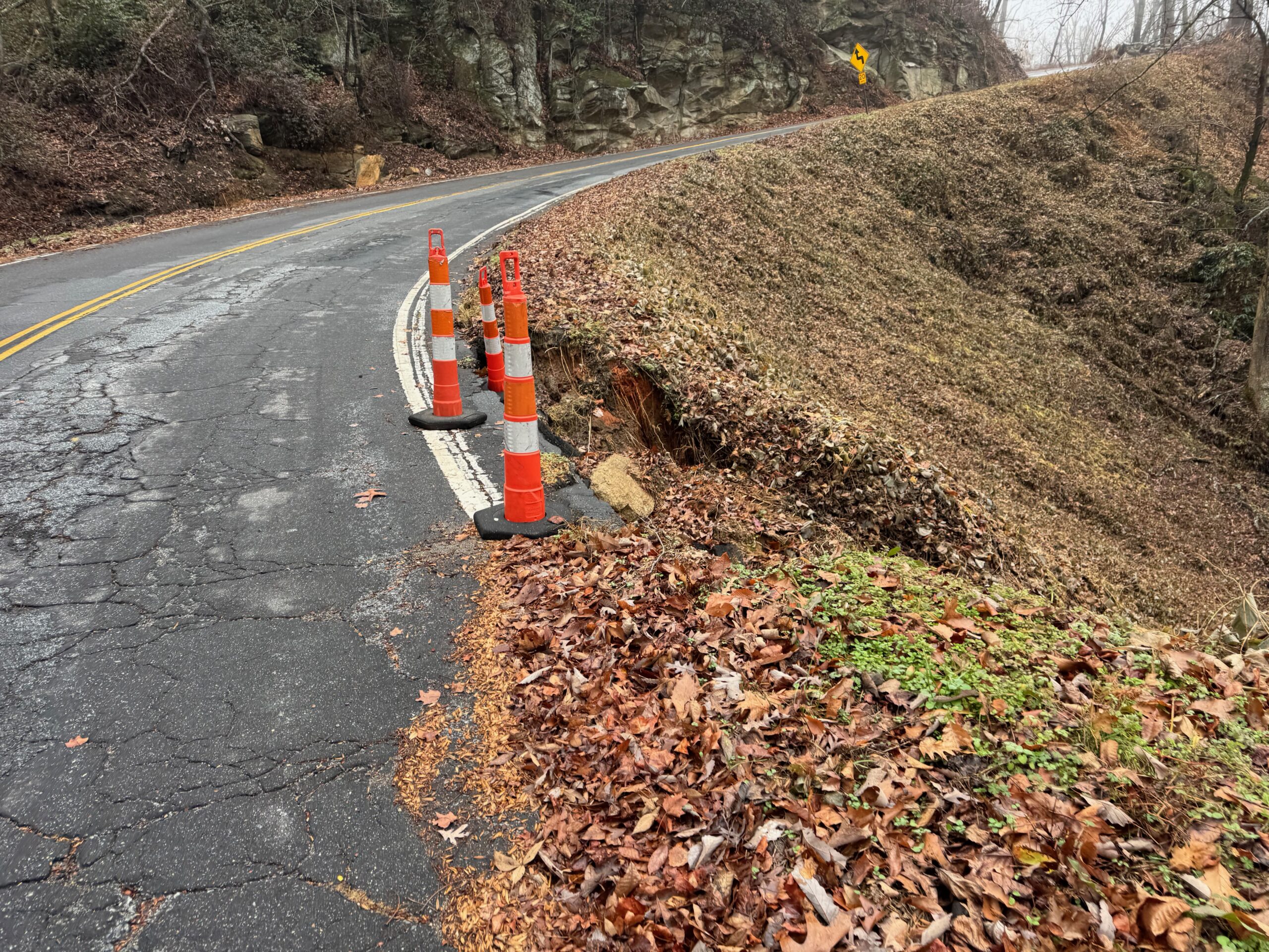
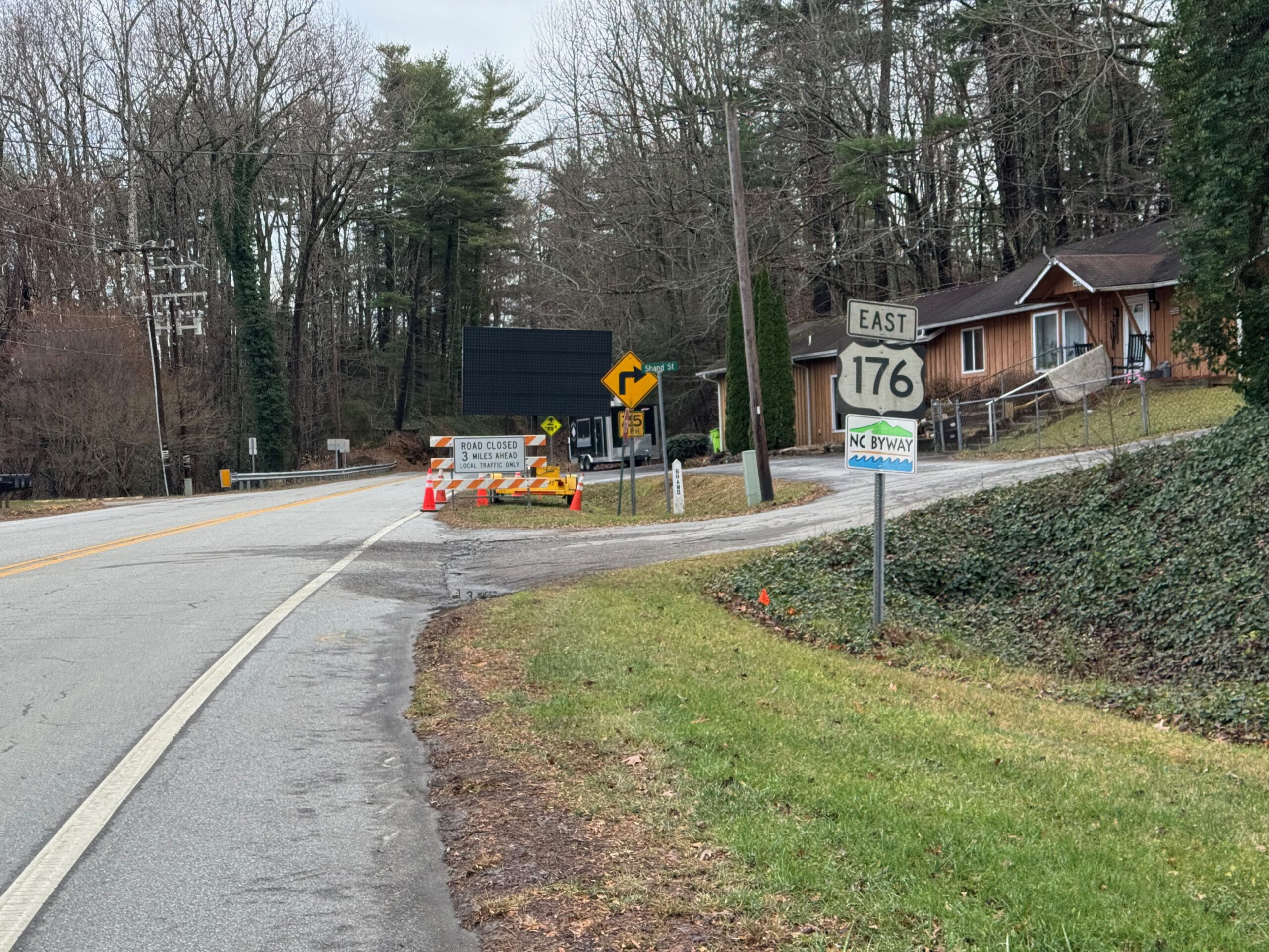
My memories were vague, but I thought I remembered someone saying during the race that the Bakery Ride split off from where we would be finishing. And sure enough, I reached the spot where there was indeed a split, which confirmed my memory. The road was closed at the split presumably with the top of the mountain impassable.
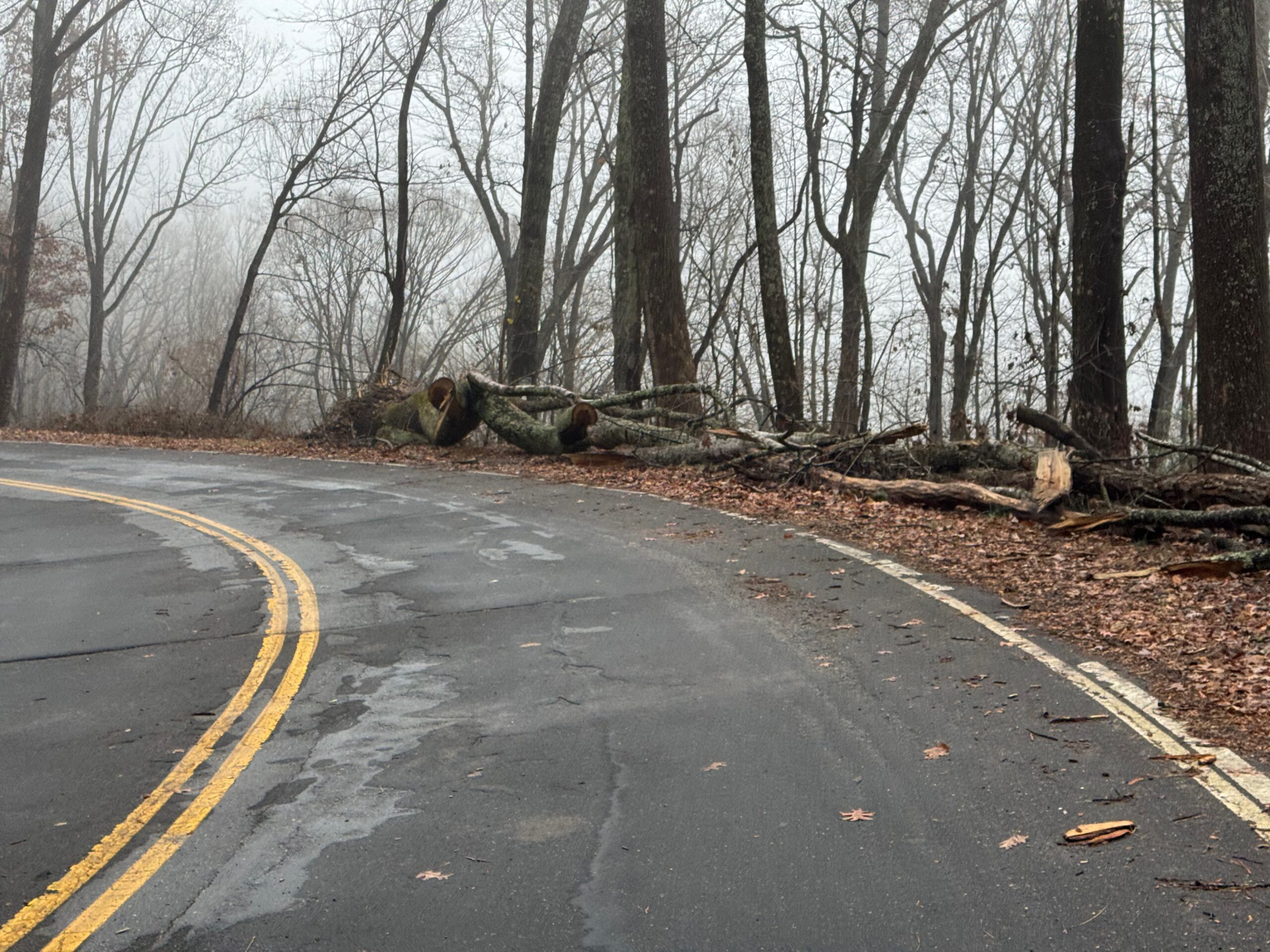
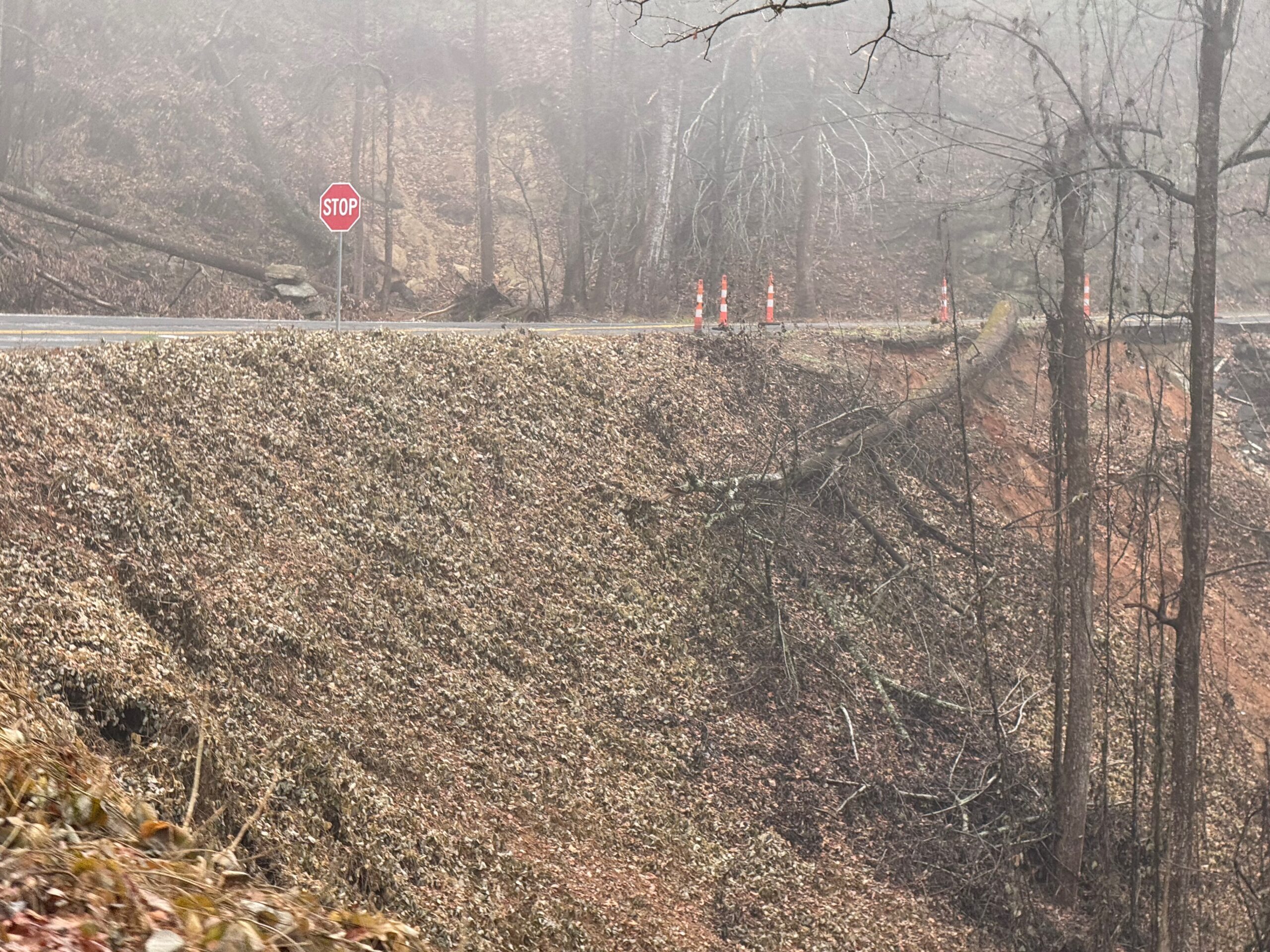
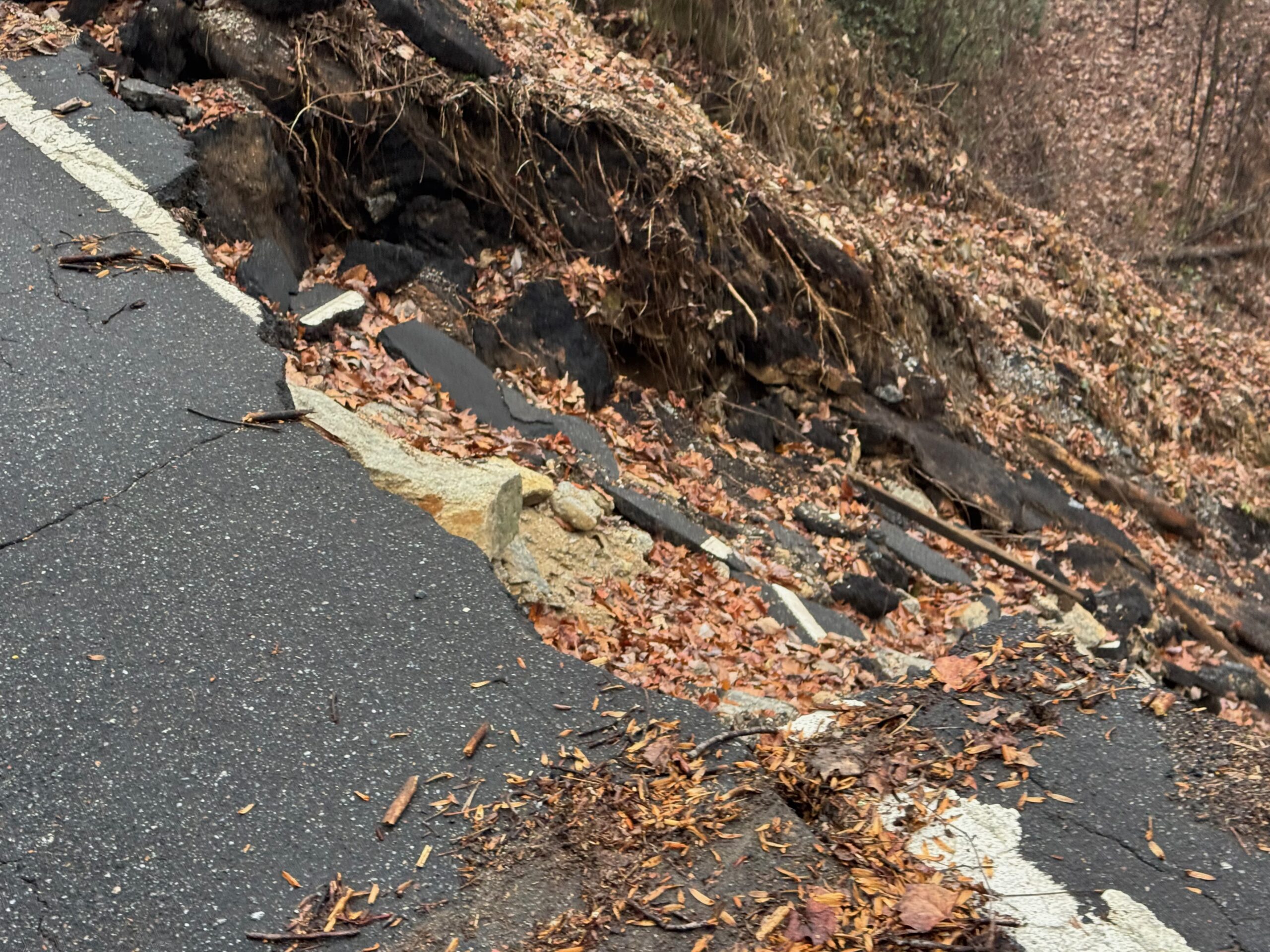
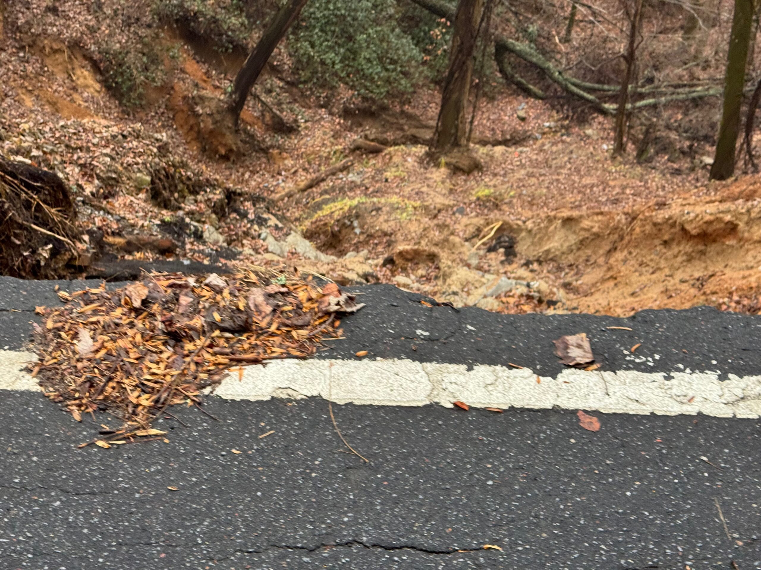
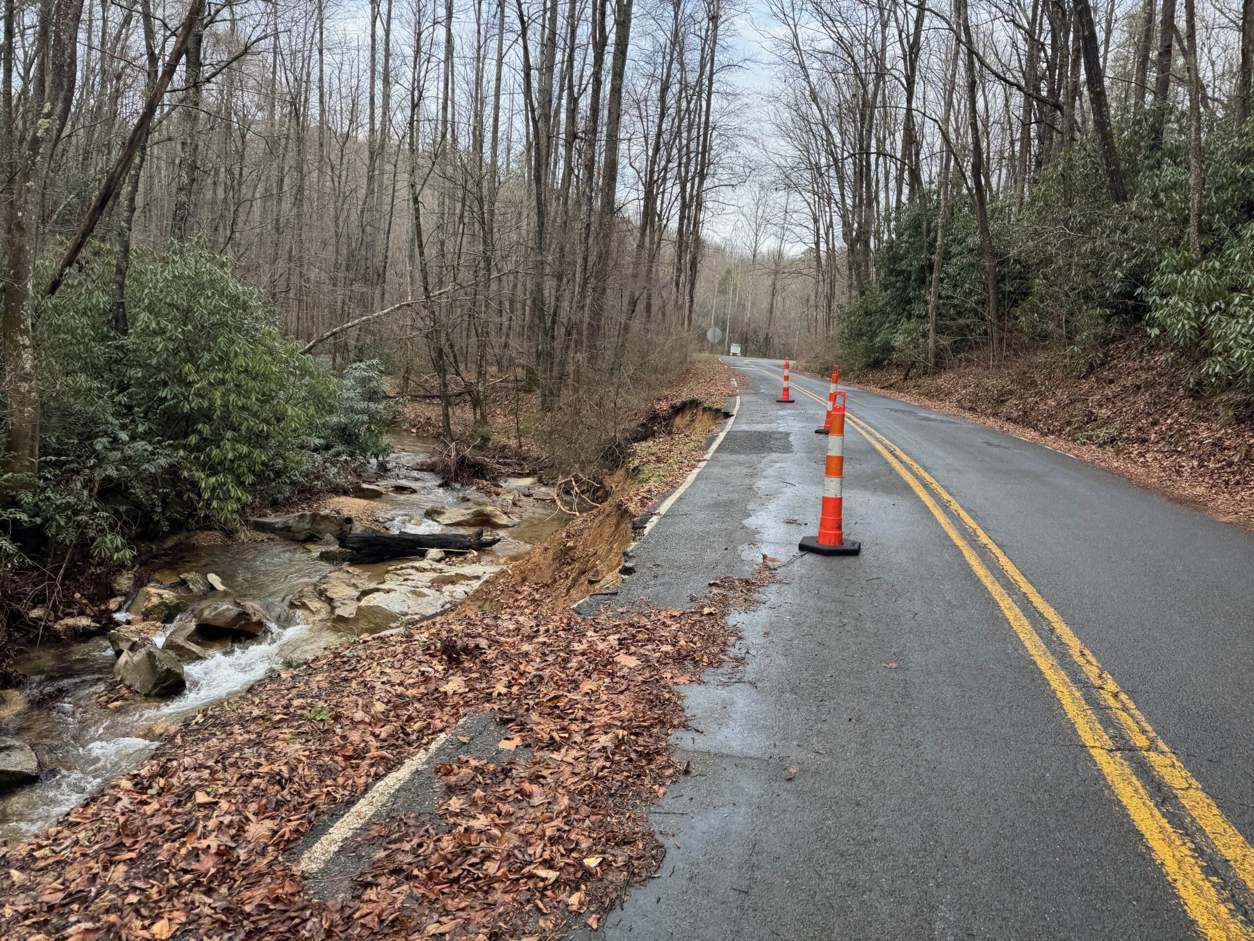
This makes sense because all along the climb there were spots where the road was down to one lane with washouts on either side of the roads. Usually the lane on the downhill side was the part closed as you could see the potential for heavy vehicles to cause the road to give way. Prior to this spot down in the valley I had noticed an increase in the number of trees down with many of them piled alongside the road. It must have been a nightmare in the immediate aftermath of Hurricane Helene. I noticed on the wikipedia page that the NC DOT made an announcement that “ALL ROADS” in western North Carolina should be considered closed until further notice.
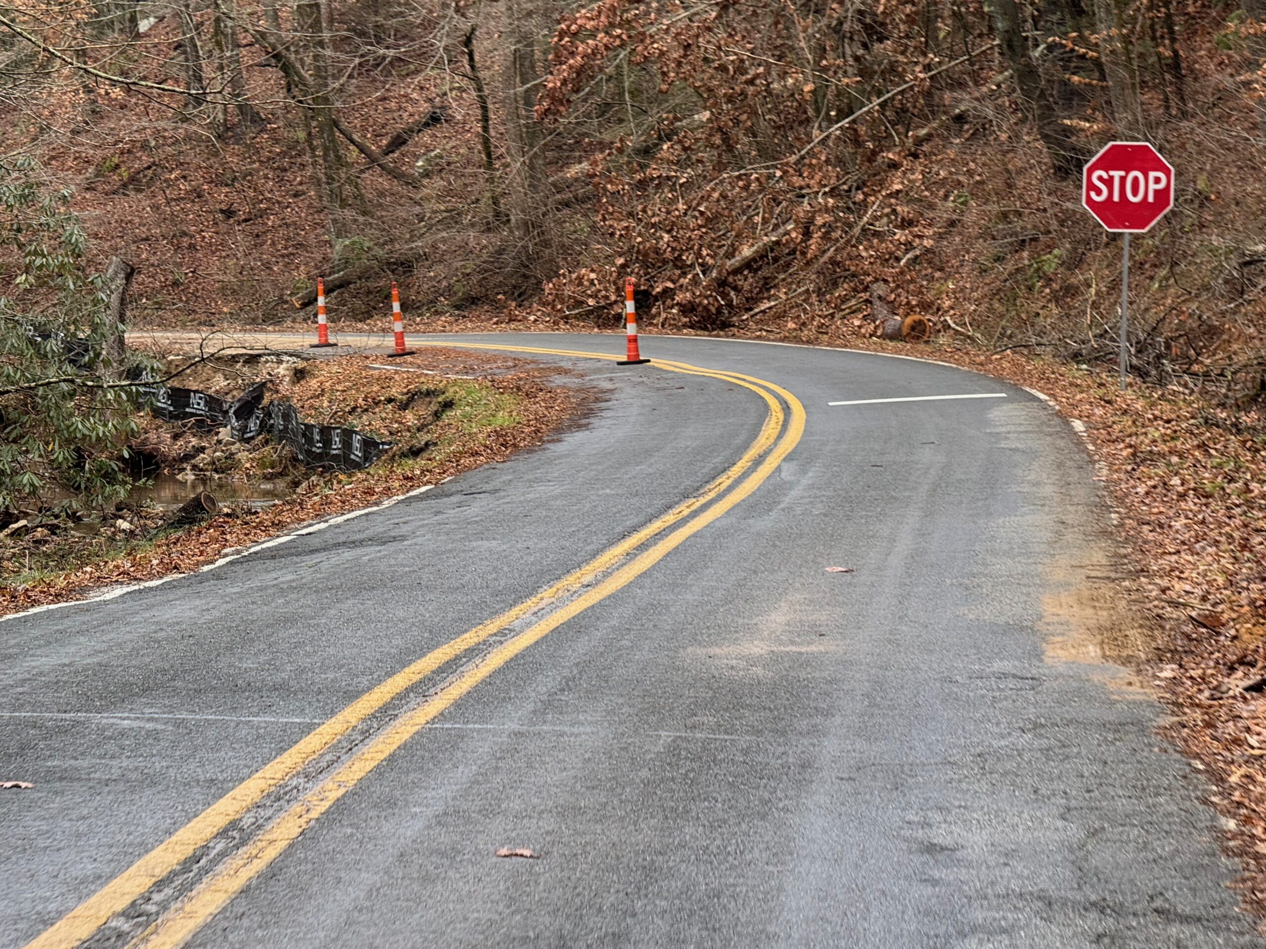
But back to the climb up to Saluda, NC, I was happy to be on a new road I had never ridden before and on my way up to a town I had never been to before. The sun finally was peaking out … for the first time since I started riding 36 hours earlier. I also had a bit of a tailwind as I made my way across the top of the ridge and descended down into the town of Saluda. I was pressed for time hoping to make it all the way to Hickory still 100+ miles farther away so I had no plans of stopping at the famous Wildflour Bakery (the turnaround spot for the Saluda Bakery ride).
After-school traffic started to pick up as I made my way out of town and through the next set of several towns with Christmas lights starting to come on past sunset. Steeps climbs and descents gave way to shorter hills to longer flatter sections of riding including one five-mile stretch of rails-to-trail between Forest City and Rutherfordton. After the rails-to-trail there was heavy rush hour traffic
A BRIDGE OUT IN THE DARK AND CRUEL, SURPRISING CLIMBS
These more gently rolling and even flat sections of riding made the next section seem even crueler. So, basically, I turned left and instead of heading East on the busy road I had been on, my route took me back north again. And within a few miles I had noticed it had gotten much hillier … but it was long 1-2% climbs for several miles followed by a sharper (and shorter) descent. So you felt like you were crawling and finally got a break before beginning to crawl again almost immediately. This wouldn’t be too bad except a dense foggy drizzle had settled in with relatively mild temps. So at this point I was overdressed for the agonizingly slow 200-300 foot endless and a bit underdressed for the descents – all the while on busy roads with fast approaching cars in dense fog. Fun times.
Also, I was well over 225 miles into my ride when I came down one of those sharp descents to a “Road Closed” sign and a bridge completely gone. I first made my way around the construction equipment thinking I could probably get across whatever was happening, but then I noticed that where there should have been a bridge was a whole lot of nothing. In the dark, I didn’t want to risk climbing down a steep muddy embankment and wading across the creek, which I couldn’t even see. So I turned around, climbed back up the steep hill and proceeded to watch my “distance to go” climb up by several miles each time Google Maps auto-rerouted me while I was following the detour signs.
Also, I ran out of water through here. But thankfully I could tell from my maps that there was a town not too far ahead where the detour was taking me. In the town, I stopped at a gas station where a man who had recently moved from Nepal was very chatty and told me that he was a certified Wilderness First Aid guide and used to help with base camp treks to Everest! He came outside since I was the only person there after I had bought my supplies and chatted while I refilled my bottles and stuffed my backpack full of food. He was looking at my filthy bike and said something along the lines of, wow, that has seen some adventure. As much as I would have liked to continue chatting and hearing his stories from Everest, I was also sleepy, tired, wet, hot and cold at the same time, I just had to get to Hickory so I could get at least a little bit of sleep before leaving early enough to get to Roanoke the next day to then get a little bit of sleep to make it to Staunton on time the day after that.
It’s a balance, you’ve got no real schedule, but a rough timeline. You’ve got unknown obstacles ahead of you. Do you turn around to take a picture of a cool sign or scenery? Do you stop and chat with a former Nepalese guide? The answer to the second question is an obvious “yes” … but for how long?? I think our 10 minutes of chatting was plenty long enough to realize that the man I just met in a tiny “no stop light” town in rural North Carolina somewhere between Saluda and Hickory was a very cool person with so many stories to tell and also enough to realize that there is no way I could stay to hear all those stories as amazing as they might be … because I have my own stories to live and create and experience and a somewhat time-limited number of untold adventures awaiting ahead. You just got to make sure you don’t miss the current adventure trying to get to the next one … as a tiny example of that, I did not turn around to take a picture of the “NO TRESPASSING, EXCEPT FOR TROUT FISHING” sign on the final day because it looked like it was about to rain and I was trying to make it to good cellphone reception area to make sure Analise check-in in NYC went smoothly.
Back to Hickory, after many more climbs through the fog, I finally made it into the outskirts of Hickory with traffic picking up quite a bit around 9pm. It was mostly a descent into town followed by steep hills with I-40 off to my left. Next to my hotel was a Zaxby’s that had apparently closed at 9pm (it was 9:30 by this point). But there was also a Waffle House where I got a to-go order of my favorite — sausage hashbrown bowl with a reece piece waffle (pb and choc chips) — to take back to my hotel. Check-in went very smoothly except I dripped all over everything from how wet I was from the heavy fog. She said not to worry that she would bring out the mop and gave me a voucher for free breakfast, which meant I for sure was going to stay for it and alter my route again to chop off as many miles to make up for the late start in the morning.
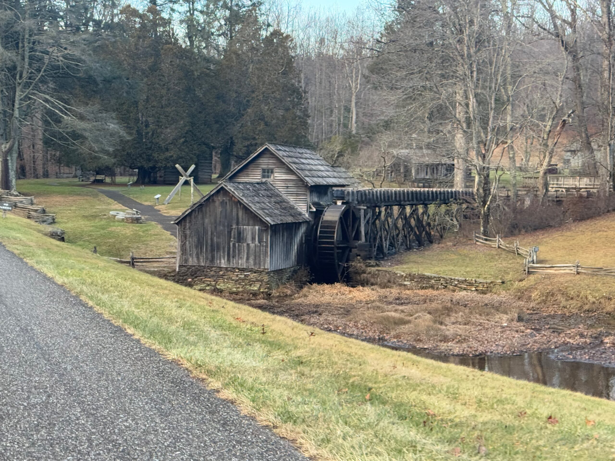
Day 3: deja-vu from the Tour Divide on the Blue Ridge Parkway
This day started out great with free, hot breakfast in Hickory … except that meant I wasn’t leaving until close to 6:45AM which meant morning rush hour traffic. Thankfully, I was heading the opposite direction of most it in the hilly northeast side of town. Still, there was enough traffic that I had to pull off several times. No rumble strip, but only a few inches (not feet) of shoulder to try to get out of the way.
Morning traffic gives way to hilly farmland
Eventually, I was far enough out of town that the traffic eventually disappeared to quiet farm roads. Also, the fog had finally lifted, the sun was out, and I had a NICE tailwind blowing me along up all the hills. And there were a bunch. Here’s how that played out … you’d be riding along the top of a ridge thinking that it was flat up ahead … only to realize the trees you see in the instance are on the opposite side of a steep valley … so flying down into the valley you go to then crawl up the other side for a mile or so before thinking you’ve finally made it to flatter ground … only to realize it is another illusion because the trees up ahead in the distance are again on the opposite side of a gorge at the same height you are currently on.
Still, with a tailwind and no immediate threat of rain, riding in the sun with shorts and short sleeves (still 50 degrees, though) and only a relatively short 182 miles to cover for the day, I was just on top of the world. My average speed was way up into the 14 mph range when I had to deal with a consulting emergency (ran out of disk space on a server I manage) by the side of the road. Well, specifically I had to facetime with my wife and step her through what to do with my computer at the house. We got that dealt with pretty quickly, though, 10-15 minutes and I was able to get rolling again. Thank you the incredible amazing Kristine!
This happened right as I was approaching a crossroads from two previous adventures. And I remembered from those adventures how hilly that road was. What I didn’t realize at first (but knew it had to happen at some point b/c Hickory is one side of the Appalachians and Roanoke is on the other side!) is that Google Maps had routed me up onto the Blue Ridge Parkway starting from that already hilly road.
climbing onto the blue ridge parkway with a long ways to go
I crawled my way up the 1100+ foot climb heavily loaded thinking that the BRP would not have any refueling spots (I was wrong b/c I didn’t know about a town called the “Meadows of Dan”). I had stopped at a true general store and bought some WD40 as I could not handle how loud my chain had gotten from all the mud and rain. It was a big can, too, and I decided to bring it with me the rest of the way in a side pocket of the backpack.
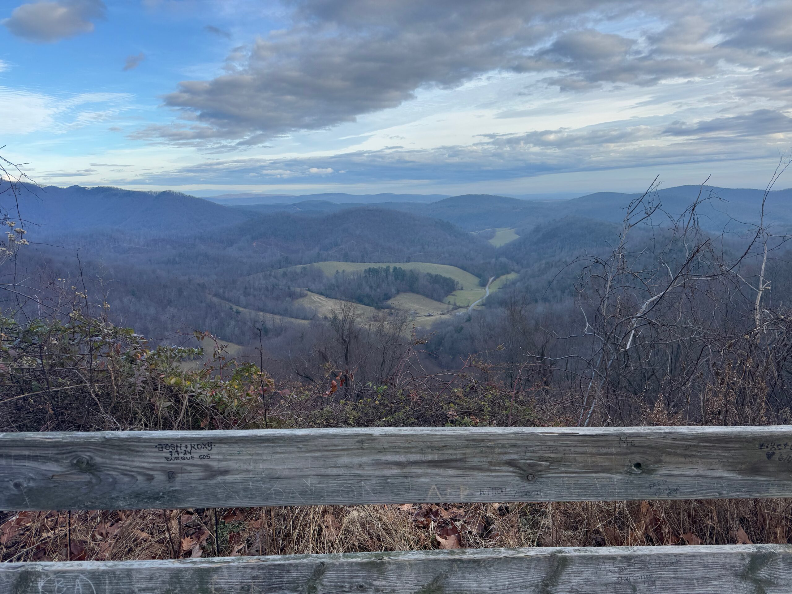
I talked to Kristine and Josiah on speakerphone as I approached the parkway as it wasn’t clear where the road I was on merged with the parkway. And Kristine was curious at the exact spot where I hit the parkway. So I called her there and my son answered the phone. The reason why it was unclear is because the road I was on stayed alongside the parkway for a while. We had a good time chatting for a bit as I was staring at 65 miles to go on the Blue Ridge Parkway … I told them I was hoping it was a tamer version of the parkway without any big climbs. And it absolutely was. It was all either up or down but the climbs were gentle and usually only about 300 feet of elevation difference.
The deja vu happened early as I went out of cellphone range and it got dark after sunset. I just had this extremely isolated almost panicky feeling after being near towns and traffic or at least farms all day that I would be alone on the Blue Ridge Parkway for the next five hours … probably without cellphone reception, too. This happened to me during the Tour Divide on the next to last day in what I still consider to be the hardest thing I have ever done on (or off) the bicycle. Of course, there were many times like this on the Tour Divide, but only that one where I was to the point of a panic attack of uncertainty linked above.
For this adventure and this ride, I realized how ridiculous it was as I had plenty of food, plenty of water, and wasn’t truly that far from anywhere. As it turns out, too, there were plenty of houses and side roads and even traffic using the Blue Ridge Parkway all the way to Roanoke. Still, though, that moment of panic was not fun – and this was only the second time I’ve ever felt that on any of my ridiculous biking adventures.
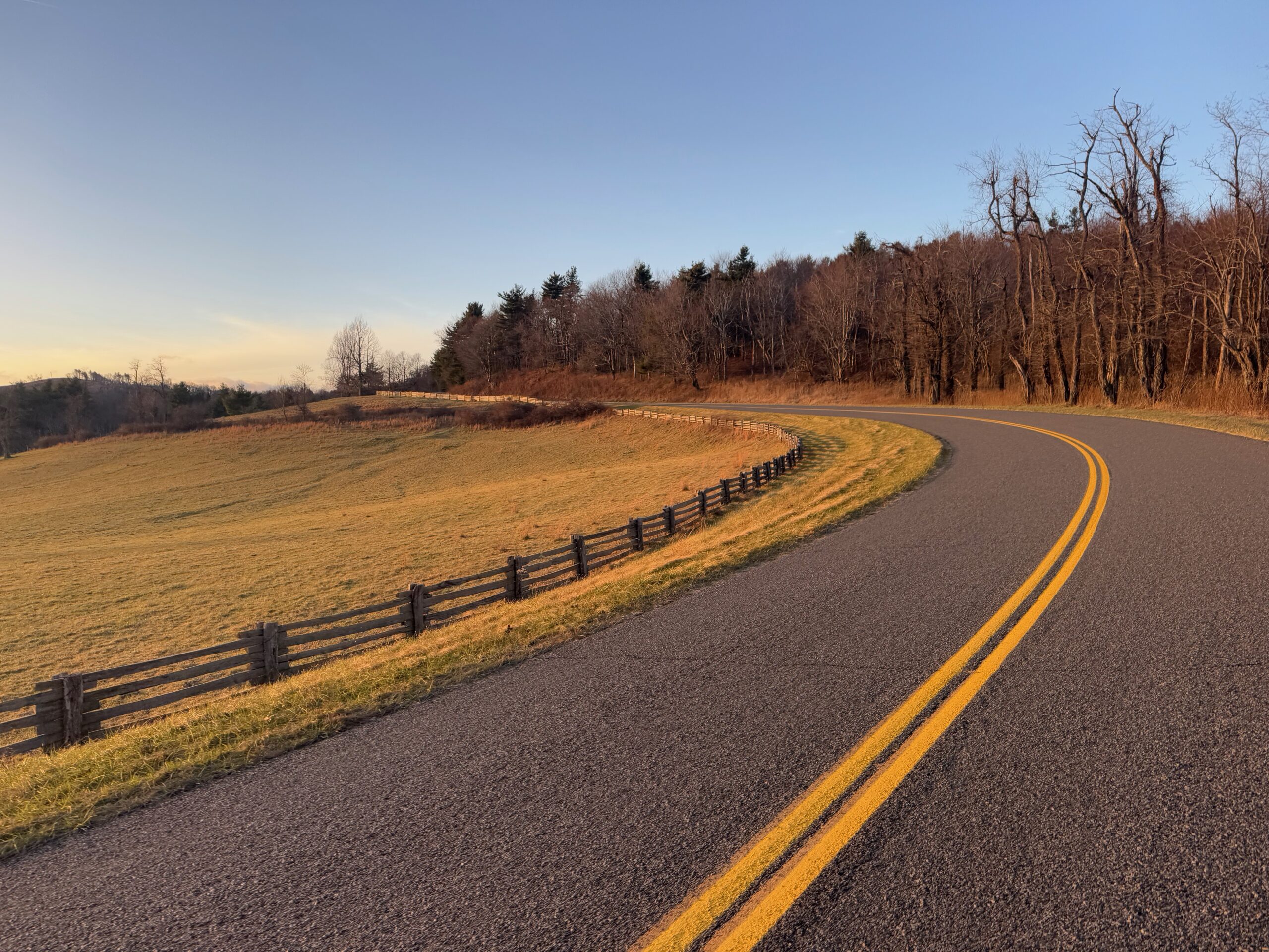
Google Maps had routed me off the Blue Ridge Parkway for a section a little more than halfway through (36 miles from where I joined it). I was trying to figure out why … but there were several overlooks in the section I was avoiding and it bent out of the way vs the straighter looking side road. So I kept counting down the miles to it as an intermediate point.
It was a rough gravel road for about half a mile leaving the parkway before hitting some classic, amazing Virginia chip/seal roads (they do it right up here). Unfortunately, it was mostly a descent, which meant mostly a climb back up to the parkway. Still, it was a fun diversion. I paid for it with another half mile of gravel climb to get back to the parkway.
Exiting the Blue Ridge Parkway is difficult
As it turns out, once I climbed back up to the parkway, I only had twenty miles to my turn to drop down into Roanoke. And, on top of that, there was a nearly 1500 foot descent to get to that turn. So those miles went by very fast. But what I didn’t realize is that Google maps doesn’t understand that some of the intersections don’t actually intersect the Blue Ridge Parkway. Instead, there is a bridge over the intersecting road, sometimes quite high. I still don’t understand what happened with the first “road” it tried to turn me onto. There was no road, trail, or anything there at all … just woods … between me and some houses which were built practically up to the parkway. I wasn’t going to go right through somebody’s backyard unless it was an absolute emergency, so I kept going down the Blue Ridge Parkway descent. At the next intersection, it was a bridge, again, with no access from the BRP. I saw there was another larger intersection coming up, though, so I went to that. And google maps happily re-routed me onto it … but again, it was just a bridge. This time, though, the BRP was taking a major turn, presumably up or around a mountain) with no more turns for several miles. And this was all past the hotel I was going to be staying at, so adding 3-4 miles to my route at least.
I hopped off my bike determined to make it down to the road below the bridge. I ended up cutting up my legs pretty good on thorns, tripping and almost falling which would have been bad given the steepness of the 25 foot drop down to the road below. But I made it through and onto the road. It was getting close to 9pm, so I was surprised at how much traffic I immediately ran into. I had no idea where I was, just following Google Maps directions through many neighborhoods. Eventually, I made it to the greenway which I had routed myself onto in my own planning on the much longer route I had abandoned and google maps apparently agreed for the last bit.
My hotel was again next to a Zaxby’s, which also closed at 9pm, but the drive-thru was open until 10pm so I just went through the drive thru line straight up to the window and was able to get an order in to take back to the hotel. The hotel clerk again decided to give me a voucher for free breakfast b/c I probably looked pretty ragged. Checked into the hotel with food to eat and only 100 miles to go on the final day!
As a side note, when I was down in the farmland about halfway through the ride with a 100 feet to 2 miles climbing ratio and knowing I had about 180 miles for the day, I figured I might have 8000 or 9000 feet of climbing for the day. By the end I had just over 12,000 feet of climbing! That somewhat “unexpected” climbing might be part of what was contributing to my panicky deja-vu feeling of “How am I going to make it through this?” Also, please remember that I was carrying a lot of weight … my road bike with all my equipment and charging battery packs (two 20,000 mah battery packs plus a third 10,000 mah battery pack) all on the bike, two Garmin head units, the Garmin Varia rear radar camera, two iPhone Pro max phones, one practically mini-laptop Montana 750i probably brought the bike weight up to or over 30 pounds. Then there was all my clothes and rain gear and all the wall chargers and charging cords stuffed into my backpack … and the large can of WD-40 … all that adds up to very slow climbing.
Day 4: Herding cows and flying into Staunton
A couple weeks ago when I was planning my route from Alabama to Virginia, I was cross-referencing wandrer.earth and aiming for as many new-to-me roads as possible. One of the new roads was Buffalo Rd climbing up from Buchanan towards Lexington roughly parallel to US-11 and I-81. I decided I would setup my bike with 700×28 tires and use some old puncture resistant tubes I had from years ago … specifically for this road, but also for all the other gravel roads I might encounter along the trip. It worked perfectly, except I didn’t expect to be herding cows along the road!
More on that later, first, I had to get from Roanoke to Buchanan during morning rush hour. It was the coldest of the trip so far with temps down in the mid 30s as I left. I quickly warmed up and found myself on some busy roads, but with traffic mostly heading the other way into Roanoke as I was leaving. Not too many miles into the route, I saw the first Bicycle 76 route sign, which meant I had hit part of the TransAmerica Bicycle Trail … 76 because it was developed in 1976 as part of the Bikecentennial celebration.
I’ve said this many times – riding a bicycle is about as close to a time machine as you can get. In 1976 there were hundreds, possibly thousands, of cyclists riding across the country or at least different sections of the country celebrating and experiencing this country via bicycle. And here I was nearly 50 years later, riding some of those same exact roads.
I had unknowingly routed myself along a large chunk of the 1976 route simply by using google maps bicycling directions during my planning. The roads were fantastic. Pretty hilly leaving Roanoke, but eventually finding its way and following alongside the main rail line meaning that the route became quite a bit flatter with long gentle climbs or gentle descents. Each time the road had to leave the tracks, there was usually a climb or descent or river to cross. There was very little traffic … especially relative to my normal riding.
I stopped at a gas station early to get some coffee and warm up, breaking out my hand warmers to use in my gloves and stuff into my shoes. I chatted with a number of people who came into get coffee plus the clerk working there. Super friendly people that were amazed I had ridden there from Alabama this time of year … but it also wasn’t so surprising to them because that gas station was on the Bike 76 route, so they probably do get some long distance riders every now and then.
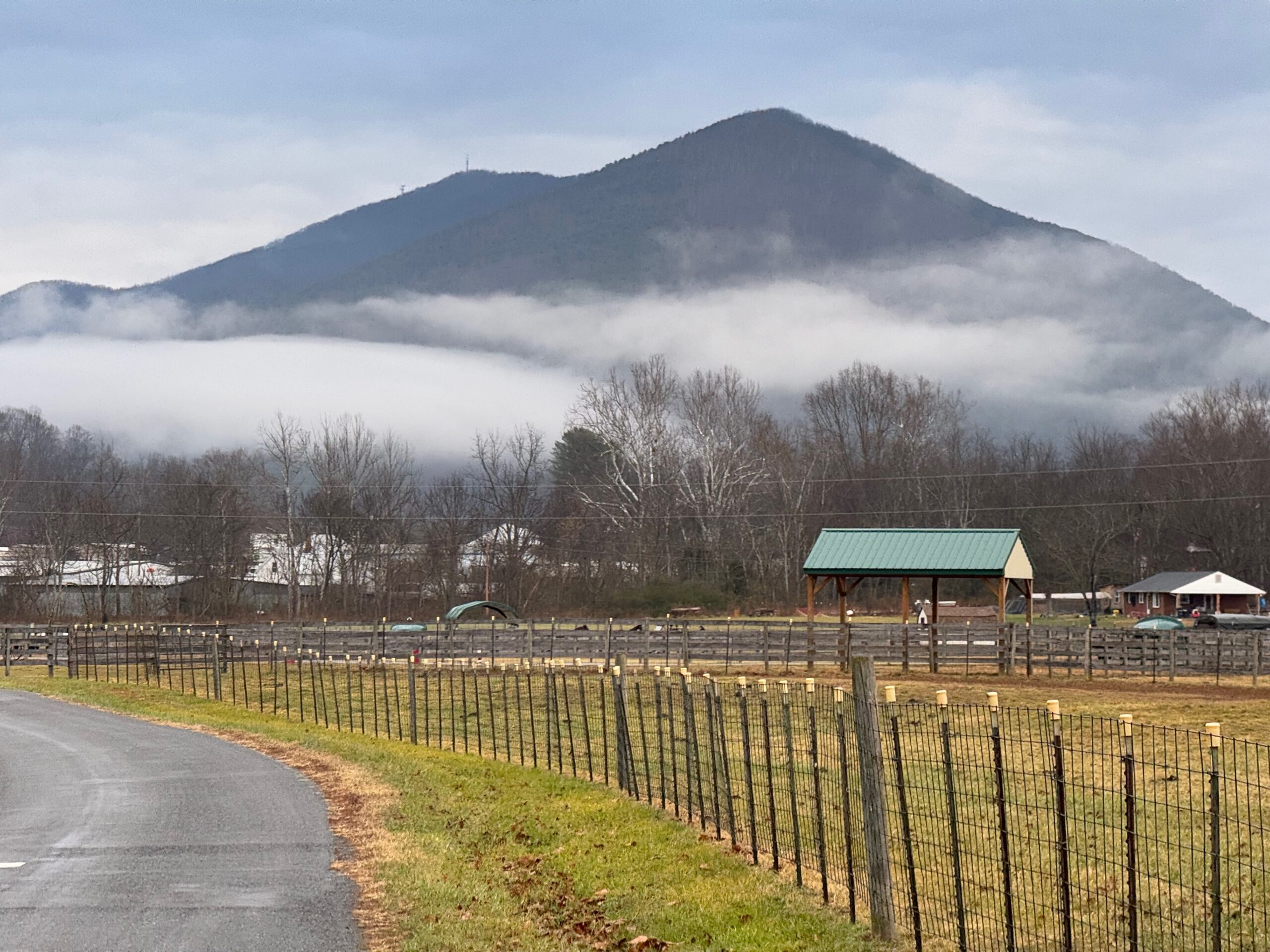
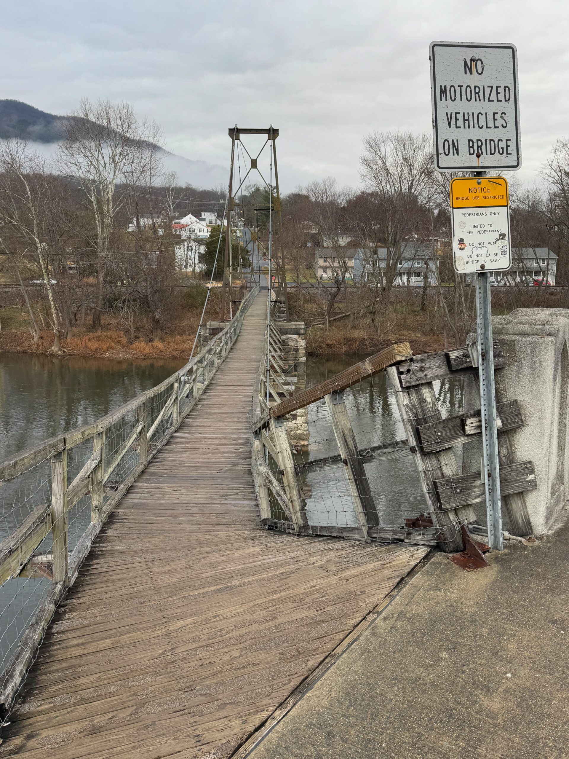
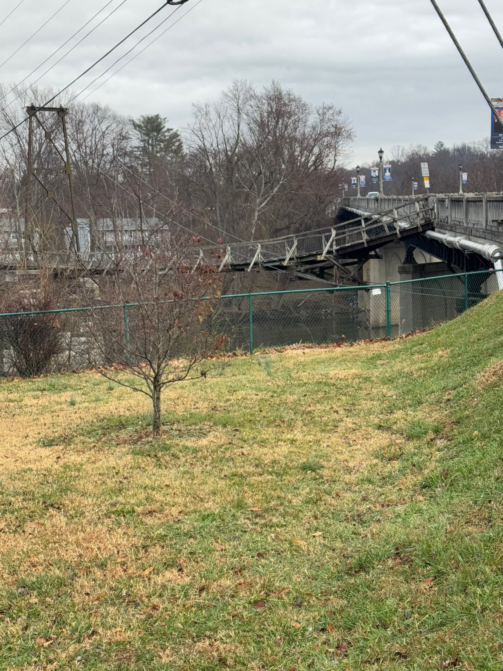
After the gas station, the route just got better and better with high trestles I would ride under before climbing back up to a road parallel to the tracks several miles later. Eventually, I made it Buchanan, Virginia where I had noticed was a swinging bridge that I had missed the last two times I had ridden through the area. This time, I wasn’t going to miss it! It was a long, narrow bridge over the James River. And it was slick from morning fog and a little bit of light drizzle that had just come through. So I had to hold onto the side and shuffle my way down the steep, off-chamber entrance from the sidewalk and then was able to ride across once I made it past that section.
My route then left the Bike 76 route which continued east of Hwy 11, whereas I turned left onto Greyledge Rd, which would eventually turn into Buffalo Rd. One of the things I noticed through here and other earlier roads is that George Washington National Forest would cover tiny strips alongside either side of creeks/rivers that roads would follow. So technically the creeks and rivers were public land (national forest), but they were plastered mile after mile with no trespassing signs. Presumably, the land leading up to the creek was privately owned. I, of course, had no interest in the creeks but did find it interesting this interplay of public/private land. There was occasionally an access point that looked public seeing on “special use” sign. There were also interesting little bridges every now and then across the creek with no discernible trail from the road to the bridge. So I was wondering if this was a hiking trail that stayed literally on the banks of some of the creeks and would cross over at different spots.
Finally, we’ve made it back to the cows. Greyledge Rd climbed alongside one of the creeks I just described with large plantation like farms sitting on many, many acres of land. Eventually, there was a turn to go to a community called Greyledge that looked like it was several large plantations around a lake. This is probably where the name of the road changed when I went left to become Buffalo Rd.
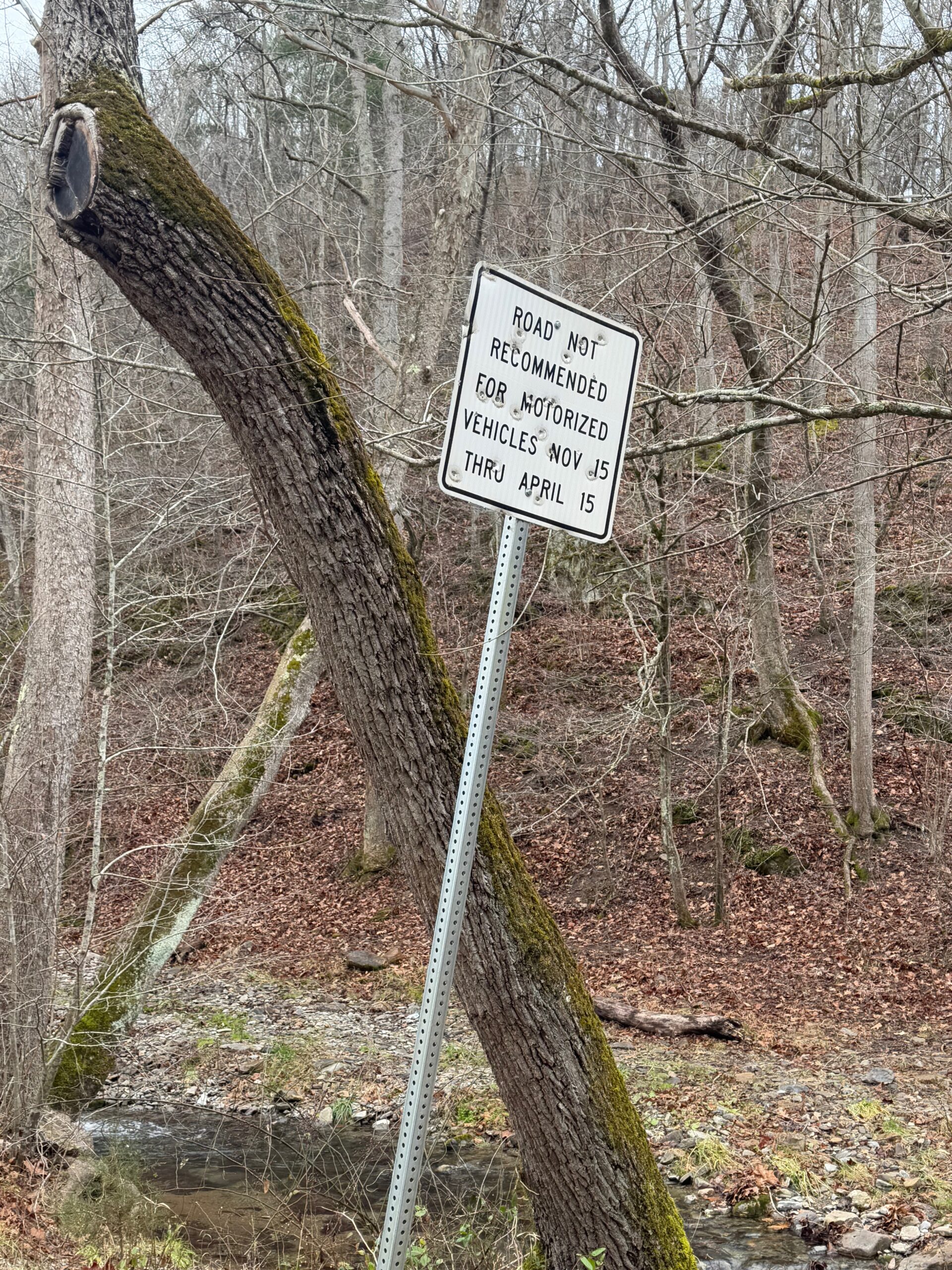
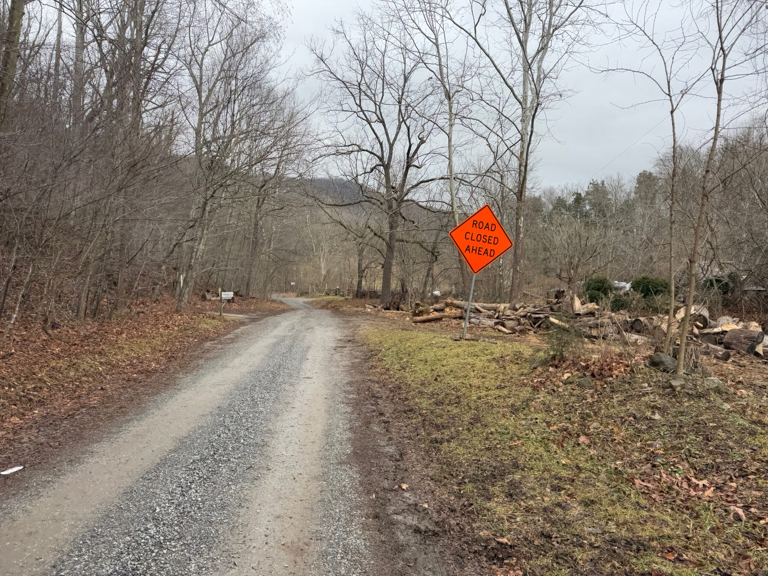
A mile or two later at the spot where the road changed to gravel was the sign in the left picture above, indicating travel not recommended from November to April. The “Road Closed” sign in the right picture looked temporary and was only a few hundred meters along the gravel road. I worried this would be a repeat of the peanut butter mud, bridges out, or landslides. But I was so intrigued by the good gravel road that I didn’t give turning around a thought at all.
Shortly passed the road closed sign was the first of many creek crossings. Keep in mind – 45 degF and a long ways to go – I found a way to walk across the creek on some rocks although it looked plenty shallow and easy enough to ride through. If anything went wrong, I would be submerging my shoe in 8-10 inches of water … well above sock line meaning I would be riding the next 2 hours with very, very cold feet. It wasn’t worth the risk to me.
The next creek crossing had less water. The one after that had no water, but instead it was full of cows. See earlier video. There was a fence off to the left and steep hill to the right so I wasn’t sure how long I would have to follow them. There were some spots for the cows to go back into their field, and I would lose one or two at each opening. But three stubbornly kept going for probably a couple minutes of slow riding.
Eventually, they were all gone, and I was back to crossing dry creek beds and riding surprisingly good gravel for an unmaintained winter road. This whole road was a 450 foot climb, which apparently crossed into a different basin b/c I went from a dry creek back to full creeks again. The widest and deepest was still rideable, but again I wasn’t going to risk screwing something up and submerging my feet given how many hours I had left to ride. But this crossing was wide enough that even going up the creek off the road wasn’t providing great crossing opportunities as documented in the video above.
VMI bike paths and cadets
Eventually, I made it back to pavement, rolling hills, and a couple miles later … traffic … as I made it into the outskirts of Lexington. I had only ridden through Lexington one time before on a commute from Birmingham to Staunton for Thanksgiving, and I had pretty much just gone straight through town on US-11. For this route, since it was going to be a short day, I had routed myself through a greenway I found, followed by a tour through the middle of Virginia Military Institute.
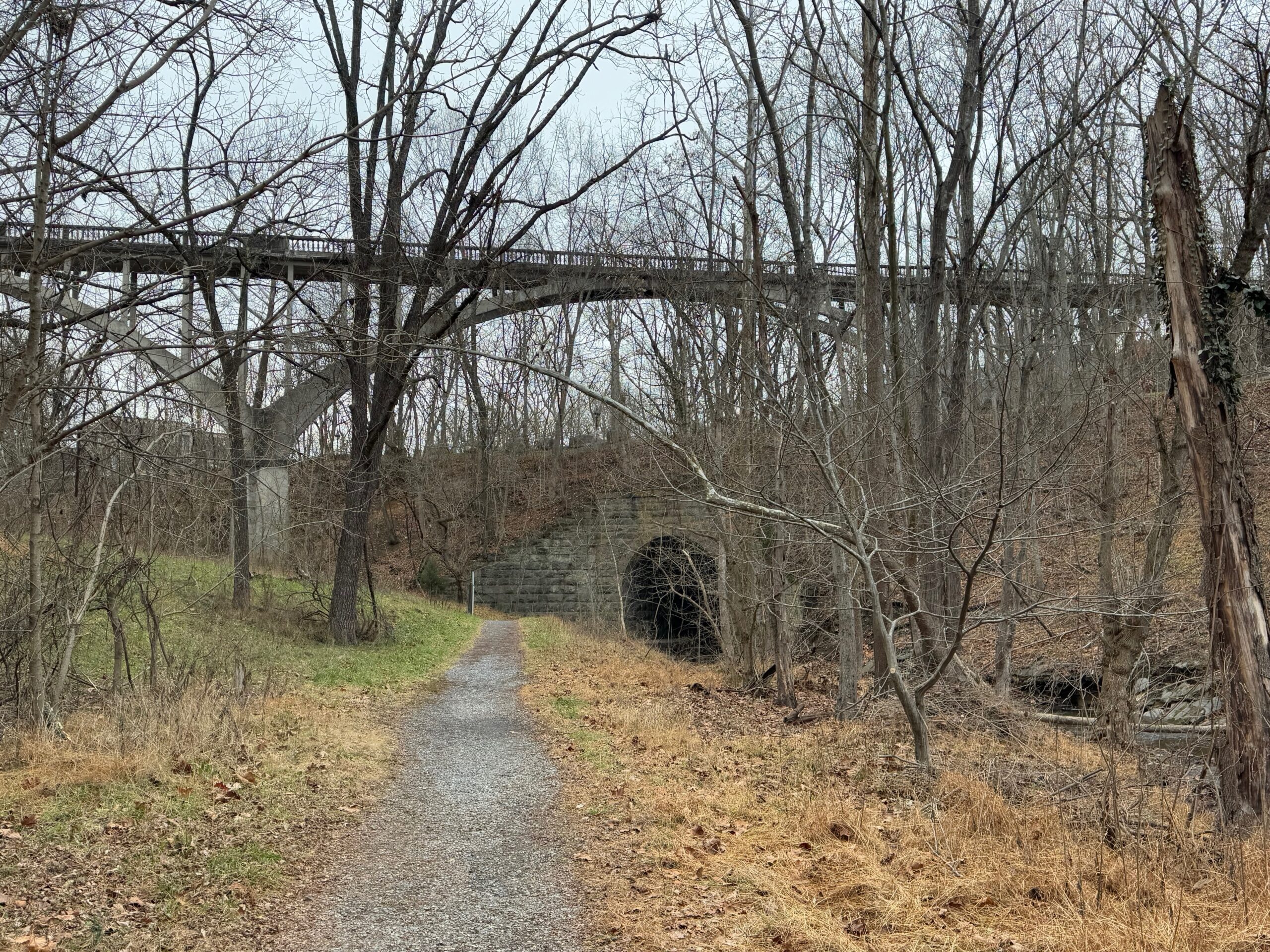
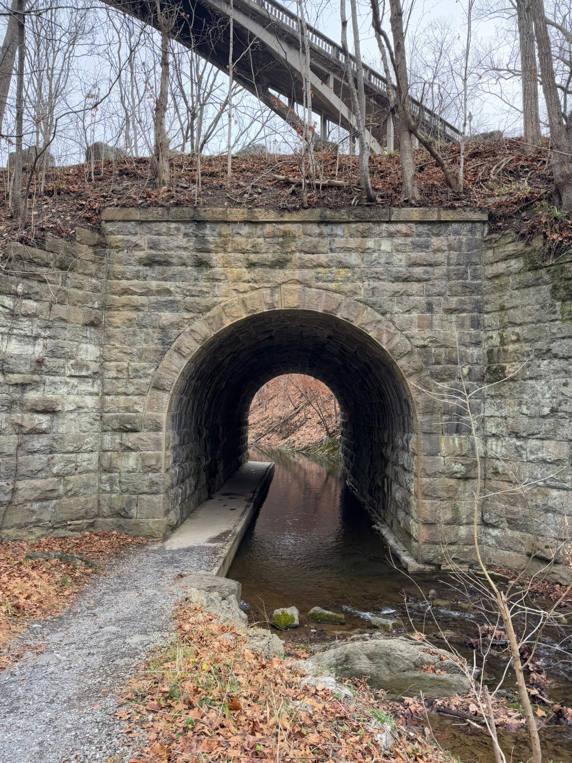
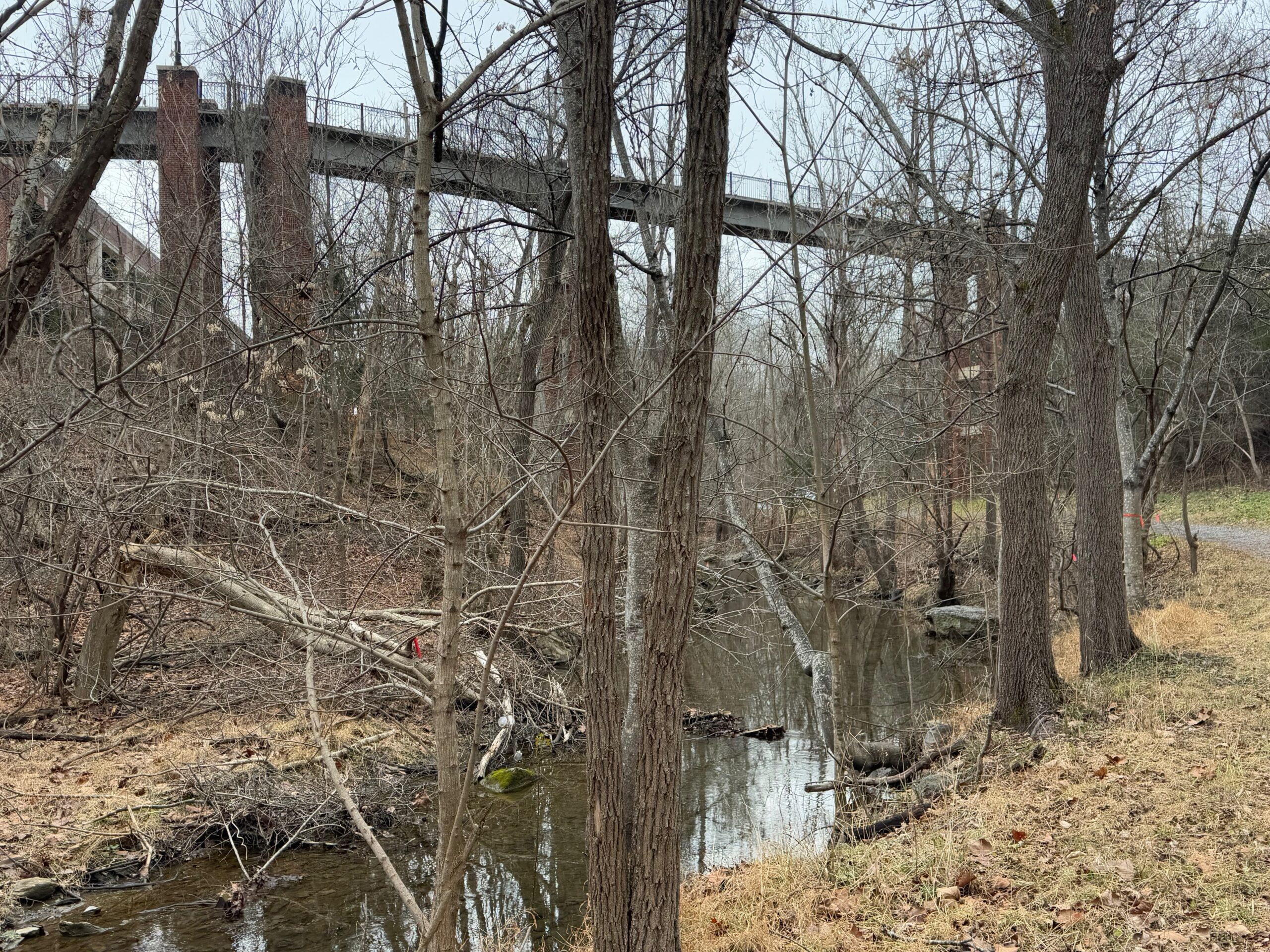
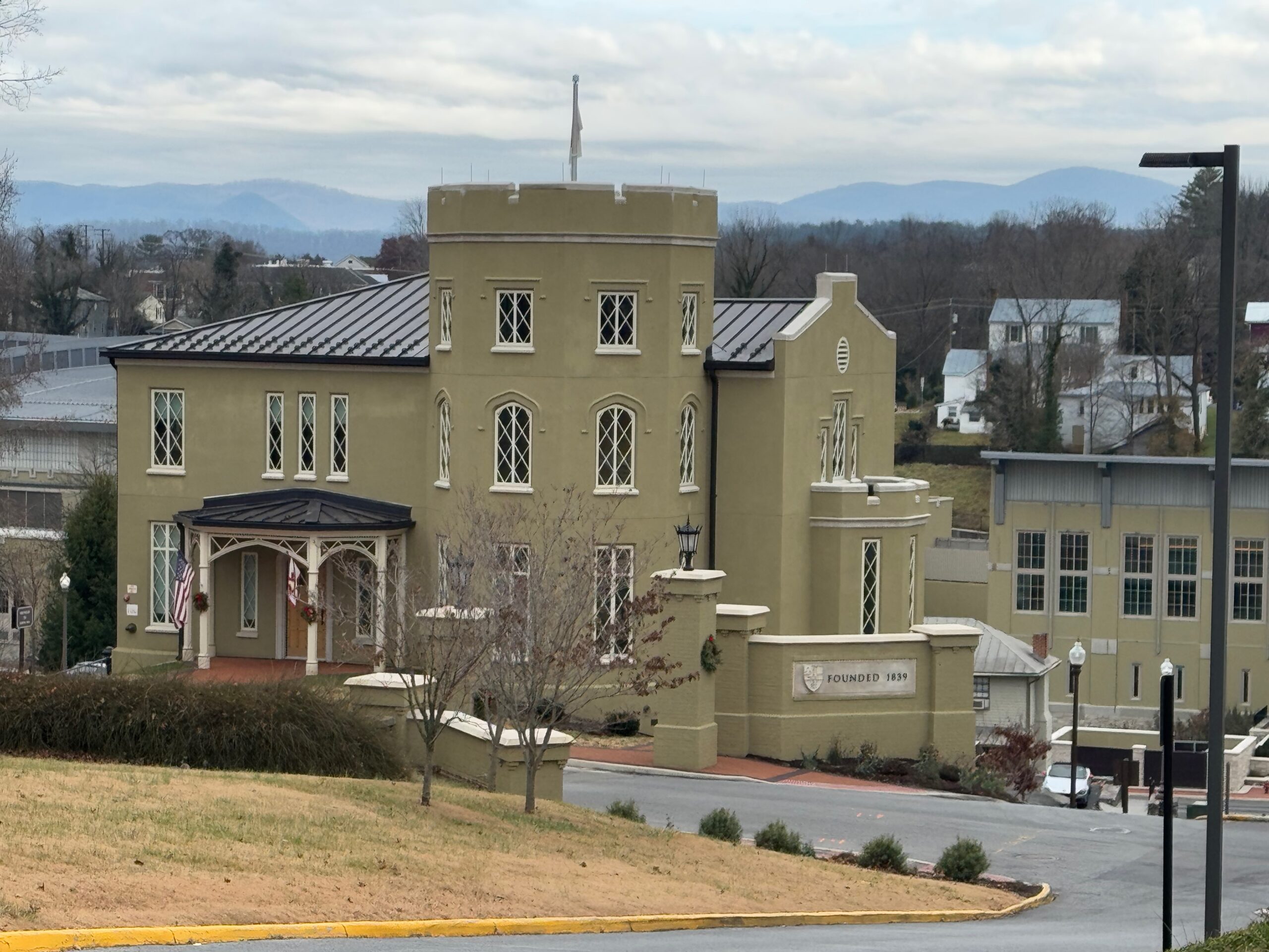
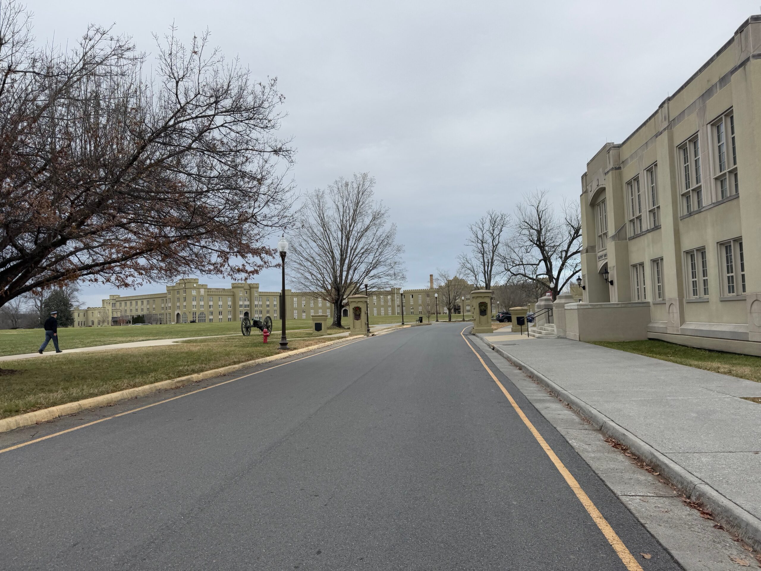
The greenway was gravel, but easily rideable and followed Woods Creek before feeding into the fairly large Maury River. This creek cuts a pretty deep gorge, so Lexington / VMI invested in VERY tall bridges to keep the campus walkways relatively level to connect opposite sides of the gorge as you can see in the pics above.
The greenway ended on the edge of campus. After a steep climb, I found myself overlooking the main entrance and a nice view of the Blue Ridge and turning into the central part of campus. I expected it to be deserted, but after I made it around the corner in the bottom left pic above, there were cadets everywhere. It looked like they were packing things up, so possibly the term was just ending and they were getting ready to go home for winter break?
After crossing the main highway, I found myself back on the Bike 76 route for a short bit before it turns right to climb up to the Blue Ridge Parkway and make its way over to Charlottesville and eventually Yorktown on the coast. I needed to cross over the other side of I-81 and make my way up and across a ridge that surrounds the southwest side of Staunton. This was again a gravel road, but it was a much faster, smoother one I took at full speed with the excitement of almost being there.
The only problem was I had no clothes waiting for me in Staunton, so I needed to run by Walmart to by some clothes. With Walmart being in one of the busiest areas out of town and me making it there around 4:15pm, it was a bit of a mess. I found some cheap pants and a shirt named George and took off to make it to the running store to buy some shoes. I figured rather than spending $30 on a cheap pair of shoes, I would go ahead and buy some replacement shoes for my work shoes which are now quite holy after more than a decade of use.
Luckily, the Sole Focus running store was open until 5 and had my shoes in my size. Also, sales tax is so cheap here in Virginia, 5% I think, compared to nearly 10% back home I saved $8 or $9 just on tax alone. But more importantly, I had shoes I could walk around town in, instead of my winter bike boots. This shop was only a couple blocks away from my daughter’s apartment, but my bag was completely full of all my cycling clothes I had brought as well as the new clothes from walmart, that I had no room for the shoes. I ended up just carrying them in my left hand without the box while riding the two blocks to her apartment.
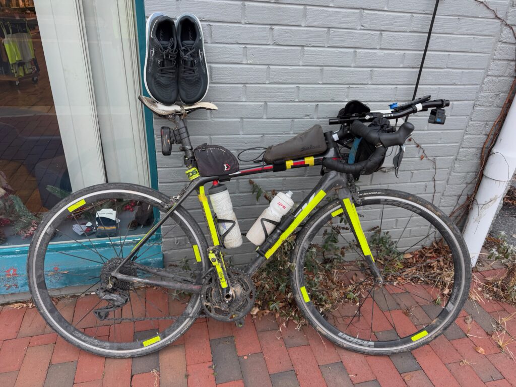
Finishing Arkansas 20 Oct 2024 6:48 AM (last year)
After 22 rides covering 4,347 miles and 173,193 feet of climbing across 130 counties in 10 different states, I have finished riding in all the counties in Arkansas! Just under 2,500 miles of those rides was within the state of Arkansas. Yes, that’s right, I did 22 rides that had at least some small part in the state of Arkansas, but those rides may not have started in Arkansas. One 350 mile ride started from my house in Alabama. Another 400+ mile ride went through six states (MS, TN, AR, MO, IL, and KY).
Also, highlighted on the map is a section of Crowley’s Ridge that I crossed twice on what was supposed to be a 275 mile ride earlier this year in January, but cut short to only 140 miles starting from Marked Tree, where I immediately had problems not finding a good place to park. Then I set out into a nasty headwind with the temps hovering just above freezing. I had classes starting the next day so I was on a very tight time schedule to get the ride done. I fell way behind my timing and was just plain miserable in the cold so I decided to cut it short and enjoy what was left of the ride rather than stressing about making it back in time for classes. In the dark well before sunrise, I got a Garmin notice of an upcoming climb, which totally caught me by surprise as I had been riding on table-top flat farmland for several hours. I had made it to Crowley’s Ridge, a long 200-300 foot ridge that runs through east central Arkansas crossing the state from Missouri down to the Mississippi River at St Helena. The climb was a nice break from the cold headwind before dropping back down into more cold headwind in the flatlands on the other side of the ridge.
Fast forward later in the year to the weekend before the Fall semester began in August, I decided to head out to Arkansas on a 550 mile route that would take me through the remaining counties of Northwest Arkansas that I needed to finish my goal of riding in all the counties in the state.
Unfortunately, it rained a lot on the second day, and I decided to cut the ride short to avoid some dirt roads that I thought might have turned to mud. Plus, I was ready to be done with all the rain. So I ended up missing three counties as I deviated from the original path.
This past weekend for my fall break, I charted out a new route that would take me through those three missing counties AND a bunch of counties in Missouri and Oklahoma. Weather would still be a factor with the temperature heading up into the 90s on the first day in the middle of October followed by a dry (no rain) cold front arriving over night with freeze warnings popping up on my Garmin. The temps made it down into the 40s by morning but warmed up nicely into the low 70s during the day before falling quickly down towards freezing by morning. This blog documents that adventure.
TLDR summary
It ended up being an amazing 558 mile ride through the Ozarks towards the beginning of beautiful Fall colors over 48 hours. It was only 36 hours total moving time as I had an extended hotel stop in the middle (sleepy after a long drive with no sleep) and then the normal stops during the course of all-day riding. Still, 558 miles over 36 hours riding is only 15.5 mph, a little bit on the slow slide because there was a TON of climbing … nearly 5000 feet more than ridewithgps estimated! Total climbing was almost exactly 36,000 feet of climbing with nearly 19,000 feet on the first day and over 17,000 feet on the second day. This elevation split between the days was also unexpected because all the big climbs and high elevation through the heart of the Ozarks was on the second day. The first day started in the Ozarks but then went north into the foothills through Missouri, which is where the majority of the climbing happened. It felt like there was not a single flat stretch of road in Missouri.
Completing the ride with no deviations from the route I had planned meant that I finished up the final three counties for my goal of riding in all the counties in Arkansas. I started the ride with a new county (Searcy), but did not ride through the last two counties (Boone and Marion) until over 500 miles into the ride on my way back to the start on Day 2. Here is my completed Arkansas map with the final three counties labeled. You can also see on the map my previous failed attempt to finish those counties in the area and how I deviated south on that ride.
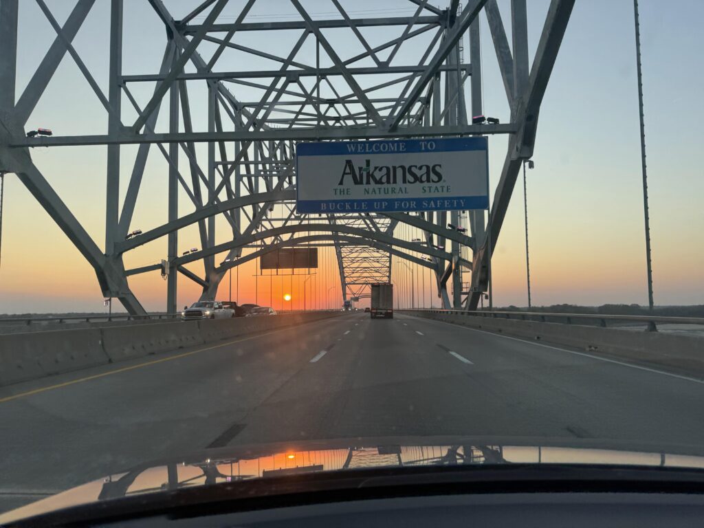
Long drive to start this final county adventure in Arkansas
Back to this current adventure: the drive from Birmingham took nearly 10 hours with me having to stop and charge the car three times to cover the nearly 500 mile drive (one way) to Marshall, Arkansas in Searcy County – one of the 75 counties in Arkansas I had never ridden in.
Initially I had planned to park at the high school, but I couldn’t find it. I was also a bit concerned that they might not have Monday off as a holiday, and I didn’t want my car to get towed. So I turned around and parked at the edge of a deserted grocery store parking lot. At the EV charger in Little Rock, I had prepped everything to ride, so it was pretty quick to pull the bike out and start riding just before midnight on Saturday night.
I had thought about napping in the car before starting the 290 mile ride to Vinita, Oklahoma, but I was pretty wired up and ready to go after my drive. So I opted to start about an hour earlier than planned so I could finish earlier and sleep longer at the hotel at the midway point of the ride.
Hot and cold and a drunk
It was still quite warm when I left and I was worried given the timing that I would run out of water with no place open to refill. But I would soon discover that it was quite a bit cooler down in the valleys. Still in the 60s, though, so no need for any of the extra clothing I had brought.
I had routed myself through Mountain Home with several 24 hour gas stations available, but I couldn’t remember whether they were 24 hour and my cue just said “gas” instead of “gas24”, which is what I normally put for 24 hour stations. I was on a highway that would have taken me right to the Syllamo Trailhead where Kristine, Josiah, and I had driven to watch the eclipse earlier in the year. But I turned about 20 miles before that spot and went down a different valley instead of the White River valley to head to new counties.
That turn, though, put me on a recently repaved state highway that had been chip-sealed with lots of loose gravel still all over the place. It was quite rough given that cars had not driven in the “chips” yet. I saw the “loose gravel” sign attached to the bottom of the “Mountain Home 30” sign and thought, “this is going to be rough”. And it was, but only about 15 miles or so, before I made it to the older chip seal which was well worn in and not too bad. Still, it wasn’t great, and I was only 50 miles into a 560 mile trip! So I was a bit worried about an early flat given all the sharp gravel and STEEP hills. This was pretty far into the Ozark National Forest and it was constant up and downs. I was hitting mid 40s on all the descents in the dark unable to dodge any kind of rocks at that speed and given how low I keep my headlight to make the battery survive long enough.
When I finally made it to Mountain Home, I stopped at a gas station that did turn out to be 24 hours, at about 3am to use the bathroom and refill water and I heard this loud guy come in who sounded very drunk. The clerk said he couldn’t bring “that” in here (no idea what she was talking about since I was still in the bathroom) and I heard him say I just wanted to show you how bad I had crashed.
She warned me after I came out a couple minutes later that there was a drunk guy on an electric scooter riding around outside and to watch out for him as he had just crashed hard (“ate s$@#!” were her words).
I kept an eye out but saw nobody. Mountain Home is fairly large city for the area and not too long after leaving the sprawl, I had crossed over into Missouri and traffic had started to pick up a bit (given that I hadn’t been passed by anyone in many, many miles).
By 5am, I had made it 100 miles to Theodosia, Missouri and the temp had dropped into the lower 50s, which was cold enough given the fatigue and sleepiness and low heartrate that I stopped at a post office to put my arm and knee warmers on. I immediately went down a few steep hills where it was significantly colder, thankful for the warmer clothes, but then proceeded to climb up on a high ridge line where the temp was way back up in the lower 60s. Uggh. I was tired, though, and rather than taking off the clothes I had put on, I just decided to cruise at a bit lower pace and enjoy the spectacular sunrise vistas of the fall colors of the Missouri Ozarks keeping the warmer clothes on until my next stop at a gas station above the White River which had snaked its way back onto my route.
HEAVY Sunday morning traffic
It was 630am on a Sunday morning, so I wasn’t too worried about traffic … but I should have been. Cars were nice, but it was a steady stream of fast cars from the river all the way to Branson, Missouri which I made it to at about 7:30am. Branson is still in the Ozarks and quite hilly with the White River and tributaries carving deep canyons. By 8:30am when I made it to “Branson West”, traffic was awful. Nearly constant groups of cars on a two lane state highway with a weird shoulder that was sometimes perfect with no rumble strip and sometimes had a wide rumble strip taking up the shoulder or there would be no shoulder at all and the rumble strip would extend to the inside of the white line making me ride over farther into traffic, which was patiently waiting to pass. Still, there were short gaps in the groups of cars so it wasn’t one long line of cars behind me until I made it to some road construction where a second highway had been detoured onto the one I was on. So two highways worth of traffic on one sometimes narrow road, which eventually joined the main highway from Branson to Springfield, MO. Finally, I turned to head west whereas most (but not all) of the traffic continued north towards Springfield. It felt like an eternity but this stretch of bad traffic was only about 10 miles long taking about 40 minutes with me having to stop and wait for traffic backing up quite far from some of the lights. And given how cars were having to wait for me at times and nobody honked or passed angrily (close, fast, and/or loud), there was NO WAY I was going to pass them back at the light as I cannot imagine how irrationally angry that would have made a non-zero number of people.
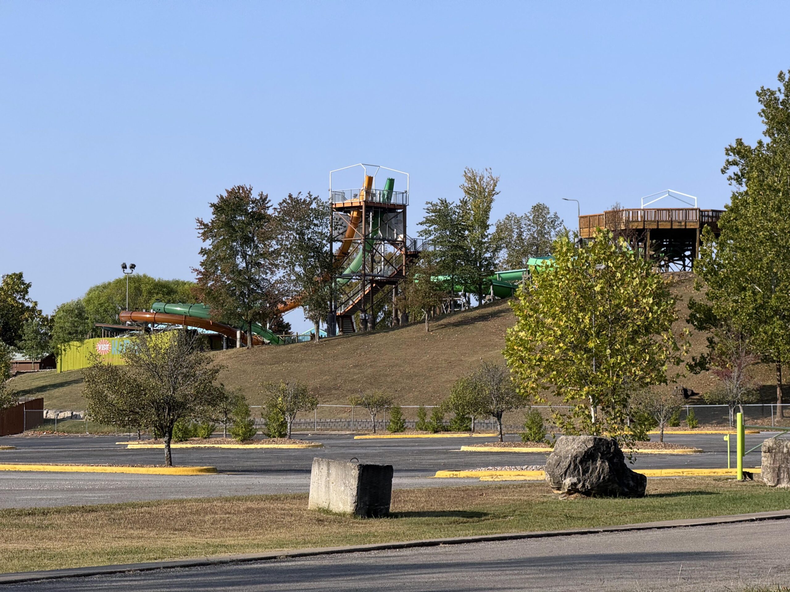
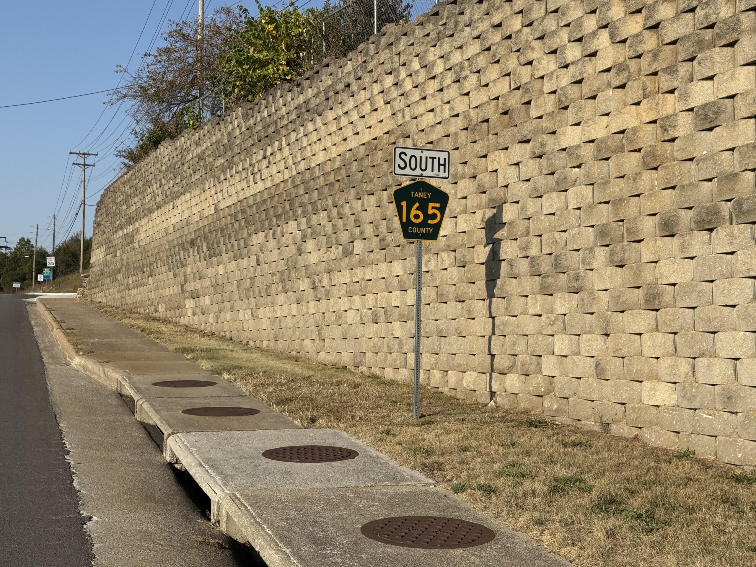
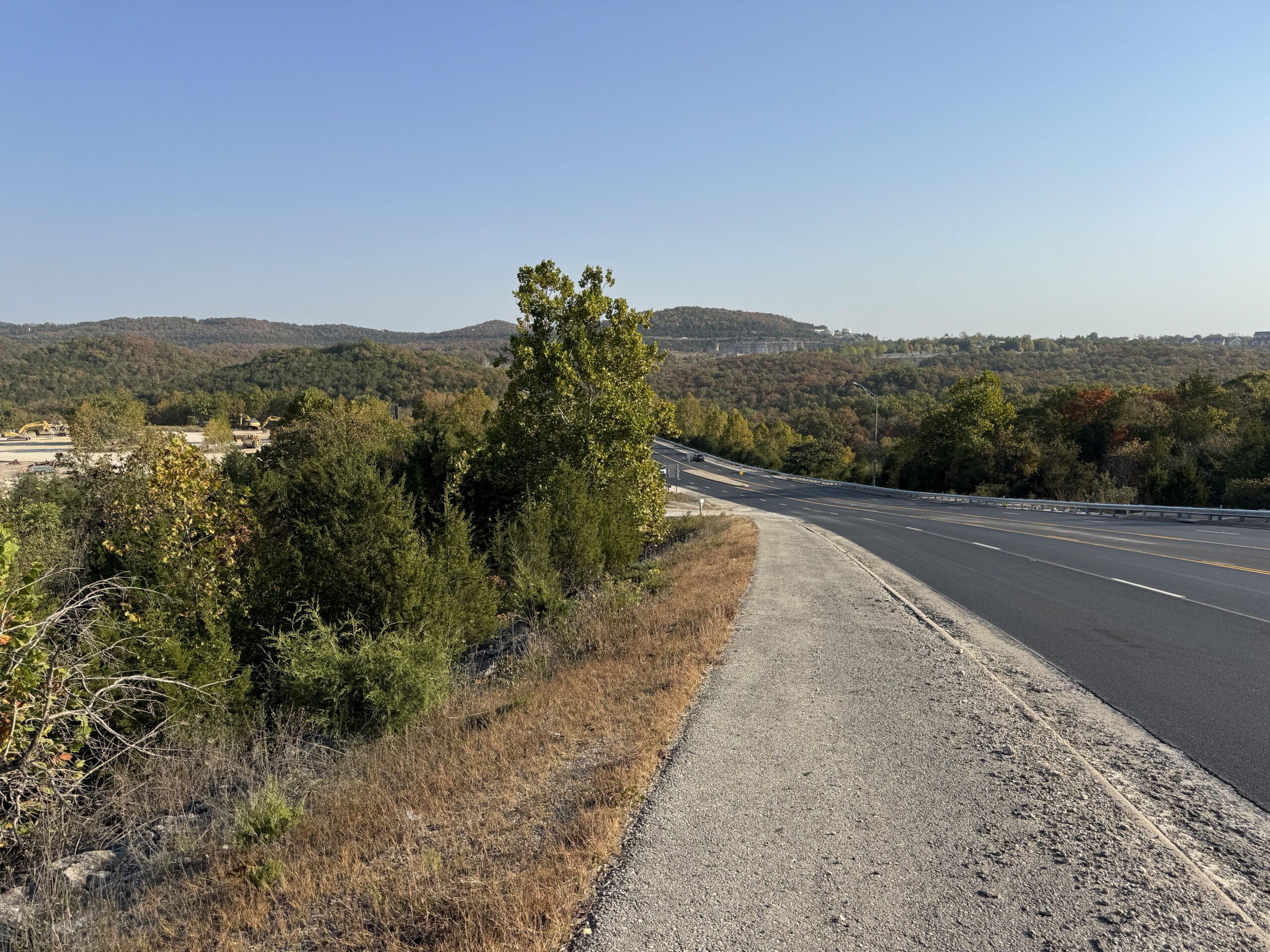
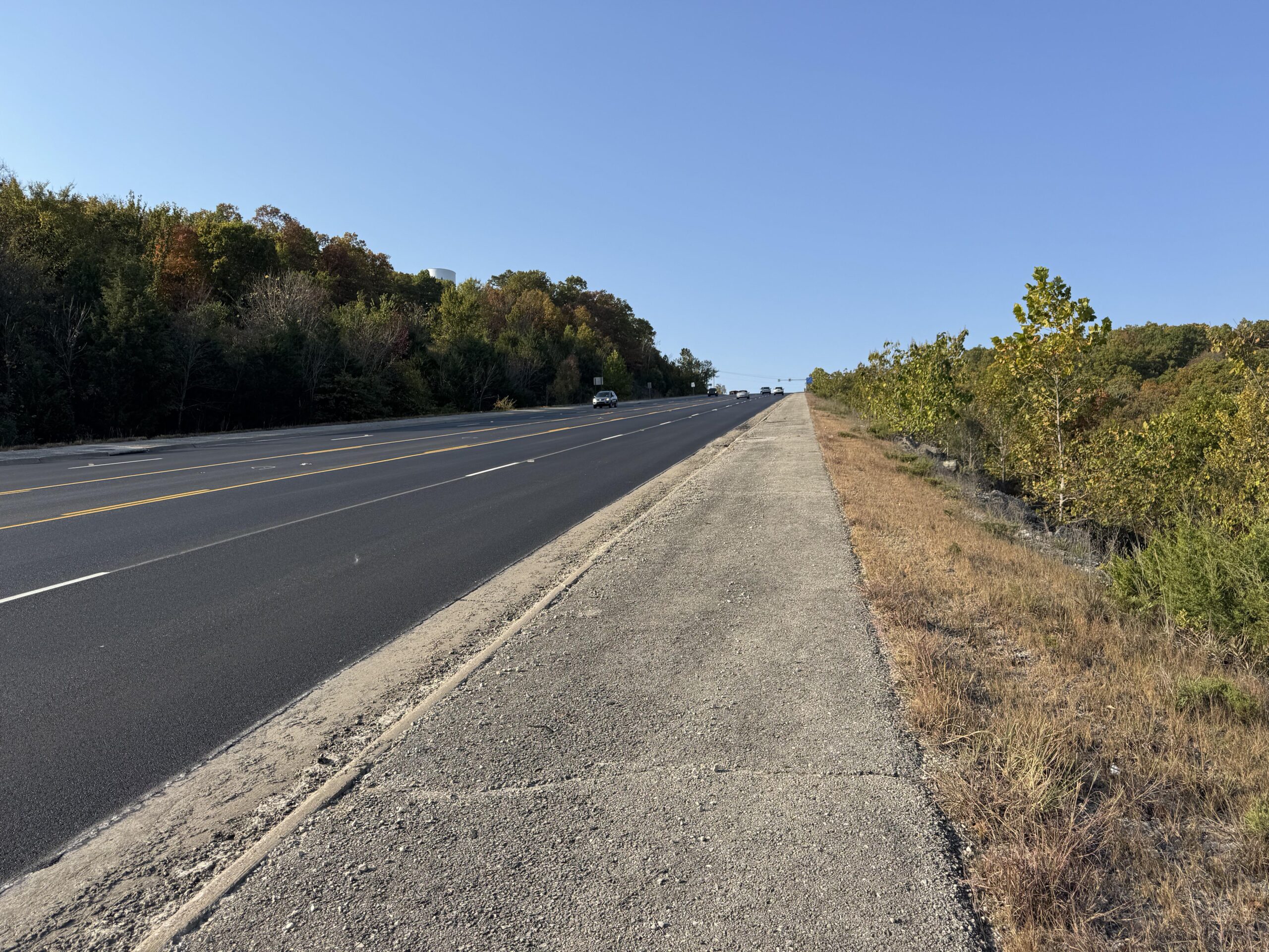
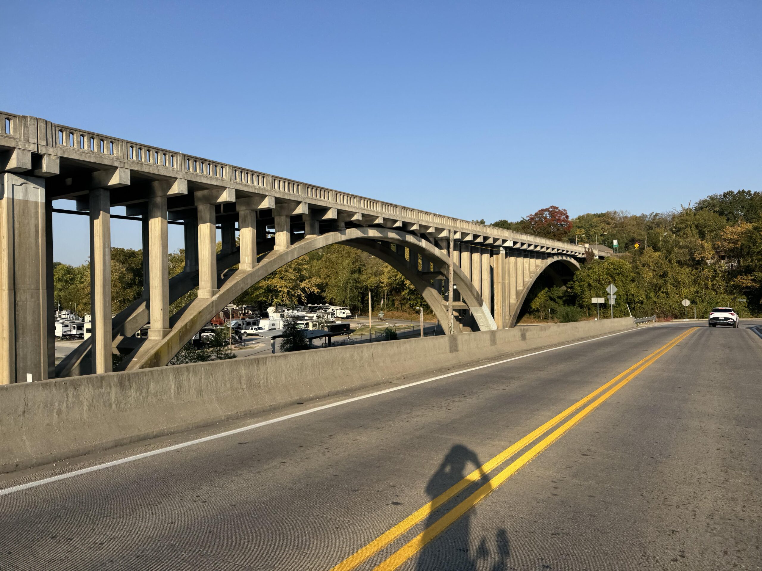
Eventually, things did settle down. It seemed like I would never make it to Oklahoma, as I had been fighting a heavy cross-wind turned headwind any time my route veered north as I started to lose the forests of the Ozarks into more wide open farmland and smaller hills. As I approached sunset I found myself riding straight into the sun for several stretches, but thankfully as I crossed into Oklahoma the roads had nice wide, rideable shoulders all the way to my hotel in Vinita, Oklahoma.
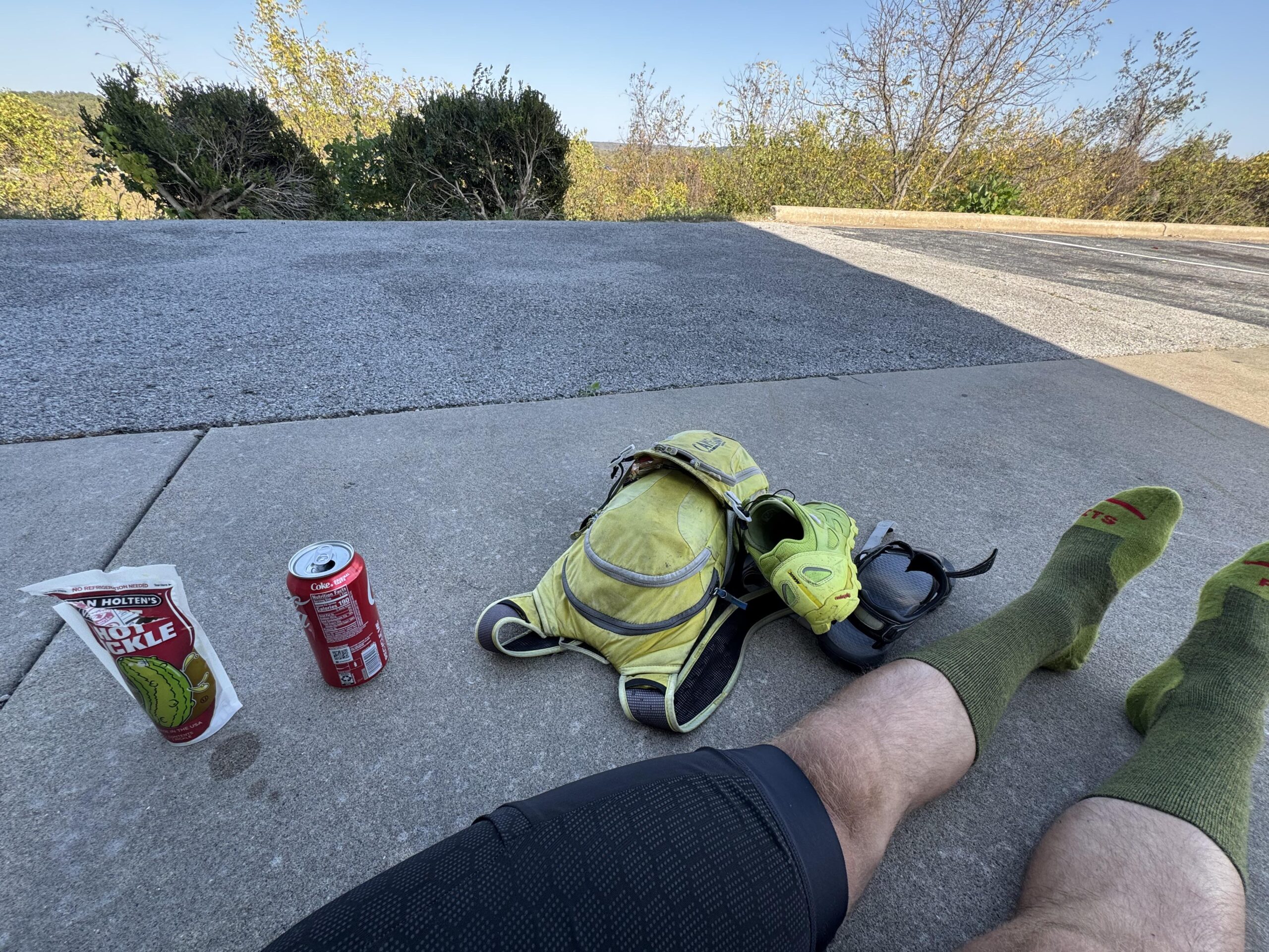
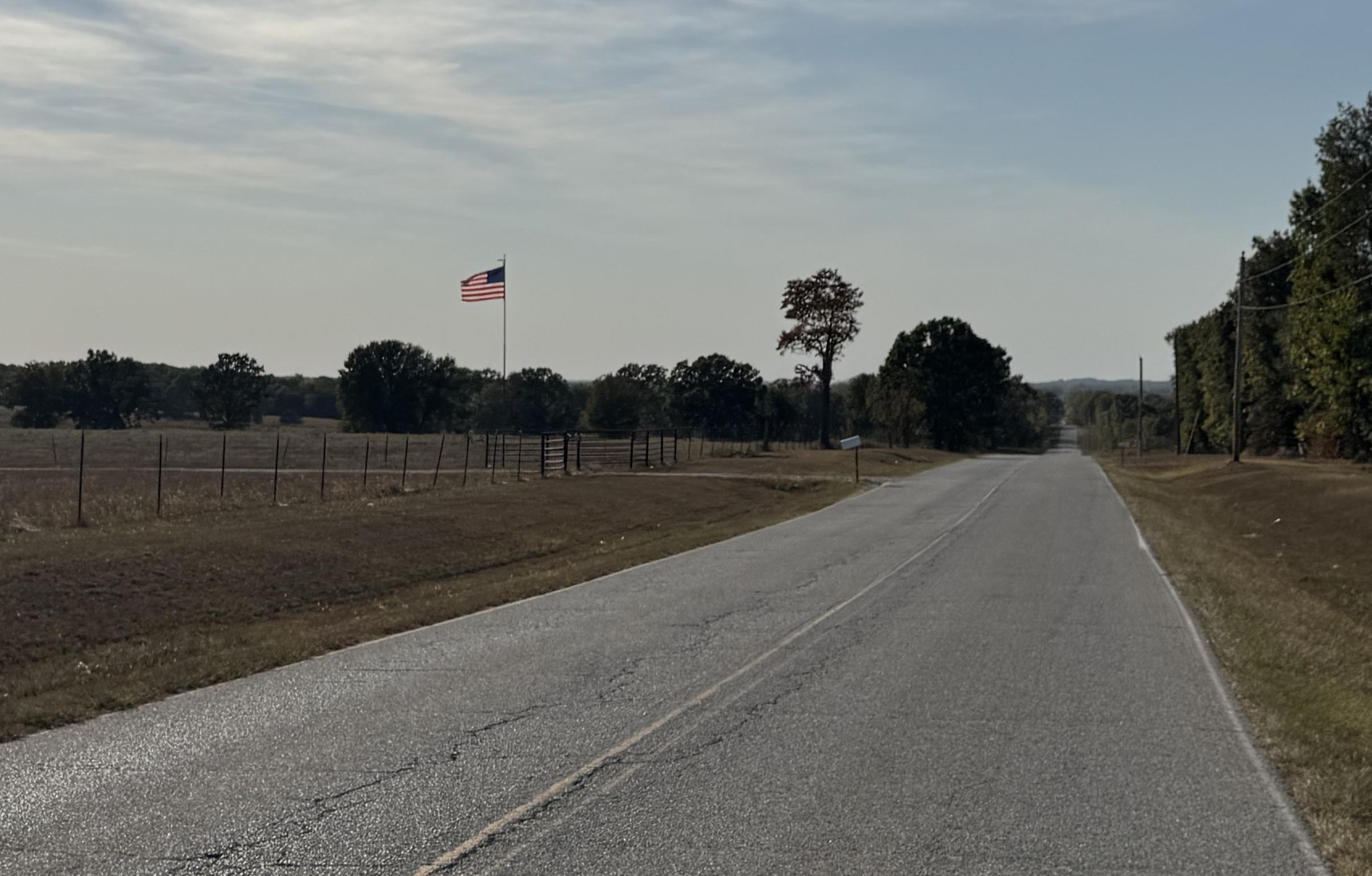
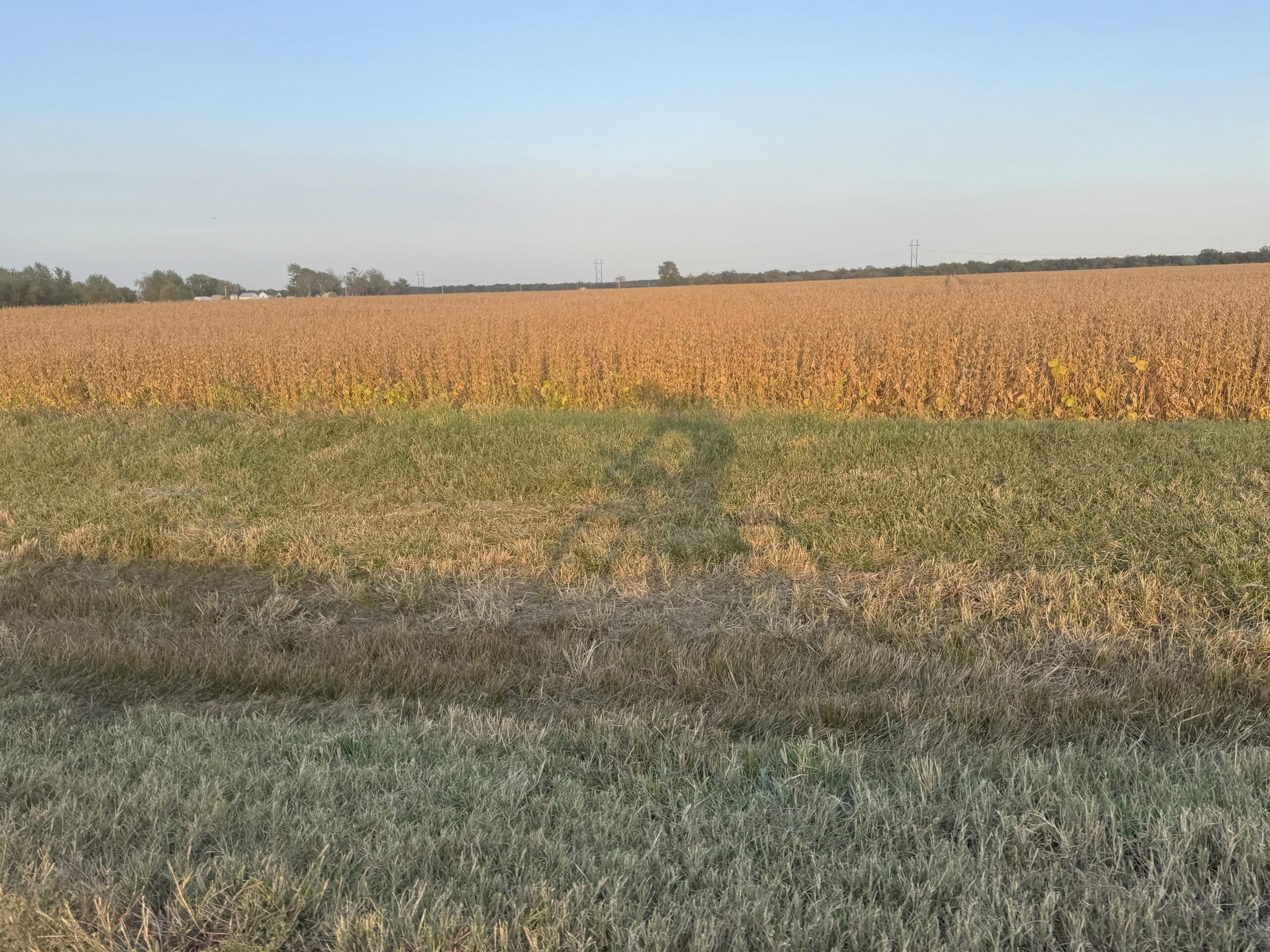

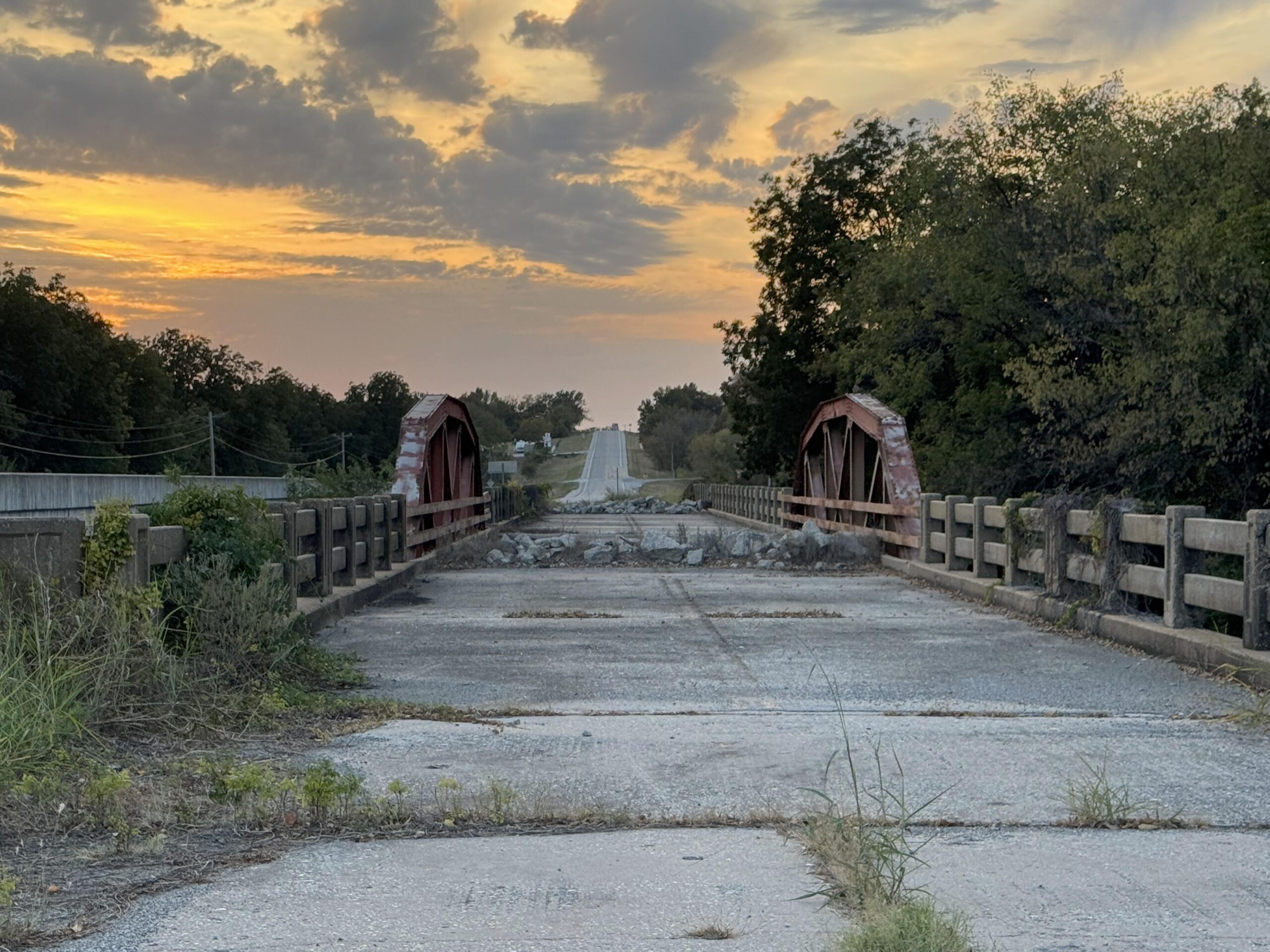
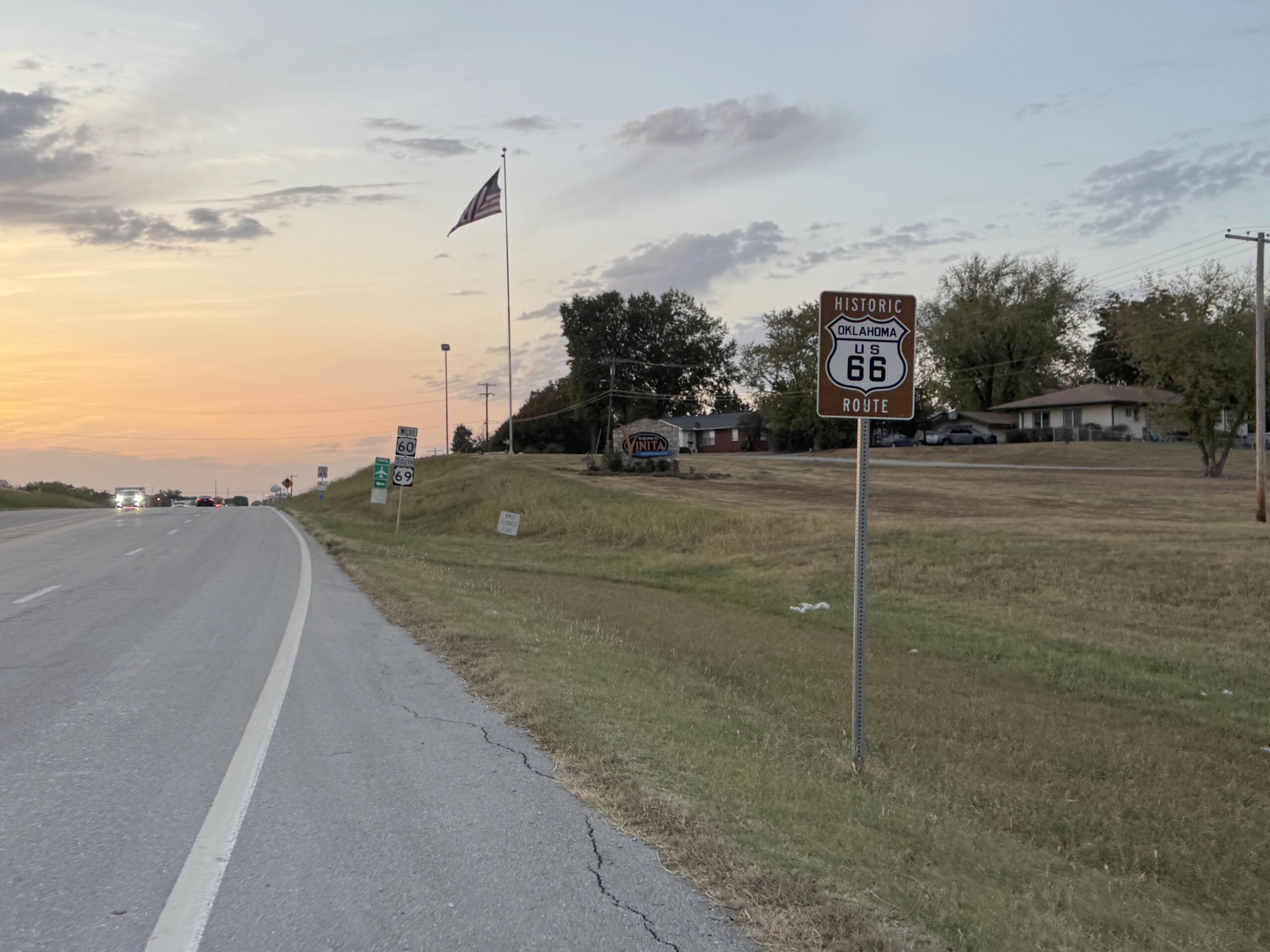
Long and short end to a long day
After what I thought would be a quick stop at Subway (since I was the only one there) but turned into 15 minutes as the only worker there made several sandwiches very slowly for a phone order, I finally got my sandwich and made it to the hotel just down the street. Thankfully, I asked and he let me get my drink and eat some chips while he was working on the sandwiches for the phone customer. Also, I had experimented with the online check-in for the hotel and it worked wonderfully, I only had to show my ID and sign one piece of paper rather than the normal, “type”, “type”, “type” on the computer and the coding of the key for the room. Instead she handed me my key and the entire check-in took about a minute. When you are tired and hungry … 1 minute vs 3-4 minutes is a big deal (or at least it feels like it!).
Exhausted, I made it to the room and was showered and asleep within 30 minutes. But before that I ran into a problem with the charging setup I had brought … I had brought a four port charger that had two USB-A and two USB-C ports. I had brought four cables, but only one of them was USB-C. So I could only charge three things at once.
I needed to charge the following things: Garmin Edge GPS, Garmin Montana GPS (Satellite tracker), Front headlight, Rear tailight, iPhone, and my Wahoo heartrate monitor. If you are counting that is six devices with the ability to charge only three at once. So I set my alarm for 2 hours later to wake up and swap out the charging cables. One trick to wake up after 2 hours of sleep after not having slept at all the night before is to leave all the lights on. I don’t think I’ve ever turned lights off while sleeping on any of these trips. A dark room would lead to a hard sleep (which can be great) but there is no waking up from that until your mind/body is ready. If your sleep isn’t that great, your mind/body (or at least mine) makes do with it and the waking up isn’t nearly so bad. In this case, after two hours, I swapped out the devices charging and slept for 2 more hours before my alarm went off again. I had anticipated leaving by about 3am, but I decided that I needed a bit more sleep, and especially since this was my “vacation”, I wanted the hotel breakfast included with the room.
Heading back to Arkansas
Up by 5am, ready to go by 5:30am I wandered down to the lobby where they had everything setup already for breakfast. Out the door by 5:45am with a couple wrapped bagels to go and with all my cold weather clothes on given the temp in the 40s still dropping with the approaching sunrise. My hotel was on the outskirts of Vinita and my route immediately took me south and east of the city on what I thought would be a narrow, rural, possibly dirt road. I got passed by a school bus within a few minutes, which I thought was odd. After another few minutes, I could see the school bus stopped ahead in the road. Apparently, he was early and didn’t have his flashing red lights on (just the flashing yellow). I kept riding and started to see kids waiting at their driveways. This was at least 10-15 miles outside of town and 6:30 in the morning … long bus ride for these kids as I am sure the school they were heading to was back in Vinita. About 10 minutes later, here comes the school bus finally catching up to me a few more miles down the road just before I made my turn (after missing it because the school bus was passing me).
By this point the road had deteriorated a bit with potholes starting to appear randomly in the otherwise smooth pavement. In the low light of my headlight I started to pay special attention to the ground immediately in front of me not wanting to hit any of these potholes and flat or double-flat. Sunrise started to fill the sky and the road was getting hillier. Still, short small hills, but not the flatter roads I had been on for many miles leaving Vinita. All the while I kept heading South instead of East.
I passed through Spavinaw below the dam holding back a large lake that looked cool with a dry spillway for outflow. Immediately, I tackled a large climb making it up above 1100 feet for the first day. On one of the twisted parts of the road I came across a burned out station wagon which had caught the surrounding forest on fire, too. It looked like it was a few months old as the charcoal still looked fresh enough to be sometime this year with no new growth. Strange that they left the car there, but it was down a really steep hill and the fire had climbed the hill all the way up to the road.
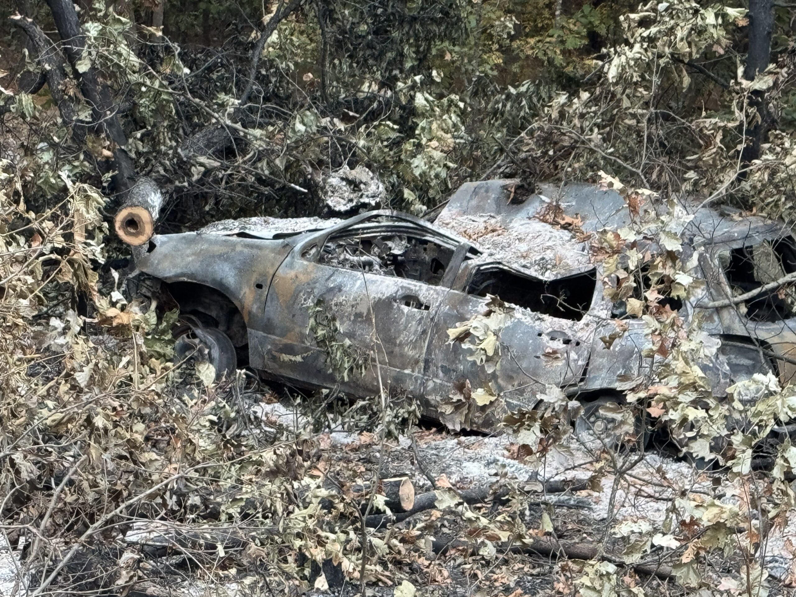
Having my encounters with the school bus over an hour earlier, it was still 7:30am and I started to run into more school busses … these were heading towards me and I made it in front of one after several driveways in a row of kids. This freed up the road behind me as cars needed to wait (I made it before the bus had even turned on his yellow flashing lights, let alone the red stop lights). I enjoyed a good solid five minutes of traffic free riding before a small group of cars passed me. I passed by the Salina high school first and then about 15-20 minutes later, the Locust Grove school.
All this time, I kept heading south and even turning west several times. I kept wondering when I would turn back east to head back to Arkansas. It’s challenging to zoom out on the Garmin while riding when it has a large route loaded, the pages take a while to load and it’s difficult to pan around and figure out distances and where I am. It’s possible to do this, but it’s just not dead simple and I don’t want to be run over by a car while trying to figure out something on my Garmin. So I spend an inordinate amount of time knowing exactly where I am (road, street, lat/lng, elevation) and simultaneously not having a clue where I am (in the big picture).
After making it through the next town (Locust Grove), I made it to my first stop of the day having only eaten one of the bagels I had brought with me from the hotel. I was on a highway heading to Tulsa (so many memories) but knew that I was definitely going to be turning soon. As it turns out, it was shortly after this stop where I decided to only fill up on water. I ended up making it 130 miles total before I needed to purchase anything at a gas station back across the border in Arkansas. I got my money’s worth out of that hotel! I will take that given how many times I have paid for a full night’s stay at a hotel to only be there for 3 or 4 hours and miss out on the free breakfast.
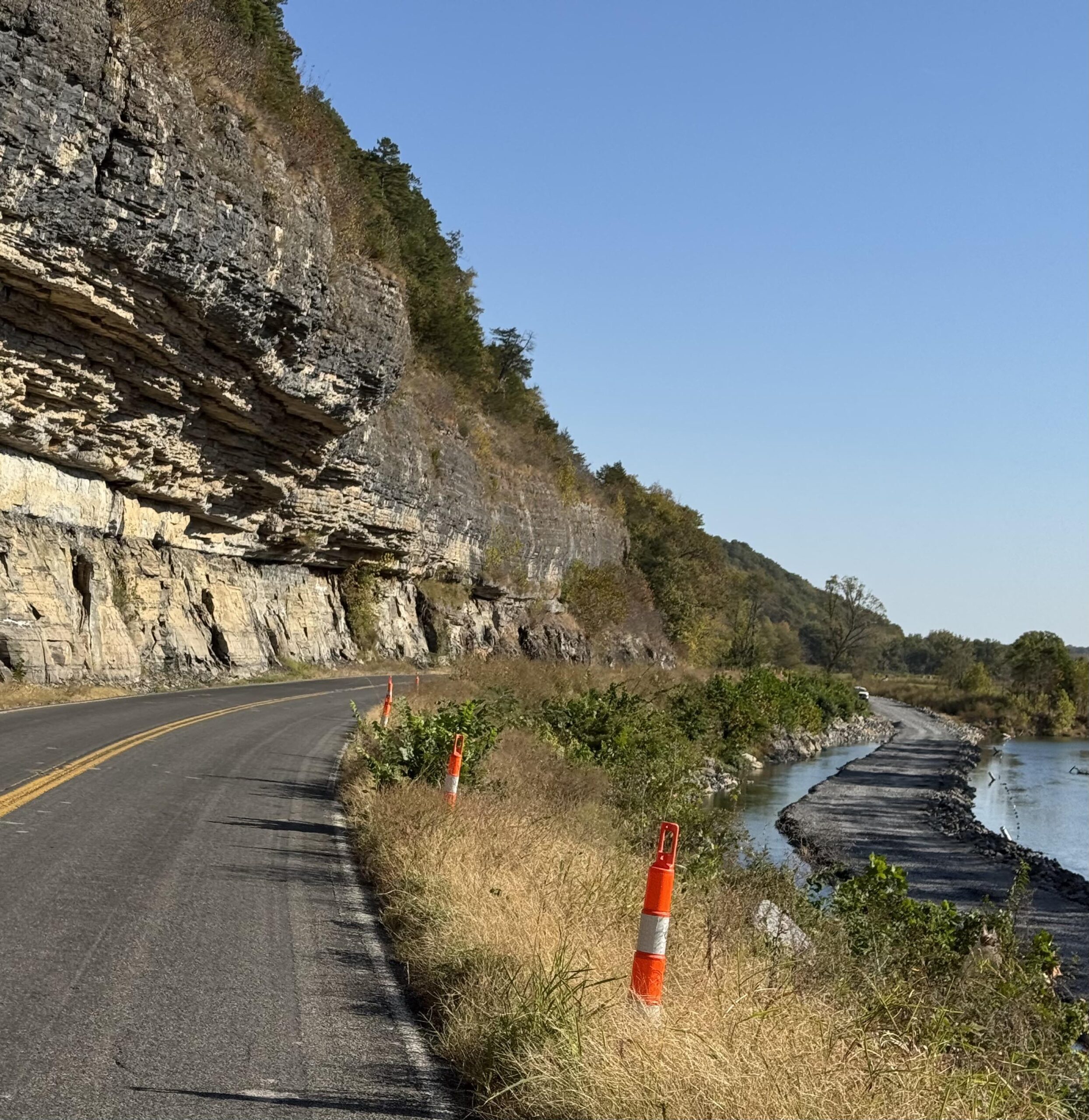
OK-10
My first highway I was on the day before after crossing into Oklahoma was highway 10. Nearly 75 miles into the day, I found myself back on a section of OK-10 much farther south than the section I had ridden on the day before. The reason why I mention this at all is because the section of OK-10 I rode on Day 2 spent a lot of time down in a canyon alongside the Illinois River. One section had a temporary stoplight setup (but not turned on yet) with lots of road construction. As it turns out, the road construction was to build a temporary one lane road literally through the middle of the river parallel to the road for maybe a quarter mile while they worked on the main highway b/c of some dangerous looking overhangs that I think needed work.
The highway was deserted as it was about mid-morning by this point. After a few miles I turned right and crossed the Illinois River passing a long-haired presumably Native American man walking across the bridge as I was riding through a reservation on a much more rural chip-seal road. After a few more miles, I lost the pavement altogether and ended up riding a few more miles on dirt both before and after the Arkansas border.
I say “more miles” because as I write this up I am remembering an earlier descent down into a valley between highways that was a very rough dirt/gravel descent that I had to use my brakes nearly the whole way down what seemed like a ridiculous 10-15% gradient for a dirt road. I don’t think it would have been driveable without a 4×4 truck in the rain given how steep the descent was. Thankfully after crossing that smaller creek, the climb out of the valley was much more gentle before eventually making it to Oklahoma highway 10 after a few miles of dirt and rough gravel. These two gravel sections were the only dirt/gravel of the entire trip and they were both within 10 miles of each other in the Oklahoma / Arkansas border area south of Shiloam Springs.
Columbus Day / Indigenous People’s Day?
At some point, I was wondering about the school busses I had seen earlier in the day because back home in Alabama schools were going to be out on Monday for Columbus Day. Some states celebrate Indigenous People’s Day. I thought it was interesting that all the schools in Oklahoma appeared to be in session, especially as I was riding through Native American reservations in eastern Oklahoma including some of the Cherokee Reservation marking the end of the Trail of Tears which starts near the Silver Comet area of Georgia.
I’m not sure how they decided on the vertical border separating the eastern part of Oklahoma and the western part of Arkansas, but the roads got immediately steeper and higher after crossing into Arkansas. Within a few miles I passed by the Hug-A-Highland (cow) farm with the highland cows right there next to the road. It was very tempting to lean over and hug the nearest one but I wasn’t going to try it.
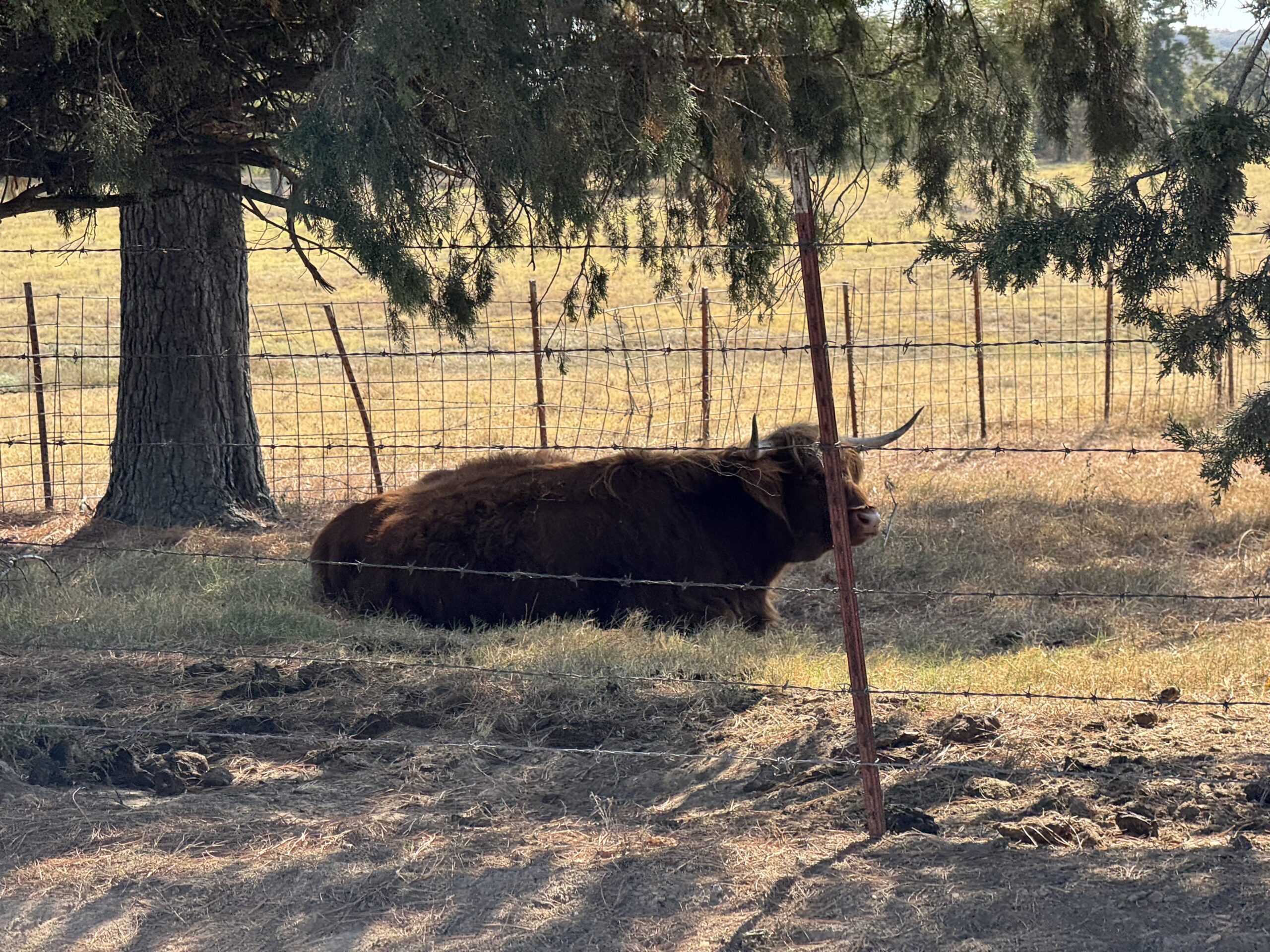
Shortly after the farm, the road I was on was going to intersect with the road I had taken in August into Fayetteville. I wanted to try something new, so instead of riding on that same exact road, I turned right at the intersection and climbed up over 1500′ of elevation onto a high mesa like ridge before dropping down, turning, and then hitting the main state highway into Farmington first and then Fayetteville. Whew, that was a BUSY highway. It was four lanes with a turn lane in the middle, too, and a huge mostly debris-free shoulder until I hit the city limits at which point they give you a narrow elevated sidewalk and no shoulder. Those sidewalks are terrible for riding a road bike on at speed with constant rocks, glass, driveways, business entrances, etc…
Go Big Red (U. of Arkansas)
It was still four lanes with a turn lane though, so traffic was mostly able to get around me. Still, I was thankful to make the left turn off that main highway onto a side street and then a bike path taking me pretty much all the way to the University of Arkansas campus. I had routed myself right through campus, and it was deserted so they must have been on Fall Break like I was.
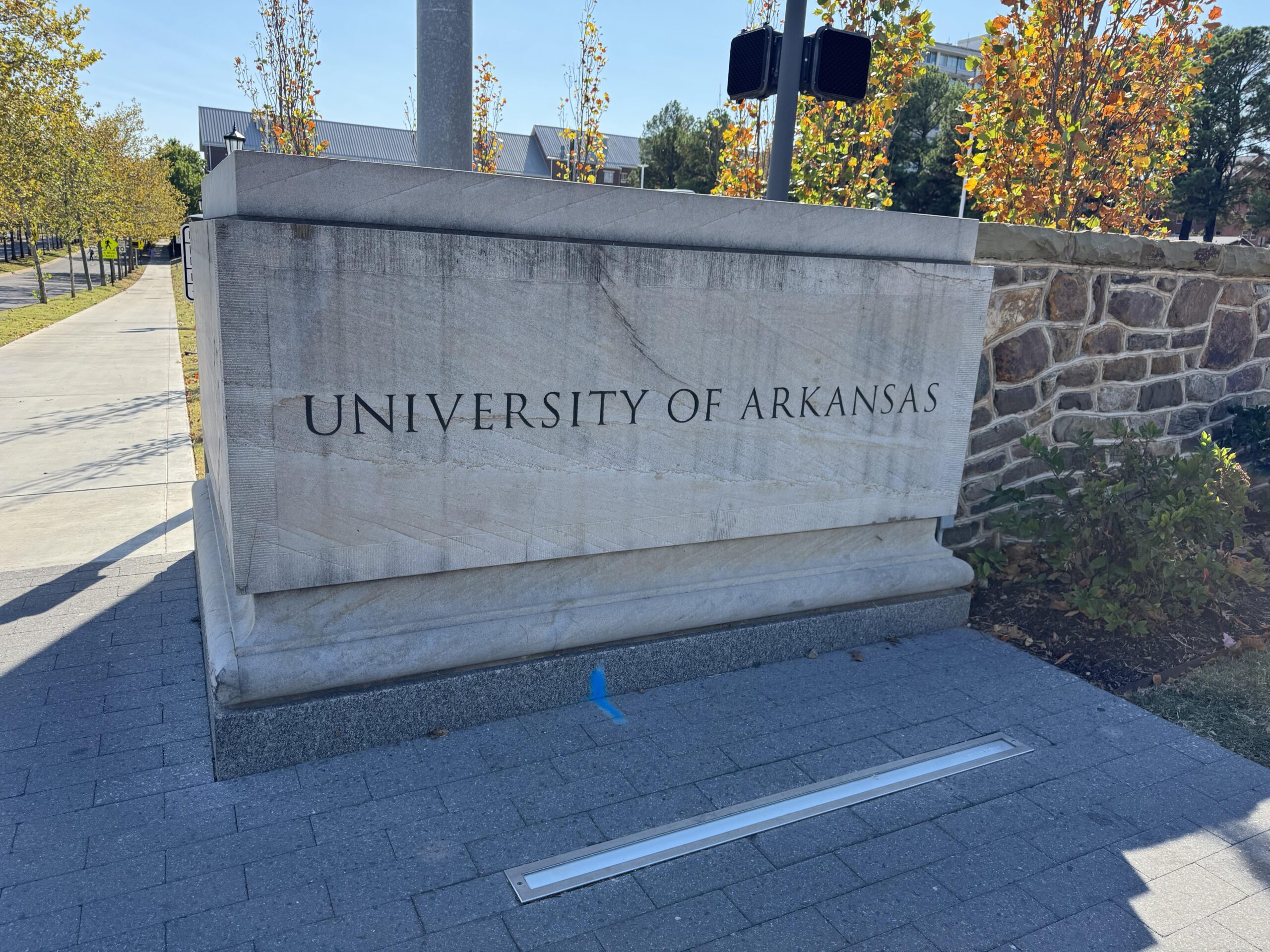
I enjoyed some bike paths afterwards as well, which eventually ended leaving me on the main highway heading east with a beautiful bike lane which eventually turned into a nice shoulder which eventually turned into nothing as I got closer to Huntsville. I made it all the way through Fayetteville by 3:30pm and had a bit of school traffic, but the “work day” 5pm traffic didn’t find me until the far side of Huntsville where presumably it was mostly people leaving Huntsville (not Fayetteville) to get back to their homes and farms. It was very hilly by this point, constant hills and turns, but thankfully most of the drivers were great.
Temps had barely made it into the lower 70s in the main part of Fayetteville and it was quickly down into the 60s as I left town. I still had a good 6 hours to ride as it approached sunset with first a Freeze Warning and then a Frost Advisory popping up on my Garmin as I crossed into different weather zones. This made me a bit concerned that the arm warmers, leg warmers, cotton gloves I had brought wouldn’t be enough to keep me warm by the end of the ride.
A broken screen, a sunset, and a comet
But first, there was a lot happening pretty much back-to-back-to-back. I dropped down into Kingston hoping that the store would still be open as I was about out of water. As I crossed a rough bridge through the small downtown area, my phone bounced off the mount on my handlebars. I was worried at first that it would have fallen down into the creek, but as I turned around I could see the phone at the edge of the bridge face up. Unfortunately, even though it ended face up, it must have landed hard on the screen as it was cracked badly, and the screen itself was glitching to weird neon colors.
I was worried that the screen would give out completely, so I quickly re-enabled Siri (I keep it off to keep it from constantly listening and draining the battery) so that I could at least interact with the phone via voice control. By the time I had refilled at the store, the screen seemed to have stabilized itself and would only glitch whenever I plugged it in to charge it.
As I left the gas station, I realized that I had ridden this road before! In my failed attempt at the end of August I had ended up re-routing myself on-the-fly through the Ozarks and apparently I had taken the highway through Kingston but coming from the north instead of the south. But at this point, my current route merged with that one. So I knew that I had a very steep climb ahead of me. I was still warm, though, and just happy to be riding in such a beautiful area with the sun setting. By the very top of the climb, I made it to the tiny church with a view of all the fall colors in the trees aglow with the alpine glow from the setting sun.
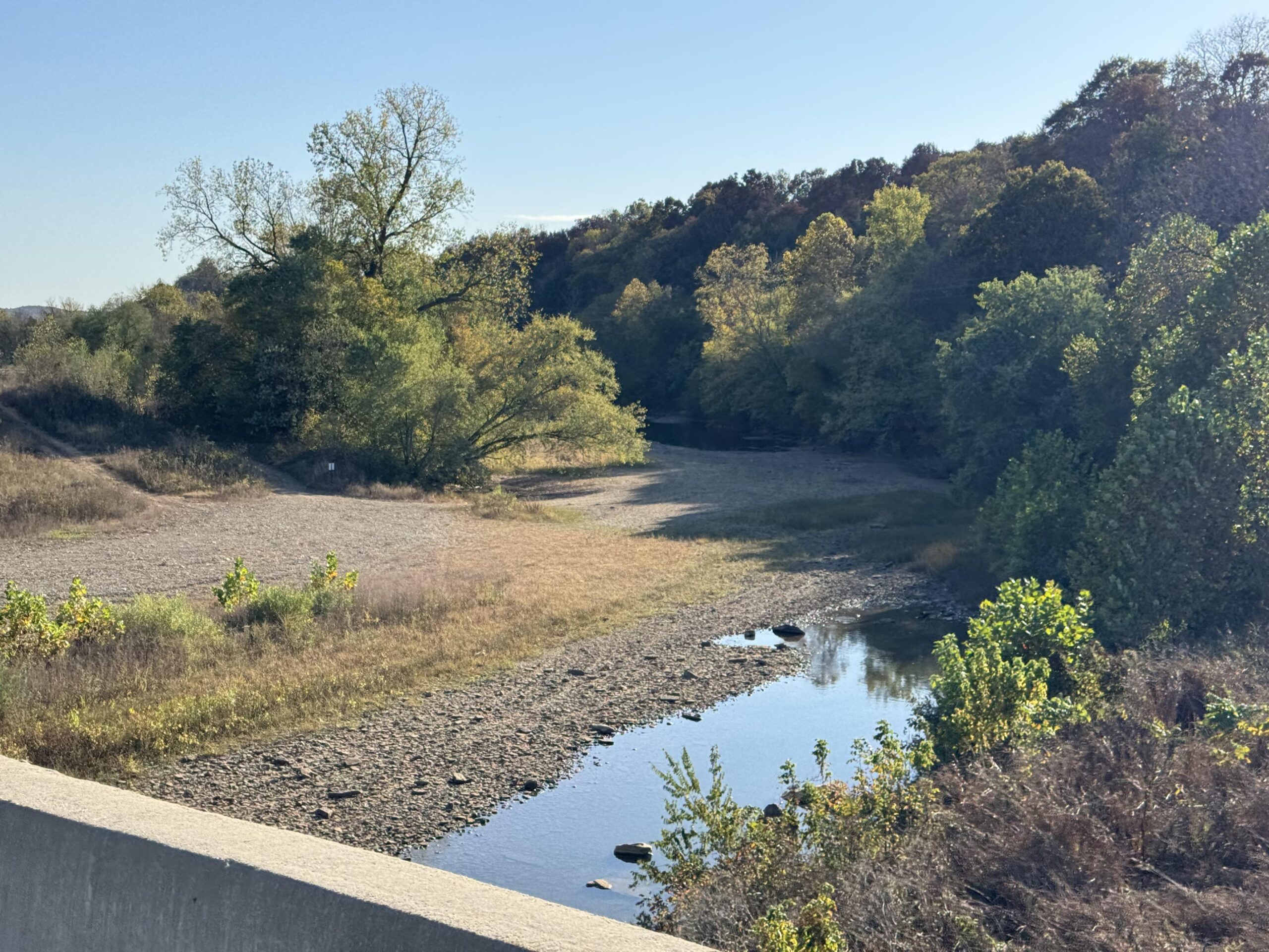

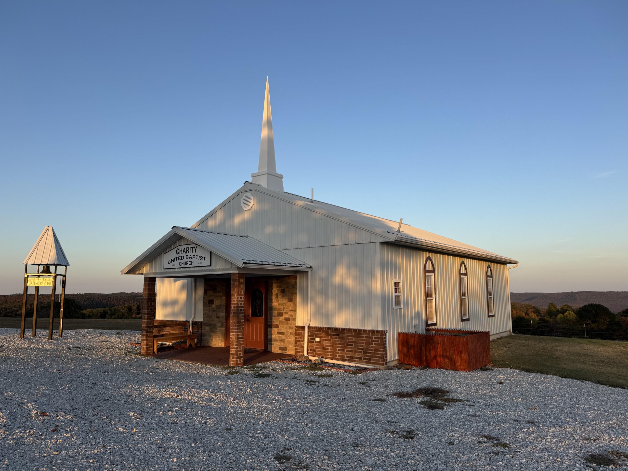
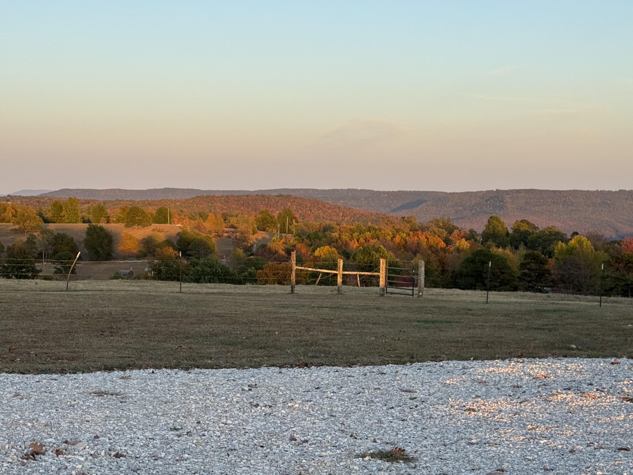
After a steep descent down to the Buffalo National Scenic River valley, the sun had disappeared behind the mountain I had just come down. It was still light enough to see without a light and as I rode up through the valley, I saw a bunch of cars ahead and several people out with professional-looking cameras. I wondered what they were looking at, and there was a herd of elk grazing on the far side of the valley from the road.
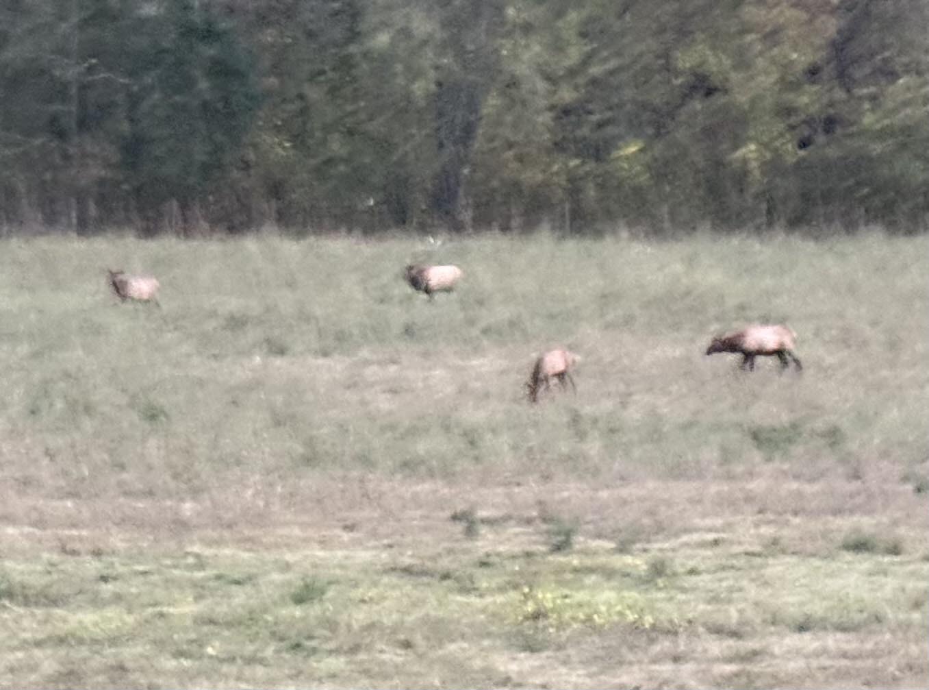
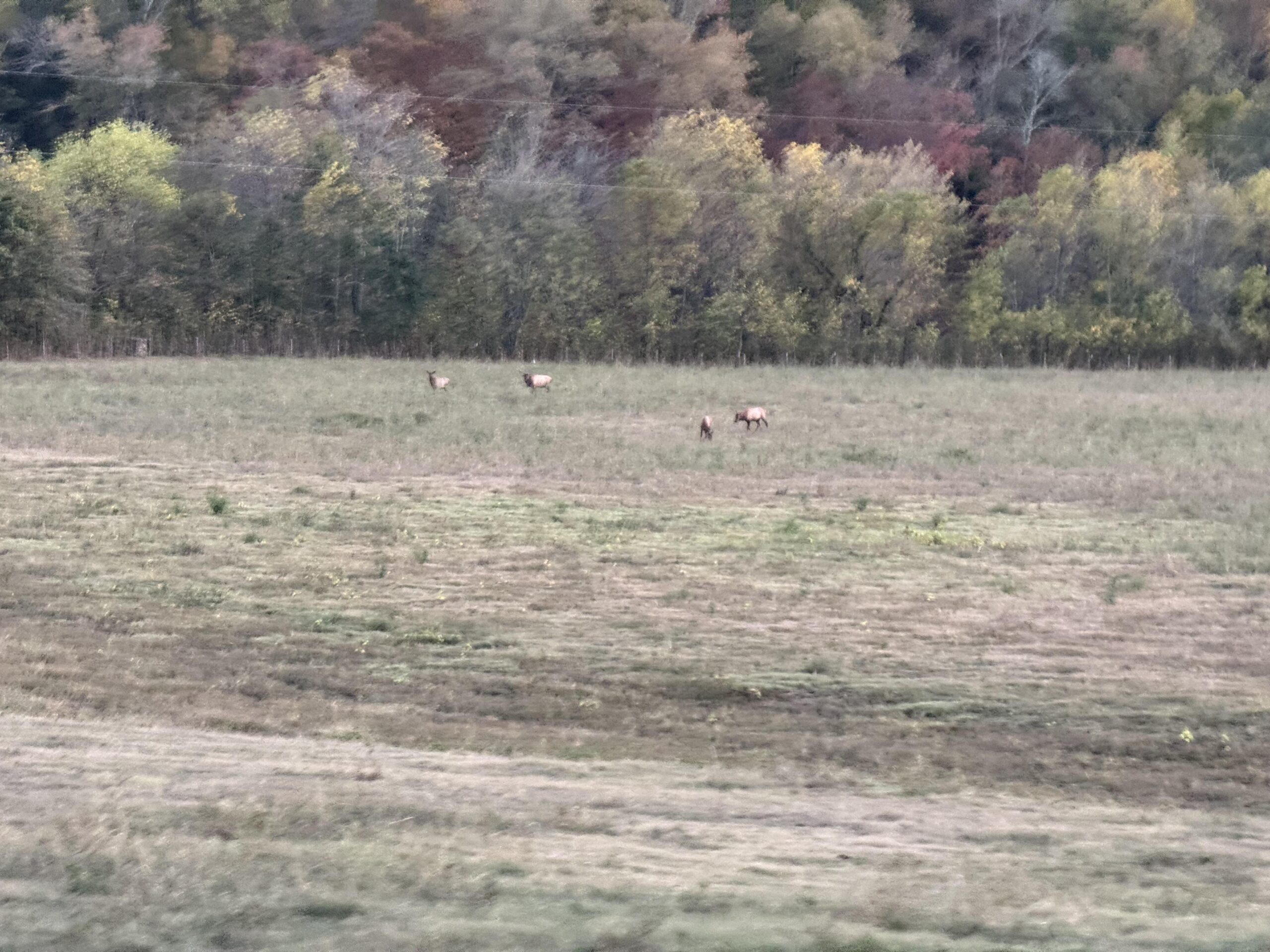
The sun had completely set by this point so I started looking for Comet A3. I found Venus and even Arcturus, the first bright start to the right of Venus, with the comet supposedly about halfway between them. No signs of the comet and as the sky got darker and I finally made it up the long Cat 2 climb out of the valley, my route turned almost due east away from the comet in the west/southwest.
I climbed up through a small town and thought about putting on warmer clothes, but I didn’t want to sweat with a long descent down into a presumably very cold valley for the last part of my ride. After I made it through that town, I happened to look back and lo and behold there was the comet very easily visible (and BRIGHT) behind me. I stopped in the middle of the road (it was deserted) and took a few pics and sent them off to the family as we all had been trying to find the comet.
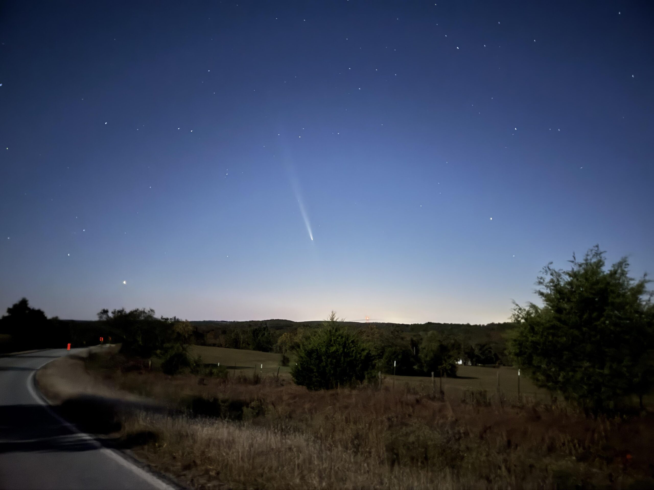
After getting some good pics of the comment, I continued across the top of the long ridge/mesa waiting as long as possible to put on my arm warmers and leg warmers for the descent. Right before the drop-off was a small driveway where I could set my bike and get my clothes out of my backpack. After a quick stop, I had everything I had brought with me on. And I needed it, temps were way down in the low 40s as I bombed down the fast descent into the town of Harrison.
I had never heard of Harrison, but it was pretty big on the map. There was a large river going through town and I saw (and ignored) some detour signs and continued following my route. Well, the bridge I was supposed to take was under construction and spans of it were just gone. So I had to turn around and find another crossing of river.
A few minutes later I was back on course on US Highway 65 which is the road I started on. I knew that I wasn’t going to stay on it the entire 35 miles back to Marshall because I was going to veer north to cross over into my final county of Arkansas. I was starting to get a bit sleepy as time crept towards midnight.
I did snap this pic of the Marion County border as I crossed back into Searcy County a few miles before making it back down to US Hwy 65 where my car awaited for me about 20 miles farther along US Hwy 65 in Marshall. Traffic was very light but as this was the main highway to get back down to Little Rock, I had 18 wheeler trucks passing me every 20 minutes or so. The shoulder was great and rideable so I would swing over into the shoulder to let the truck pass before swinging back out into the road.
It was about 15 minutes past midnight by the time I made it back to the car. I had started at 11:45PM just over 48 hours earlier … so I arrived back to a deserted small town and my car all alone in the parking lot of the grocery store just as it had been 2 days and 560 miles earlier.
The Rift 2024 26 Jul 2024 2:11 PM (last year)
What an amazing experience this race was. I came into the race doing it mostly to have a reason to visit Iceland. I was surprised by how challenging and perfect and awesome the race itself actually was. There is a reason why more and more people keep signing up for this race with this year’s all time record of 1200 people racing either the 100K or the 200K version. I opted for the 200K, which ended up being a bit longer at 127.5 miles.
My friends Michael Staley and Rick Swagler had taken on this race last year, loved it, were excited to come back, and encouraged me to join them on the adventure this year. Prior to that, I also remember following my friends Jason and Wendi Shearer in their race in 2022. Even after hearing great things about this race, it’s not until you are out there at the start line waiting for the gun to “go wild” and rolling out of town jockeying for position in the fast neutral start, making that turn onto the first lonnnnng gravel climb signaling the end of the neutral zone in a pace line so fast and finally entering the first several of many creek (river, really) crossings that you realize the challenge ahead.
For me, that realization especially took hold after the leaders separated themselves from the front of the Open Men (we started together) and I moved up into one of the first few groups behind them. I was going at maybe 80-85% of a maximal effort at a pace that was certainly harder than I could maintain for the entire race, but not wanting to lose the faster riders I was with, and holding out hope that the group would tire and slow down a bit enough for me to continue holding on.
Catching and passing riders
It was tricky as we started to catch the slower riders coming off the front group or the open women who had started 30 minutes ahead of us. It was tricky because of the nature of many long sections of gravel on the course which were well defined double track with either deep loose sand or thick rocks separating the two double track lanes. You could see where other riders had crossed leaving deep tracks in the sand (lots of momentum loss) and even one or two wipeouts.
Meanwhile either side of the double-track was hard packed in most places, sometimes with hard rocks that were also energy sapping and bone rattling. So when our pace line would need to pass somebody on our side of the double track, we would all need to figure out the timing to cross over onto the other side. I stayed with one or two different riders I felt sure was from Iceland or who had raced this race multiple times … always leaving a disintegrating group behind from a punch climb or tricky crossing to pass riders.
During this endless climb, I remember looking at one point at how far we had covered, thinking it would be nearing the halfway point, but we hadn’t even made it 30 miles yet! Eventually we made it to the top after rolling on some quite steep downhills followed by even steeper hike-a-bikes. Somewhere through here on the first steep section that was still rideable (but quite long) a group of dirt bikes passed us … It was tricky for them too because the long steep climb only had one good line and all the cyclists were on it, so they had to get down into the loose rutted sections or wait. It took forever for them to get around because of it. They were kind though and I never felt in danger or that they were getting impatient.
Dirt Bikes and Switching Modes
The dirt bikes did stir up a lot of dust, however, and I started sneezing through here and again later in the race, too. After the first long rideable steep section (some were hike-a-biking), we went down to another river crossing and after that turned the corner to see a steep non-rideable hike-a-bike wall. It was here I lost the group I was with as I still cannot bend my left foot and have to hike-a-bike flat footed on the left and tip-toe on the right. Also through here my GoPro battery died just as we were getting to some spectacular views. I had been blurting out “wow” a number of times. I was in awe of the scenery, lack of trees, tall mountains, volcanic rock, and glaciers peaking out from around turns and hills in the course. So I decided to stop and take a few pics, videos, and put the fresh GoPro battery in. That decision meant I had switched “modes” out of the hang-on-for-dear-life and try to finish as high up as possible to the “just-have-fun-but-still-ride-fast” mentality.
After a particularly long steep descent with loose sandy conditions, we made it to a rocky, twisty double track section with actual berms built into the gravel road. It was my favorite part of the entire race. I was on my own through here and for a good long section. I was also out of water by this point. There would be 4×4 vehicles setup either to take pictures for the race or just out there in the “highlands” doing their own thing (hiking, ATVing, or dirt biking) and it wasn’t clear to me what an aid station would look like so I just kept on going.
It was interesting how there would be long flat or gradual false flats leading into steep climbs. One of them that was laughably steep where you could see the riders hike-a-biking up it from a long ways away. There was some wind through here and a faster small group of three riders caught me here that I hopped onto. I stayed with them for a while until getting dropped on the next hike-a-bike.
Running out of water and washboard torture
After that hike-a-bike the next major thing I remember was a long fast descent with a small creek crossing towards the bottom. I had vowed to just stop and scoop water out of the next creek I saw, so I did! After filling up one bottle, I continued on down for another mile or two before coming across a large, deep river crossing where we intersected with riders coming back after a loop I was about to start. There was a large van setup, some dirt bikes, lots of bikers, several 4×4 vehicles but no evidence of it being an aid station (the main aid station was far on the other side of this setup kinda hidden from view by the cars). I had plenty of water now thinking that surely I would hit the aid station any minute (not realizing that was it) or that I would beg for water from someone in this area on the way back.
So I kept on going as we intersected a heavily traveled dirt road. This one was full of washboard from edge-to-edge sometimes with smoother sections in the middle, but mostly all the way off to either side of the road. The road was very wide, though, so you were pretty much limited to the far right side which was sometimes quite soft at which point you’d have to come back over to the middle and just rattle your bones on the washboard. There was a heavy crosswind through here, and I couldn’t see anybody ahead or behind me … until a pair of riders who were riding MUCH faster than me came blowing by on the washboard. I was desperate because of the wind and had not actually been riding very hard (maybe Zone 3?) so I hit it hard (Zone 5) to catch back up to them and then hold their wheel all the way around that loop, which had some nasty washboard sections and nasty sections. We caught and passed several riders who I had been with earlier and only one was able to latch onto the fast pace these two riders were setting. The others quickly disappeared into the distance behind our train. If there wasn’t a line off to the side, they would just ride the washboard at full speed while I hoped my bike would stay together in one piece.
Drinking water from the river
I came off on the last hill before a short downhill back to the loop starting point where thankfully I discovered after a water crossing that all that activity was indeed the aid station. They had all kinds of candy bars, which is my go-to training fuel these days at all the rural gas stations I can find. So I grabbed four bars, filled up my bottles using a hose that was coming directly from the large river crossing. I laughed at the sight. It was so great.
The others in my group were stopped a bit longer so I set out with a fairly large group leaving (maybe 6-7 riders including myself) and we had a good paceline going for many miles despite the washboard sections, lots of oncoming 4×4 traffic, and hills, and headwind and crosswind. I stayed in this group all the way to the next aid station where only three of us decided to skip it (probably a big mistake for me). The three of us set out on the shorter … but way rougher and windier … loop that we needed to do next. This one had about a mile long section of a rock strewn causeway we rode over. These were big rocks that you could not ride over at speed. It was hard work and we slowed to maybe 10mph for this entire section. It was just two of us, though, because the third rider fell hard early right onto the rocks. He said he was OK, though, and waved me on when I slowed to check on him.
Wind and cramps
This terrible causeway had a nasty crosswind, too. It ended on a nicely paved road as we made a 90 degree turn so that we had a massive tailwind. I barely hung on as a third even faster rider (probably flatted earlier) came flying up to us. We averaged 20-25mph through here and I had to pedal out and tuck carefully on some of the downhills (it was mostly flat, but there was a couple rolling hills) since I only had a 36×11 as my hardest gear. The race gradually turned into the wind so that it became more of a crosswind and eventually a headwind again. I was already on my limit (probably upper Zone 3, but tired) and fighting cramps as I had run out of water through there. I had no idea where the next aid station was going to be and decided when I saw that we were turning back onto double-track gravel to just let them go knowing that if I continued at that pace, I would have a full leg lockup and have to hobble the rest of the way in.
The pace we had been setting was so fast, though, that nobody caught back up to me at my Zone 2 pace for probably another 5 miles! Eventually, I settled into the back of a small group of four for a little while before coming off at the next washboard section. A couple solo riders passed me through here and I was just settled into Zone 2 by this point having been out of water for a while now.
The course was following a large river at this point, but we were also in farming territory and much more populated so I wasn’t sure how safe it would be to just drink out of the river. Also, logistically, the river was a deep canyon that would have taken a while to figure out how to get down to it. So I opted to just enjoy the amazing scenery, contemplate life and be grateful for the chance to be doing what I love in such a beautiful, wild, unique place. Then a large group of 7-8 riders caught me at the top of a hill (I didn’t even realize they were coming). So I hit it hard to catch onto the back of them and rolled with them to the aid station.
Thankfully, they all needed to stop, so after refilling both bottles, getting a Pepsi, lots of food, I was ready to go. We all took off and it was a crosswind. I helped pull for a while with the group, staying with them for maybe 10 miles but came off when we hit a steep hill that I just knew I couldn’t hit as hard as they were going without cramping. So I watched yet another group of riders roll away. I figured I was somewhere around 100th place by this point and wondered as each rider passed me if this would be the rider that knocked me out of the top 100.
Long climb to nowhere
As much as that would be cool, though, I didn’t let it bother me and just continued to push as hard as I could in Zone 3. That steep climb was the beginning of a much longer climb that was hilarious to me. Straight ahead and to the left was a snow covered glacier that I knew we wouldn’t be climbing. And to the right was a very sharp, steep Rocky Mountain that also seemed impossible to climb on a bike (or even hike) and in between the two was a very large saddle that also seemed unlikely we would climb. I kept looking for a pass to appear or for the riders disappearing into the distance to turn back to the right and cross over in front of the steep Rocky Mountain where the land appeared to drop off again back down towards the ocean. Nope … we just went straight to that steep saddle, which turned out to be more long than steep (hard to judge distances without trees) but was probably a 1,000 foot climb over about 5 miles. It had a river crossing at the bottom, which I recognized from the way out.
I passed a few people through here – a couple people with flat tires, one woman who just stopped riding, a man who was going a bit slower. But eventually two riders caught up to me towards the top, and I latched onto the back as we began a fun long double track descent that we had climbed on the way out. This eventually turned to pavement as we made the right turn onto the highway taking us straight into a headwind with about 8 miles left to the finish. They were happy to have me join in a small pace line, but I didn’t pull very hard or very long when it was my turn. So when we closed in on the finish I let them roll away.
Wrapping up
Along the way to the finish, the race passed by the airbnb where we were staying and I saw that our rental car was gone, so I thought maybe Kristine and Josiah would be at the finish, but I also knew they were going far away during the race to do some fun things and thought it unlikely they would be back in time. And sure enough, they were just sitting down to dinner after having hiked up to a waterfall about an hour away. I was handed a patch and a beer as I crossed the line and headed over to the tent to have traditional Icelandic hot dogs (which are so, so, so good). After chatting with a couple other finishers, I figured I had time to bike back to the airbnb backwards on the course about 5 miles, shower, change clothes, and then bike back to the start to cheer on Michael and Rick. So that’s what I did!
They did a fantastic job with the results. I was able to see that I had finished in the top 75 (eventually turned out to be 65th) and also the estimated time for Michael and Rick! I saw that they must be riding together since they had the same estimated time to finish and that I still had about an hour and a half to wait. So I rode all around Hvolvsvöllur (the start/finish town) on all the bike paths and played some Pokemon Go. A rain storm moved in, though, so I made my way back to some shelter under some trees and when it stopped raining rode around on the bike paths along the course waiting for Rick and Michael. Not too long after the rain stopped, Rick and Michael rolled into town. I gave them a big cheer and then went back to have another hot dog with them. Michael and I then rode back to our AirBnB and said goodbye to Rick who was staying at a different AirBnB.
Rick had just broken his collarbone, broken ribs, collapsed lung in a bike wreck a few weeks ago. So it was amazing he had healed enough to even attempt this race and here he was finishing it! Because of the collarbone he had had to ride a bit differently and his back was killing him later in the race so that they had to stop and stretch a lot. Many Kudos to him for preserving and making it through to the finish! Michael was the awesome friend to stick with him to the end, too, instead of trying to finish faster. I was the goofball who took off like a bandit at the very beginning and finished a few hours earlier. But we all three finished and had a great time. Also, Michael had had FIVE flats the year before on a rental bike, came back this time on his own bike and had an easy finish with no flats.
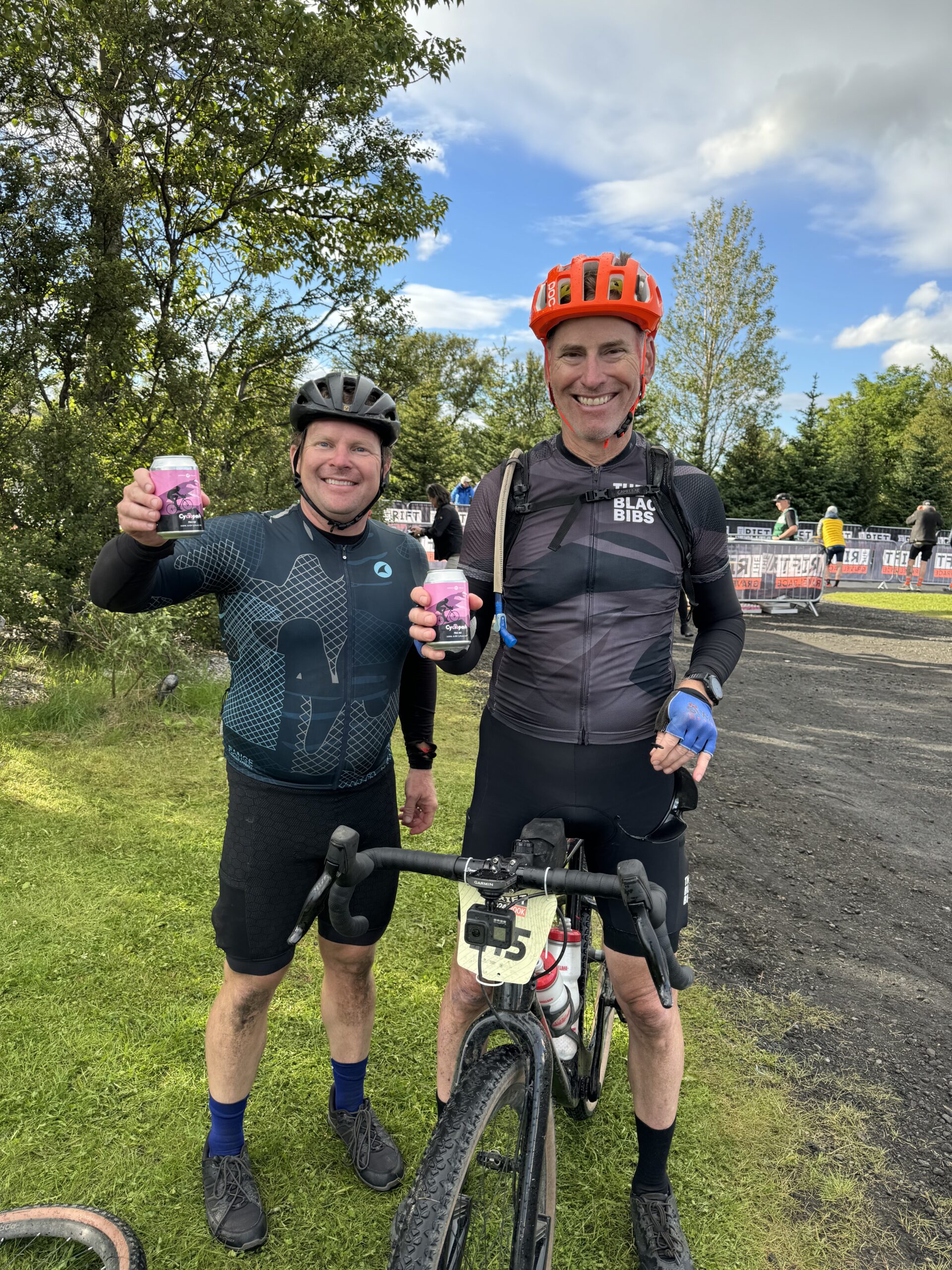
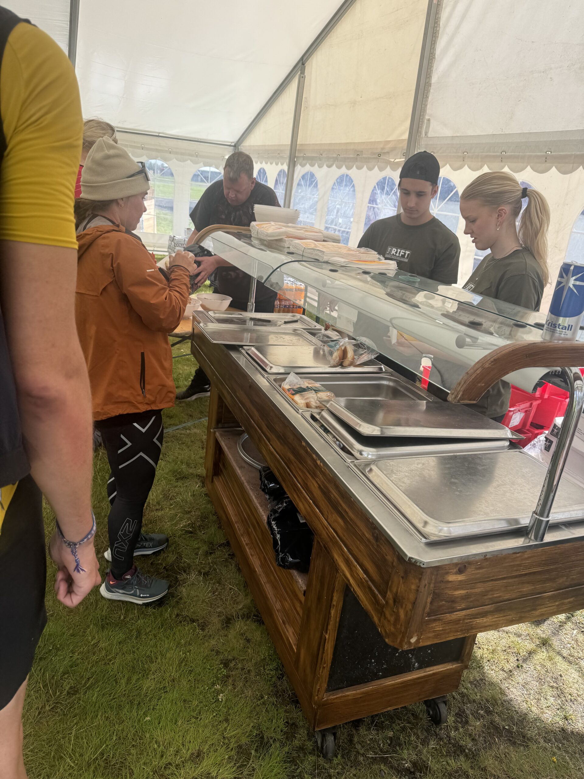
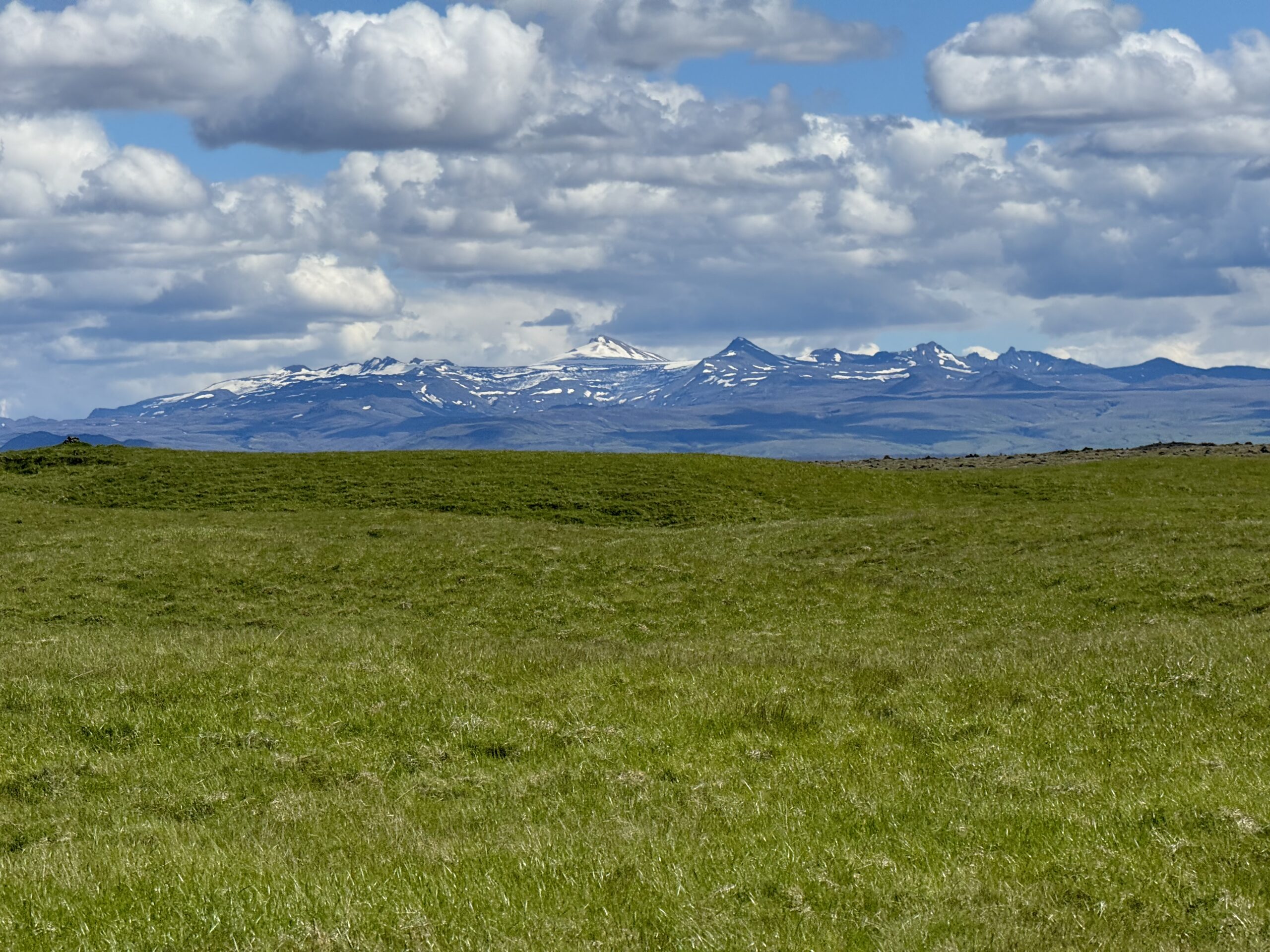
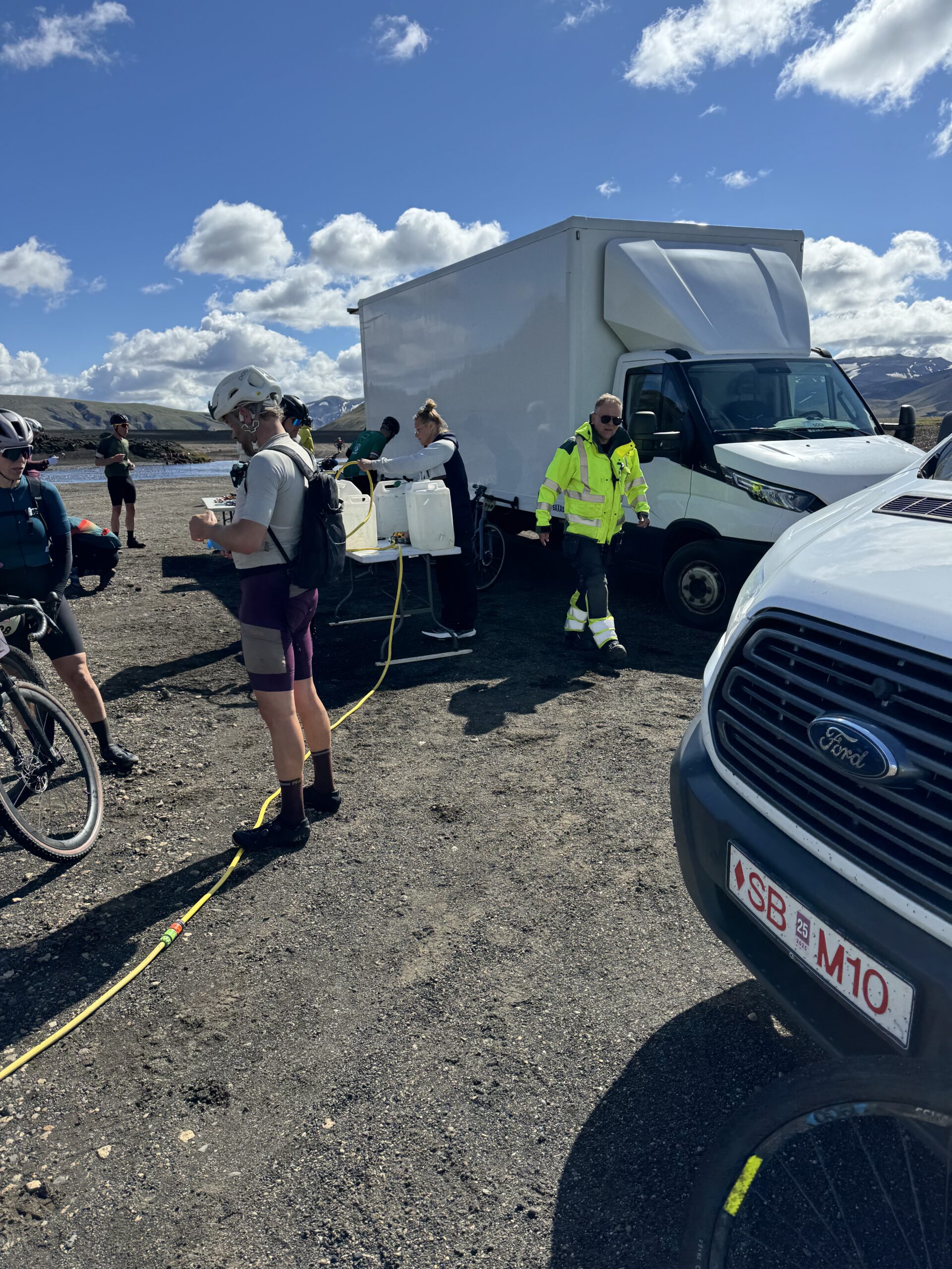
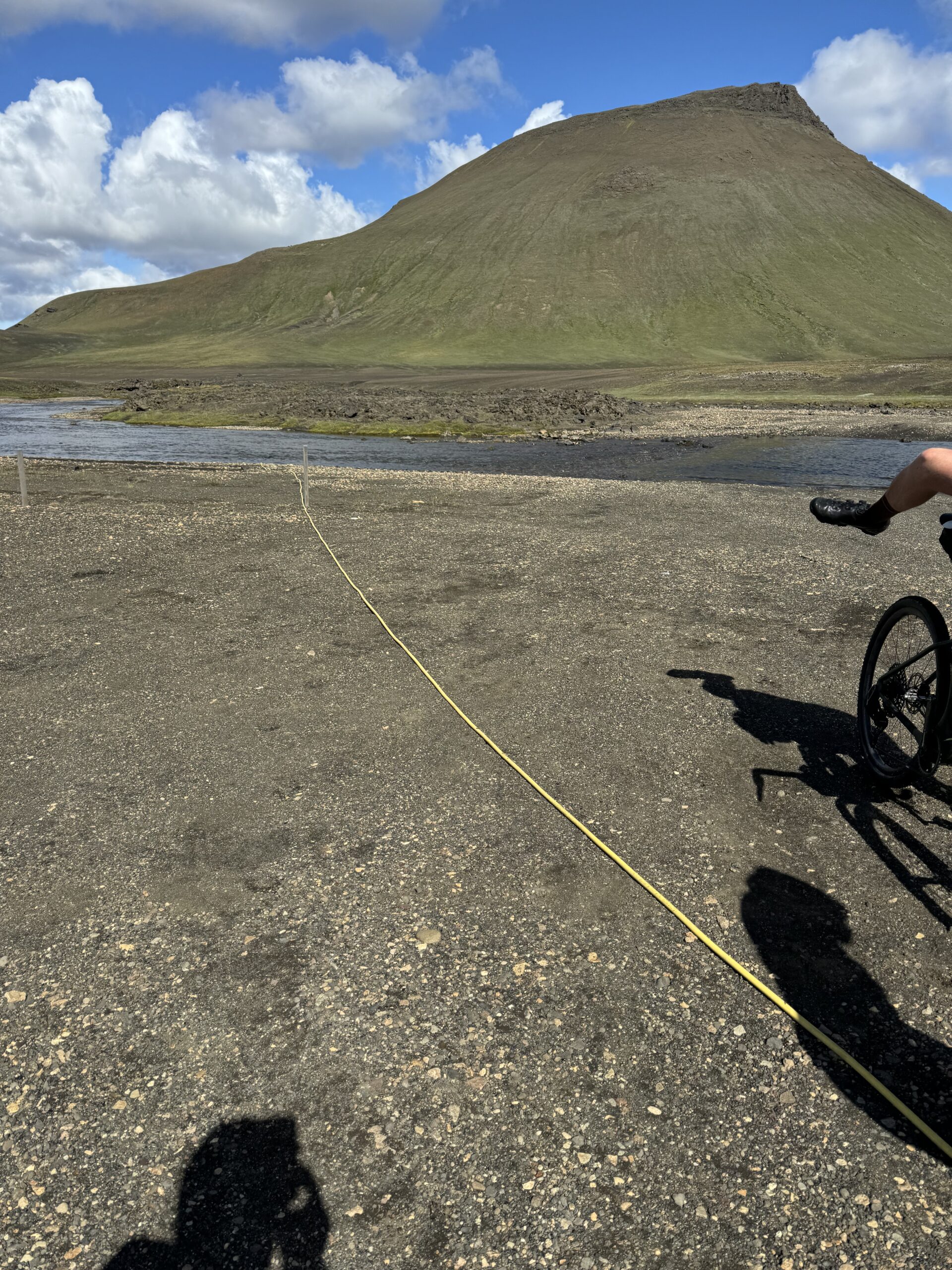
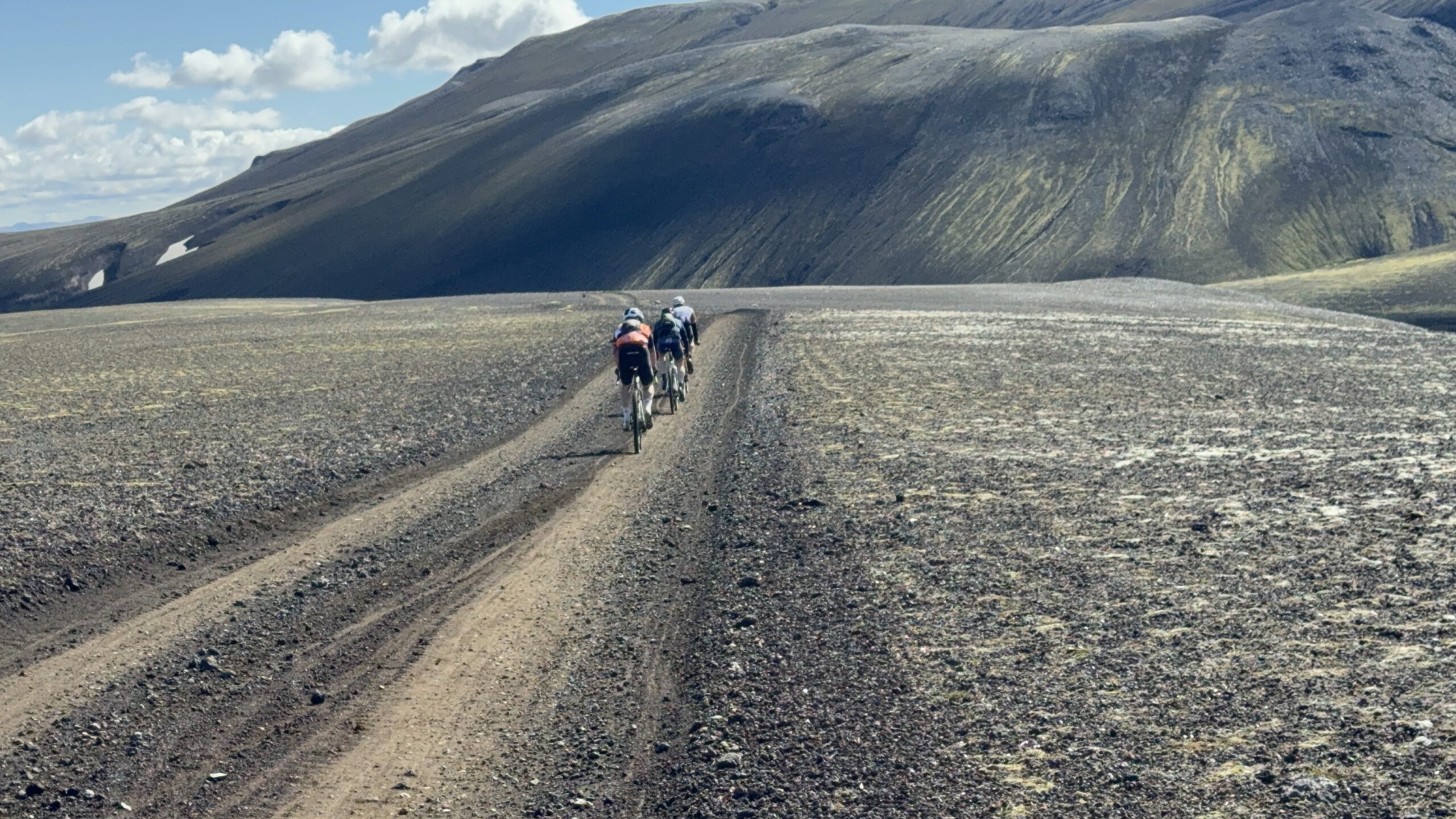
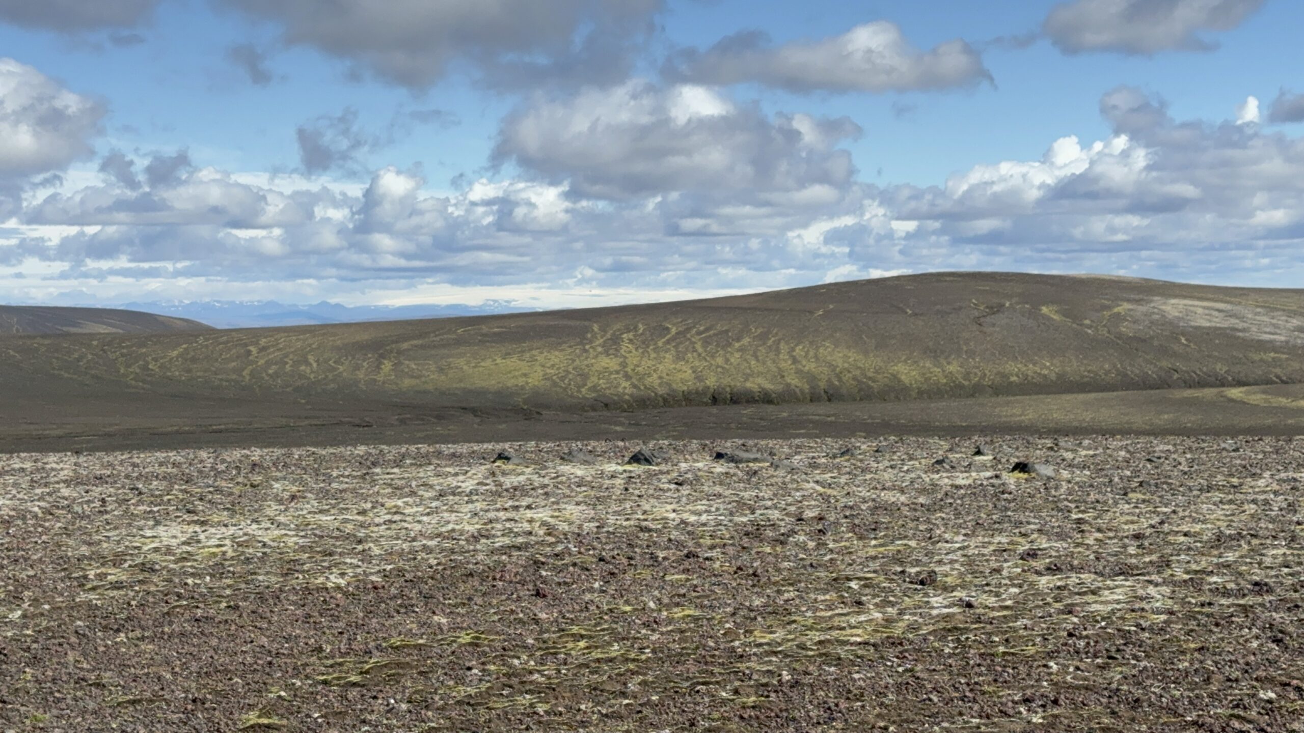
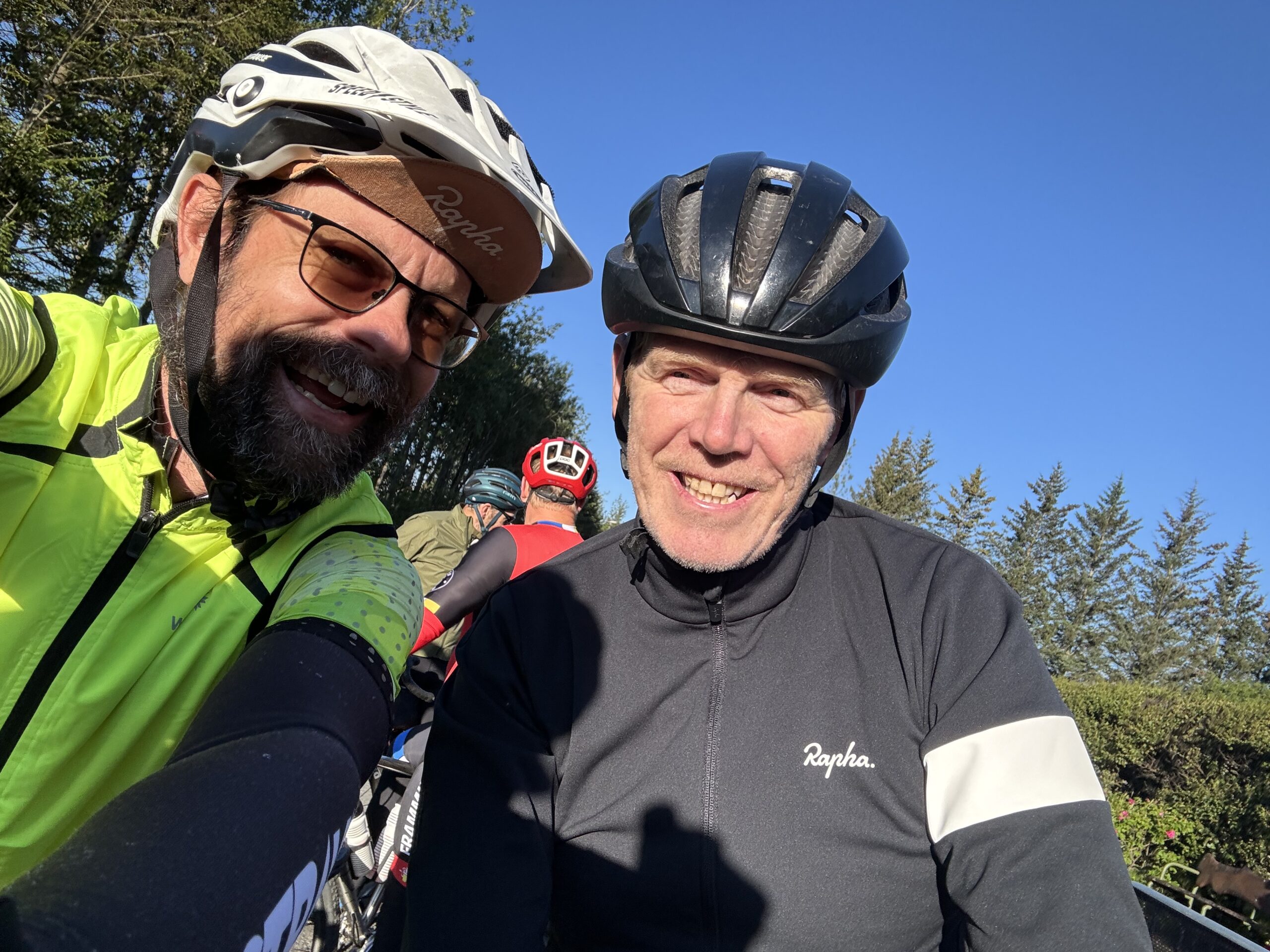
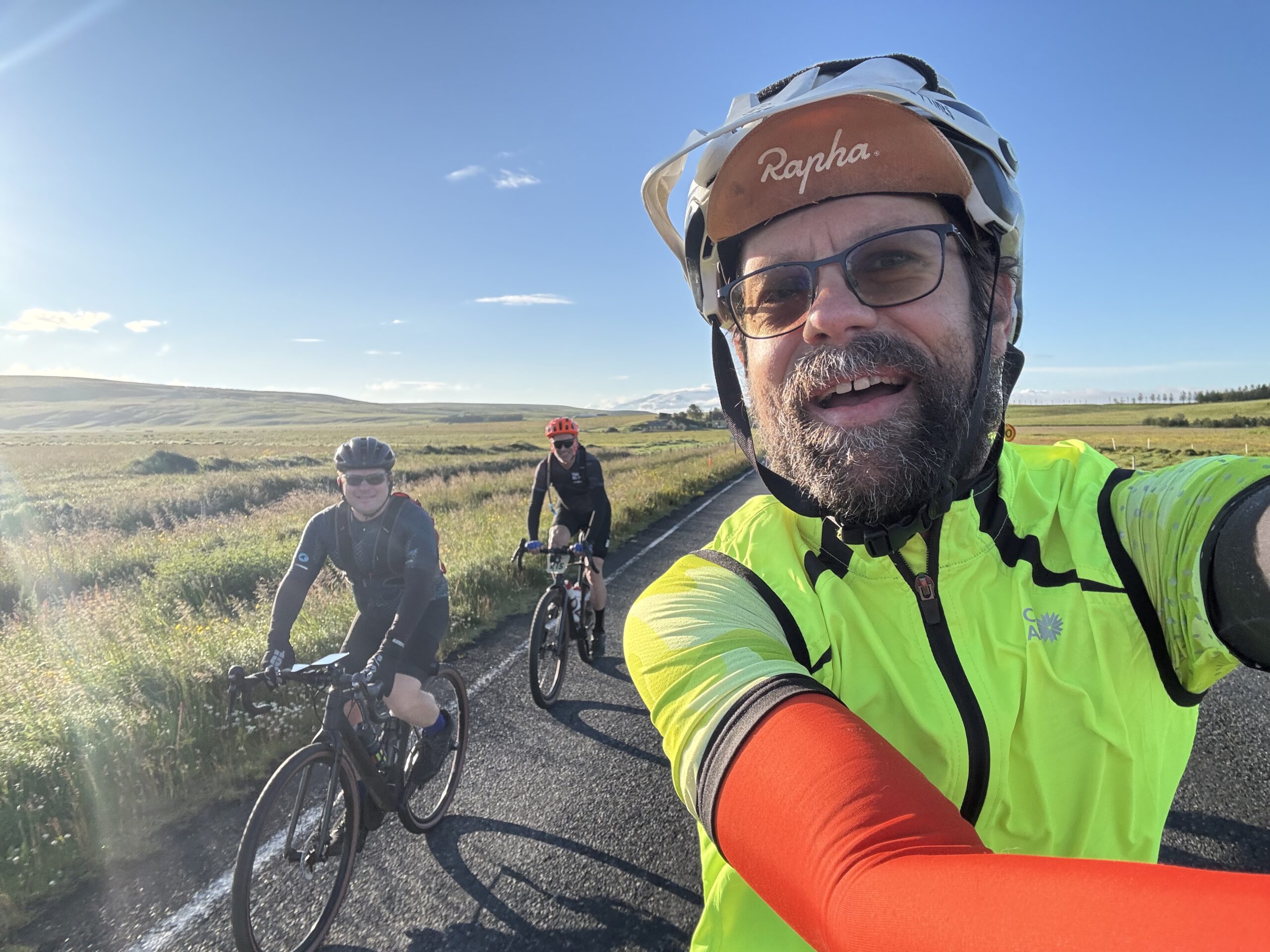
Demon Copperhead, Spring Break 2024 1 Apr 2024 3:30 AM (last year)
TLDR – I rode my bike 903 miles from the mountains of Virginia down to the birthplace of flight – Kitty Hawk, North Carolina and then back across to Lee County, Virginia where the title story takes place. It rained a lot, from start to finish, with a few extended breaks that were great, but it was a wet ride.
I started listening to the audio book Demon Copperhead by Barbara Kingsolver about a boy growing up in a trailer home and a series of foster homes in rural Lee County, Virginia. I spent every summer with my grandparents in rural Fluvanna County, Virginia. It would take us 30 minutes to drive to the nearest grocery store in Charlottesville, sometimes via VA-53 past Thomas Jefferson’s Monticello home, but more frequently taking RR 600 (Rural Route 600) over the one-way wooden bridge spanning the Rivanna River to RR 616 and eventually Highway 250 or sometimes I-64 at Zions Crossroads. All these years later, seeing the numbers 600 or 616 takes me back to the white picket fence along the huge farm at the intersection of the two roads. I also immediately think of rolling steep hills and twisty roads. And then after that, one way bridges. I think my fascination with finding and crossing abandoned bridges can be traced back to the memories of those summers.
What does this have to do with Demon Copperhead? Well, Virginia is the only state that completely separates its cities from its counties. This matters for my goal to ride in all the counties as a way of “covering” a state, but in Virginia, I technically need to ride in all the cities, too, or there will be holes in my map. But more importantly, it’s a concrete political structure that reinforces the difference between city life and rural country life. And that directly relates to Demon Copperhead and the rural vs city living and the vastly different struggles faced.
Route planning and logistics
With my daughter returning from spring break on Friday, I decided to borrow my wife’s car and drive up on Monday to Staunton so that I could meet her on Friday on I-81 and help my daughter drive the rest of the way up. Then when the two of us made it to Staunton late Friday night, I’d already have a car there and could begin the 750 mile drive back home. This overall plan took a bit of thinking over a few days to figure out as the best plan given a couple other alternatives involving trains or long, fast rides back home that might involve riding straight back to Samford to teach my Monday morning class. Even after coming up with an overall plan, figuring out all the details takes the produce up to a whole ‘nother level. More on that in a bit.
The overall plan meant I would have Monday night – Friday night to explore Virginia (and North Carolina). When I was originally planning the route I noticed there was no “good” (subject to all the constraints below) way to get over to the coastal counties and my first night’s stopping point without dipping down into North Carolina. Since I’m also still trying to finish up riding in all the counties there, too, I decided to go all in on the northeastern counties of North Carolina by making the Wright Brothers Memorial in Kill Devil Hills in the Outer Banks as my turnaround spot.
After Spring Break, when I got back to Alabama and was teaching my Artificial Intelligence class, I went over how I planned out the trip and how the decision of how to route myself was a complicated version of the Traveling Salesman Problem. Solving a TSP already takes a non-polynomial (i.e., could be exponential) amount of time. But then you layer on a whole bunch of constraints:
- Are there dogs?
- Is the road paved? Good quality pavement or rough?
- Is the road unpaved but still rideable on a road bike?
- Is the road too busy?
- How hilly are the roads and what is the impact on average speed?
- Does the road have an adequate shoulder given a certain level of traffic?
- Which direction is the wind going to be coming from and will that change?
- How can I visit scenic spots along the way?
- How much sleep do I need? What is my arrival time at a hotel?
- Will my devices get recharged enough on short hotel stay(s)?
- What time will my daughter arrive in Southwest Virginia on Friday?
- What time do I need to leave at the very beginning of the trip (and each day/night) and how fast do I need to ride to make sure the timings work out for the rest of the trip? This includes the rendezvous at the end and making it to the scenic spots along the way during the day?
- How can I maximize the number of new counties I ride in while minimizing the number of old counties ridden in, especially when the route itself will turn new counties into old counties by the time I start working my way back?
- Where are the potential stopping points, and how can I split the entire route up into roughly equal length Eddington number days – a minimum of 256 miles for me?
These are just the things I can remember off the top of my head. There’s probably a few other constraints that I’m currently forgetting. If you could formalize and answer these questions and increase or decrease the “distance” of certain roads based on the answers, you are then back to the original form of the TSP (which already has a potentially exponential solution). The question becomes the one of turning the answer “yes, there are probably dogs” into a certain number of miles to add onto the road. Also, based on my years of experience in routing and riding, how do you factor in the gut instinct of “I should probably route myself this way”? That’s what elevates this kind of route planning into the realm of Artificial Intelligence.
I decided to use my Human Intelligence to come up with a route – starting with thinking up a good title: “1000 miles of VA/NC gator hunting”. The benefit of developing the route myself is that not only do I enjoy figuring out the best route by hand, the time it takes to create the route also helps me memorize or at least have a good idea of where I am supposed to go when out on the road, which can help tons when the road turns out to be through a swamp and I need to re-route myself in real time.
And with all that background in mind, here was the plan I came up with:
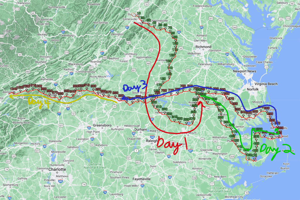
Day 1 plan – 320 miles from Staunton, VA down to Emporia, VA
Day 2 plan – 256 miles from Emporia, VA to Kitty Hawk, NC via Nags Head
Day 3 plan – 285 miles from Kitty Hawk, NC halfway across VA to Danville, VA
Day 4 plan – 200 miles form Danville, NC to Abingdon, VA or Bristol, VA/TN
Grand Total of about 1040 miles.
So that was the plan, this is how it all shook out after getting punched in the mouth by 10 hours of cold, sometimes heavy, rain — (Thanks Mike Tyson):
Day 1 – 258 miles from Staunton, VA to Emporia, VA
Day 2 – 171 miles from Emporia, VA straight to Kitty Hawk, NC
Day 3 – 288 miles from Kitty Hawk, NC to Danville, VA
Day 4 – 186 miles from Danville, VA to Abingdon, VA
Grand Total of 903 miles.
Day 1 – Staunton, VA to Emporia, VA via Lake Monticello
258 miles – 11,666ft climbing – 19hrs, 40 minutes
Long drive in beautiful weather followed by lots of rain
I waited until mid morning Monday to leave finishing up some things for work before heading out. The day was warm and sunny and perfect all day.
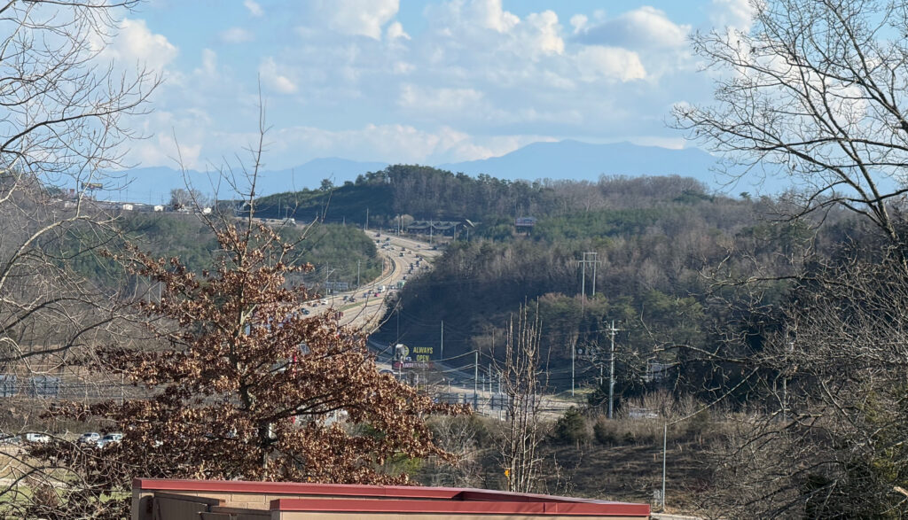
The weather forecast initially called for rain moving in from the east (weirdly) by 4am. But by the time I made it closer to Staunton on the drive from Birmingham, the weather forecast bumped up the rain to 2am. My initial plans to sleep for a bit went out the window, and I decided to start riding as soon as I got there hoping to get well into the ride before it started to rain and possibly even make it south of the approaching rain. Well, that was not to be. It started raining even before I left Staunton at about 10:30pm. It was very light misty rain, though, so I thought maybe it would pass. It did not. It got heavier such that by the time I made it through Waynesboro and started to climb up Afton mountain, I stopped under a railroad bridge to put on all my rain gear.
It was quite cold, too, for how much it was raining … hovering in the upper 40s and lower 50s. I kept hoping it would stop, but it did not. Even with all the rain gear on, I was wet and cold. My hands were freezing and my shoes were soaked through. I opted to ride without gloves so that they wouldn’t be wet all day when the rain was eventually supposed to stop. My hands did not function well as they got so stiff from the cold, and I debated about just turning around and driving down to Emporia, VA where I had a hotel booked and using that as a base for my next couple days of riding. But I couldn’t really work out the logistics for that without sacrificing a ton of riding. So I decided to persevere and try to make more of a direct approach to Emporia cutting off about 60 miles, still dipping down into North Carolina on the way, but not covering as many counties. Thankfully by the time I needed to start making some routing decisions, it had stopped raining so that things could dry out and I could navigate through all the phone screens.
Memories that get you through a cold, wet night
One thing that helped get me through the night was routing myself through Lake Monticello where I spent most of the summer every year growing up. The rain had lightened up to a mist when I got confused by a large roundabout and went the wrong way before turning around and making my way into the back entrance of Lake Monticello. I remember this back part of LM as quite hilly with the tennis courts we’d drive over to hit tennis balls and yellow jackets (they were everywhere). The tennis courts are gone, replaced with a couple houses. After crossing over between holes 14 and 15, I turned to climb up alongside hole 14 which was a steep dropoff downhill when playing. There was a bell at the bottom of the hill you rung to let the people up at the teebox know that you were done hitting and they could hit (you couldn’t see over the hill). I was debating about riding the golf cart paths backwards up the steep climb on hole 14 but there are so many houses now right next to the holes and my light would be quite bright and might wake somebody up or get security called (it was about 3AM). At the top of the road that paralleled 14, I debated about turning right heading to a dead-end and possibly hopping onto 13 to ride the cart path back to hole 12 along the creek where we used to see water moccasins while hunting for golf balls and then finally to the par 5 11th where my grandparents lived many years ago. But this would take you close to both the clubhouse and the maintenance shed and would be tricky to get over to see the actual house on the other side of the fairway. So not wanting to cause any problems and also still having well over 200 miles left to ride for the day, I decided to just take the roads. Still, I almost missed the turn to make it down to the little connector road that dipped down and then up to Beaver Dam Terrace (now renamed Fairway Dr … why would you change such a cool name?) and a left turn and there it was … my grandparents’ house from my childhood. So many summers spent on that porch playing board games watching it pour down rain or coming back after a round of golf and drinking a bottle of rc cola or pepsi, whatever was on sale that week. Or coming back from Beach #3, sunburnt and tired. The gravel driveway has been paved, and Fairway Dr is perfect tarmac instead of the rough chip/seal I remember learning to ride a bike on when it was still named Beaver Dam Terrace. It was 3AM and a security light came on as I rode by so I got a good glimpse of the house but with it raining again I didn’t even stop to take a pic. I just kept on riding, lost in so many memories. I’m tearing up now just writing about it. I have been so blessed with so many, many things, so many awesome people in my life and so many fortunate opportunities to experience this amazing world. Yes, there has been a ton of nastiness, too. But you take the good with the bad. This too shall pass. Not just the bad, but also the good. It all goes away in the end, I just hope to leave a mark in this world that is a net positive somehow.
Thoughts of turning around
I was pumped up with all the memories by the time I left LM, but it didn’t take long until the rain which had picked up again sucked the life back out of me — especially given the temps continuing to hover around 50degF in the pre-dawn hours and traffic starting to pick up. I started to debate my bailout options, again, and they all involved riding quite a ways back to Staunton through morning Charlottesville rush hour traffic in the rain. That was not going to happen. Also, the logistics of what to do then were not great. Better to just tough it out and make it to the end of Day 1 with perhaps a shortened route. So that’s what I did.
These were all new counties to me southeast of Fluvanna County. It stayed quite rural for many miles all the way into North Carolina. Rain stopped by mid-morning , and I enjoyed many miles of rural relatively light traffic roads. I ended up getting a pinch flat when I turned onto US Hwy 158. I didn’t run over anything. But the tire went flat instantly. I think the tube had been pinched for several days. But had finally had enough when I turned sharply onto 158. The events of Demon Copperfield take place near Hwy 58 in Lee County, which is referenced a number of times in the book. I spent a good bit of time on this ride on both highway 58 and its tributaries (US 158 and US 258) which cross the entire state near the NC/VA border and continue all the way out as the main road through the Outer Banks of North Carolina.
Pinch flat kindness
I don’t remember hitting anything at all, but the tire went from not flat to flat very quickly. And when I stopped to change it at the 158 intersection, I couldn’t find anything sharp in the tire at all. It ended up taking 30 minutes to change the tire because the tire was brand new and not stretched well and would keep pinching the tube underneath one section. Thankfully I would catch it before pumping it up too much, but then have to let some air out and try again. Eventually, I got it but I used up both CO2 cartridges to get it up to a high enough pressure (given all the air I had to keep letting out). I still had my pump, too, but it’s always nice to have more pressure to prevent future pinch flats, especially after already having one pinch flat.
During this time, I had four or five different people roll down their window at the intersection and ask me if I needed help. I declined and one guy said that he would be coming back this way in a little bit to check on me again. I told him that if I was still there working on the tire when he came back that I might need to hitch a ride. He said, no problem, but even with a 30 minute change, I was gone by the time he came back. No pictures at all of my flat tire or my setup changing it. This is a good sign that I was a little bit worried and trying to get it changed as quickly AND carefully as possible … no free hands to take a pic or set anything down.
About 30 minutes later, I was rolling again on Hwy 158 where traffic was very busy with many trucks. Thankfully, I was only on it for half a mile before turning onto another state route that ended up crossing on the north side of Lake Gaston heading towards Emporia. With Hwy 158 veering to the south around the lake, this state route also was quite busy. It had a decent shoulder, though, and traffic was nice. I had about 40 miles to go and spent the rest of those 40 miles wondering if my rear tire was holding air. I typed in “Walmart” to google maps and found that the nearest one was pretty close to my hotel in Emporia.
I made it to Walmart by about 6pm, and it was busy with lots of people standing around outside the store, but I ran in as quick as I could with my bike unlocked hoping to buy replacement tubes and CO2 cartridges. Unfortunately, they did not have any CO2 cartridges and only one tube that was the right size. They had a $10 relatively small floor pump and I seriously thought about buying it and strapping it to my backpack. But there were also two more tubes for cyclocross tires (35-42mm) so I got those as well wondering if the wider tube might help with pinch flats since I wouldn’t be able to pump it up as much with my hand pump if I flatted again. I need not worry the next day as I wouldn’t flat again until pretty far into the third day of riding. That one was a copper staple that was still gouged in the tire when I went to change it. More on that after Kitty Hawk and Kill Devil Hills!
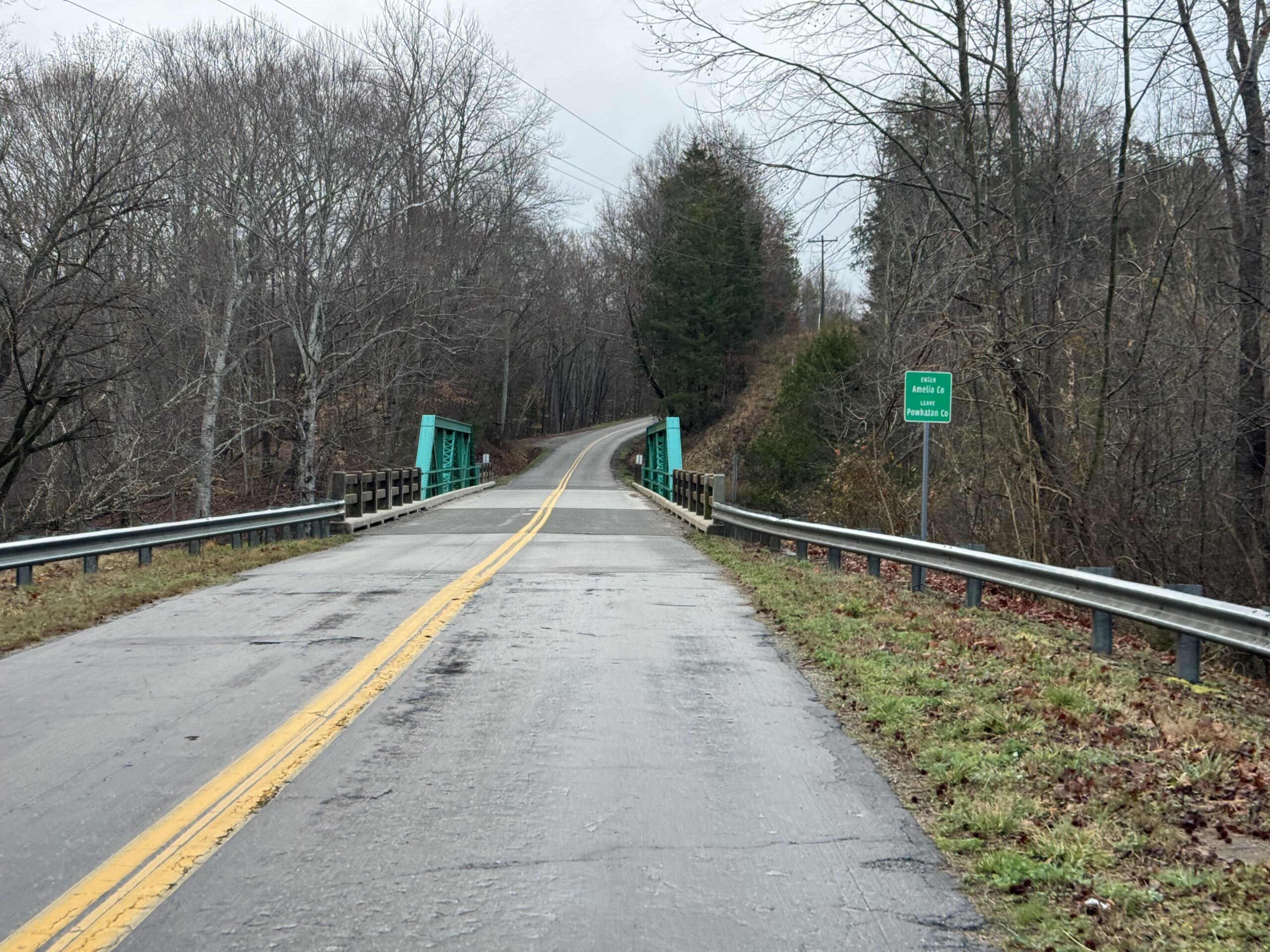
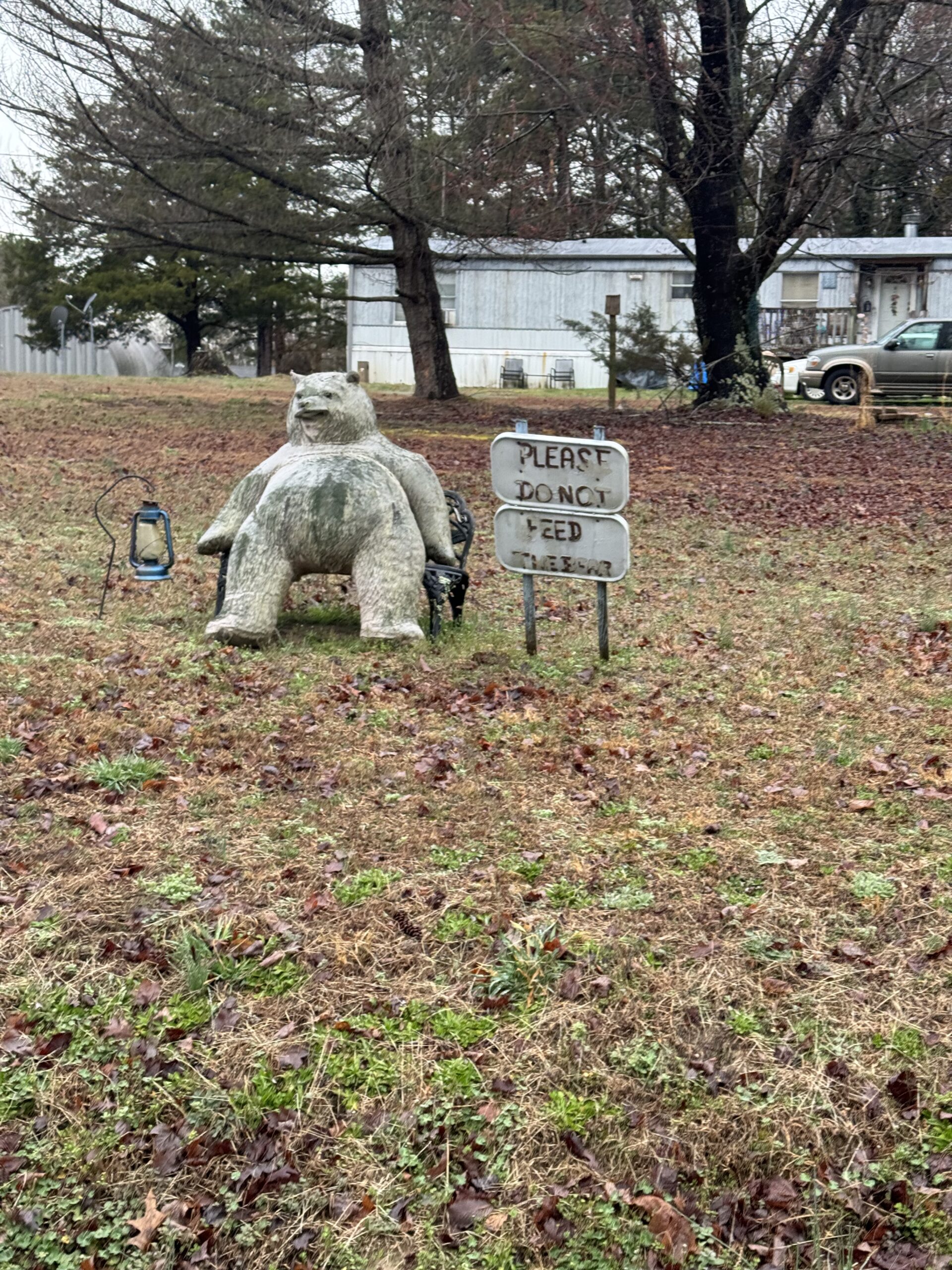

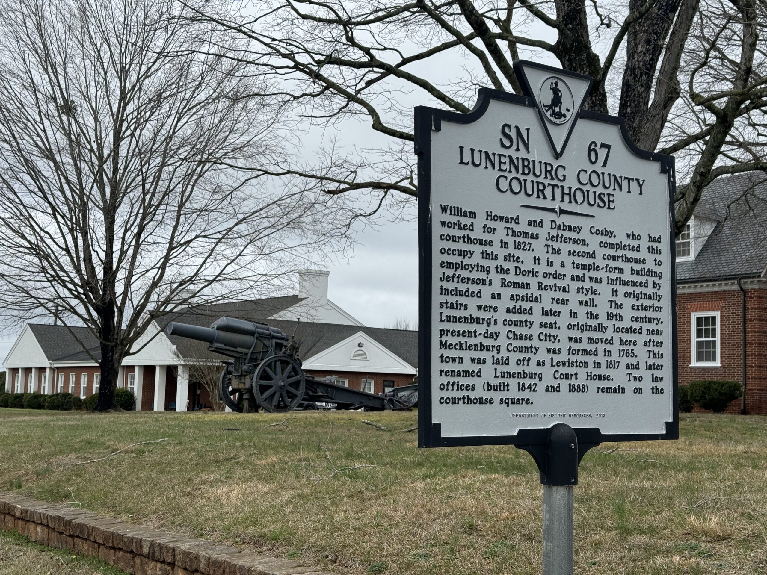
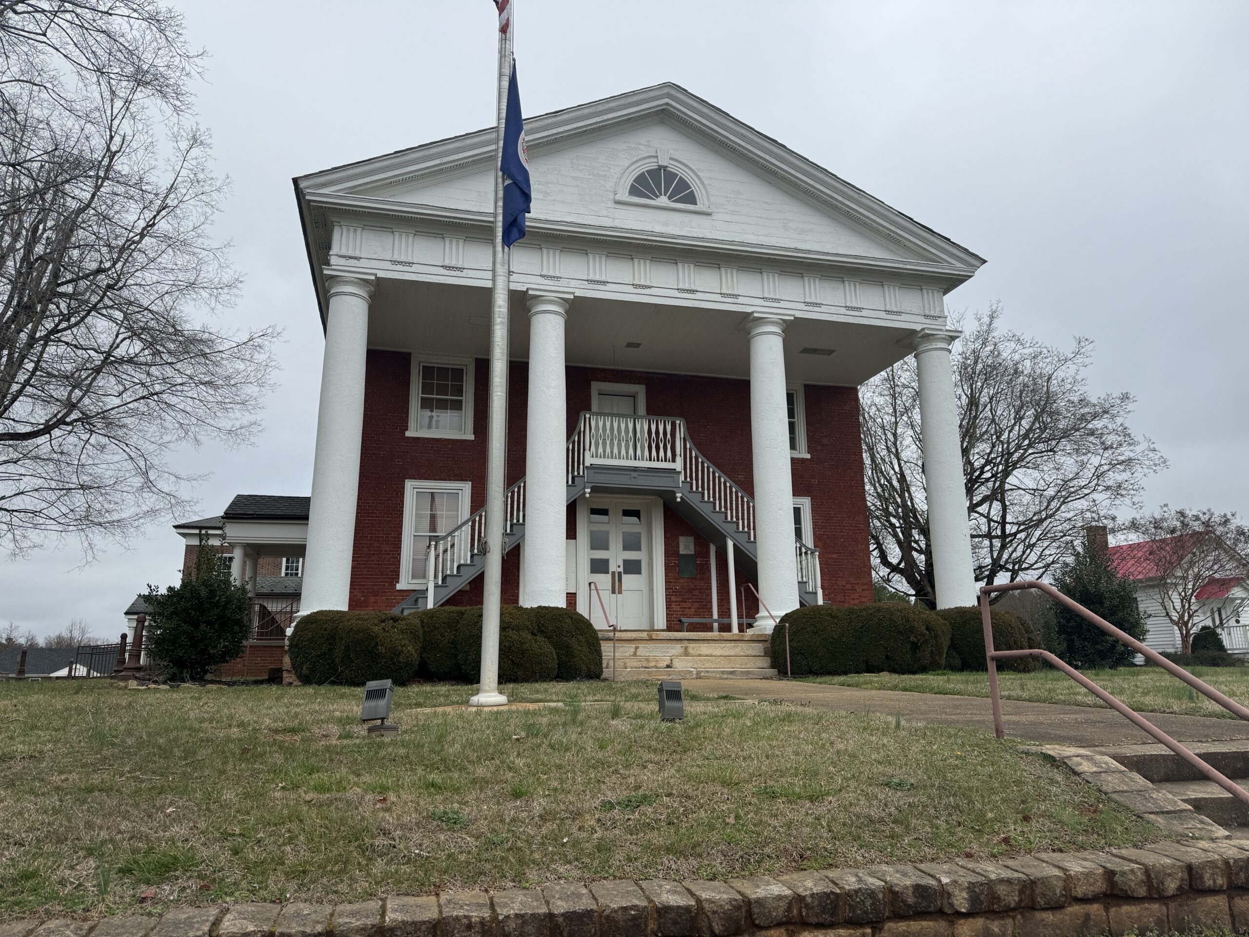
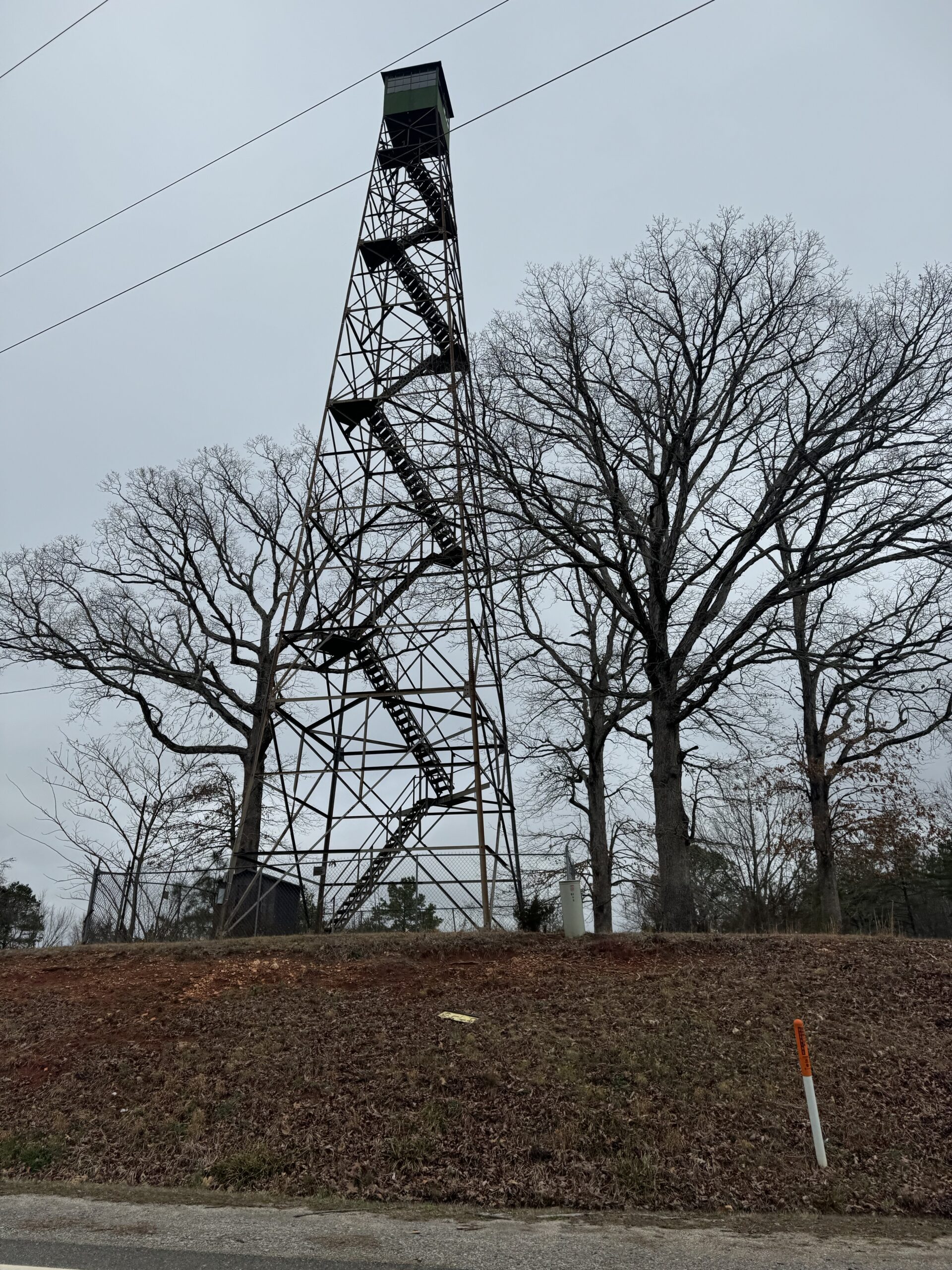
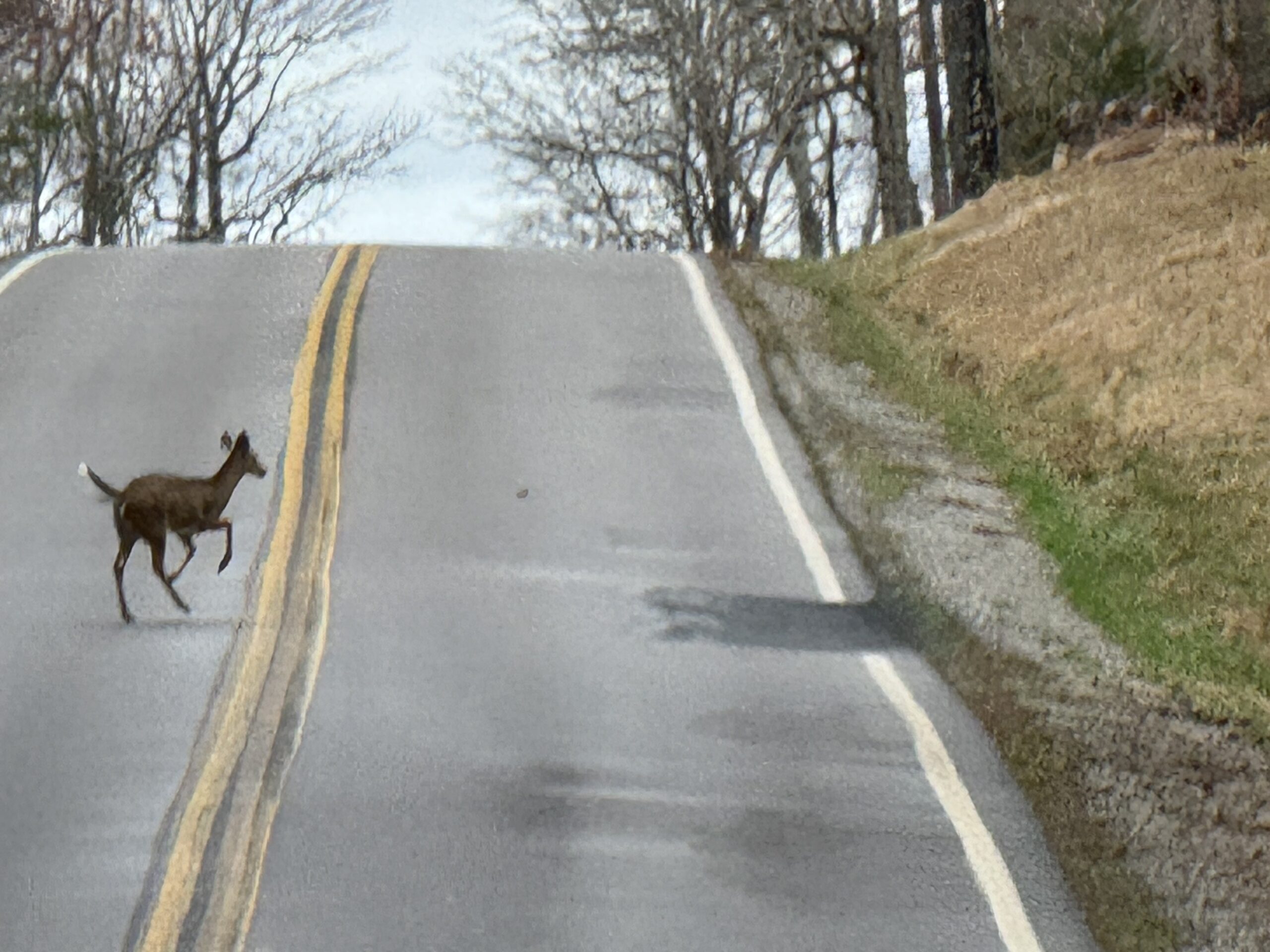
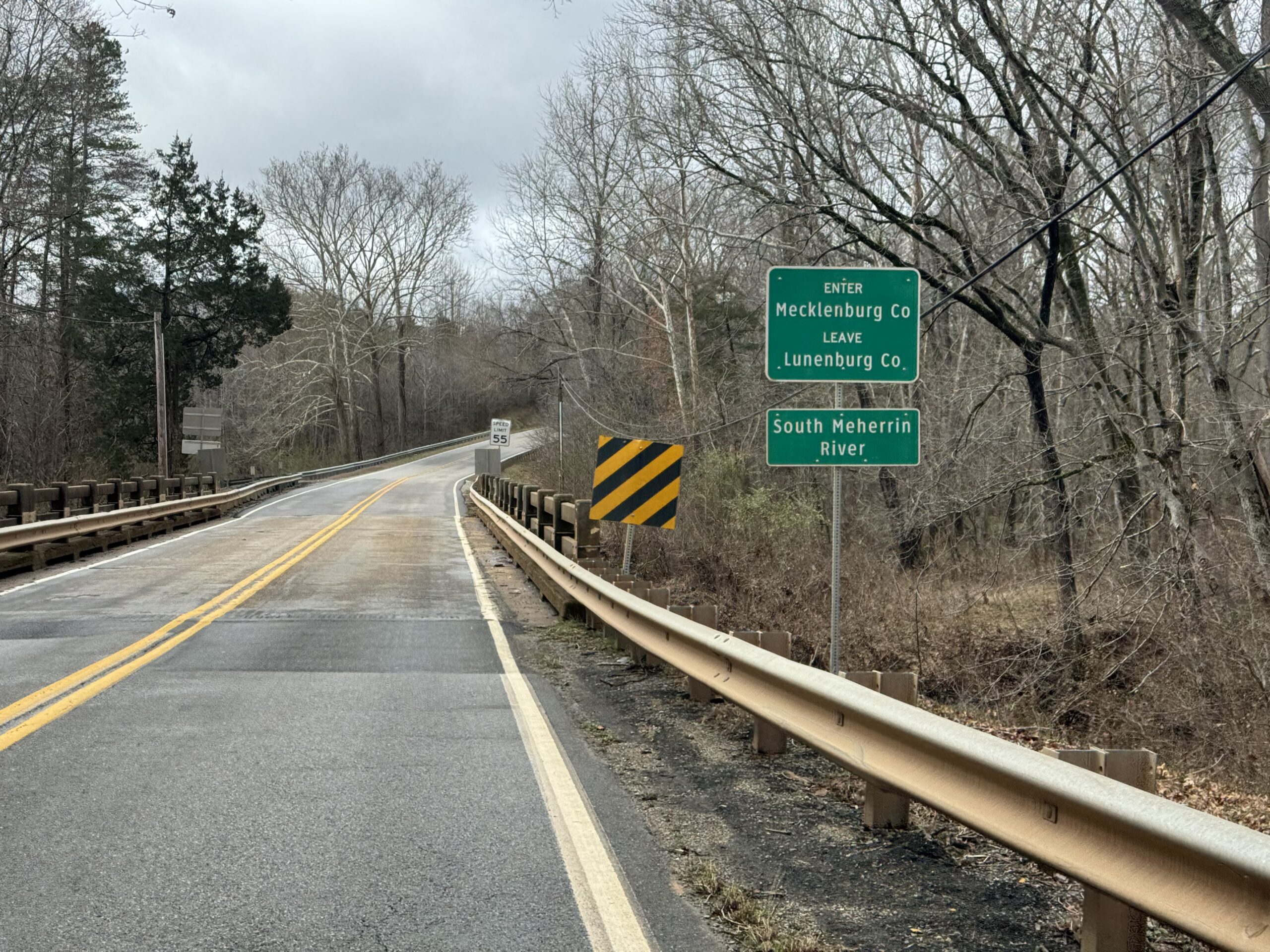
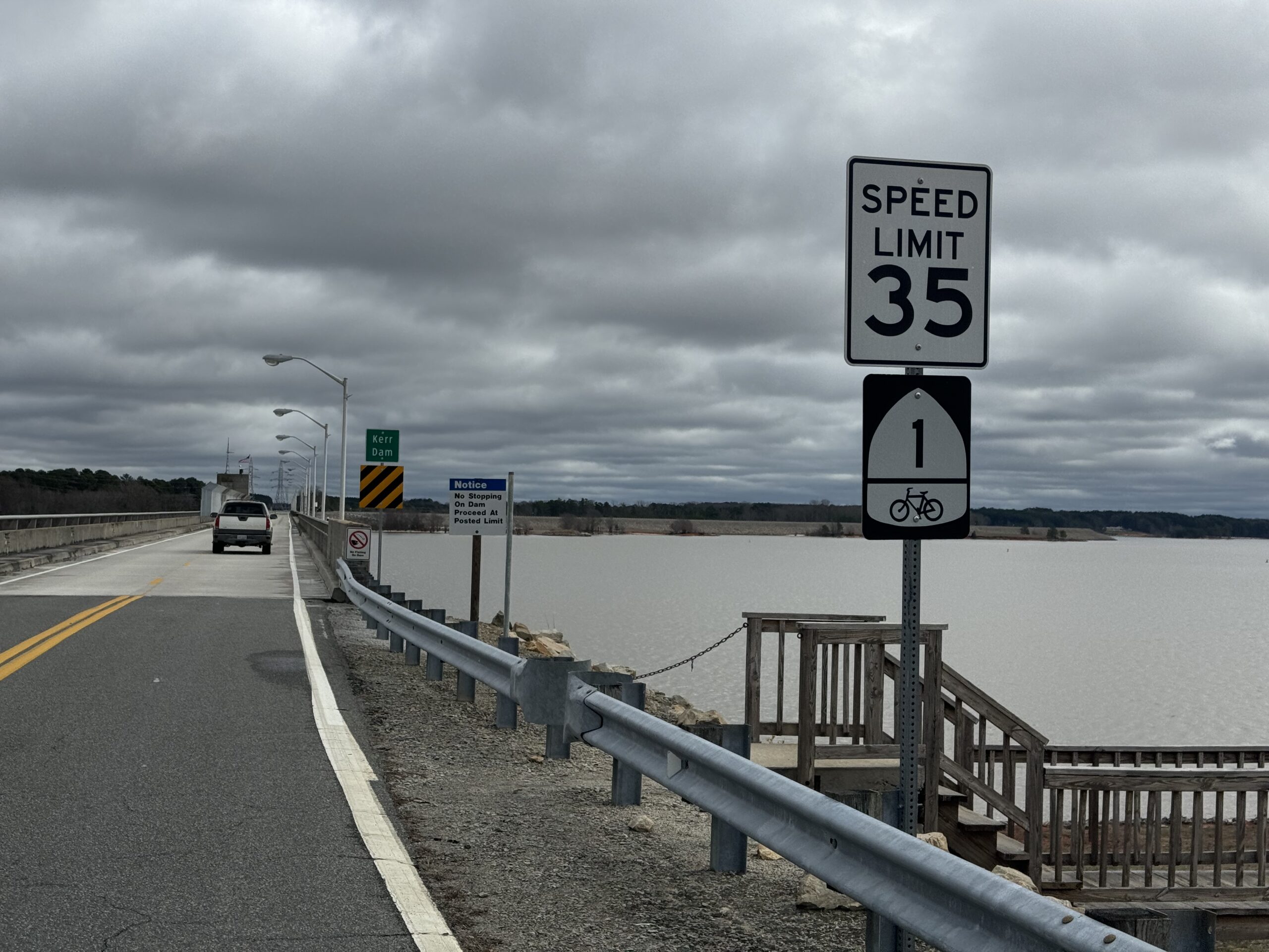
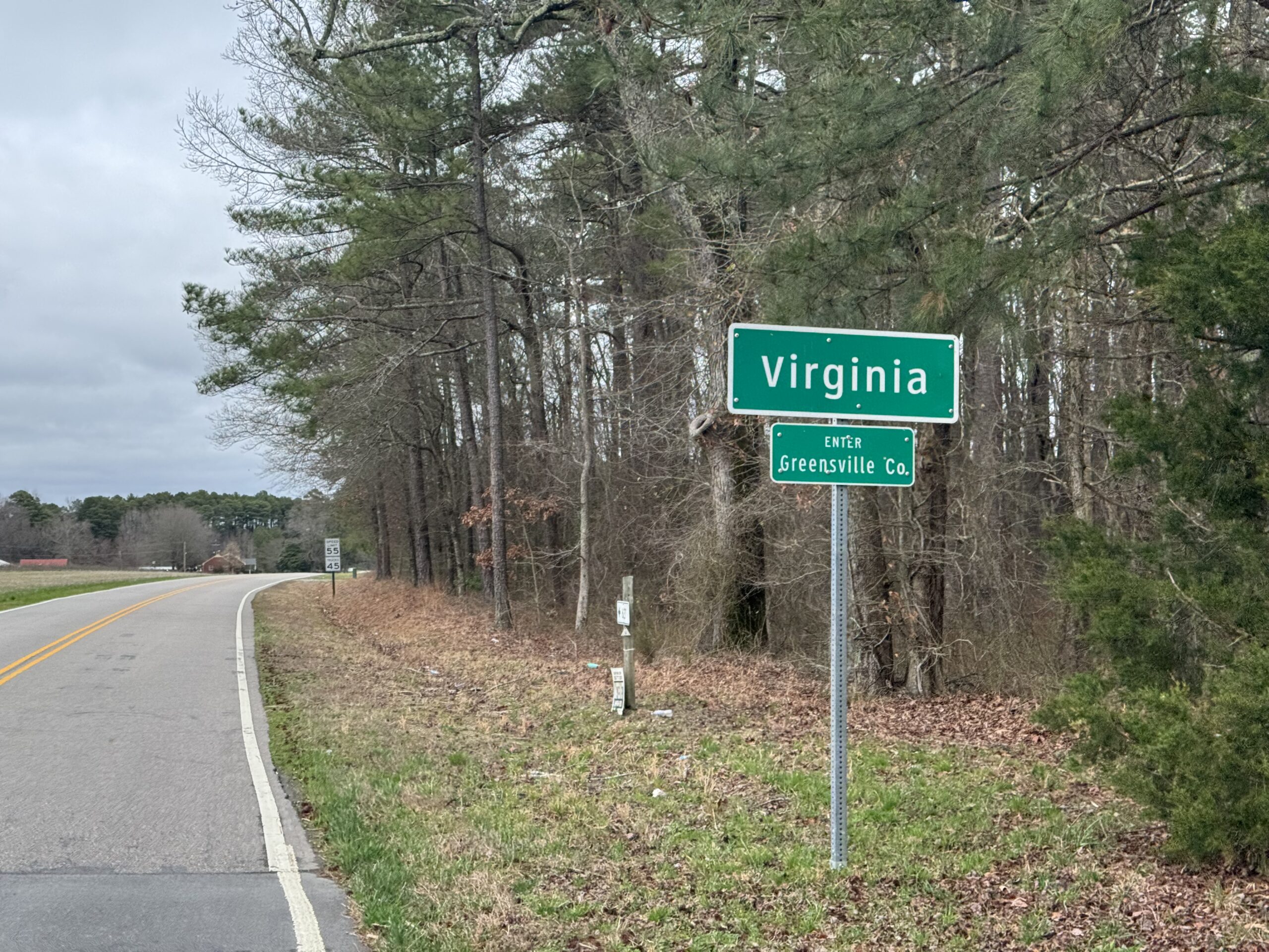
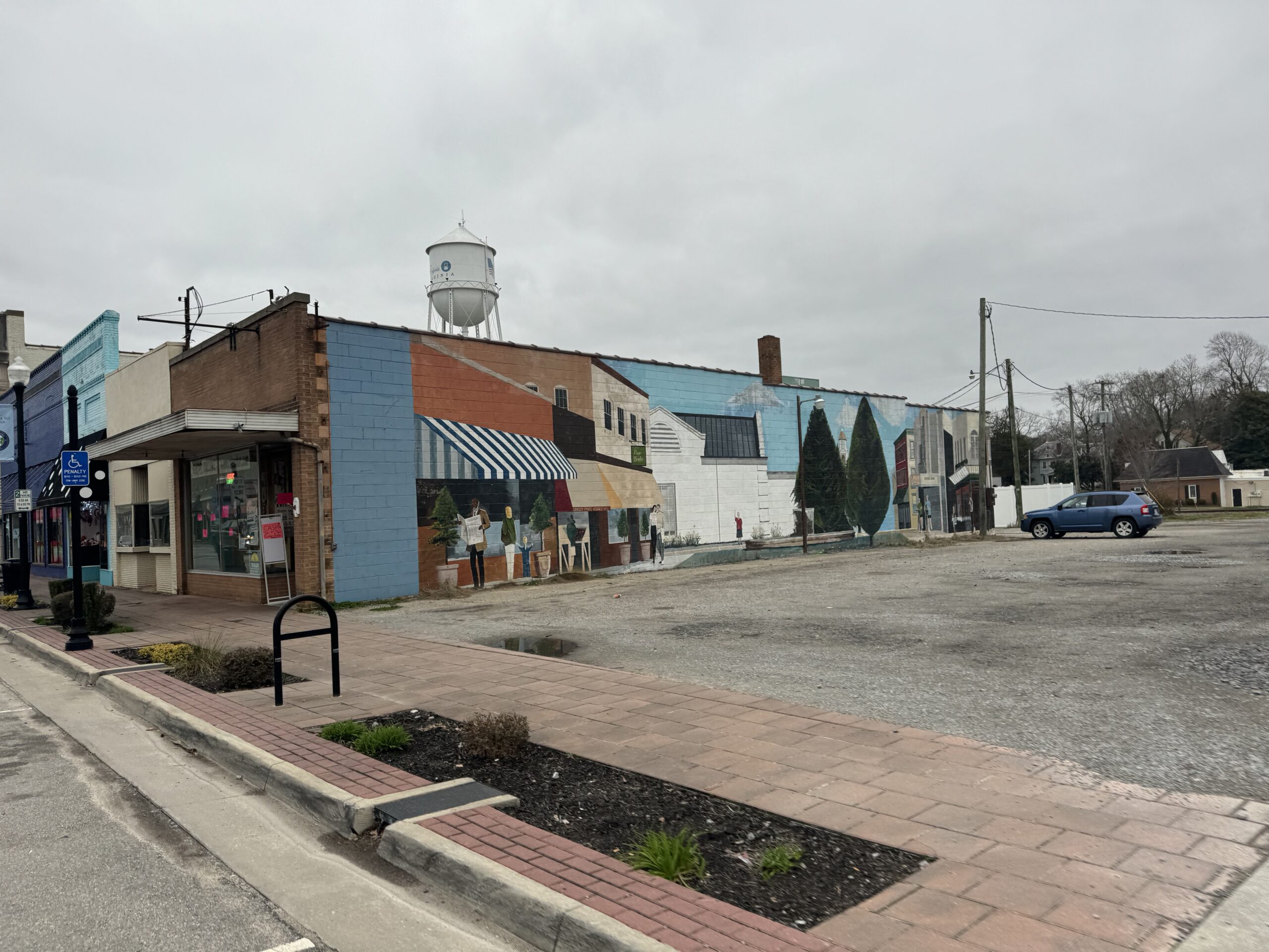
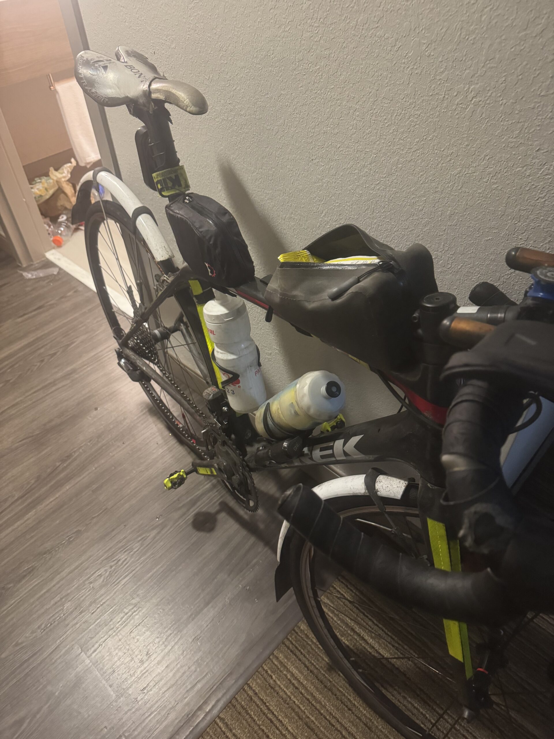
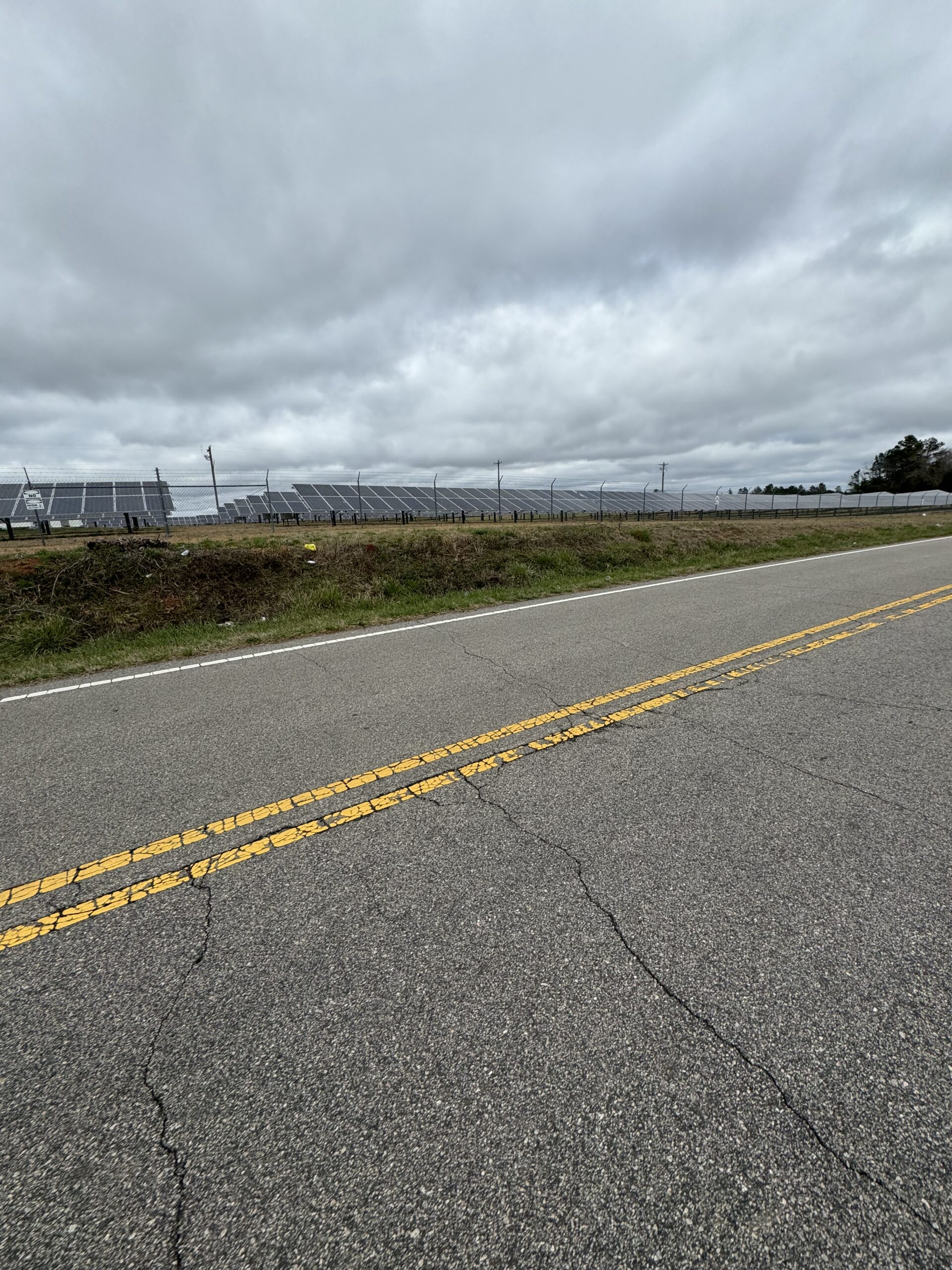
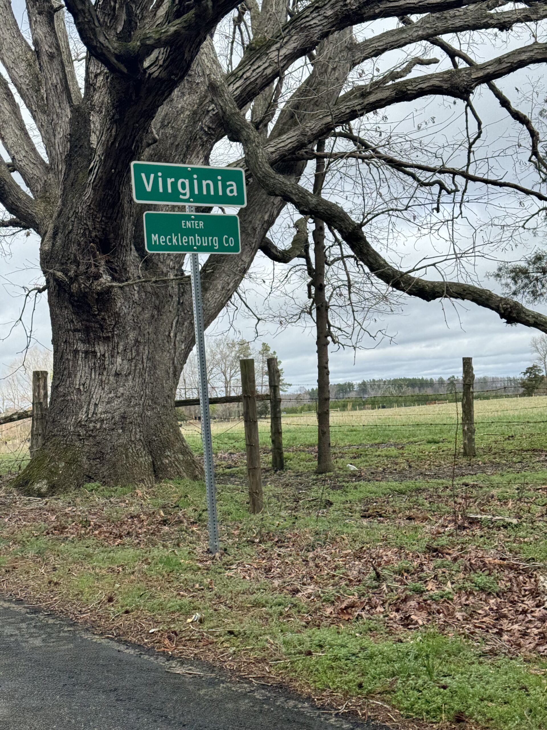
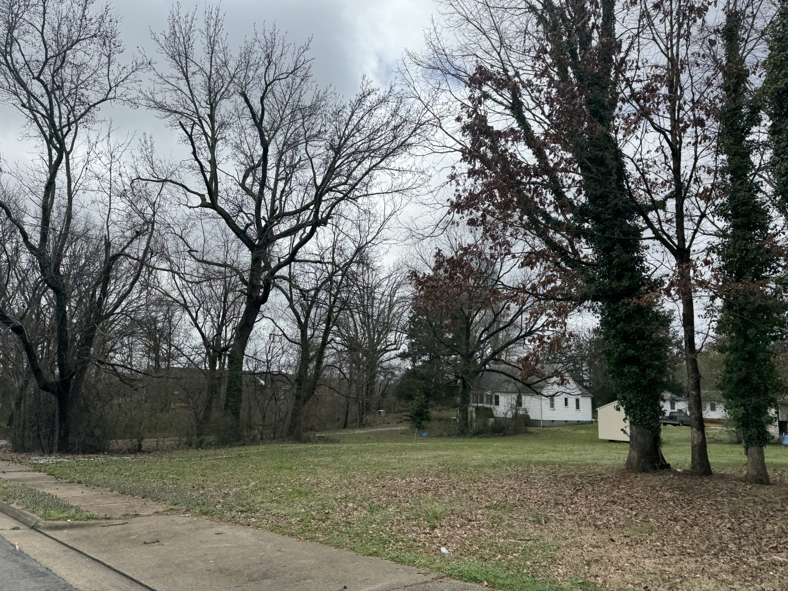
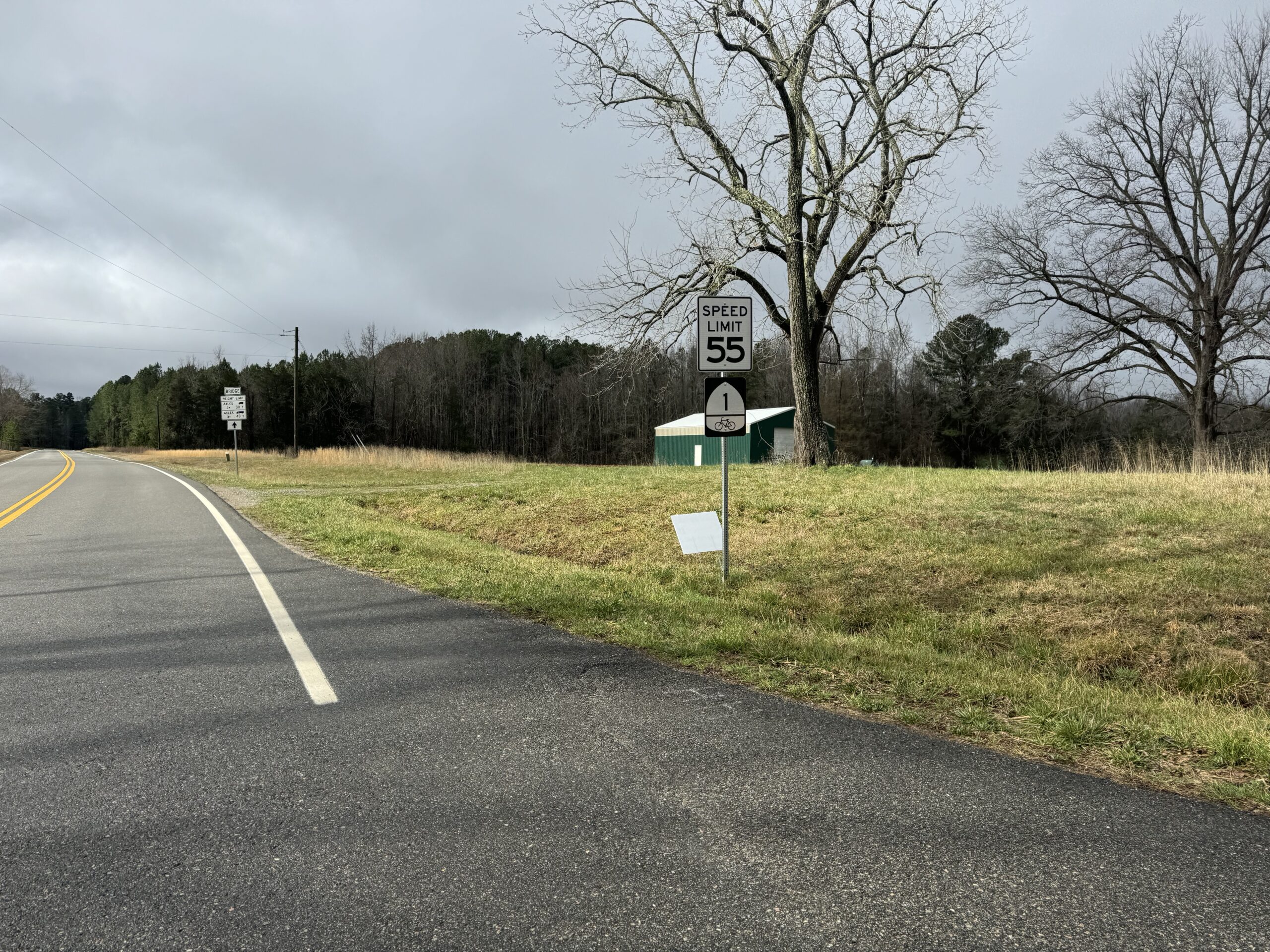
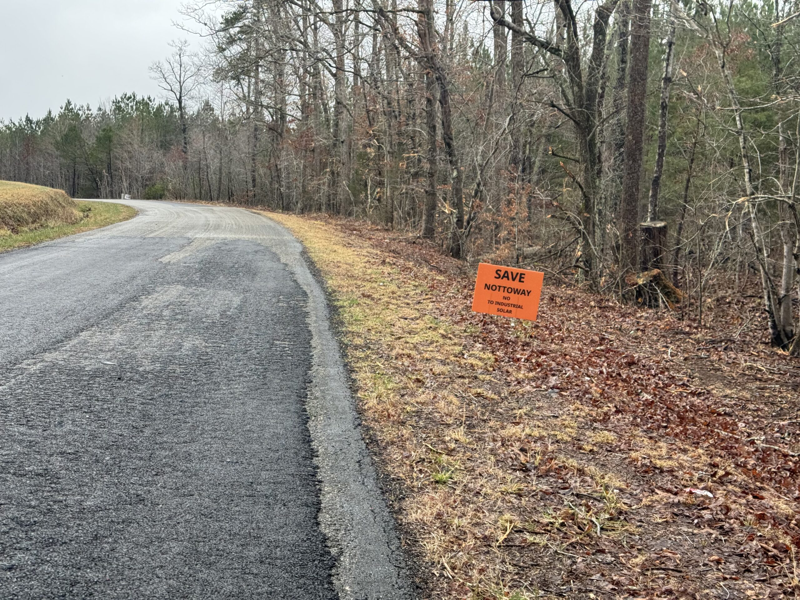
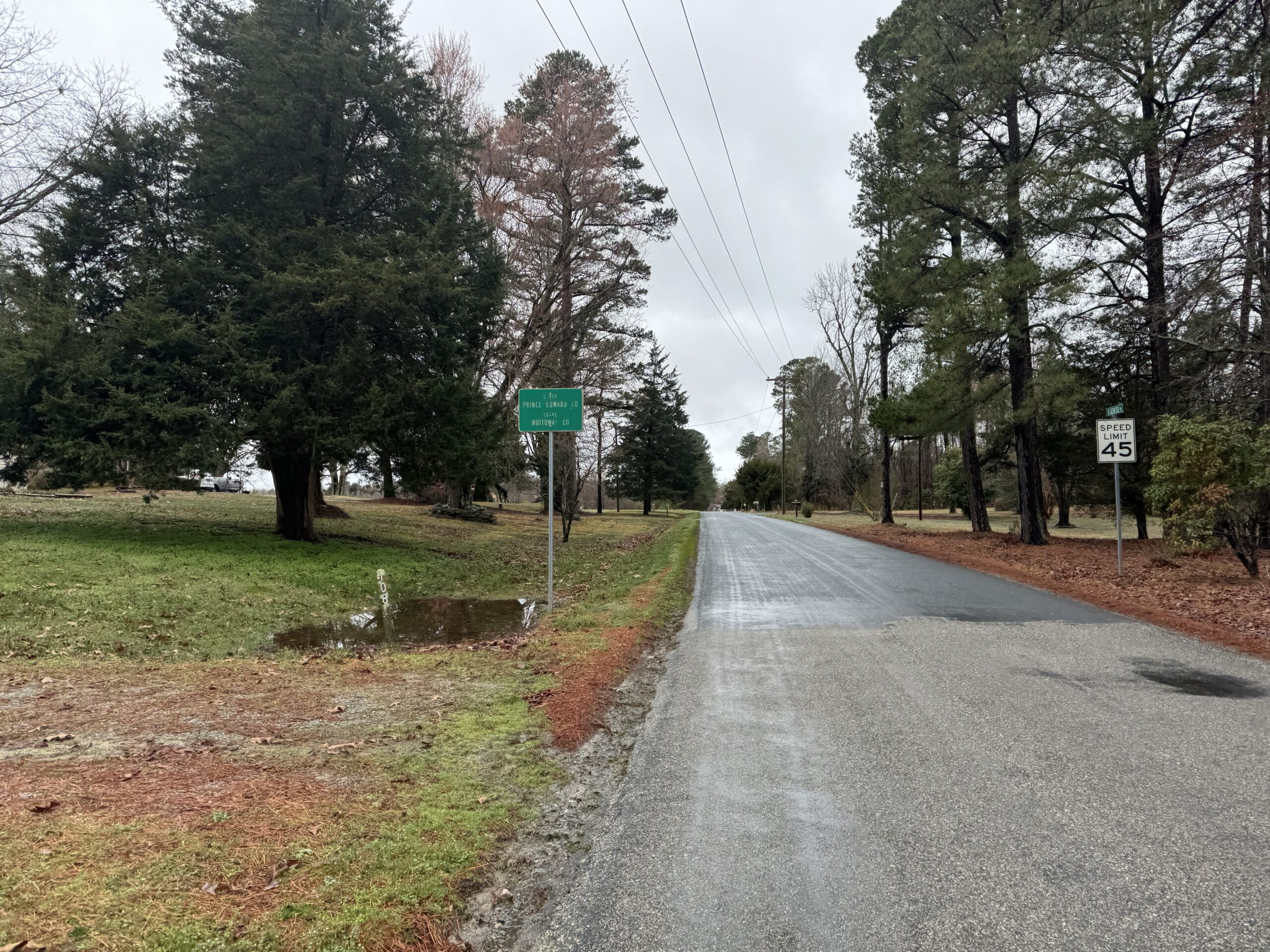
Day 2 – Emporia, VA to Kitty Hawk, NC via the Wright Flight Memorial
171 miles – 2,392 ft climbing – 14 hrs, 45 minutes
This was the day that was supposed to have the most rain. I was out the door not too long after midnight and enjoyed several hours of rain-free riding. It was fast, good temps, and fun. Then an hour or two before sunrise it started to rain and it basically did not stop raining the rest of the day except for a couple times where it was just mist in the air. Most of the day it was raining. I had to do some re-navigating several times as I was trying to shorten the route and Google Maps refused to take me on one of the busy roads and instead tried to route me through the Great Dismal Swamp on one of the levees. The levee was not easily road-bikeable (too much gravel) — especially given the low rear tire pressure I was running and fear of pinch flatting again.
The swamp itself and all the creeks leading up to it were fun to play the “alligator or log” game where every log could be an alligator but is usually just a log. I knew that there are gators in this part of North Carolina, but I was pretty sure they were limited to a state park I was going to visit the next day. Still, if they are in the state park, they could be outside as well! In the cold rain, I wasn’t expecting to see any, though. And I’m pretty sure everything I saw was logs. Lots of turtles on logs, though. And lots of birds. So many blue herons. I crossed through the swamp on several miles of a fast stretch of US-158 that had so many trucks. Even with a small shoulder, I pulled off the road when there was oncoming traffic with a truck coming from behind at the same time. Most of the time the traffic was timed OK so I didn’t have to do that, but it was definitely not a road I would route myself on again in the pouring down, gray rain.
After a few miles, I left Hwy 158 to make it around to a couple of state highways that were relatively low traffic given the proximity to two much larger US highways (where most of the traffic was). I did have to rejoin with US 158 again, which is the only road that makes it all the way to the outer banks. There were a couple side roads off of it, I was able to use including one that took me straight through a forest to what I thought was the ocean, but was actually just a large section of Currituck Sound. These sections of US 158 were all four lane with a much wider rideable shoulder.
I had a nasty headwind the entire time I was heading south out onto the outerbanks proper, but the rain had mostly stopped. So it was slow going. By the time I made it to the hotel on the north side of Kitty Hawk, it was threatening rain again. I checked in so I could drop off my backpack before heading a few more miles farther south to Kill Devil Hills. By the time I left, it was pouring down rain. I made it over to the beach road which was flooded in a few spots but was able to ride one of the boardwalks between the dunes so I could at least get a glimpse of the Atlantic Ocean proper. Then I continued on to the memorial. Since it’s a national park, I knew there would be an entrance fee, but it would be worth it. The sign said $10, but the booth had a post it note that said this booth is temporarily closed. It was the only booth to get in and the gate was wide open, so I took it to mean that with the nasty weather during the middle of the week, they were letting people in for free!
I knew from looking at the topo maps of the area ahead of time that the hill was quite large. They had all kinds of “no bicycling, skateboarding, etc…” signs at each of the possible places you could enter the hill to climb up to the large statue at the top. I was the only person anywhere in the park, but I was also in full view of the ranger station which did have a few park vehicles in it. So I didn’t want to risk trouble and rode all the way around hoping for an actual road to the top on the backside. But alas, it was all sidewalks. I wanted to walk my bike up to the top, but figured that might still cause problems. So I walked with it about 1/3rd of the way up when I was still low enough behind some trees to be obscured from the park rangers view. Then I walked the rest of the way up without the bike. It was impressive all you could see from up top, and it was especially fun to imagine that first flight taking off from the top of the hill. Signs said the flight lasted 12 seconds which seemed like it would carry you several football fields away from the top given how high it was.
Back on OBX everywhere on billboards, eventually figured out that stands for Outer Banks. Also, they all had mile markers indicating where the shop was located. MP 8.5
Day 3 – Kitty Hawk, NC to Danville, VA via North Carolina gators
288 miles – 7,976 ft climbing – 22 hrs and 14 minutes
Day 4 – Danville, NC to Abingdon, VA through the big mountains in the rain
186 miles – 14,049 ft climbing – 14 hrs and 52 minutes
Riding from Birmingham to the Chief Ladiga Trail 18 Mar 2024 3:41 AM (last year)
This is mostly just a place to document some of the options. But I would like to also state that people who don’t ride 20,000 miles on a bicycle every year don’t have a good perspective on the hierarchy of dangers in cycling. For example, riding a two-lane county road with a speed limit of 55mph is far more dangerous than riding a 70+ mph speed limit interstate if the shoulder is good and wide enough. There’s a good reason why many states out west allow you to ride a bicycle on interstate highways.
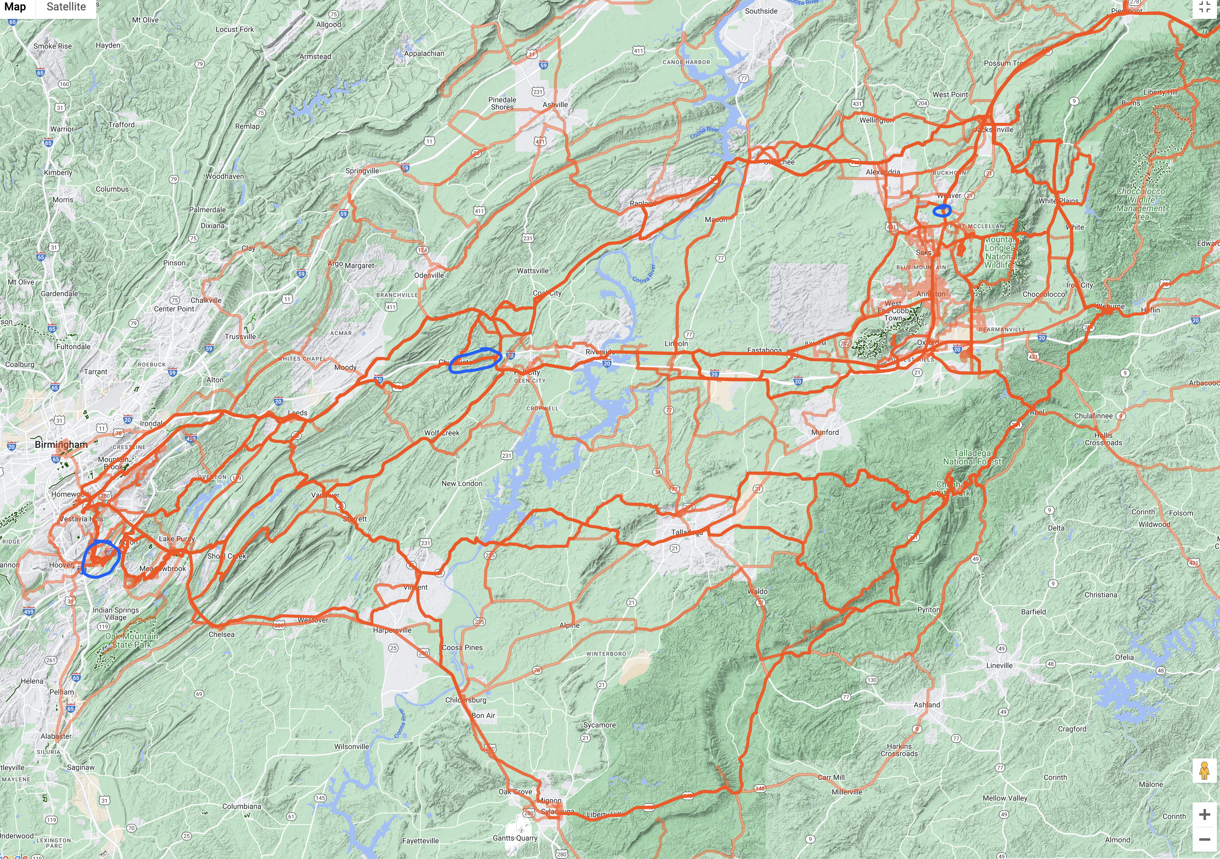
Here’s the full list of 56 routes I’ve taken:
https://strava.com/activities/4981326692 https://strava.com/activities/5310319844 https://strava.com/activities/5785544247 https://strava.com/activities/6025557428 https://strava.com/activities/6055322298 https://strava.com/activities/7150232711 https://strava.com/activities/8318725028 https://strava.com/activities/3840540913 https://strava.com/activities/3489715159 https://strava.com/activities/3296117260 https://strava.com/activities/3163647989 https://strava.com/activities/3123551055 https://strava.com/activities/3043227397 https://strava.com/activities/2836518583 https://strava.com/activities/2769248911 https://strava.com/activities/2483741530 https://strava.com/activities/2453494144 https://strava.com/activities/2381917083 https://strava.com/activities/2354889872 https://strava.com/activities/2324095737 https://strava.com/activities/2209933712 https://strava.com/activities/1945665540 https://strava.com/activities/1817716400 https://strava.com/activities/1777268003 https://strava.com/activities/1669203051 https://strava.com/activities/1585699491 https://strava.com/activities/1259922615 https://strava.com/activities/1143960386 https://strava.com/activities/999712058
https://strava.com/activities/997817720
https://strava.com/activities/982031395
https://strava.com/activities/958103437
https://strava.com/activities/921340628
https://strava.com/activities/768351051
https://strava.com/activities/738618814
https://strava.com/activities/720626892
https://strava.com/activities/847547492
https://strava.com/activities/829984946
https://strava.com/activities/577579716
https://strava.com/activities/529407534
https://strava.com/activities/407358597
https://strava.com/activities/318605625
https://strava.com/activities/306809251
https://strava.com/activities/279560981
https://strava.com/activities/276228178
https://strava.com/activities/250970217
https://strava.com/activities/243902736
https://strava.com/activities/127599295
https://strava.com/activities/3921353
https://strava.com/activities/8545851139 https://strava.com/activities/8672729375 https://strava.com/activities/9024043215 https://strava.com/activities/9116750903 https://strava.com/activities/10361396064 https://strava.com/activities/10016650663 https://strava.com/activities/9817892328
A tale of weather, Sir Arthur Eddington, counties, and Pike’s Peak 12 Dec 2023 5:39 AM (last year)
TLDR
Adventure 1 – Thanksgiving – I attempted a 550 mile out/back-ish (tight loop) from Birmingham to Panama City Beach and back to record my own GPS data for Washington and Bay counties in Florida. The ride was going to be split into 265 miles there and 285 miles back for back-to-back Eddington 256 rides. Nasty rain and headwind turned me around before Montgomery for a 142 mile out/back in pouring down rain. Later that same day, I drove down to the beach through a ton more rain, spent the night and then did a 108 mile loop starting at about 3am. On the way back, I did a 28 mile ride from Troy University out/back to the highest point in Pike County, which surprisingly is NOT called Pike’s Peak (but there is now a Strava segment appropriately named). Grand total: 0 Eddington 256 rides, 2 “new” counties, and 1 new county high point – 268 miles.
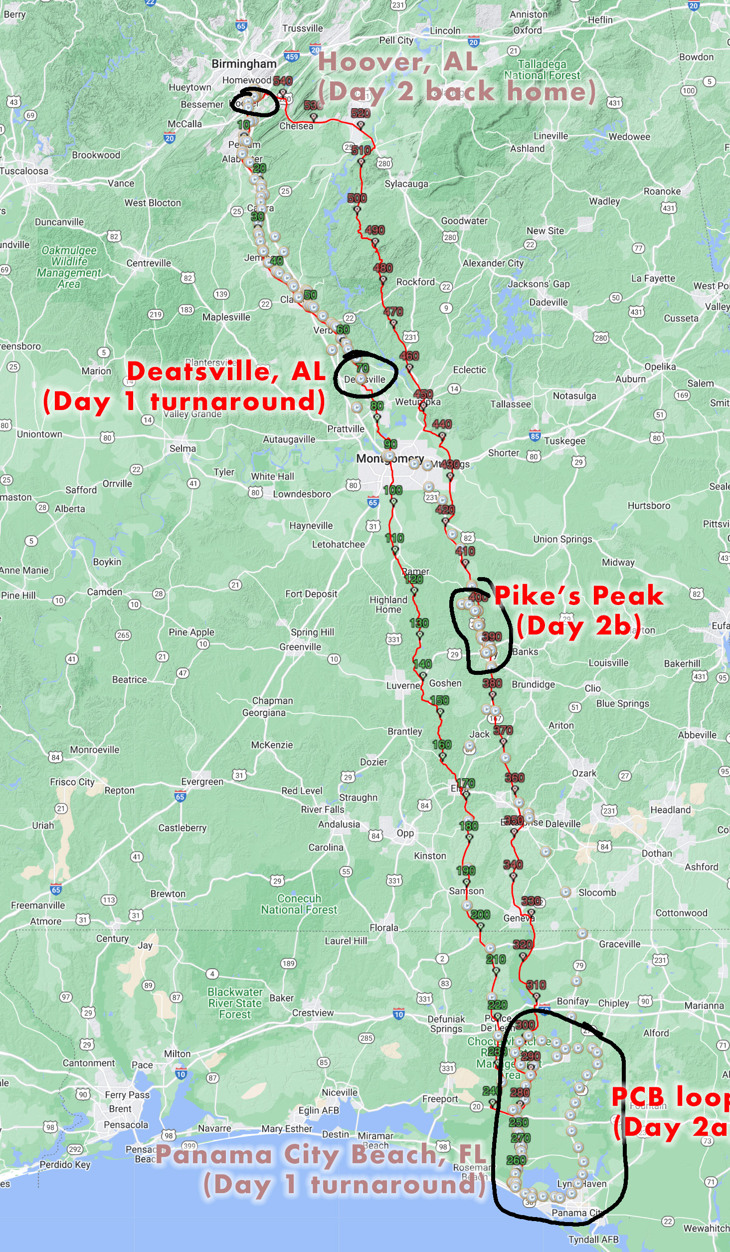
Adventure 2 – Analise Rendezvous post-fall semester – I attempted a 540 mile one way commute (again to be split up into two Eddington 256 rides) from Birmingham to Bristol, Virginia to meet Analise on her drive home from college. Nasty rain and storms diverted me off the route to the safe side of the mountains and only made it to the far side of Knoxville. Grand total: 1 Eddington 256 ride, 0 new counties, and 0 new county high points – 367 miles.
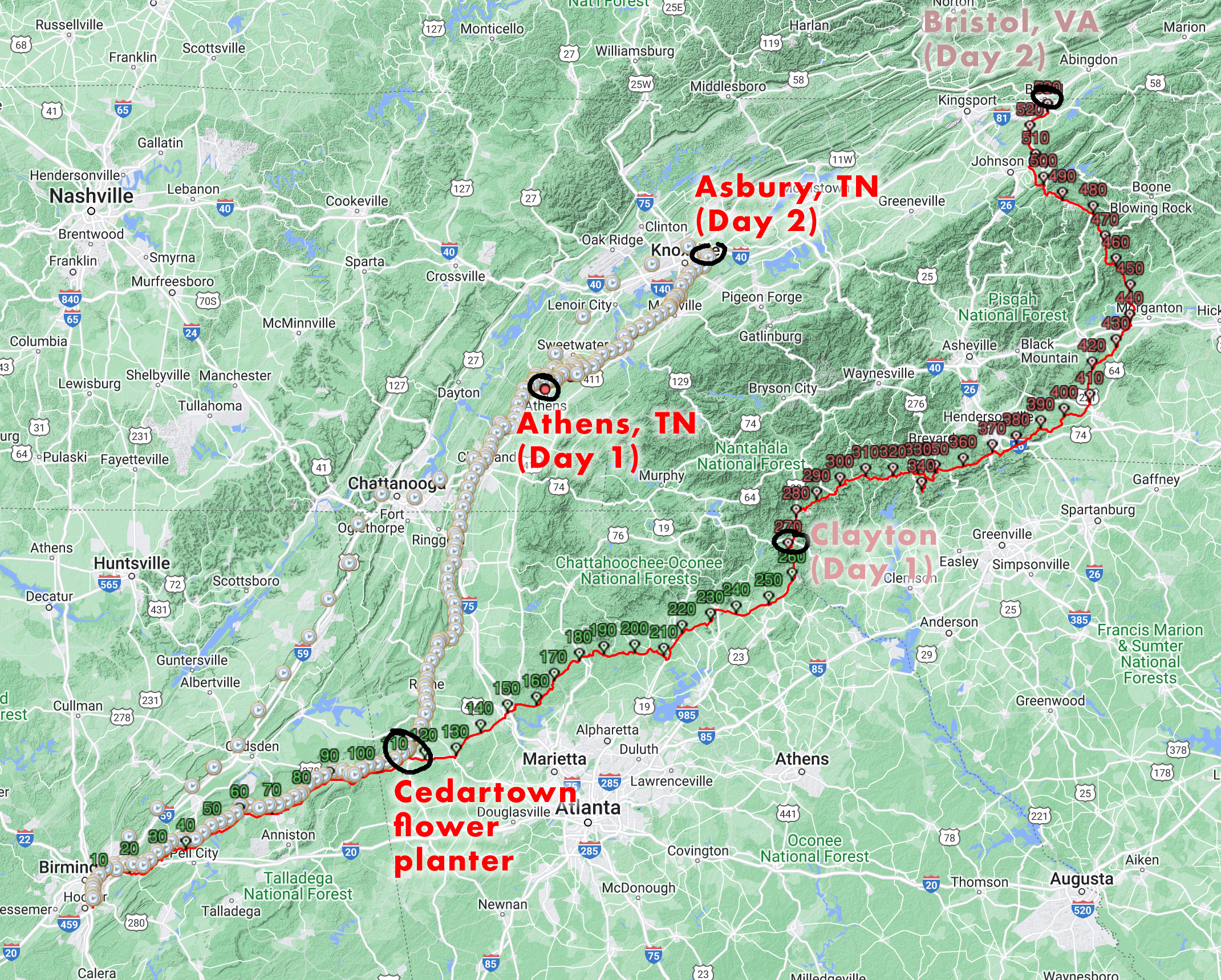
Sir Arthur Eddington
Sir Arthur Eddington (wikipedia) was a renowned physicist, and like Albert Einstein, liked to ride his bike! In physics, Eddington postulated a number that was important for trying to establish a grand unified theory of the universe. In cycling, he came up with a unique (and quite devious) way of measuring the repetitiveness of long distance cycling achievements. This number, known as the Eddington Number E, is calculated by determining the number of days you have ridden a given distance. A life-time Eddington Number of E means that you have ridden E miles as least E days/times.
According to at least one wikipedia editor, this number is analogous in the cycling world to the h-index in the author world as a way of measuring scientfic productivity and scientific impact of research scientists. I like to view this number as an exercise in goal-setting. If you set your goal too low, then you will end your long rides too soon so that they won’t count for a higher number. If you set your goal too high, then you may never make it to your goal at all. You’ve got to find the right goal for how much time you are willing to devote and how long you think you will live.
I had set a lifetime goal of 200, but I blew past that goal several years ago as I retired from serious racing and started more traveling and ultra distance racing on the bike. I increased the goal to 250 miles thinking that was a good stretch goal. But then last year, I realized that I’m likely to hit that goal within the next decade. So I pushed it out farther to 256 miles. That may not sound like much more than 250 miles, but to put it into perspective, as of December 2023 I have ridden 250 miles on 160 days meaning I only need to ride 250 miles (or more) 90 more times to increase my Eddington Number to 250. But I have only ridden 256 miles on 132 days meaning I need to ride 256 miles (or more) 124 more times to increase my Eddington Number to 256.
This year, however, I did 23 “Eddington 256” rides. At that rate, I could hit the Eddington 256 number by as early as late 2029 or early 2030. I’m getting old, though, and my body is starting to show the wear and tear of so many miles on the bike. So a more realistic lifetime stretch goal should probably be an Eddington 300, but for now I really am going to focus on these 256 mile rides because they fit within my time constraints nicely whereas the extra 3 hours may not sound like a lot, but let me just tell you – it is.
Why 256? Well, as the number of combinations of 1s and 0s in one byte of data, 256 is a fairly significant number in computer science, so I appreciate the double meaning of it. If I bump my Eddington up to 256, it will be stuck there for a while since I’ve already ended seven rides at that distance and will likely end a few more at that distance as well (usually adding on miles at the end of an already long ride), which means that all those 256 mile rides will need to be replaced to increase my Eddington number. In fact, I could spend an entire year just bumping up my Eddington from 256 to 257 … especially since I will probably target 300 miles at that point and only ride longer than 256 miles if I am sure I can make it all the way to 300.
Some of the details
Adventure 1 – over Thanksgiving, I found myself trying to nap at a closed gas station at 3am on their rubber welcome mat outside the door which was the only thing keeping me off the wet ground because of how hard it was raining the water was running underneath the covered pump area. Temps were in the 50s, which may not sound bad, but since I was already drenched from riding in that rain for the past few hours you get pretty cold pretty quick when you stop moving. On top of the rain, I had been battling a nasty 10+ mph headwind for 70 miles with gusts up to 30mph.
Furthermore, the weather forecast which saw the rain arriving a few hours earlier than predicted indicated that it would be an even stronger headwind throughout the day gradually turning during the night so that it was 180 degree opposite – meaning a strong headwind for day 2 with much colder temps. This just sounded so miserable that I opted for the strong tailwind to make it back home. The only downside with the decision is that it put me on the Hwy 31 corridor during morning rush hour from 5am to 8am while it was still pouring down rain (so much for a “quick line” of storms). During the ride back to the house, I decided I would get something to eat, get some work done at the house, and then drive down to Panama City Beach around lunch time.
The drivers were OK through rush hour, but especially with periodic trucks, there were also some angry people. I feel like most of them were just sympathetic as I surely looked miserable in that rain. Also, the featured image for this post shows the radar image in Alabaster at about 10pm where, despite what it looks like, it was already starting to spit rain on me. And it definitely started to rain more steadily before that line of storms made it. And that line of storms continued to grow and widen instead of simply passing over.
Around lunch time, I hopped in the car and drove down I-65 to Montgomery not far from where I had turned around on my bike a few hours earlier … and then headed over to Hwy 231 to finish the drive down to the coast. Just past Troy, it started to pour down rain again. And I thought, hmmm, if I had been riding I likely would have been in this second rain storm as well and been very, very puzzled and frustrated from where on earth it came from.
Eventually I drove out of the rain and pulled into the hotel at Panama City Beach, where I stepped out of the car into 75 degF humid air where it felt like it was the middle of summer instead of Thanksgiving. Excited about warm rain-free weather, I went for a short ride over to a nearby park. While I was there, I saw some lightning, felt some rain drops, and got completed soaked by another tiny isolated rain shower by the time I scrambled back to the hotel. It perfectly fit the theme of a rain-soaked day from start to finish.
It was still pretty early so I planned out a nice 108 mile loop that would take me up into the two counties I needed to finish my county heatmap for Florida with my own GPS data. After that I went to bed so I could get an early start to make it back home before Kristine made it back home from Virginia with Analise.
By 3am, I was out the door and had a very, very quiet ride on some normally busy state highways that were practically deserted. This did make for some fast passes by cars going very fast, but with a nice shoulder and my radar, I could easily abandon the road long before the cars got there. One interesting interaction I had was with a very nice lady who pulled up to a stop sign I was approaching at about 5am. I realized I needed to turn, but not until after I had passed the intersection, so I turned and intended to ride behind her car, but she had rolled down her window.
She said firmly, “it’s really hard to see you”. (Yet she had seen me from at least a quarter mile away and waited for me to pass, which probably took way longer than she had anticipated because most people think I am a motorcycle and will be approaching at motorcycle speeds by the time they realize it’s just a bicycle). Anyway, I thanked her and told her my light was low on battery, which it was, but it also made me decide to switch it over to the steady/flash mode so that it would burst at a brighter intensity for each flash while staying at the lowest setting between flashes. After that I told her that I had missed my turn, and she wondered where I was riding and I explained part of the county situation to her. Then she wished me a happy thanksgiving as I did to her and then we went our separate ways. I hope the interaction brightened her day as it did mine. Very different than the typical angry driver / angry cyclist confrontation. And also not the “be careful, there are crazy drivers out here” discussion I get told at a lot of gas stations. She never once said “be careful” which I appreciated.
My original route home from the beach was going to pass by the highest point in Pike County, which I noticed as I was making the route that there was a nice looking hill my route was going to go by. Out of curiosity and knowing the area, I wondered if that was the highest point in Pike County. I looked it up and sure enough the highest point in Pike County was indeed that hill. Unfortunately, instead of being named Pike’s Peak, it was simply called Beck’s Mountain Northeast.
So on my drive home, I decided to stop and park at Troy University and do a 28 mile out/back to the highest point in Pike County. It was mostly uneventful except I ended up on Beck’s Mountain Southwest because it supposedly had a fire tower (but it was gone) And the dirt road up to the top was somebody’s personal playground with all kinds of very interesting things spaced out at regular intervals to some sort of shack at the top where the missing firetower used to be. Thankfully, nobody was around but I would be very careful if you try to recreate this ride.
To summarize, my back-to-back Eddington 256 rides turned into 0 eddingtons and a long drive to/from the coast. I did make it to the high point-ish, technically it was the other peak a few feet higher on the other side of the dirt road I climbed. I also got rained on a ton. I had an absolute blast on the Florida ride with extensive tailwinds and even explored a bit of Panama City (not Panama City Beach) as part of the ride. It all turned out great in the end.
Adventure 2 – Over this past weekend (Dec 8-10), I found myself waiting out another rainstorm laying in a mulch flower bed planter that was perfectly human sized at the Cedartown, GA train depot (they had already dug up the flowers for the year). Also, I found myself watching out of the corner of my eye a duck swim past me while I was ratcheting across a flooded section of Little River in Maryville, TN south of Knoxville trying to make it to an island of pavement still above the water so I could assess my options without stepping down into 18 inches of water. In case you were wondering, these are things that do not typically happen on a bike ride.
How and why did all this happen? Well, originally, I was going to leave a day earlier to meet my daughter on her drive home from college in Virginia. But then she found out that she had to stay until late in the day on Saturday and was allowed to spend the extra night and leave Sunday morning instead of midday Saturday. This basically pushed my ride plans back 22 hours to make it to Bristol. It still looked like I could get out ahead of the weather. But the weather came in sooner than was predicted and lasted much longer and was more severe than predicted.
Ultimately, it didn’t matter what was predicted, though, I had a very specific time I had to leave at in order to make it to Bristol at the time Analise would be there. Still, it would have been nice to know ahead of time that I was going to be riding in two days straight of rain instead of the forecasted several hours of rain on the second day only.
I did start out dry and climbed up to the highest point on my commute route into work – the Vestavia overlook of Shades Valley and Red Mountain. I wanted that climb to be on the elevation profile to compare against the traversal of the Appalachian Mountains I would be doing late in the ride on Day 2. But I felt rain drops in Leeds and thought “this isn’t good”. Those rain drops turned into a more steady rain by Pell City … and then it rained off and on, sometimes quite hard, all the way to Cedartown, GA on the Silver Comet. I skipped a couple sections of the Chief Ladiga trail because they are so hard to ride in the rain at night with so much debris down. I could ride several MPH faster on the main highway. So that’s what I did.
Eventually, though, I had to get back on the Chief Ladiga and made my way to Georgia where the trail turns into the Silver Comet. The cement of the Silver Comet drains a bit better than the Chief Ladiga so at least there wasn’t as much standing water. In fact, it had only been drizzling for a while by the time I made it to Cedartown. Nearly exact as I made it to the railroad depot it started to pour down rain. I looked at the weather radar on my phone and it looked like it was going to rain hard for the next hour. That’s when I found the flower bed and decided to lay down in it to try to keep warm.
It was while laying down and waiting it out that I realized with this much rain already that it was unlikely that I could make it to Bristol and would likely encounter nasty weather and possibly even snow trying to cross the passes. So I decided to route myself north to the I-75 corridor between Chattanooga and Knoxville and then start working my way backwards on Analise’s route so she wouldn’t have to go way off the interstate to find me.
Google Maps bicycling directions took me on some cool roads parallel to the main roads norths from Cedartown, and I had a massive tailwind so the ride was great. Nevertheless, it only stopped raining every now and then for short periods where I would then ride into the next batch of rain. I stayed soaking wet the entire time. I was on the “warm” side of the storm although it really never got out of the 50s until well into Tennessee were the temperature did spike up into the 60s for a while.
By the time I made it to the hotel I had booked while riding (Athens, TN), it had pretty much stopped raining. There was more rain in-bound, though, so I quickly checked in, dropped off my backpack in the room, plugged in my head lights, and took off for a lap around Athens to get enough miles for my Eddington 256 and also to explore a bit and enjoy riding without a heavy backpack and in relatively warm temps without rain.
But then the next storm system hit when I was about two miles from the hotel. I booked it back there, but I was completely soaked again by the time I made it. I knew at this point that I was NOT going to make it to Bristol, VA. I also, knew that the main / severe part of the system wasn’t even going to hit until later that night. So I was able to relax, have a nice waffle house dinner, yard sale everything to try and dry everything out, and plan out my ride for the next day.
I fell asleep and woke up around midnight with the sound of hail hitting the window as well as lightning and thunder. This was likely the main severe part of the system that dropped tornados in central Tennessee and a small one (EF1) that hit back home. I had originally toyed with the idea of getting up around midnight to still have enough time to make it to Virginia, but with the severe weather outside at that moment, yeah, no, I’m going back to sleep.
About 3 hours later I woke up again on my own, having been asleep for more than 6 hours total by this point. I looked at the radar and saw that the tail end of the severe storms had just finished passing and there looked like a pretty wide window of rain-free weather before the next rain would hit.
Well, with the yard sale of all my stuff everywhere around the room and still being pretty groggy with only 6 hours of sleep after pretty much no sleep the day before, it took me about 45 minutes to get ready. And the next wave of precipitation had already arrived by the time I left. It was just barely drizzling, though, so I thought I might as well get started and see how far I can make it before the “last wave” of rain would hit.
The drizzle turned into that “last wave” of rain within a couple miles of leaving. The streets were already completely soaked and flooded from the severe weather, and at 4am it was quite dark as I made my way through the outskirts of the city. Temps were in the mid 50s and I had a bit of a tailwind as I turned off the main highway onto a county road that would end up being chock full of dogs on my second pass through the road.
Chased by dogs in the rain
That’s right, I would end up riding this exact same road twice. The first time was about 5am and the chip seal was nice because the rain puddles didn’t sit up on top like the state highway so that I wasn’t getting as much spray.
[Side note – it was a HUGE mistake to leave my rain fenders at home thinking that it was only going to rain for a few hours towards the end of my ride and that I didn’t want the extra weight or wind resistance (particularly the front fender). Even if I had only brought the rear fender, I would have been so much better off. But I didn’t have either fender because the weather forecasts I looked at 24 hours before leaving had the rain arriving behind me as I made my way east. I am still pretty disappointed in how the forecast really missed the mark on this storm 24 hours out. Sure, they got it right by the time the storm hit, but I was already on my way!]
Back to the nice chip seal road – with farm house after farm house, I just knew this was dog territory … yet, there weren’t any dogs! I even thought, “it must be too cold and wet for them to chase”. It continued to pour down rain and also the temperature started to drop a bit more as the wind started to turn more westerly and even northwesterly bringing down some cold air with it.
By the end of the county road, I was so wet and cold that I started to look for bailout spots where I could get out of the rain. With the temps into the upper 40s by this point, I knew I had to find somewhere open that I could go inside. The only place that was open was a Circle K about halfway back to the start. With my options being drip dry in the corner of a Circle K while drinking coffee I would have to buy vs biking about 10 miles farther back to the start where I still had a hotel room and a free breakfast and free coffee available, there wasn’t much of a decision to make … so I booked it back to the hotel – a 32 mile round trip ride in pouring down rain in the cold that made, quite literally, ZERO progress towards Analise.
I had left my hotel keys in the room not imagining that I would be back, so I told the hotel clerk I had locked my keys in the room. She didn’t even ask for ID because she saw me leave earlier and had said to herself, “that guy is going to get so wet”. I laughed and thanked her and made my back way to the room where I could take a hot shower to warm up … had to start out as a cool shower that felt blazing hot given how cold my skin had gotten. By the time I was out of the shower, they had started serving breakfast so I headed back down to the lobby in my very short green shorts and my sleeveless light blue down vest (my only two dry pieces of clothing) and barefeet inside my shoes while I had hung up everything else to dry including a creative arrangement that had the heater blowing hot air into my knee warmers to dry them out.
This time, I thought for sure I would wait out the rest of the rain, and get to ride the rest of the day dry. By 9am another heavy downpour had passed over, and I saw that behind it was just some light precipitation with one darker section of green. So I packed everything up and left. I finally got to ride without rain for a nice grand total of 45 minutes before I could see the next wall of precipitation (must have been the dark green) heading straight towards my path.
Sure enough, it hit right about the time I made it to that same county road from earlier in the morning. This time, the dogs were out, and a whole pack of them came racing down the hill at me as I finished climbing a hill towards them. I tried to do my normal point and shout no, but the lead dog had too much momentum and he ran straight into my rear wheel hard. I thought for sure I was going down but the wheel just slid sideways a bit and I stayed upright (probably because I wasn’t going very fast). One of the other dogs became the lead dog at that point and I pointed at it and shouted and that dog backed off. A third dog came in and also backed off when I pointed and shouted. And finally the original dog that had hit my wheel had come up again. I had some momentum by this point having crested the hill and probably made it close to the edge of their normal territory so this time when I pointed and shouted it backed off and turned around.
As I had suspected earlier, though, almost all of those farmhouses did have dogs. They just weren’t out in the cold, dark rain earlier. Now they were out, though, or their owners had let them out after keeping them inside for the night. And I got chased by more dogs at the very next farmhouse and then a couple more later on the road. All of the dog chasing had warmed me up quite a bit, which was good because I was starting to get cold again. Still, though, there has got to be a solution for loose dogs out in the country. I get that there probably isn’t very many people biking through there, but I almost feel like invisible fences or actual fences should be mandatory at this point. Or just like we do with so many vehicle deaths every year, a certain number of dog deaths is deemed acceptable and certainly bikers getting injured, bitten, knocked over by dogs is deemed acceptable by society. Nobody will admit that directly, but by the lack of action over dogs and drivers, we have deemed it all acceptable here in America because America suffers from a HUGE “it won’t happen to me (or my dog)” problem.
By the end of the road, I was cold enough to have thoughts about turning around and taking a different way back to the hotel and then just waiting out the day in the lobby for Analise to come pick me up there. But then I thought “surely, this is near the end of the rain”. Oh, how wrong I was! It never stopped raining the rest of the day and even poured down rain hard TWO more times including the very end.
Getting passed by a duck
It continued to rain as I made my way north towards Madisonville. Church traffic started to pick up with people heading to church. Then it quieted down as I made my way towards the Little Tennessee River and the Tellico Reservoir. As I approached I thought I saw what looked like the top of a huge boat but there was also some industry buildings. I had no idea there was a big lake so I ended up turning and thinking it was just a creative looking industrial building.
I turned left onto the main highway and saw a huge marina across the street with lots of boats including some quite expensive large ones. That made me wonder if what I had seen was indeed a super yacht. As I approached the bridge over the river, I could see it docked all by itself back from the direction I had ridden. It was the largest yacht I’ve ever seen in person – probably cost many tens of millions of dollars.
The highway was very busy with bursty traffic, but Google Maps had routed me off to a side road just a couple miles later called East Coast Tellico Parkway, which I thought was quite the name for a relatively small state highway. Also, there was another industrial park. This was all surprising to me because I had been riding in quite rural areas and all of a sudden popped out into basically Knoxville far-out suburbia. I turned off the state highway onto a nice, initially quiet road alongside the lake. But that quiet road got busier and busier culminating with a mega church letting out right as I passed by in the outskirts of Maryville.
I had seen IHOP on my Google Maps directions from my initial routing (even without zooming in) so I had been planning on stopping there to warm-up and dry out at least a little bit for many hours by this point. But with it being just past noon, I was going to be stuck with all the after-church crowds going out to eat. And, sure enough, IHOP was packed. I didn’t mind though because it was warm-ish (they had the AC blowing hard, though, which sucked for me but was probably great for the staff – I imagine it was in the 60s inside the restaurant – better than 40s and raining, though). And I could spend time out of the rain (it was pouring down rain again outside).
My cloth work gloves from a gas station I bought at the start of one of our 300K randonneuring rides in Alabama, were completely soaked by this point. My hands were freezing. There were actual puddles in my shoes and inside my socks, which I carefully took off under the table trying to contain both the smell and the water. I took them off because it was much, much warmer to dry my feet off outside the shoes than inside the cold, wet shoes.
By the end of the meal, I had broken into my emergency warm, dry socks I was looking forward to wearing on the ride home with Analise. I put my plastic bags I had put my wet clothes from yesterday over the socks to isolate them from the very wet shoes. And I had decided to buy some chemical hand warmers (hot hands) from the Home Depot which was next to the IHOP.
I left, thinking surely the rain will be done, but it was still raining pretty good as I made my way to the Home Depot. They didn’t have any hand warmers! Instead, though, they had a large selection of winter work clothing. It was a dream clothing resupply with heavy weight thermal socks, base layer shirt, several kinds of thinsulate work gloves. All I really needed was some dry gloves at that point, so I bought the cheapest ($9) which ended up being “good enough” to get me to the end. But with the rain continuing all the way up to the end and temps down into the mid 40s I definitely could have used some hand warmers, too.
And now about that duck…
With dry socks and dry gloves (both of which were quickly becoming wet) I took off through the Maryville traffic following my Google Maps route. Pretty soon, it directed me onto a greenway alongside Little River. I thought, “this is great, I can finally get off these busy roads”. Less than a mile in, I made it to the first flooded section.
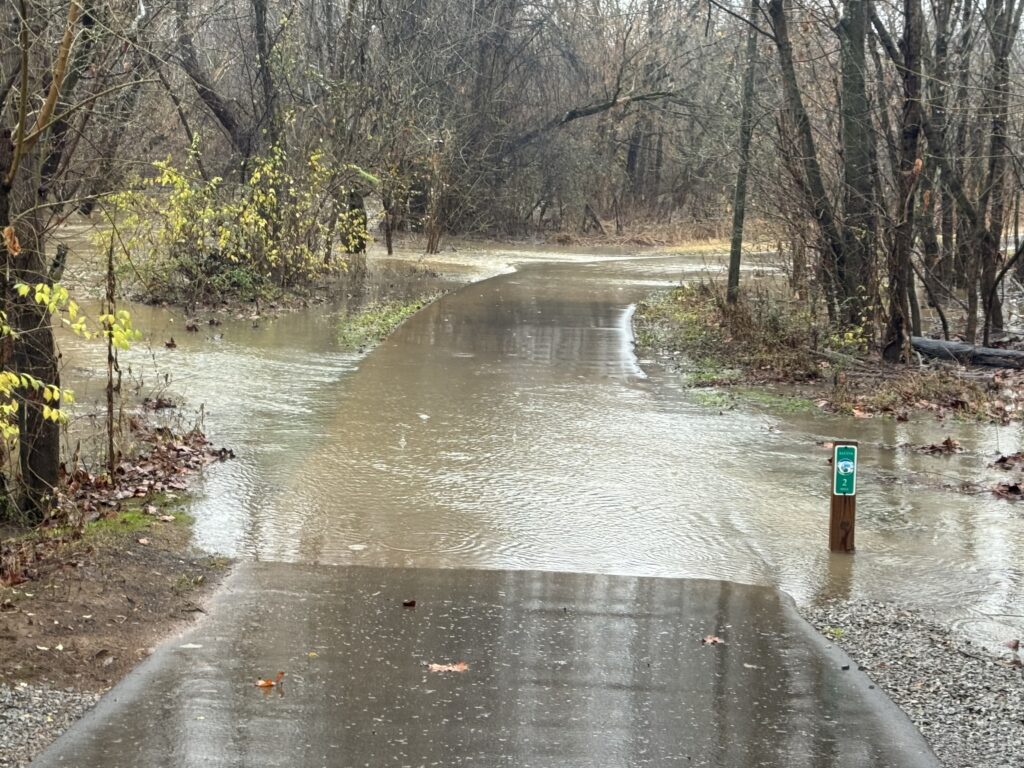

Another few hundred feet past that, I made it to the next flooded section that I was definitely not going to try to cross.
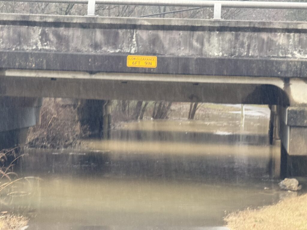
So I took the paved exit up onto the main highway, thinking I would cross it and go down the other side, but there was no entrance on the other side of the highway. Instead I took a side street until I could reconnect with the path. I followed it back behind some sort of landfill or quarry until I reached the next flooded section.
Shortly after I took this video, I started to hear voices of people talking. They were coming from up ahead so I figured it may have been kayakers paddling backwards upstream. I was trying to figure out a meeting spot for Analise and I convenient to the interstate yet closer to where I was because she was already getting close to Knoxville. While I was doing that I see a guy trudging waist deep through the water with someone who I thought was in a kayak (because I had already been thinking that) but was actually just a lot shorter and was walking almost chest deep through the trail ahead.
I hollered out if they were on the trail and he couldn’t hear me so I rode across the next stretch while they were walking this way. We chatted for a few minutes and laughed about the situation. They were both in shorts and short sleeves and trail running shoes that looked like decent water shoes. He said I could make it through if I carried my bike on my shoulder. But I said, “no thanks, trying not to submerge my feet completely”.
I turned around crossed back across the long deep section and made it back eventually to the last road I had crossed (it was probably half a mile). My google maps was flipping out at that point repeating “Continue 2 miles”, “Make a u-turn”, “Continue 2 miles”, “Make a u-turn” constantly. I turned left and made my way to a state highway (TN-168 which Google Maps absolutely didn’t want me on. It tried to route me off at every intersection back to that bike path.
It wasn’t bad, though, with a decent shoulder albeit variable width and sometimes debris filled. Traffic didn’t get bad until a traffic light intersection at which point I think the main flow of traffic merged onto that highway. The shoulder got wider, but traffic also got much busier and faster as it continued to rain even harder than it was on the greenway.
Sadly, not too far before the end, these teenagers in a jeep (I’m guessing because of the pitch of the scream) came flying by and they had rolled down the passenger window and screamed so loud right into my ear less than a couple feet away while driving by at 50mph. They nailed the timing perfectly and if they were attempting to scare me, they most definitely gave this guy who has been hit and hospitalized for weeks by two cars and has PTSD from loud noises a terrible scare. Thankfully I didn’t hit anything or fall. It made me very angry, but I didn’t yell anything back because I was too rattled and there were too many cars and debris to dodge to let the anger really get to me. I’m sure they thought it was real funny.
America, and especially the South, is becoming the land of the increasingly anti-intellectual, “I don’t care about anybody but myself” people, not thinking of the consequences of their actions. I see it every time I go out to ride my bike. Sadly, though, I don’t think it’s limited to the South. I get the brunt of this anger directed at me while I’m riding my bike because anyone on a bike has to be a damn liberal that needs to be owned, right? That’s what a not insignificant number of people around here think, but certainly not all people, but still, enough people to get yelled at nearly every ride. And no, they aren’t just yelling me at me because I’m in their way and preventing their God-given right to drive a car as fast as they want to. They are yelling at me because I’m in their way AND I’m not like them. That’s what scares some people. That’s what really angers some people.
Shortly after this, I made it to the French Broad River bridge and stopped to take a picture of the waterfall. Less than a mile up the road, I found Analise at the gas station where she snapped the picture below of a wet, cold, and still somewhat shocked me, but elated to be finished and looking forward to a long, dry trip back home to catch up with my daughter.
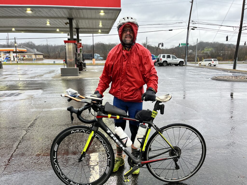
Long story short
In summary, these were all epic adventures, punctuated by moments of fun, lots of misery, too, though and some mean dogs, careless dog owners, and mean car driving jerks, and a duck — the highs and lows of biking long distances in the good ol’ USA.